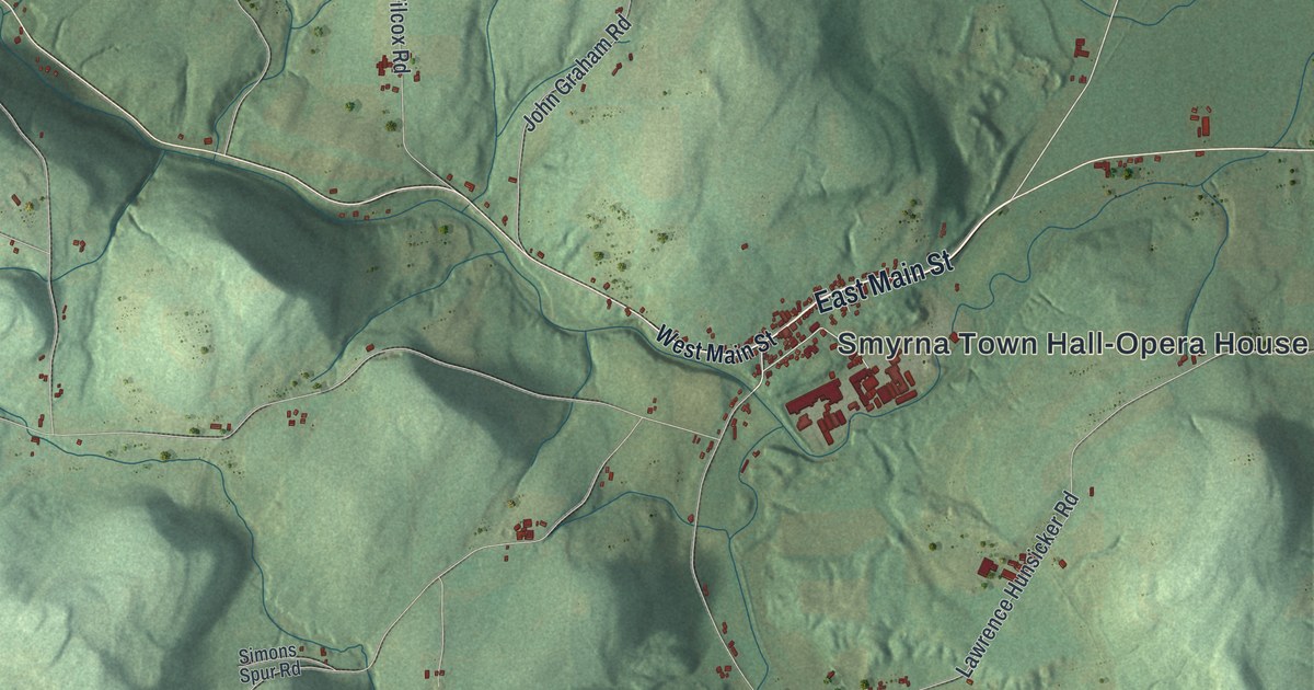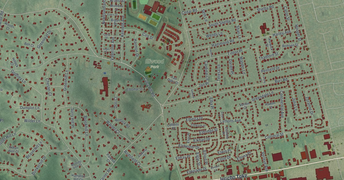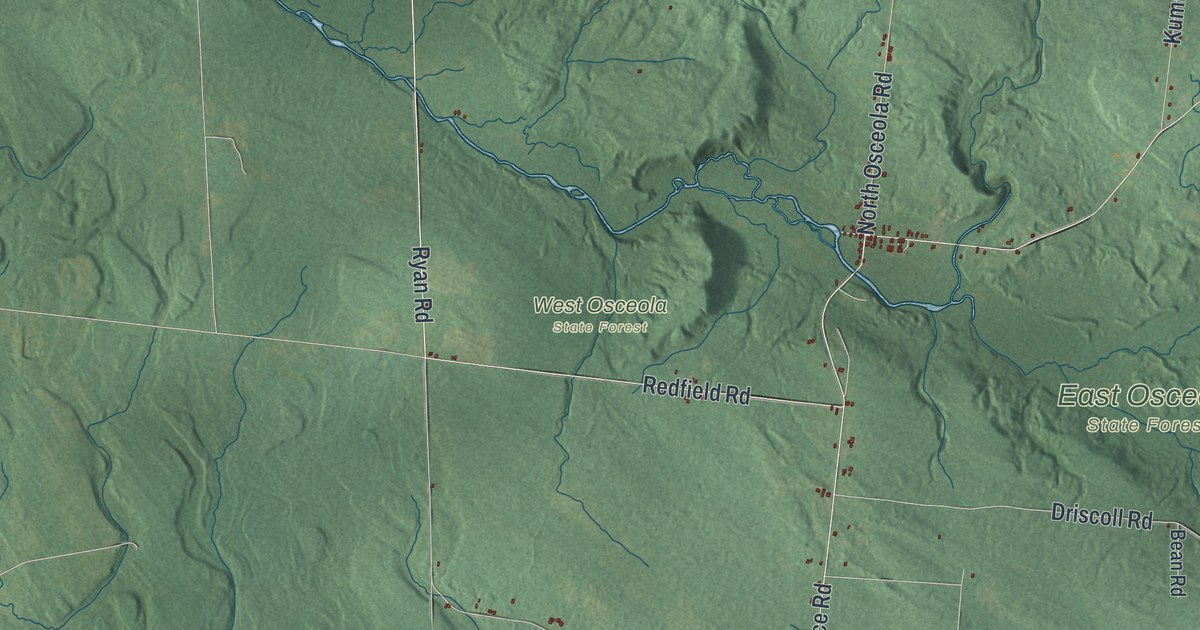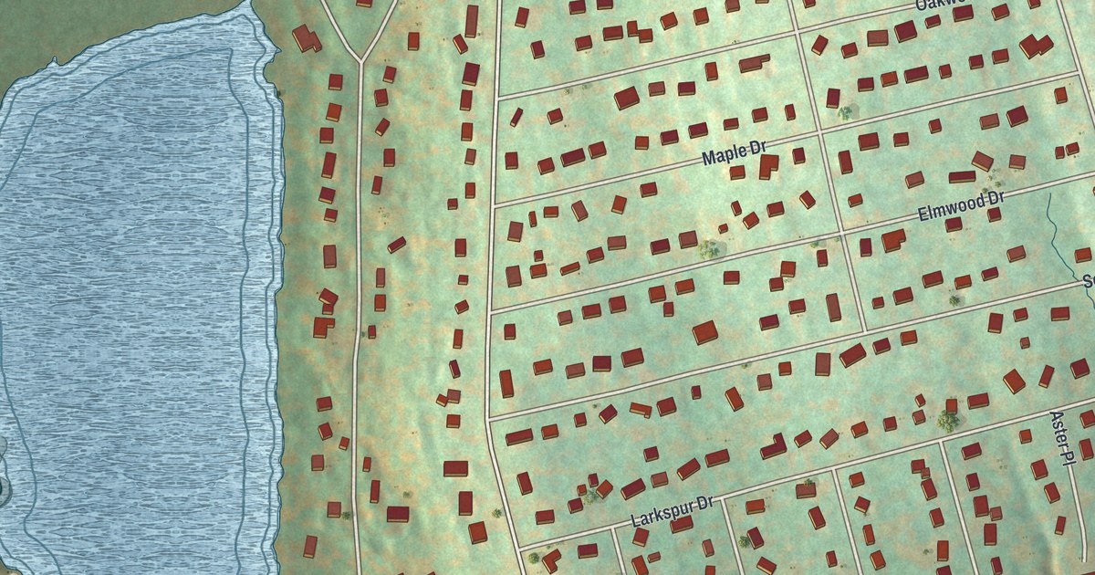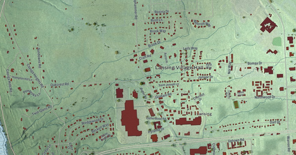
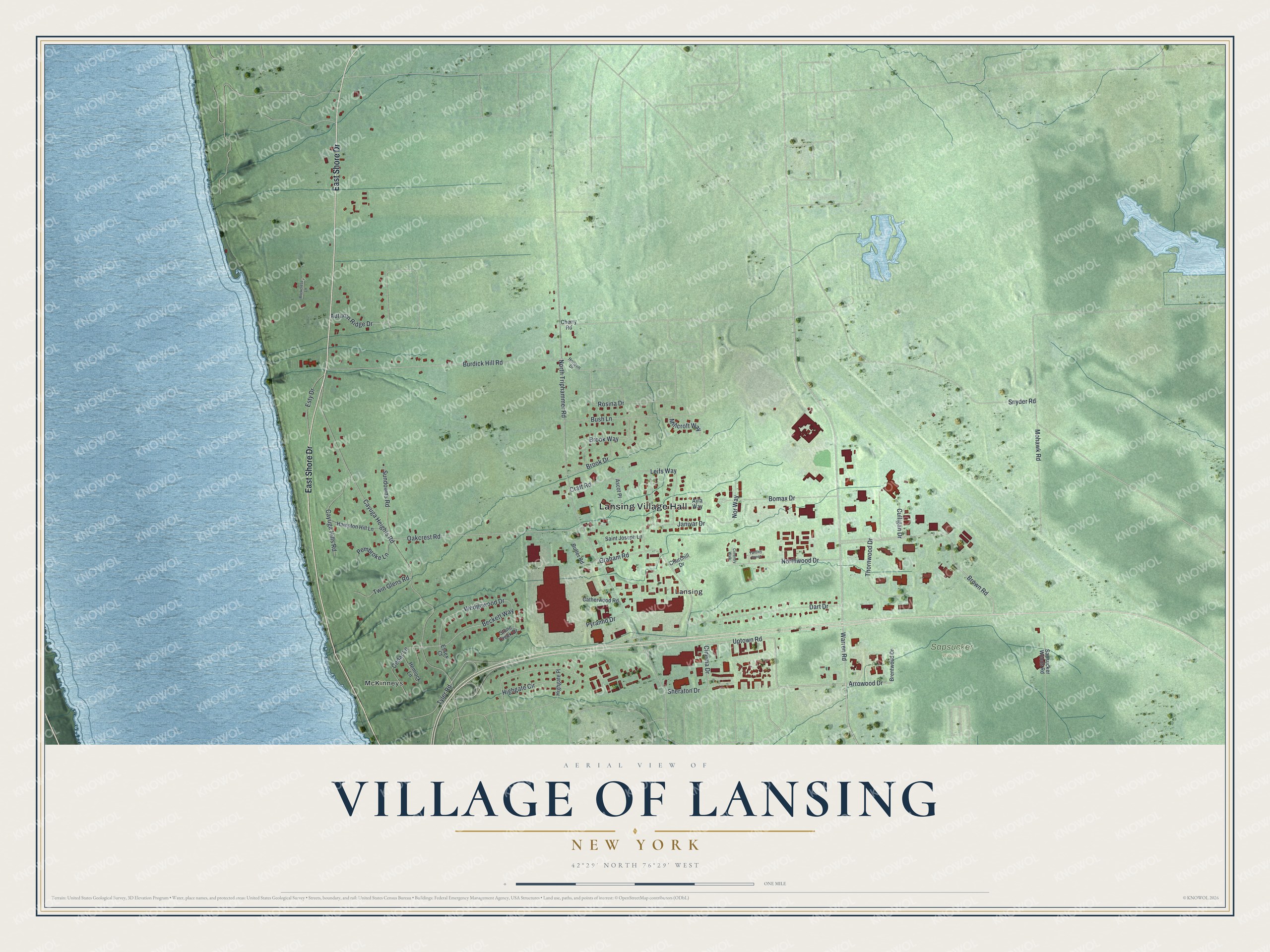
This beautifully detailed map of the Village of Lansing, New York was created in 2026 using aerial imagery combined with modern topographical, census, street and landmark data. It’s a one-of-a-kind view of the Village of Lansing that combines accurate data with a vintage aesthetic. The map shows every building in its true location, many of the roads carry their names, and the shaded topographic relief shows the shape of the land.
Explore an aerial view of the Village of Lansing, New York
On the map you’ll find Lansing Village Hall and McKinneys, along with Shore Drive, Uptown Road, Arrowood Drive, Warren Road, and more. If you look closely you can even find your house accurately drawn in its correct location. Zoom in on the preview to look for yours.
Take a closer look at the Village of Lansing map
Names on this map
These names are printed on this map.
Places: Lansing Village Hall, Sapsucker Woods, Lansing and McKinneys.
Streets and roads: East Shore Drive, Uptown Road, Arrowood Drive, Warren Road, Cinema Drive, Graham Road, Cedar Lane, North Triphammer Road, Cayuga Heights Road, Brown Road, Burdick Hill Road, Oakcrest Road.
More street names, A to Z
Ascot Place, Autumn Ridge Drive, Ayla Way, Beckett Way, Bomax Drive, Brentwood Drive, Brook Drive, Brook Way, Bush Lane, Butler Road, Catherwood Road, Cayuga Hills Road, Cherry Road, Churchill Drive, Coventry Walk, Craft Road, Culligan Drive, Dart Drive, Essex Court, Esty Drive, Hampton Hill Lane, Hemlock Lane, Highgate Circle, Highgate Place, Horizon Drive, Janivar Drive, Leifs Way, Millcroft Way, Mohawk Road, Northwood Drive, Nor Way, Pembroke Lane, Pyramid Drive, Rockcress Lane, Rosina Drive, Saint Joseph Lane, Sapsucker Woods Road, Sheraton Drive, Snyder Road, Stone Creek Drive, Sundowns Road, Thornwood Drive, Twin Glens Road, Tyler Road, Wedgewood Drive, Yardley Green.
See it on a wall
The Lansing map as a framed print. Swipe for more.


This beautifully detailed map of the Village of Lansing makes an attractive addition to your office, library, or den, and it can even be used to teach children the geography and history of the area. It also makes a great gift for someone who left the Village of Lansing and still calls it home. When you’re done exploring, click here to get your copy of the Village of Lansing map.