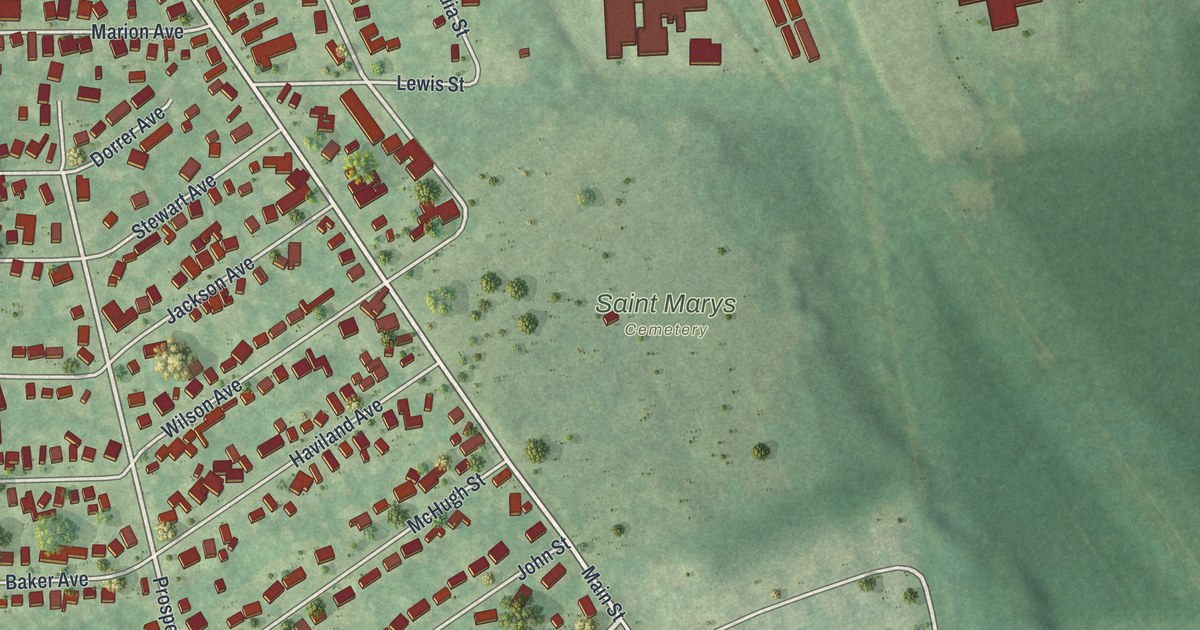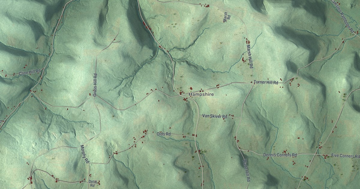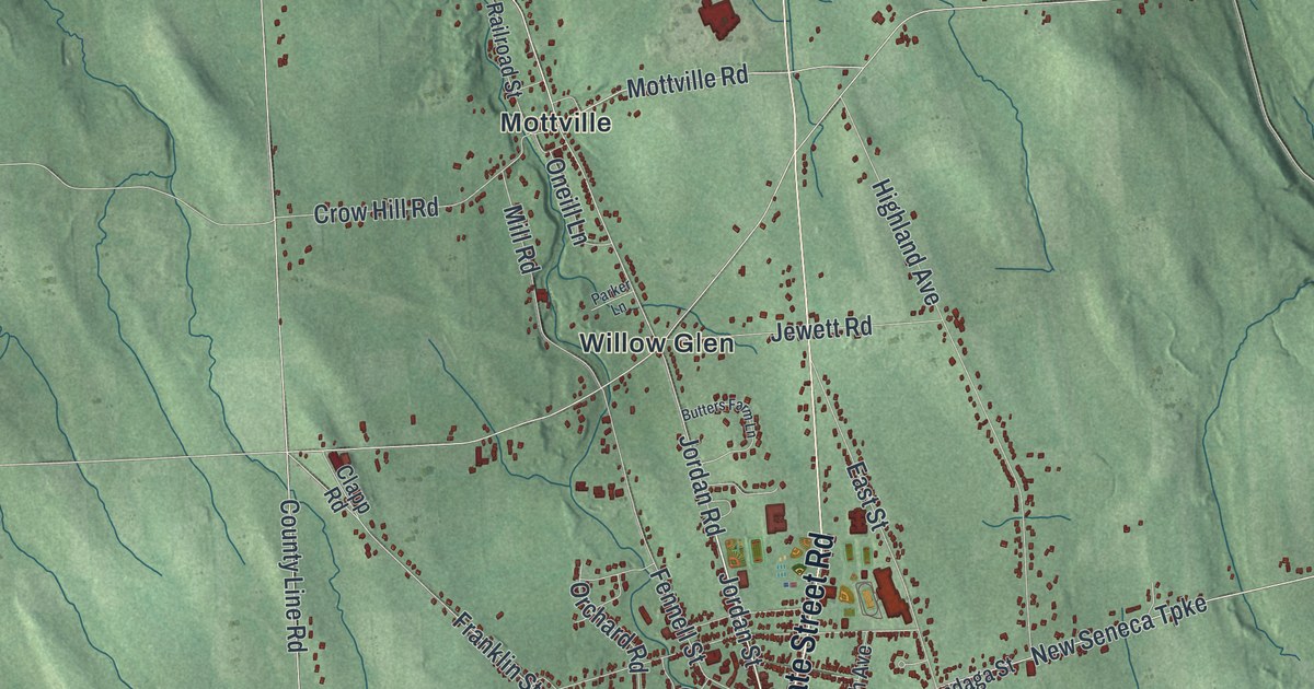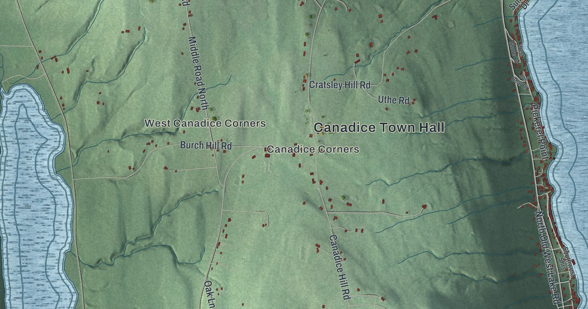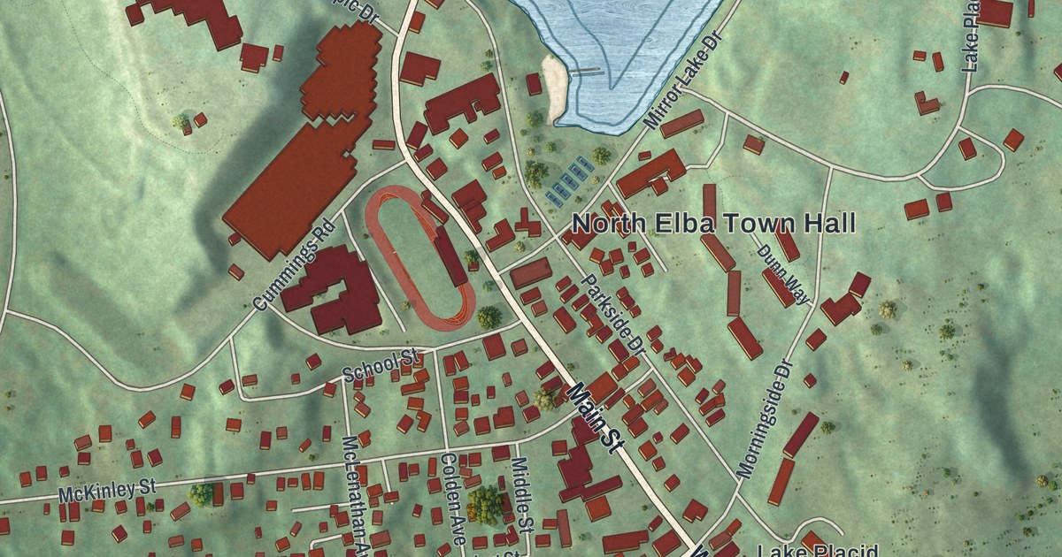
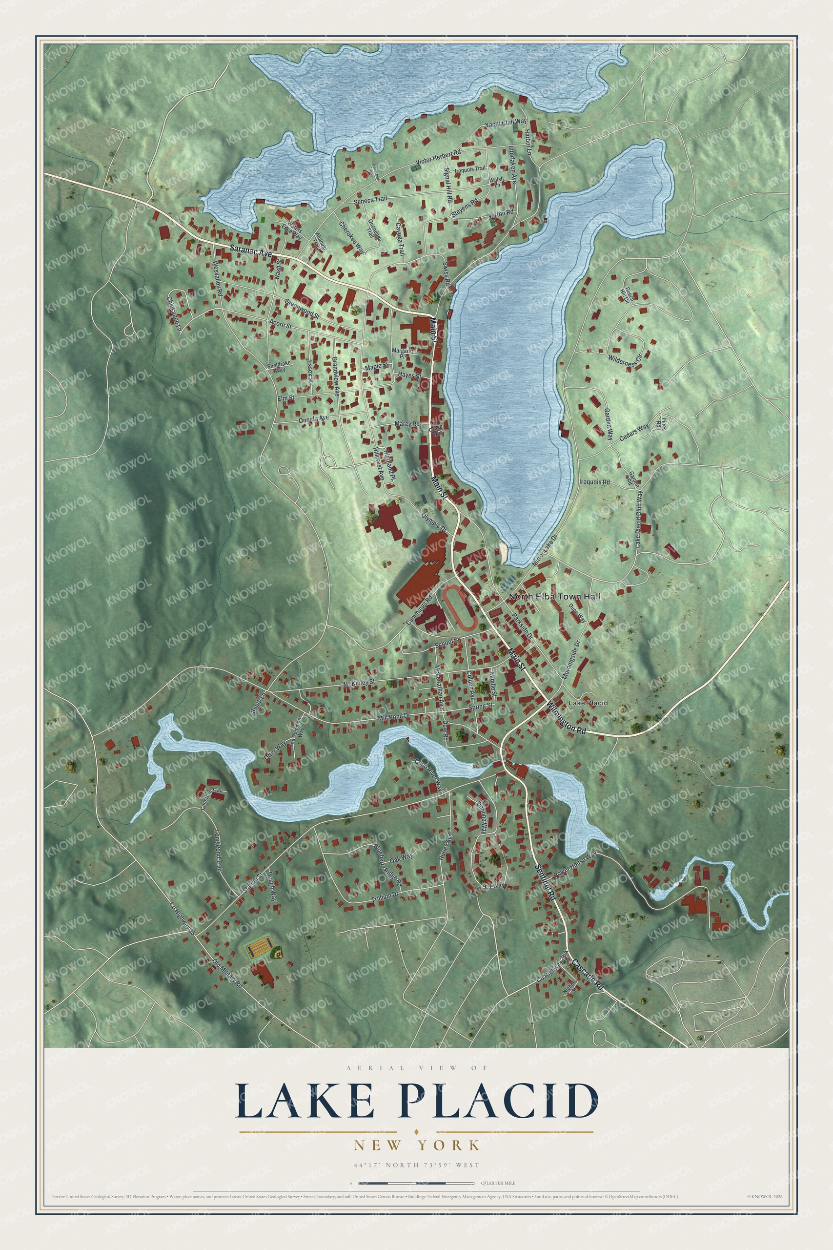
This beautifully detailed map of Lake Placid, New York was created in 2026 using aerial imagery combined with modern topographical, census, street and landmark data. It’s a one-of-a-kind view of Lake Placid that combines accurate data with a vintage aesthetic. The map shows every building in its true location, many of the roads carry their names, and the shaded topographic relief shows the shape of the land.
Explore an aerial view of Lake Placid, New York
On the map you’ll find North Elba Town Hall, along with Main Street, Saranac Avenue, Wilmington Road, Sentinel Road, and more. If you look closely you can even find your house accurately drawn in its correct location. Zoom in on the preview to look for yours.
Did You Know?
The Dewey Decimal System’s inventor designed the Placid Park Club in 1895. He was Melvil Dewey, and his club led the village to rename itself Lake Placid. He kept the club open through the winter of 1905. That move helped winter sports develop in the area.
Take a closer look at the Lake Placid map
Names on this map
These names are printed on this map.
Places: North Elba Town Hall and Lake Placid.
Streets and roads: Main Street, Saranac Avenue, Wilmington Road, Sentinel Road, Cascade Road, Lake Placid Club Way, Chickadee Lane, Fir Way, Spring Street, Mirror Lake Drive, Mill Pond Drive, Station Street.
More street names, A to Z
Abanaki Trail, Acorn Street, Beech Hill Circle, Blueberry Ridge Road, Cayuga Trail, Cedars Way, Cherokee Way, Chub River Way, Cimerron Trail, Colden Avenue, County Highway 35, Cummings Road, Dooling Way, Dow Road, Dunn Way, Elm Street, Essex Street, Garden Road, Garden Way, Grace Way, Grandview Avenue, Greenwood Street, Harbor Lane, Hayes Street, Highland Place, Hillcrest Avenue, Hough Way, Hurley Avenue, Interlaken Avenue, Iroquois Road, Iroquois Trail, Long Pond Trail, Maple Street, Marcy Road, Margaret Place, McKinley Street, McLenathan Avenue, Middle Street, Morningside Drive, Nash Street, Nichols Street, Norton Road, Oak Way, Old Military Road, Olympic Drive, Oneida Avenue, Onondaga Trail, Opeechee Way, Otter Way, Parkside Drive, Pines Road, Power House Way, School Street, Seneca Trail, Sheldrake Way, Signal Hill Road, Smith Lane, Stevens Road, Swiss Road, The Commons Way, Trillium Drive, Victor Herbert Road, Walsh Lane, Waters Edge Way, Wesvalley Road, Wilderness Circle, Yacht Club Way.
See it on a wall
The Lake Placid map as a framed print. Swipe for more.


This beautifully detailed map of Lake Placid makes an attractive addition to your office, library, or den, and it can even be used to teach children the geography and history of the area. It also makes a great gift for anyone with Lake Placid roots. When you’re done exploring, click here to get your copy of the Lake Placid map.