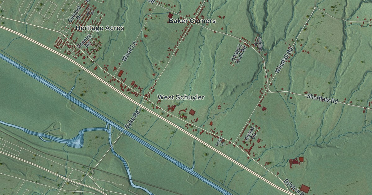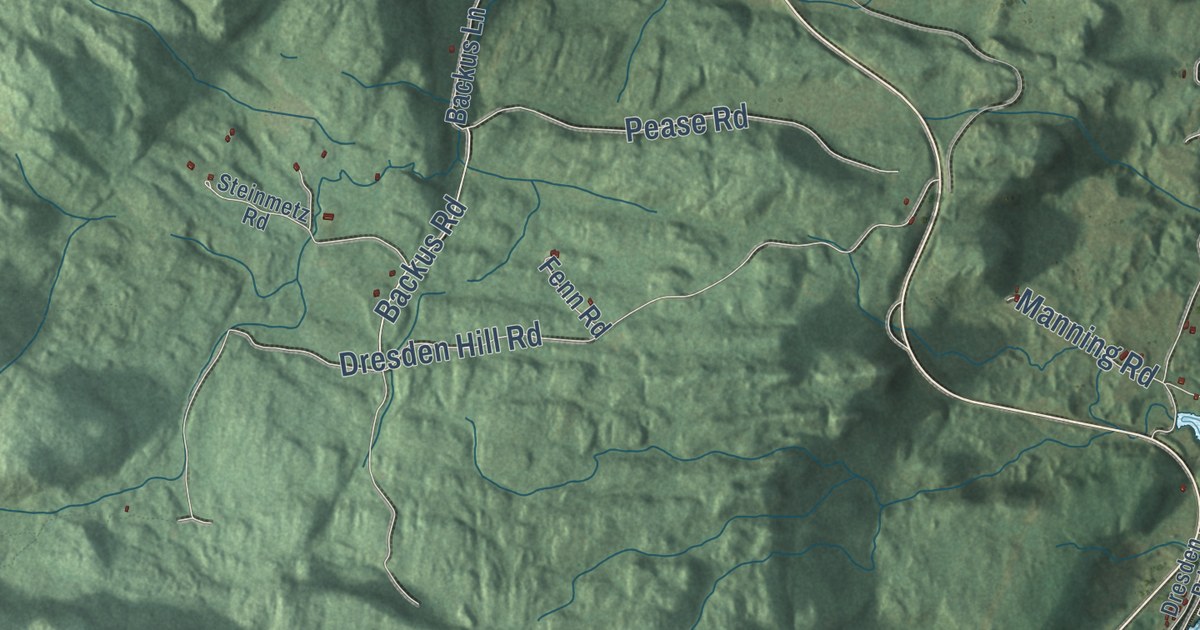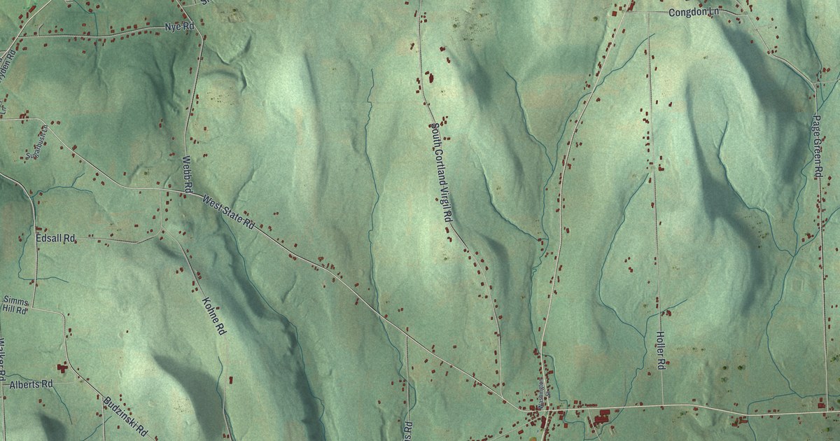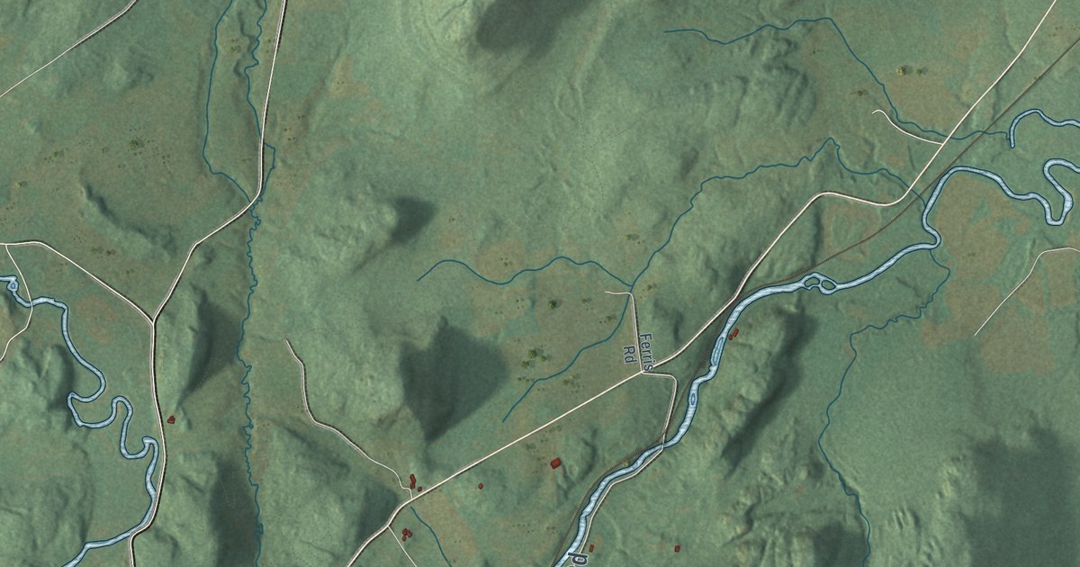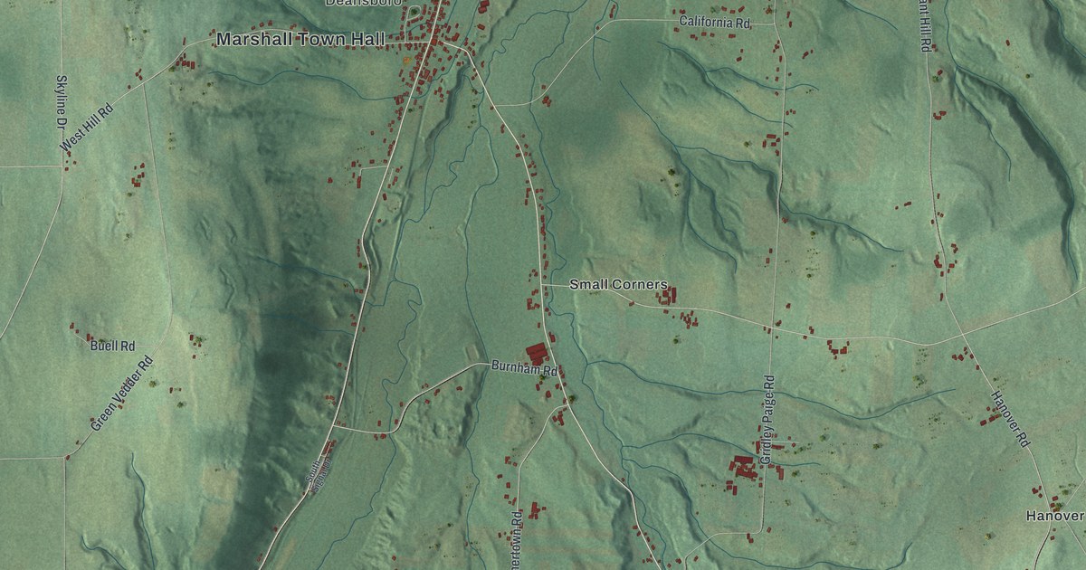
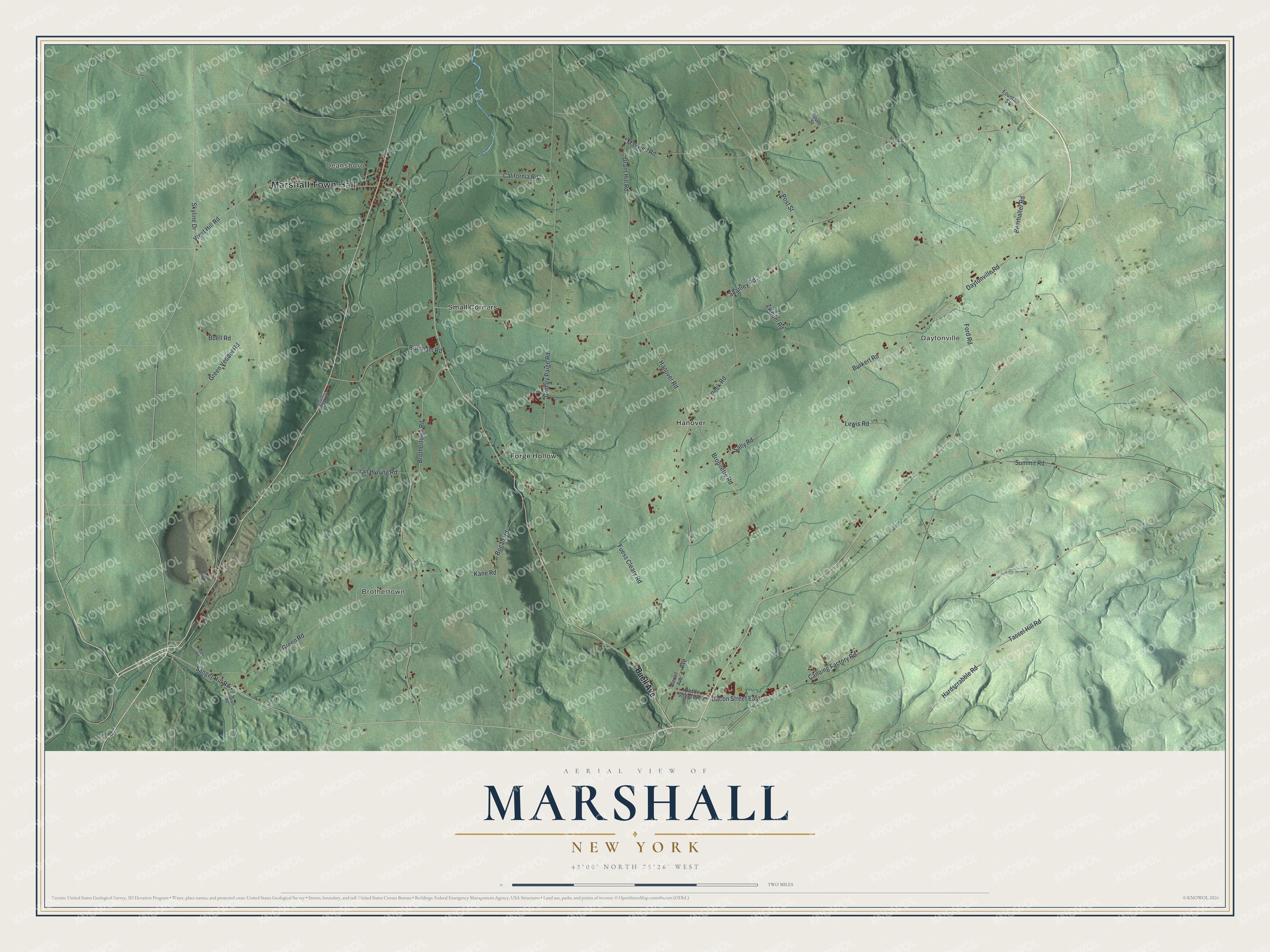
This beautifully detailed map of Marshall, New York was created in 2026 using aerial imagery combined with modern topographical, census, street and landmark data. It’s a one-of-a-kind view of Marshall that combines accurate data with a vintage aesthetic. The map shows every building in its true location, many of the roads carry their names, and the shaded topographic relief shows the shape of the land.
Explore an aerial view of Marshall, New York
On the map you’ll find Marshall Town Hall, Deansboro, Daytonville, Brothertown, Forge Hollow, and Hanover, along with Buell Avenue, Sanger Hill Road, Sally Road, Lewis Road, and more. If you look closely you can even find your house accurately drawn in its correct location. Zoom in on the preview to look for yours.
Did You Know?
The first settlers in Marshall were the Brothertown Indians, about 400 Christian people from scattered New England and Long Island tribes. Led by Asa Dick and Samson Occom, they came around 1774 on land granted by the Oneida. They built grist mills along Oriskany Creek. By 1850 many had moved on to Green Bay, Wisconsin.
Take a closer look at the Marshall map
Names on this map
These names are printed on this map.
Places: Marshall Town Hall, Deansboro, Daytonville, Brothertown, Forge Hollow, Hanover and Small Corners.
Streets and roads: Buell Avenue, Sanger Hill Road, Sally Road, Lewis Road, Grant Hill Road, Avenue, Maxwell Road, Shanley Road, Hanover Road, Bacon Street East, West Hill Road, Tassel Hill Road.
More street names, A to Z
Alabam Road, Bacon Street West, Beerhalter Road, Berrill Avenue, Bogan Road, Brothertown Road, Brouilette Road, Buell Road, Burkert Road, Burnham Road, California Road, Canning Factory Road, Daytonville Road, Ford Road, Fountain Street, Fuess Cleary Road, Green Road, Green Vedder Road, Gridley Paige Road, Hardscrabble Road, Jasek Road, Kane Road, Peck Road, Post Street, Skyline Drive, South Signal Drive, South Street, Summit Road, Van Hyning Road, Zweifel Road.
See it on a wall
The Marshall map as a framed print. Swipe for more.


This beautifully detailed map of Marshall makes an attractive addition to your office, library, or den, and it can even be used to teach children the geography and history of the area. It also makes a great gift for anyone with Marshall roots. When you’re done exploring, click here to get your copy of the Marshall map.