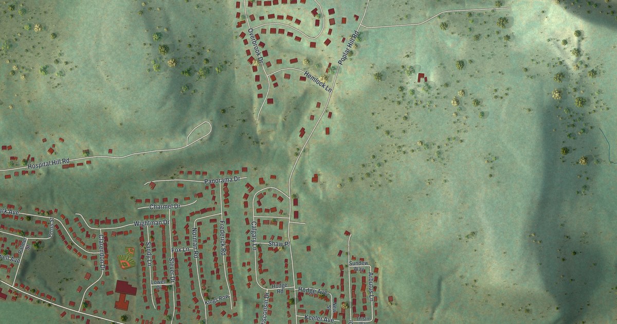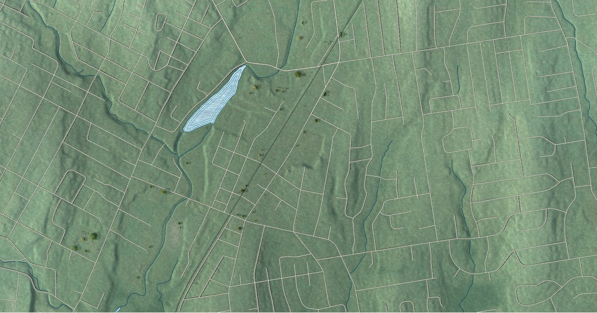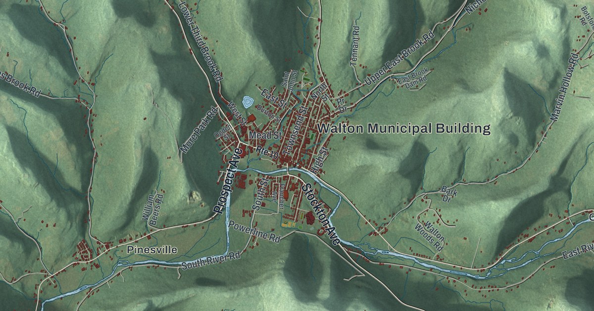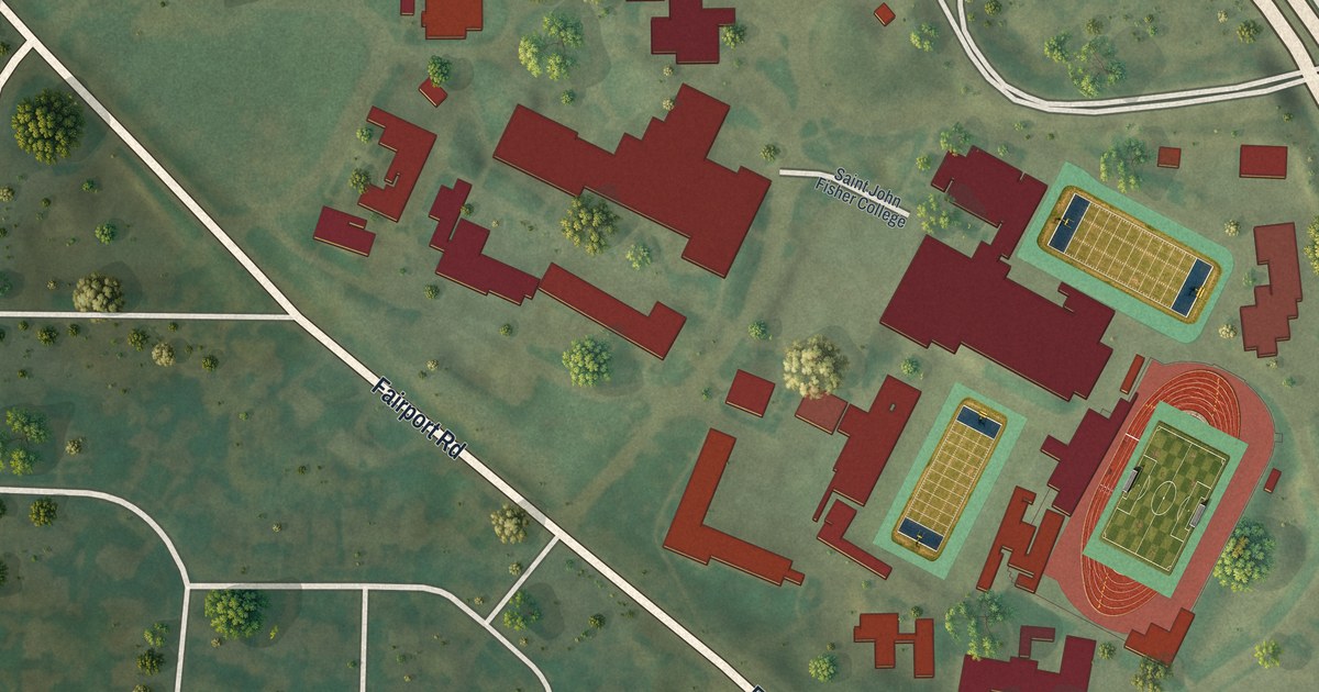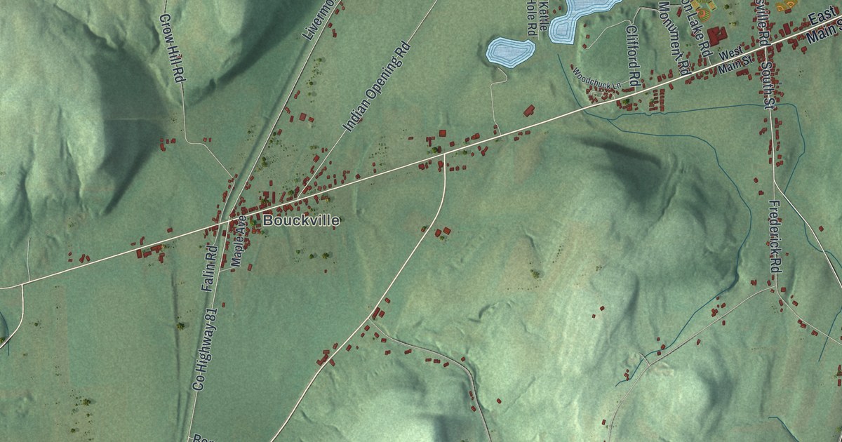
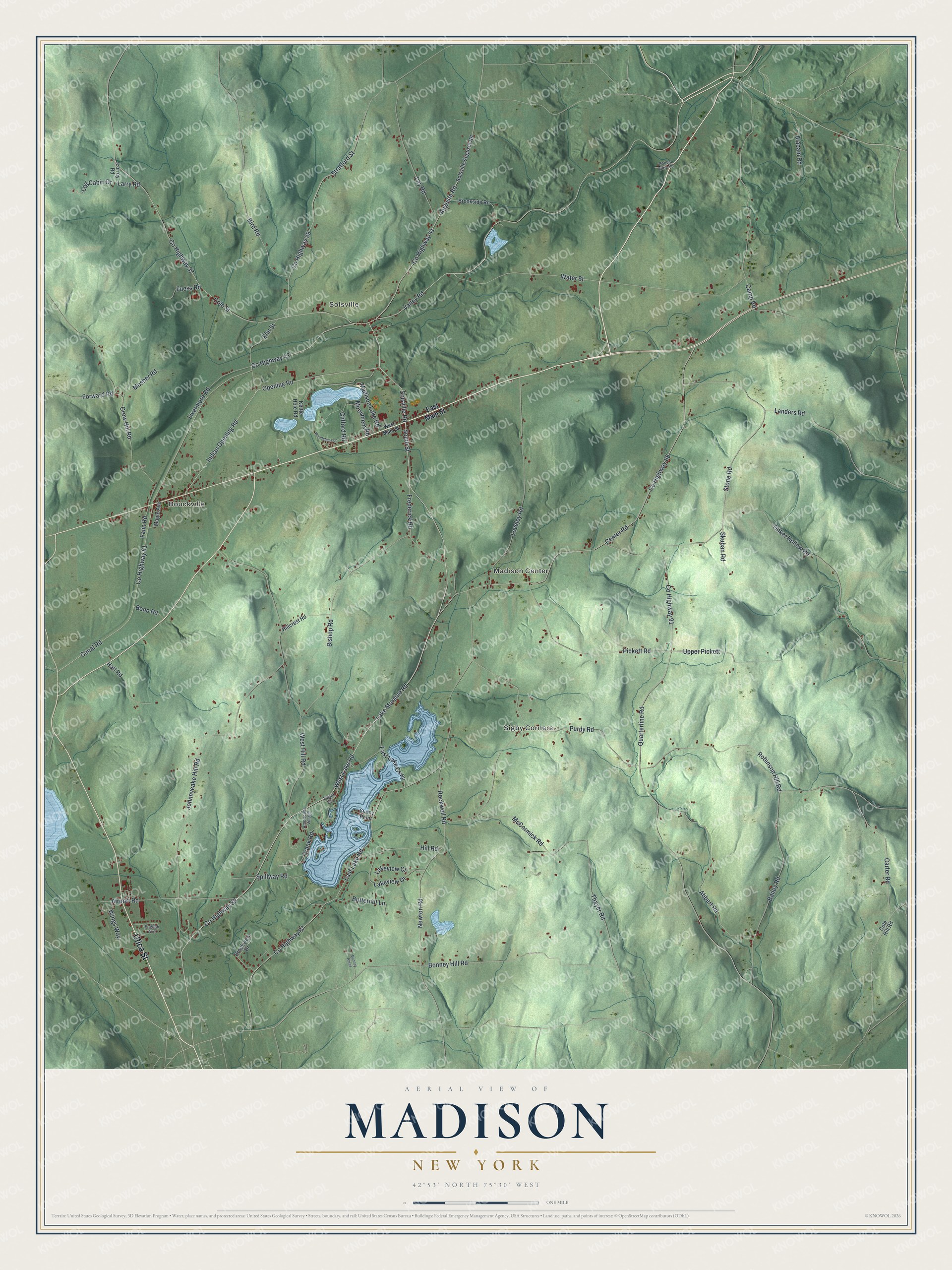
This beautifully detailed map of Madison, New York was created in 2026 using aerial imagery combined with modern topographical, census, street and landmark data. It’s a one-of-a-kind view of Madison that combines accurate data with a vintage aesthetic. The map shows every building in its true location, many of the roads carry their names, and the shaded topographic relief shows the shape of the land.
Explore an aerial view of Madison, New York
On the map you’ll find Bouckville, Solsville, Sigby Corners, and Madison Center, along with Utica Street, Main Street, Lake Moraine Road, South Street, Solsville Road, and more. If you look closely you can even find your house accurately drawn in its correct location. Zoom in on the preview to look for yours.
Did You Know?
In 1808 James D. Coolidge began growing hops in Bouckville, using roots from his neighbors’ gardens. In the fall of 1816 he took the first western hops to market in New York City. Local farmers soon planted hops too. By 1878 the town ranked second in its county for hops. That’s from the Town of Madison.
Take a closer look at the Madison map
Names on this map
These names are printed on this map.
Places: Bouckville, Solsville, Sigby Corners and Madison Center.
Streets and roads: Utica Street, County Highway 83, Lake Moraine Road, South Street, Solsville Road, Valley Road, Canal Road, Frank Road, County Highway 91, County Highway 87, County Highway 43, Quarterline Road.
More street names, A to Z
Abbert Road, Airport Road, Alabam Road, Americana Village, Augusta Road, Bailey Road, Bird Road, Bishop Road, Bonney Acres, Bonney Hill Road, Bono Road, Bonus Alley Road, Brookside Road, Brookview Drive, Butternut Lane, Camp Road, Carter Road, Center Road, Clifford Road, Cole Hill Road, Cole Street, County Highway 37, County Highway 39, County Highway 41, County Highway 68, County Highway 81, Crow Hill Road, East Lake Causeway, East Lake Road, East Main Street, Elm Street, English Avenue, Falin Road, Forward Road, Frederick Road, Fuess Road, Hall Road, Hillcrest Road, Hill Road, Indian Opening Road, Johnnycake Hill Road, Kettle Hole Road, Lakeview Court, Lakeview Drive, Landers Road, Larry Road, Lay Road, Livermore Road, Log Cabin Drive, Lorrey Road, Lovejoy Road, Madison Lake Road, Maple Avenue, McCormick Road, Monument Road, Mosher Road, Newton Road, Opening Road, Pickett Road, Purdy Road, Robinson Hill Road, Rockwell Road, Skuban Road, Solsville Augusta Road, Spillway Road, Stone Road, Stratford Street, Sunny Point, Taylor Grv, Thayer Road, Tinker Hollow Road, Upper Pickett, Water Street, West Hill Road, West Lake Road, West Main Street, Wings Way, Woodchuck Lane.
See it on a wall
The Madison map as a framed print. Swipe for more.


This beautifully detailed map of Madison makes an attractive addition to your office, library, or den, and it can even be used to teach children the geography and history of the area. It also makes a great gift for anyone with Madison roots. When you’re done exploring, click here to get your copy of the Madison map.