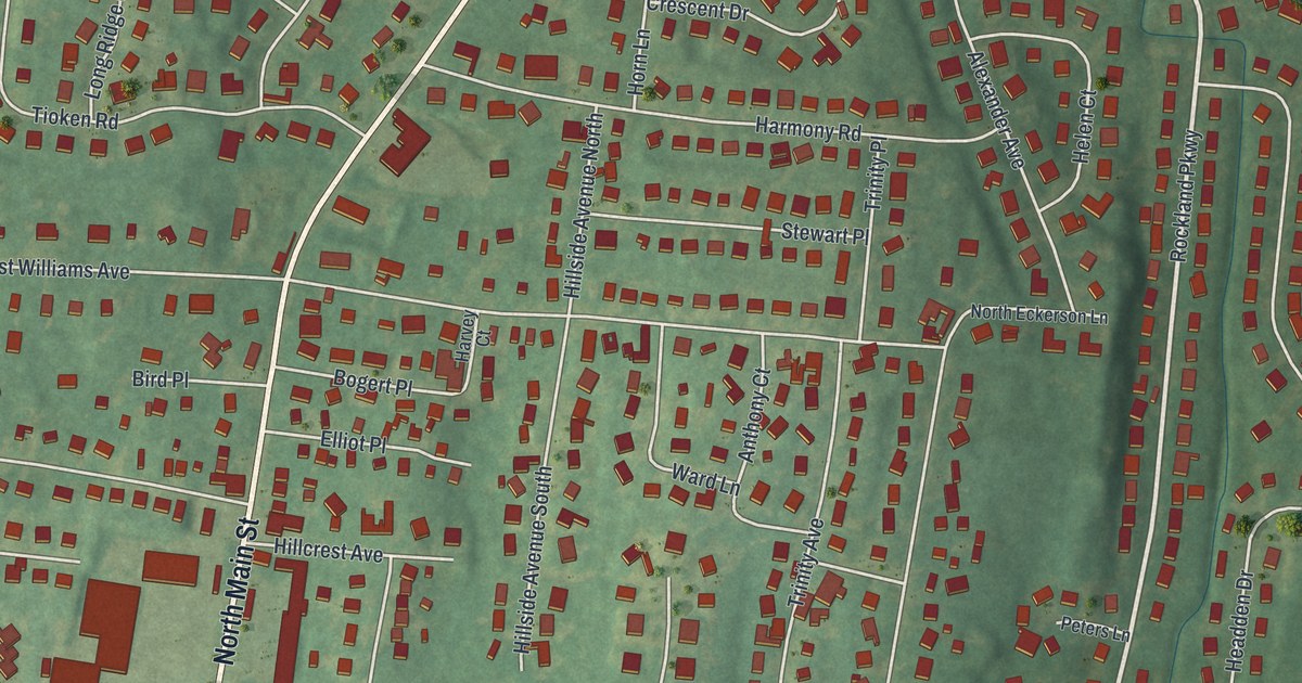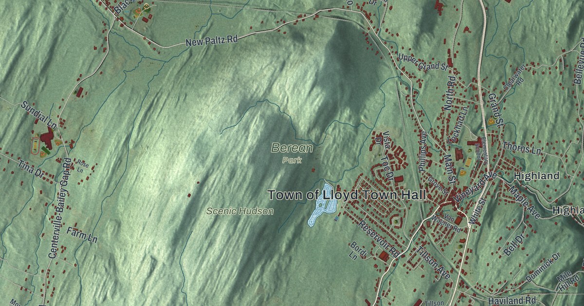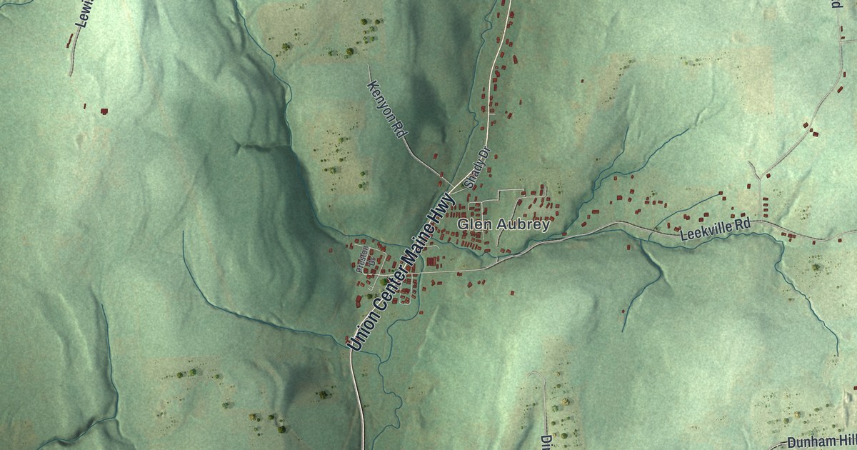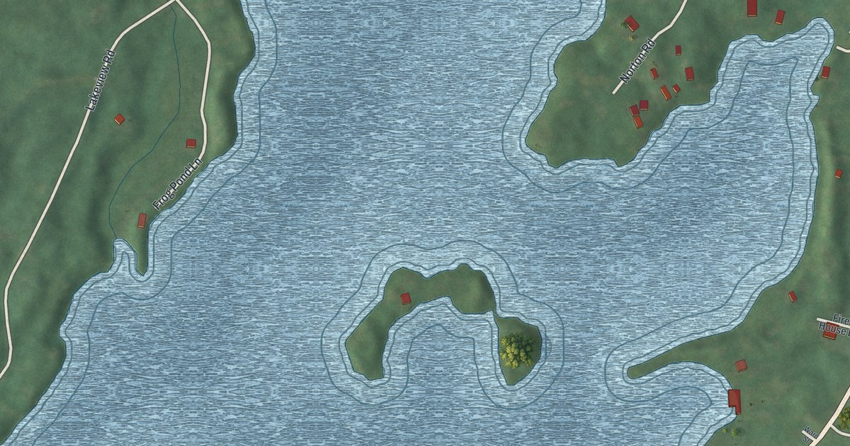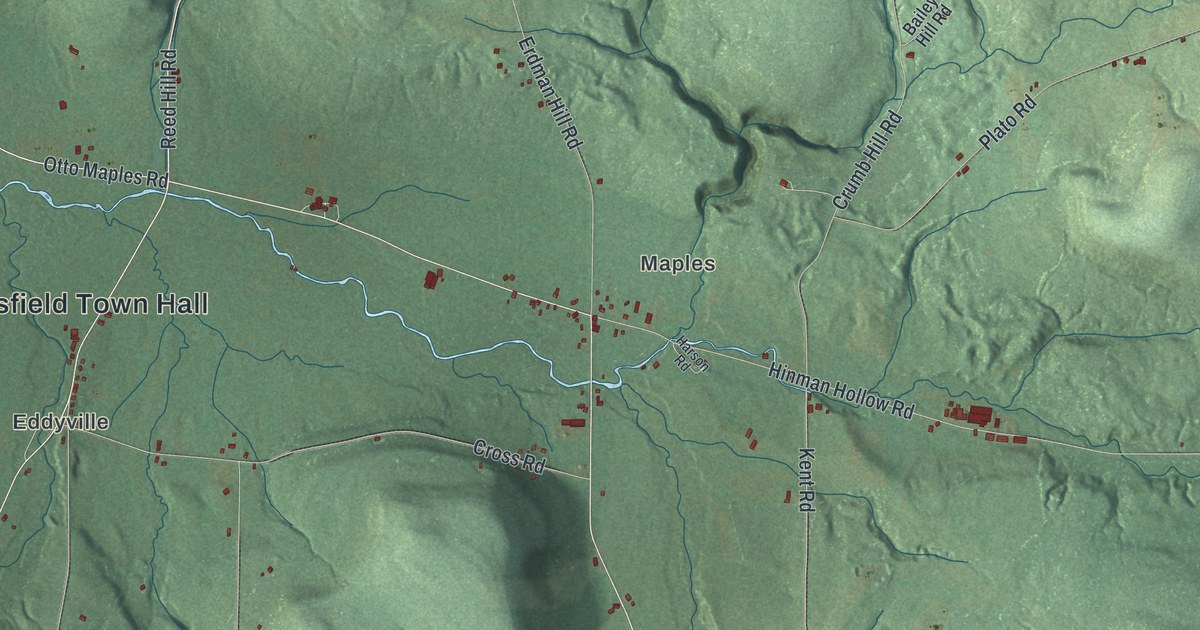
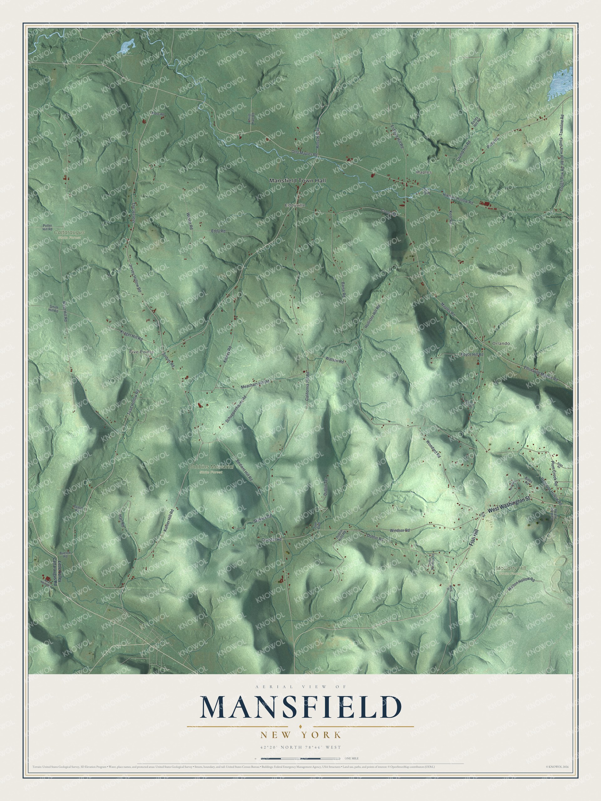
This beautifully detailed map of Mansfield, New York was created in 2026 using aerial imagery combined with modern topographical, census, street and landmark data. It’s a one-of-a-kind view of Mansfield that combines accurate data with a vintage aesthetic. The map shows every building in its true location, many of the roads carry their names, and the shaded topographic relief shows the shape of the land.
Explore an aerial view of Mansfield, New York
On the map you’ll find Mansfield Town Hall, Fish Hill, Maples, Orlando, Eddyville, Five Points, Cattaraugus State Forest, Dobbins Memorial State Forest, and McCarty Hill State Forest, along with Washington Street, Kahler Hill Road, Reed Hill Road, and more. If you look closely you can even find your house accurately drawn in its correct location. Zoom in on the preview to look for yours.
Did You Know?
Settlers first reached the Mansfield area around 1817. The town was carved out of Little Valley in 1830. Its first name was Cecilius, and the town switched to Mansfield one year later, in 1831.
Take a closer look at the Mansfield map
Names on this map
These names are printed on this map.
Places: Mansfield Town Hall, Maples, Orlando, Eddyville, Five Points, Cattaraugus State Forest, Dobbins Memorial State Forest and McCarty Hill State Forest.
Streets and roads: West Washington Street, Fish Hill, Kahler Hill Road, Reed Hill Road, Otto Maples Road, Sodum Road, Maples Road, Jersey Hollow Road, The Jerseys, Kent Road, Bedient Hill Road, Toad Hollow Road.
More street names, A to Z
Baase Road, Bailey Hill Road, Barse Road, Bibbs Road, Boyce Hill Road, Buelow Road, California Hill Road, Canfield Hill Road, Christ Hart Road, Crandall Road, Cross Road, Crumb Hill Road, Dublin Hills Road, Dublin Meadows Road, Dublin Road, Dublin Terrace, Eddy Road, Elliottville Maples Road, Erdman Hill Road, Fish Road, Gun Club, Harson Road, Hart Road, Hencoop Hollow Road, Hinman Hollow Road, Hollister Hill Road, Kidney Road, Krager Hill Road, Little Valley Cattaraugus Road, Meacham Hill Road, Moranda Lane, Moss Road, Mountain Gate Road, Mutton Hollow Road, New Albion Road, Plato Road, Plum Creek Road, Potter Hill Road, Ridge Road, Schuppenhauer Road, Skinner Road, Smith Hill Road, Tough Row Hill Road, Tough Row Road, Townline Road, Watson Road, West Hill Road, Whig Street, Wilson Road, Windsor Road, Woodard Road.
See it on a wall
The Mansfield map as a framed print. Swipe for more.


This beautifully detailed map of Mansfield makes an attractive addition to your office, library, or den, and it can even be used to teach children the geography and history of the area. It also makes a great gift for anyone with Mansfield roots. When you’re done exploring, click here to get your copy of the Mansfield map.