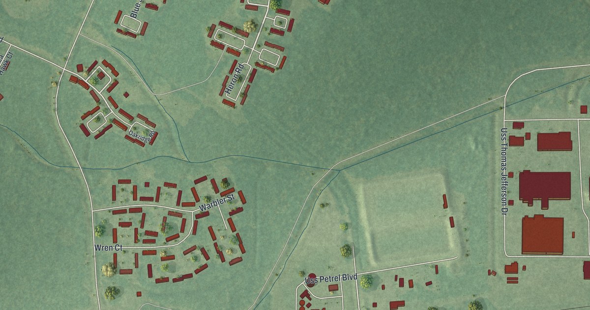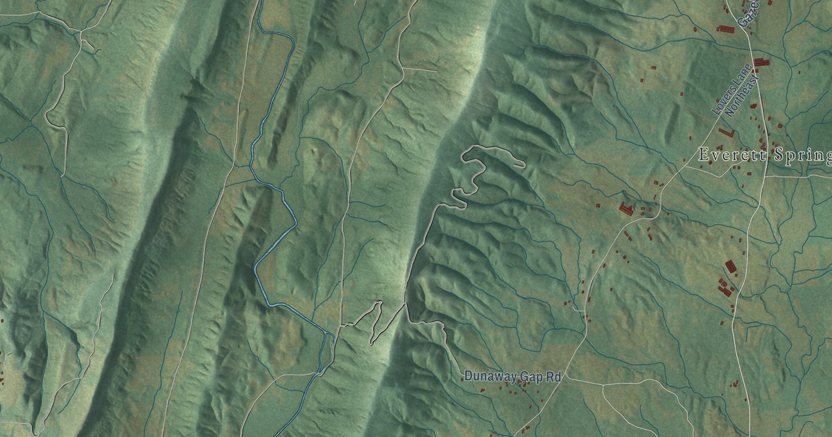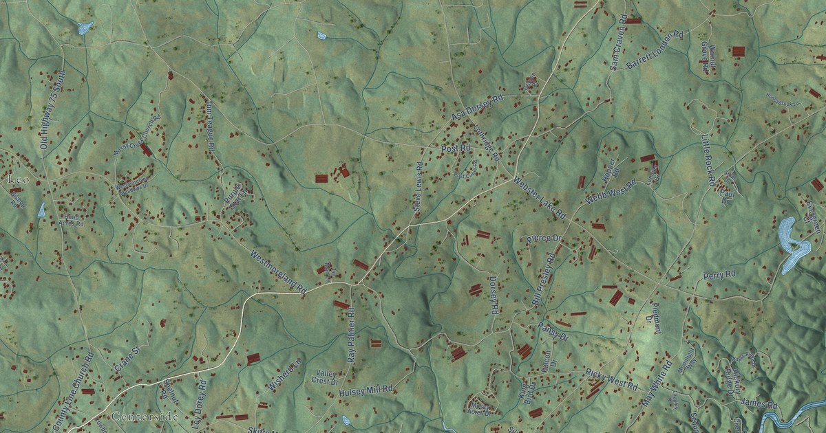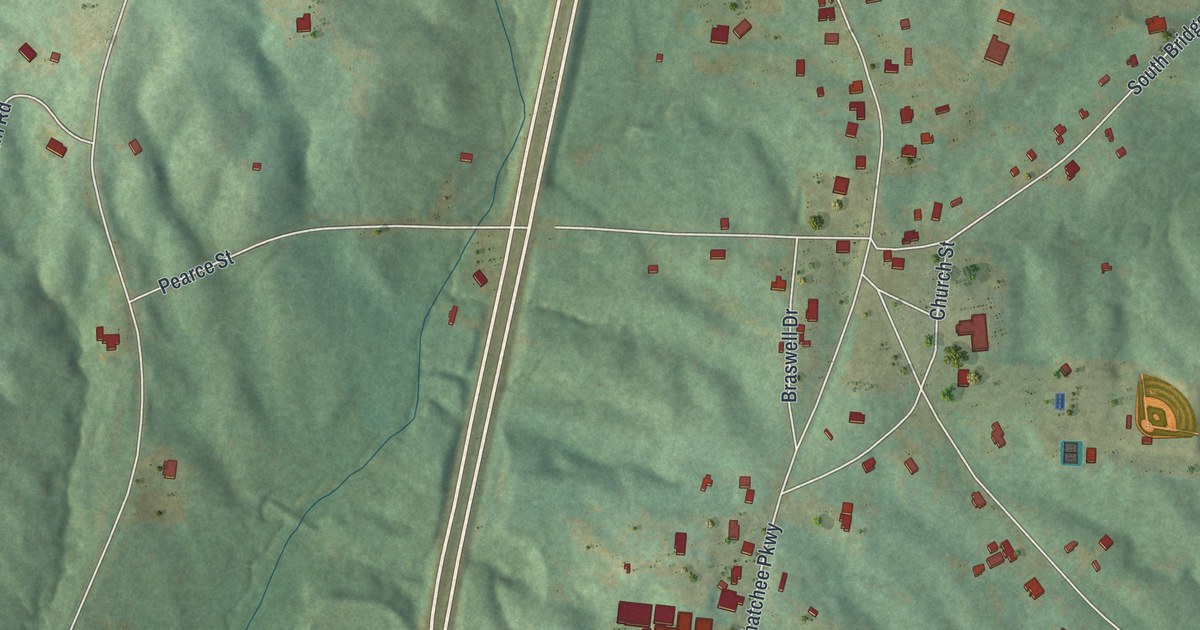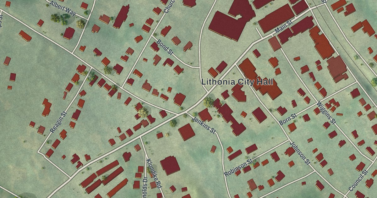
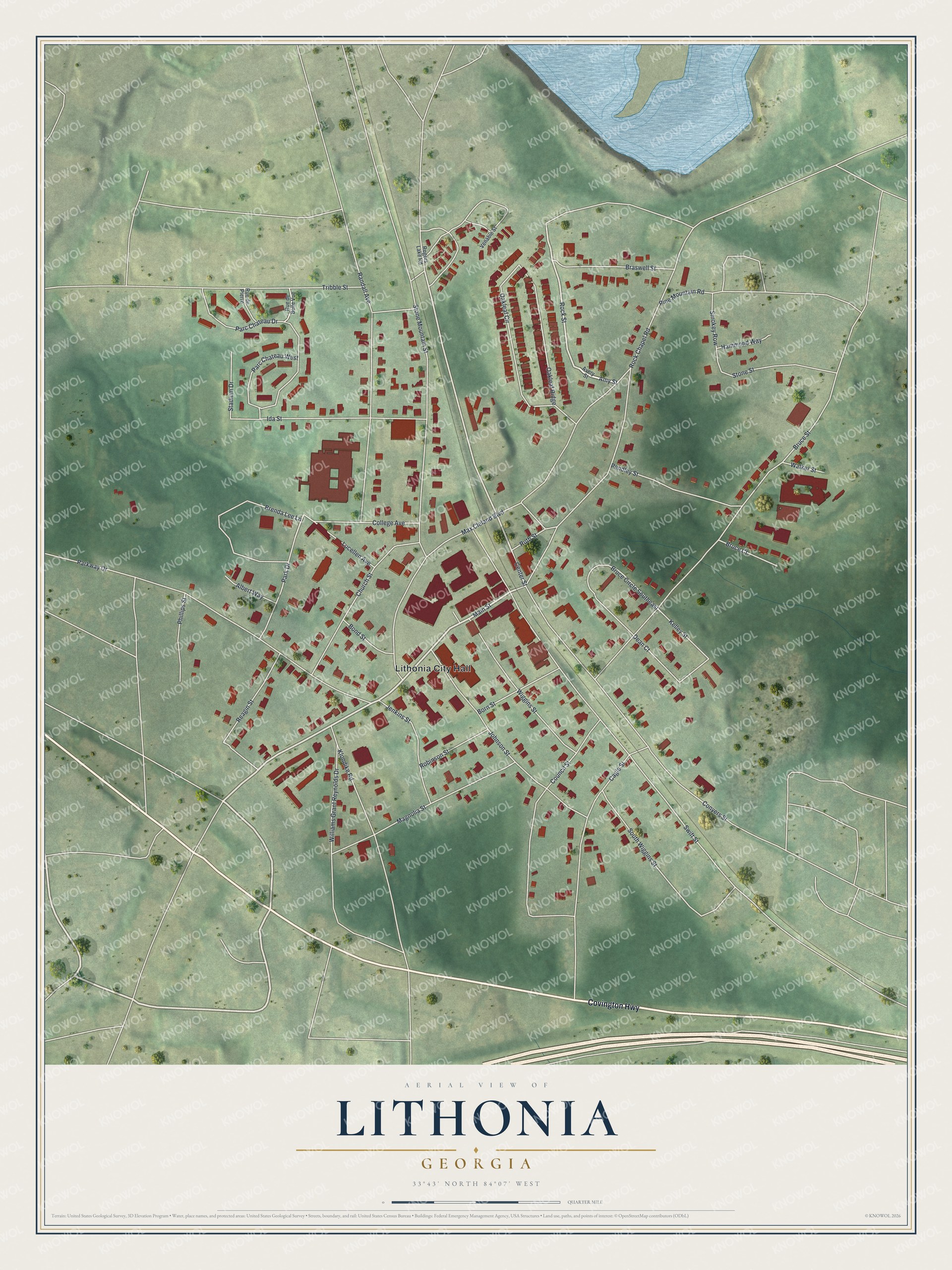
This beautifully detailed map of Lithonia, Georgia was created in 2026 using aerial imagery combined with modern topographical, census, street and landmark data. It’s a one-of-a-kind view of Lithonia that combines accurate data with a vintage aesthetic. The map shows every building in its true location, many of the roads carry their names, and the shaded topographic relief shows the shape of the land.
Explore an aerial view of Lithonia, Georgia
On the map you’ll find Lithonia City Hall, along with Covington Highway, Main Street, Amy Street, Rock Street, and more. If you look closely you can even find your house accurately drawn in its correct location. Zoom in on the preview to look for yours.
Did You Know?
Lithonia began in 1805 as a small crossroads where farmers settled. Its name comes from the Greek word for stone and means town of stone. The Atlanta Augusta Railroad arrived in 1845. After that, granite quarrying around the town grew into a thriving industry.
Take a closer look at the Lithonia map
Names on this map
These names are printed on this map.
Places: Lithonia City Hall.
Streets and roads: Covington Highway, Main Street, Amy Street, Rock Street, Center Street, College Avenue, Bruce Street, Max Cleland Boulevard, Swift Street, Rock Chapel Road, Parkway Drive, Stone Mountain Street.
More street names, A to Z
Albert Way, Avery Street, Bond Street, Born Street, Braswell Street, Brenda Lee Lane, Bruce Circle Southeast, Bruce Court, Cagle Street, Church Street, Conyers Street, Council Street, Dean Court, Hammond Way, Ida Street, Jenkins Street, Johnson Street, Kelley Street, Klondike Road, Lucellen Avenue, Magnolia Street, Oakleaf Circle, Oakleaf Ridge, Parc Chateau Drive, Parc Chateau West, Park Drive, Pendley Street, Phillips Street, Pine Mountain Road, Randall Avenue, Reagin Street, Robinson Street, Rogers Lake Road, Rue de Belle Vue, Rue de Pierre, Ruth Street, Smokey Row, South Wiggins Street, Stadium Drive, Stone Street, Tribble Street, Venable Street, Walker Street, Wiggins Street, Williams Grant Reynolds Drive.
See it on a wall
The Lithonia map as a framed print. Swipe for more.


This beautifully detailed map of Lithonia makes an attractive addition to your office, library, or den, and it can even be used to teach children the geography and history of the area. It also makes a great gift for anyone with Lithonia roots. When you’re done exploring, click here to get your copy of the Lithonia map.