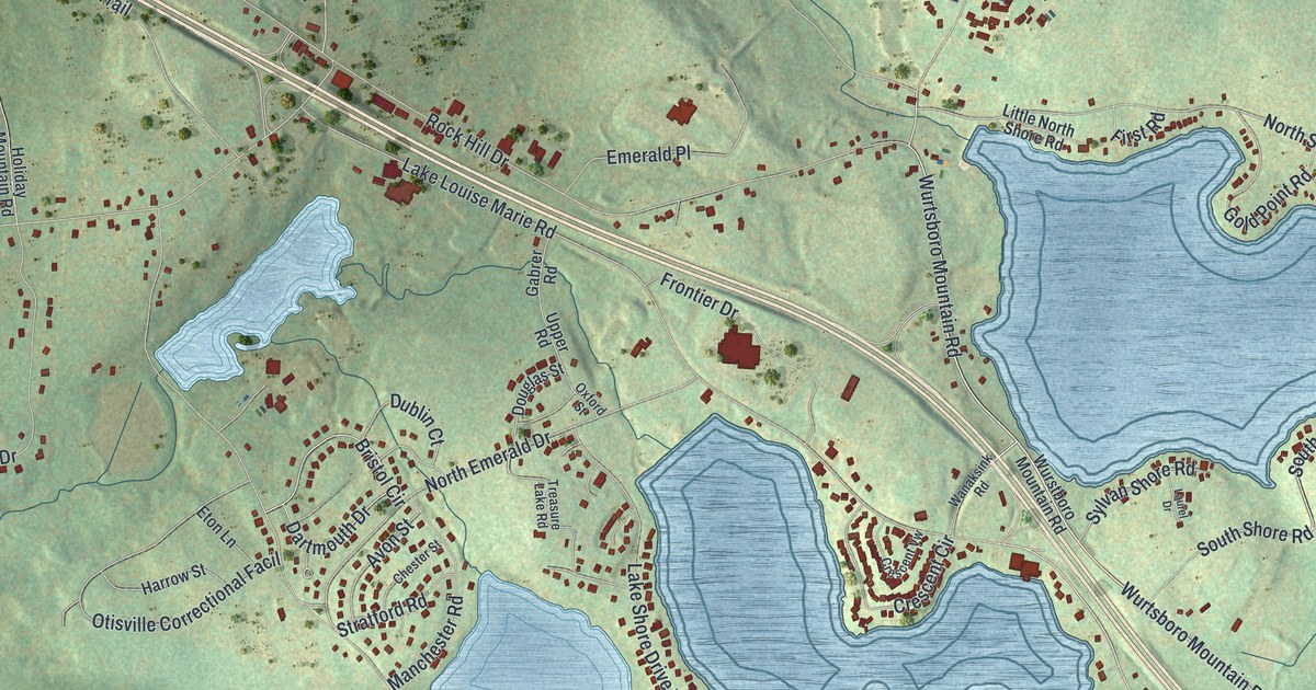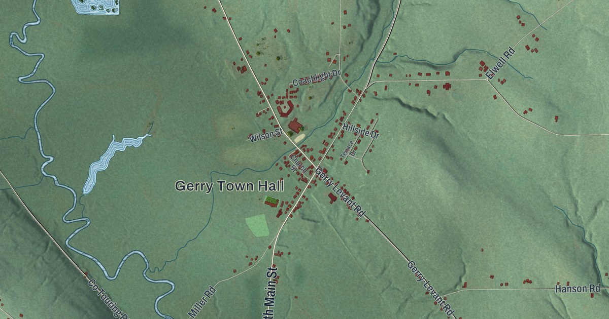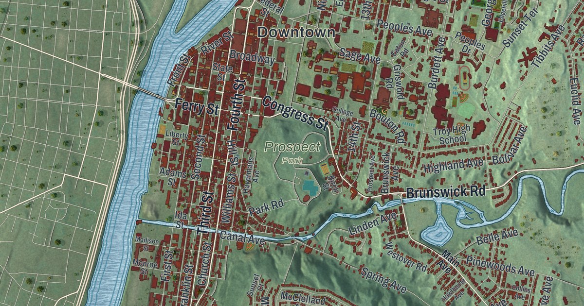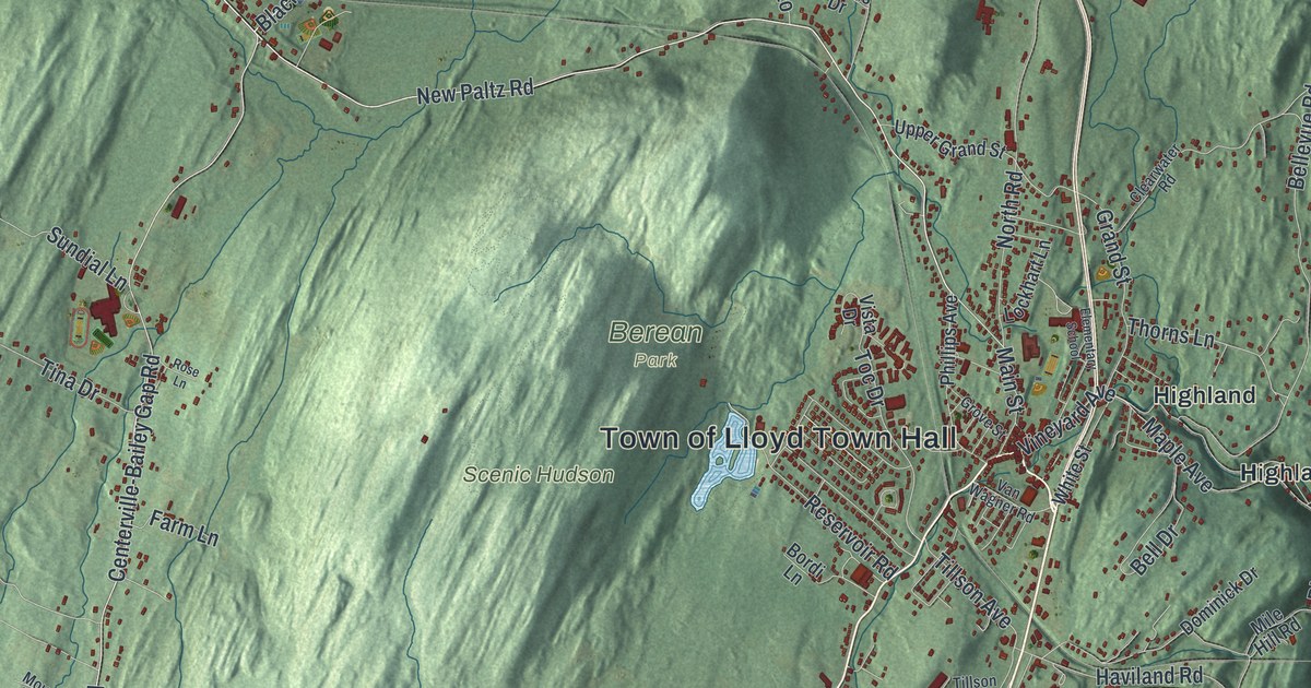
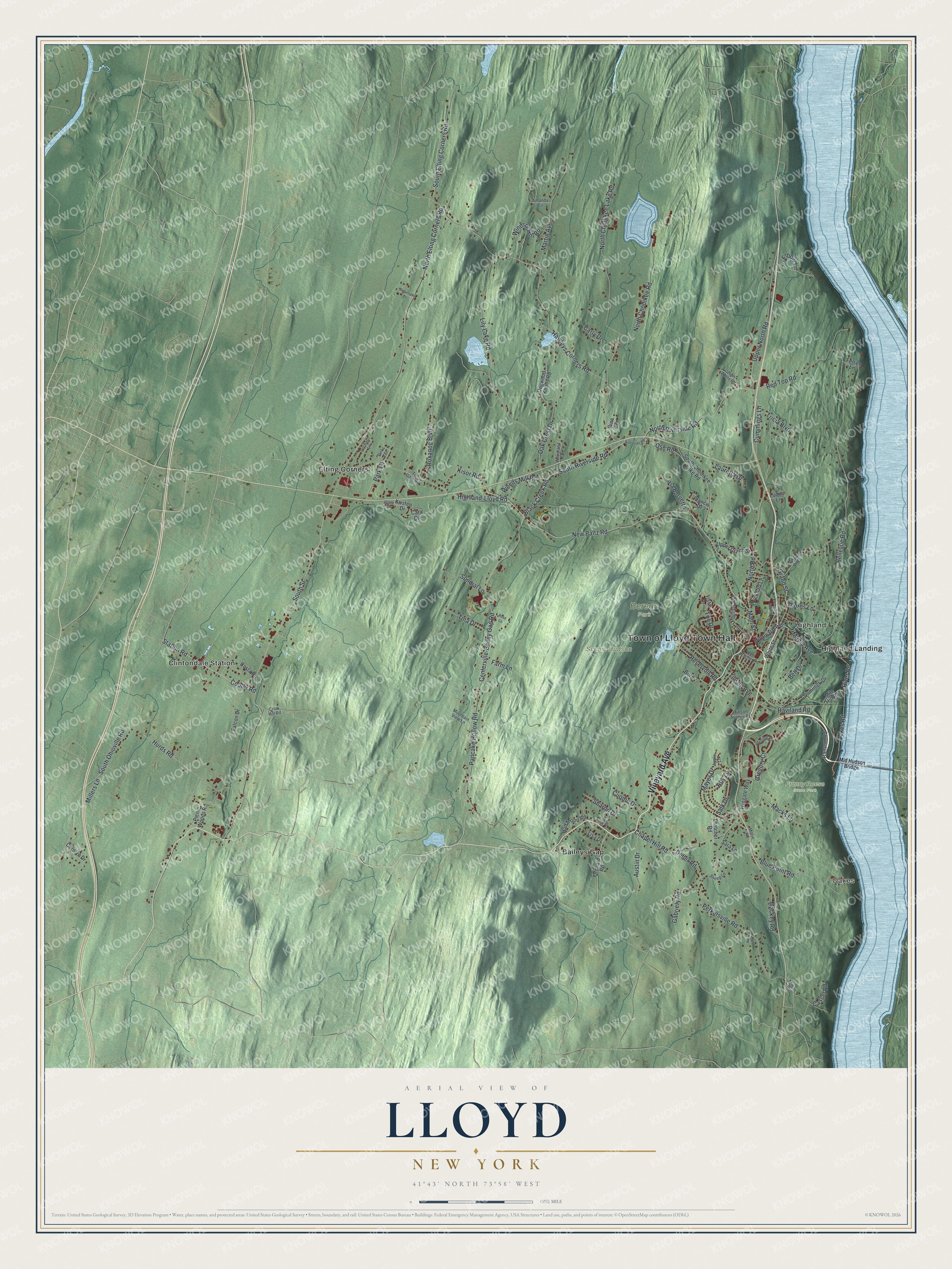
This beautifully detailed map of Lloyd, New York was created in 2026 using aerial imagery combined with modern topographical, census, street and landmark data. It’s a one-of-a-kind view of Lloyd that combines accurate data with a vintage aesthetic. The map shows every building in its true location, many of the roads carry their names, and the shaded topographic relief shows the shape of the land.
Explore an aerial view of Lloyd, New York
On the map you’ll find Mid Hudson Bridge, Oakes, Baileys Gap, Clintondale Station, Elting Corners, Highland, Berean Park, and Franny Reese State Park, along with Vineyard Avenue, Highland-Lloyd Road, New Paltz Road, Riverside Road, and more. If you look closely you can even find your house accurately drawn in its correct location. Zoom in on the preview to look for yours.
Take a closer look at the Lloyd map
Names on this map
These names are printed on this map.
Places: Town of Lloyd Town Hall, Oakes, Berean Park, Franny Reese State Park, Scenic Hudson, Baileys Gap, Clintondale Station, Elting Corners, Highland and Highland Landing.
Streets and roads: Vineyard Avenue, Highland-Lloyd Road, New Paltz Road, South Riverside Road, Cooler Road, Chapel Hill Road, River Road, Black Creek Road, Pancake Hollow Road, Hurds Road, North Road, Maple Avenue.
More street names, A to Z
Amanda Circle, Apple Lane, Austin Drive, Bell Drive, Bellevue Road, Blue Point Road, Bordi Lane, Cara Circle, Carly Drive, Carolyn Drive, Cassel Road, Centerville-Bailey Gap Road, Clearwater Road, Costa Road, Crow Hill Road, Cummings Lane, Cuomo Drive, Cusa Drive, Deller Road, Dirks Terrace, Dogwood Knolls Road, Dominick Drive, Elbow Lane, Elementary School, Falcon Drive, Farm Lane, Felsen Lane, Francis Drive, Gabriety Road, Grand Street, Gregory Court, Grove Street, Half Moon Road, Haviland Road, Hawleys Corners Road, John White Road, Kisor Road, Kristen Drive, Lauretta Drive, Lily Lake Road, Lisa Drive, Lockhart Lane, Lumen Lane, Mackey Road, Macks Lane, Main Street, Marie Road, Martin Avenue, Mayer Drive, Mid Hudson Bridge, Mile Hill Road, Millers Lane, Milton Road, Mountain View Lane, North Chodikee Lake Road, North Chodikee Road, North Elting Corners Road, North Riverside Road, Oak Crest Drive, Oakes Road, Orchard Lane, Orchard Road, Ose Road, Park Lane, Perkinsville Road, Phillips Avenue, Picnic Woods Road, Pine Terrace, Ransom Road, Red Top Road, Reservoir Road, Riverside Road, Robinson Lane, Rose Drive, Rose Lane, Roxanne Boulevard, Roy Lane, Salk Drive, Sara Lane, Sharon Drive, Sheep Lane, South Chodikee Lake Road, South Elting Corners Road, South Ohioville Road, South Street, Station Road, Sterling Place, Sundial Lane, Thatcher Road, Thorns Lane, Tillson Avenue, Tillson Avenue Extension, Tina Drive, Toc Drive, Toll Gate Road, Tricia Boulevard, Upper Grand Street, Upper North Road, Van Wagner Road, Via Borgetto, View Place, Vista Drive, Weeds Mill Road, White Street, Windsor Hill Road, Wingate Way, Woodland Drive.
See it on a wall
The Lloyd map as a framed print. Swipe for more.


This beautifully detailed map of Lloyd makes an attractive addition to your office, library, or den, and it can even be used to teach children the geography and history of the area. It also makes a great gift for anyone who grew up in Lloyd or moved away. When you’re done exploring, click here to get your copy of the Lloyd map.