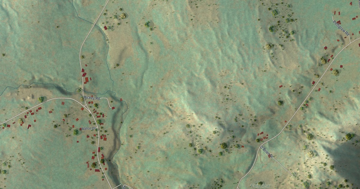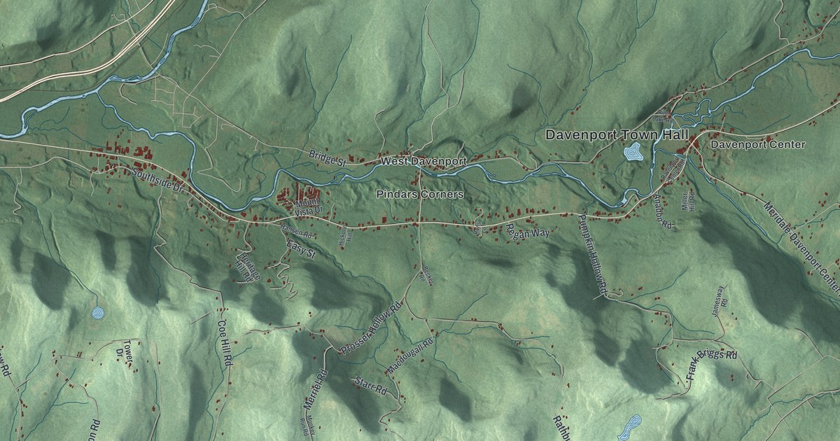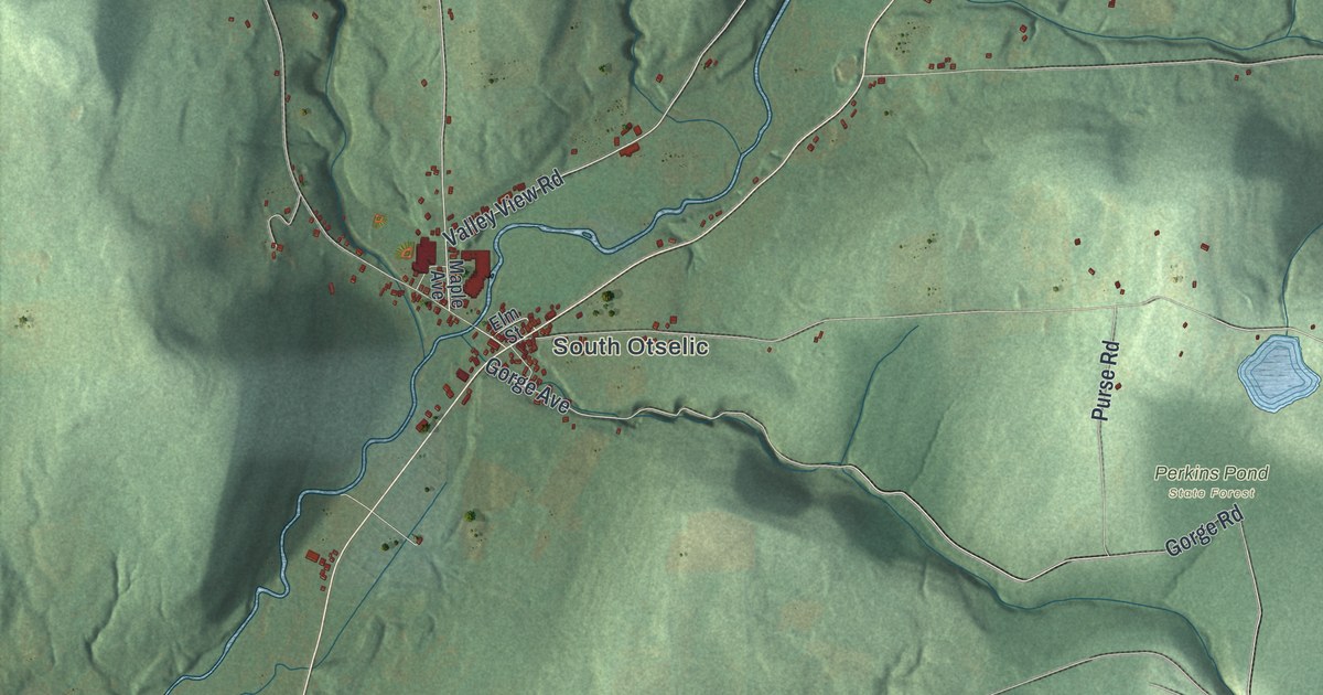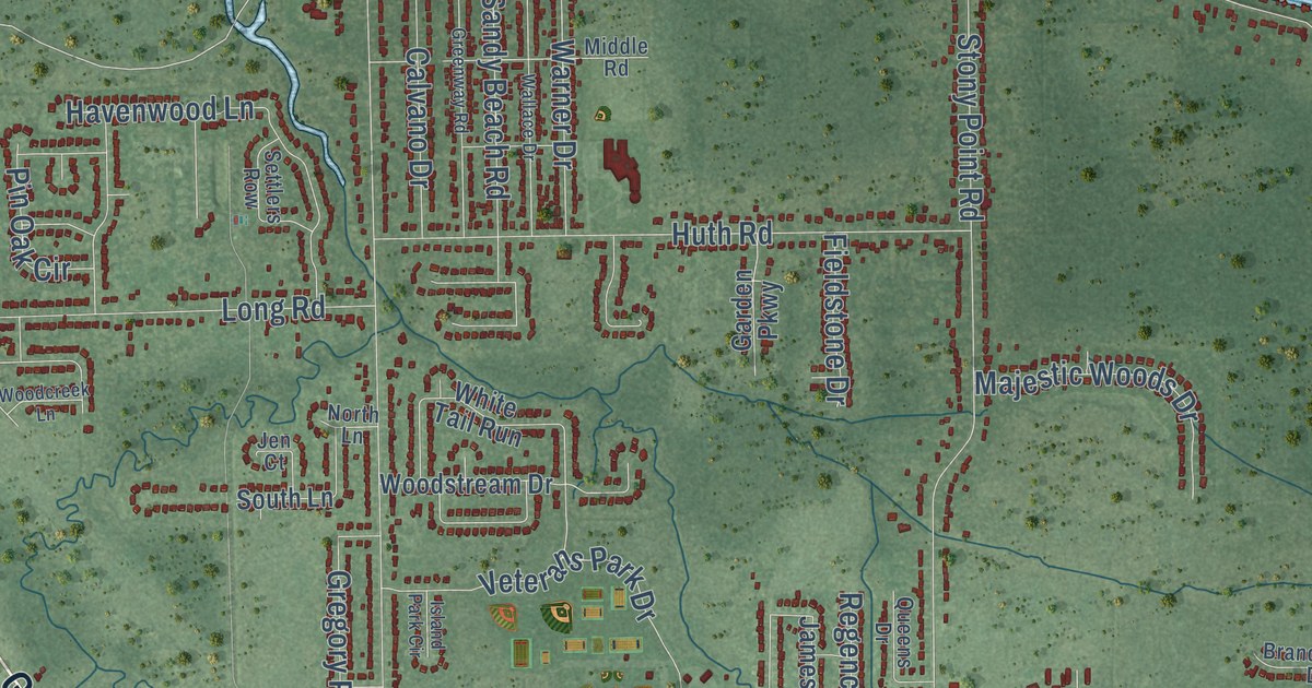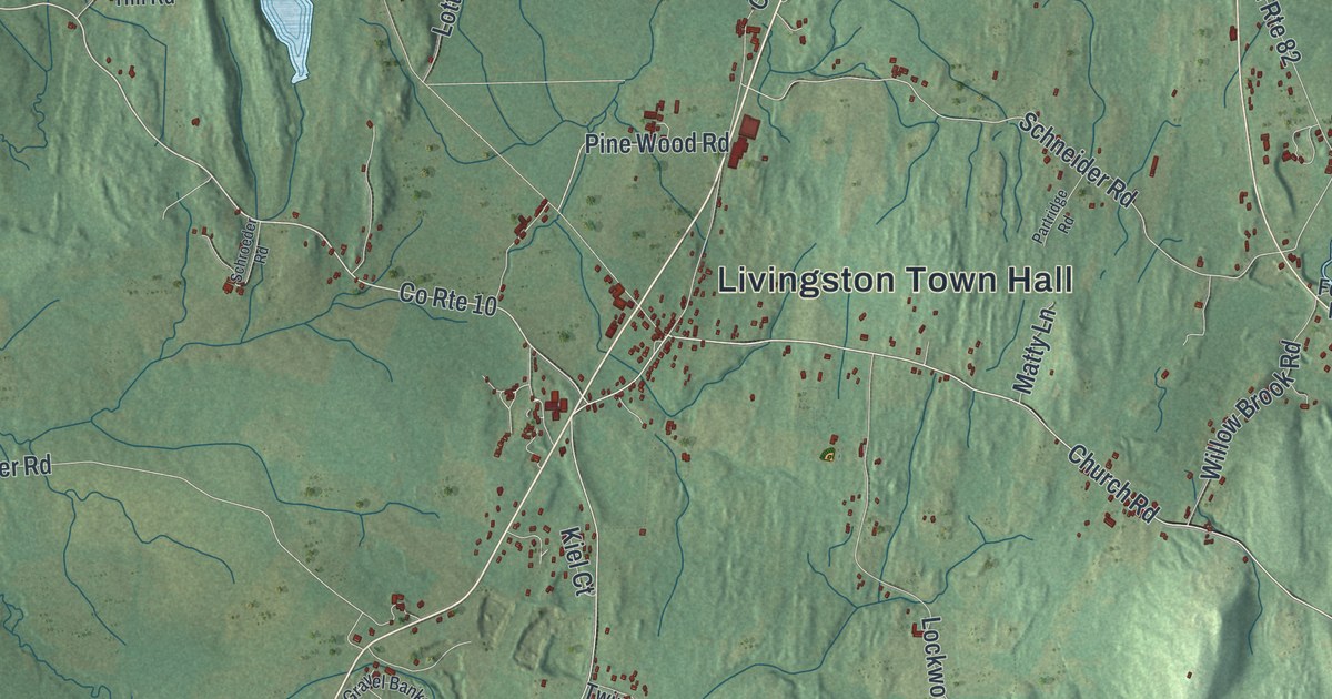
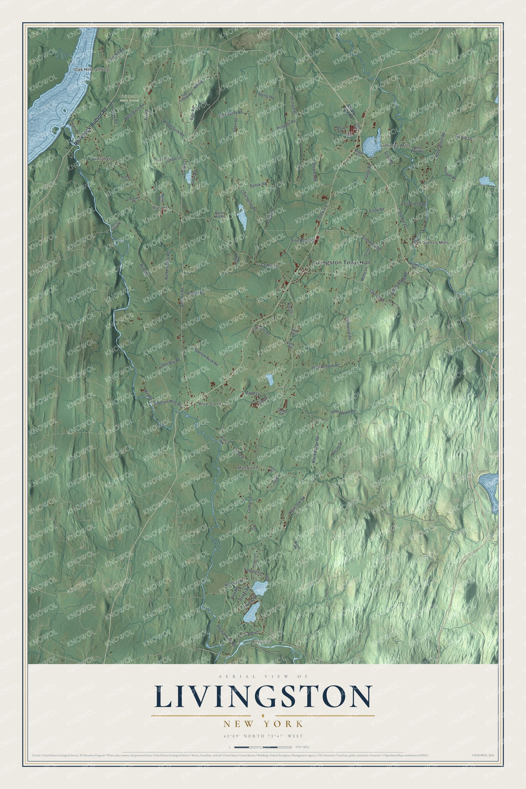
This beautifully detailed map of Livingston, New York was created in 2026 using aerial imagery combined with modern topographical, census, street and landmark data. It’s a one-of-a-kind view of Livingston that combines accurate data with a vintage aesthetic. The map shows every building in its true location, many of the roads carry their names, and the shaded topographic relief shows the shape of the land.
Explore an aerial view of Livingston, New York
On the map you’ll find Livingston Town Hall, Oak Hill Landing, Elizaville, Blue Store, Burden, and Glenco Mills, along with Rhinebeck-Hudson Road, Albany Post Road, White Birch Road, Water Street Road, and more. If you look closely you can even find your house accurately drawn in its correct location. Zoom in on the preview to look for yours.
Did You Know?
In 1686 Robert Livingston received a land grant for his manor here. Palatine Germans were settled on the land in 1710. The region became a district in 1772. Livingston was founded in 1788 as one of the county’s original towns.
Take a closer look at the Livingston map
Names on this map
These names are printed on this map.
Places: Livingston Town Hall, Oak Hill Landing, Elizaville, Livingston State Forest, Blue Store, Burden, Glenco Mills, Linlithgo, Linlithgo Mills and Manorton.
Streets and roads: Rhinebeck-Hudson Road, County Route 10, White Birch Road, County Route 12, County Route 2, County Route 19, Water Street Road, Schneider Road, Deer Haven Road, Blue Hill Road, County Route 31, Wire Road.
More street names, A to Z
Albany Post Road, Bacon Drive, Bells Pond Road, Bingham Mills Road, Black Bridge Road, Blue Valley Road, Cedar Lane, Cemetery Road, Church Road, Clearview Road, Cold Spring Road, County Route 8, Dales Bridge Road, Danski Road, Eger Road, Elm Street, Estok Road, Feller Road, Fix Road, Fox Creek Road, Gravel Banks Road, Hamm Road, Hapeman Road, Highland Avenue, Hill Road, Hollow Road, John Avenue, John Bay Road, John Street, Kiel Court, Klibar Road, Lasher Drive, Lockwood Road, Lotta Lane, Loyola Road, Lynk Road, Mambert Road, Maple Lane, Marlin Hill Road, Matty Lane, Meiner Road, Memory Lane, Miles Road, Miller Road, Mill Road, Mountainview Drive, Oak, Oak Hill Road, Old Route 9, Old Route 82, Orchard Road, Parker Road, Partridge Road, Pine Road, Pine Wood Road, Platner Road, Pleasantvale Road, Prilipper Road, Proper Road, Rosies Lane, Schroeder Road, Scott Road, Scudderhook Road, Short Road, Sparrow Bush Road, Spring Road, Station Road, Stepin Road, Stickles Road, Ten Broeck Road, Tom Thumb Road, Twin Drive, Vosburg Road, Walkers Mills Road, Weaver Road, White Oak Road, Willow Brook Road, Woodchuck Road.
See it on a wall
The Livingston map as a framed print. Swipe for more.


This beautifully detailed map of Livingston makes an attractive addition to your office, library, or den, and it can even be used to teach children the geography and history of the area. It also makes a great gift for someone who left Livingston and still calls it home. When you’re done exploring, click here to get your copy of the Livingston map.