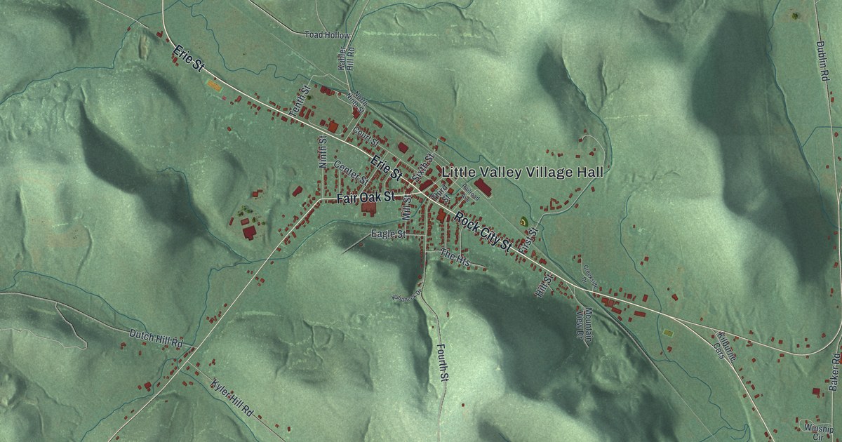
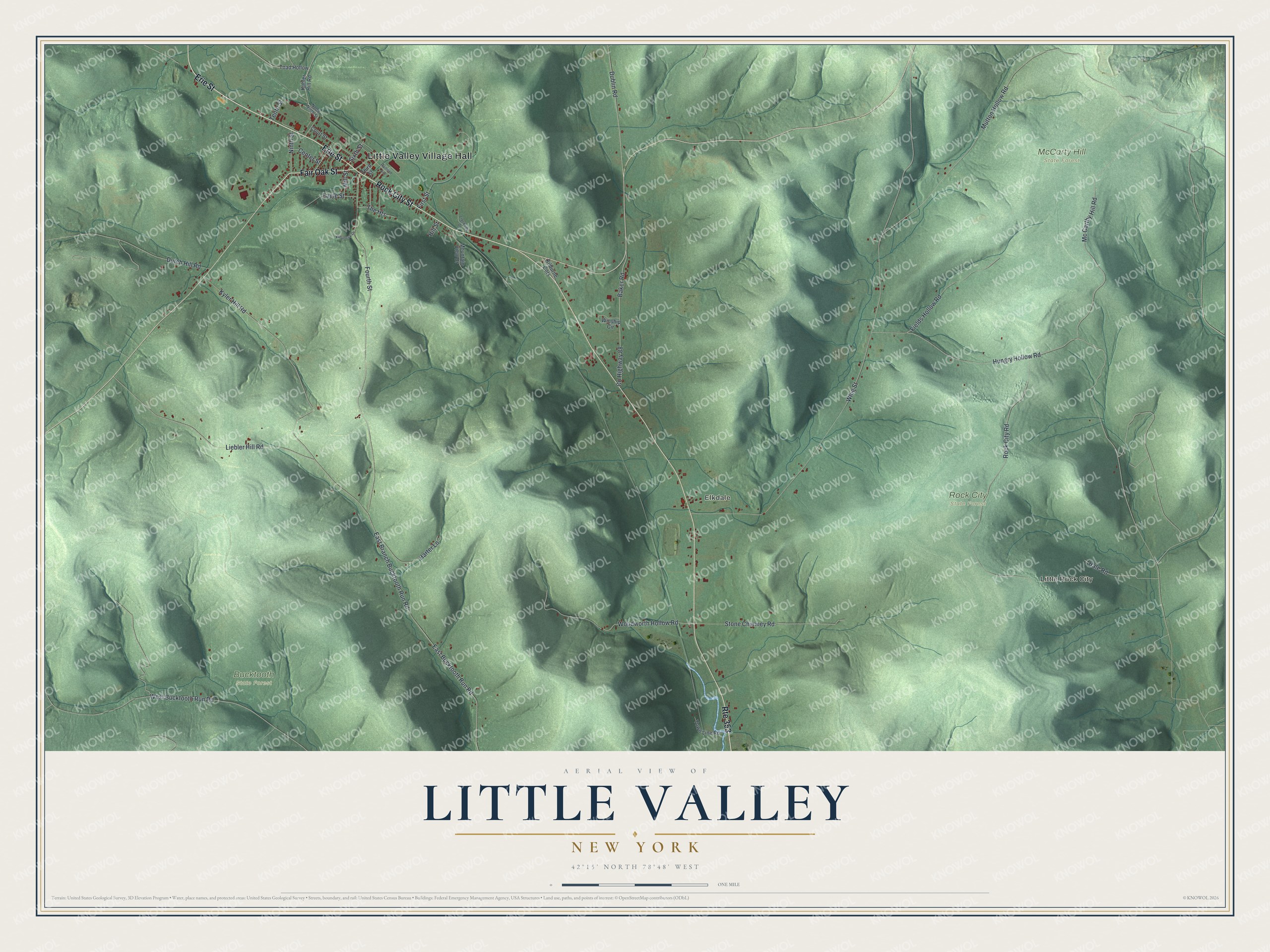
This beautifully detailed map of Little Valley, New York was created in 2026 using aerial imagery combined with modern topographical, census, street and landmark data. It’s a one-of-a-kind view of Little Valley that combines accurate data with a vintage aesthetic. The map shows every building in its true location, many of the roads carry their names, and the shaded topographic relief shows the shape of the land.
Explore an aerial view of Little Valley, New York
On the map you’ll find Little Valley Village Hall, Little Rock City, Elkdale, Bucktooth State Forest, McCarty Hill State Forest, and Rock City State Forest, along with Erie Street, Rock City Street, Fair Oak Street, Branch Bucktooth Run Road, and more. If you look closely you can even find your house accurately drawn in its correct location. Zoom in on the preview to look for yours.
Did You Know?
Settlers first came around 1808 but fled the frontier fighting of the War of 1812. They returned in 1816 once peace came. The town was formed in 1818, the same year Great Valley split off nearby. The two neighbors took their names from their similar valleys, one smaller than the other.
Take a closer look at the Little Valley map
Names on this map
These names are printed on this map.
Places: Little Valley Village Hall, Little Rock City, Elkdale, Bucktooth State Forest, McCarty Hill State Forest and Rock City State Forest.
Streets and roads: Erie Street, Rock City Street, Fair Oak Street, Route 353, East Branch Bucktooth Run Road, Woodworth Hollow Road, Whig Street, Hungry Hollow Road, Fourth Street, Rock City Road, Mutton Hollow Road, Kyler Hill Road.
More street names, A to Z
Baker Road, Center Street, County Highway 88, Court Street, Creekside Drive, Dublin Road, Dutch Hill Road, Eagle Street, East Bucktooth Run Road, Fields Hollow Road, First Street, Hale Road, Harter Lane, Hill Street, Kahler Hill Road, Kilburne Cors, Kuhaneck Drive, Liebler Hill Road, Mc Carthy Hill Road, Mill Street, Mountain View Drive, Ninth Street, North Ninth Street, Railroad Avenue, Sixth Street, Stone Chimney Road, Tenth Street, The Heights, Third Street, Toad Hollow, Town Line Road, West Bucktooth Run Road, Winship Circle.
See it on a wall
The Little Valley map as a framed print. Swipe for more.


This beautifully detailed map of Little Valley makes an attractive addition to your office, library, or den, and it can even be used to teach children the geography and history of the area. It also makes a great gift for anyone with Little Valley roots. When you’re done exploring, click here to get your copy of the Little Valley map.