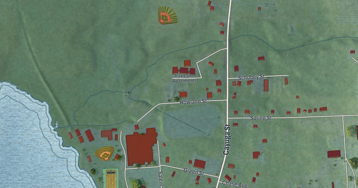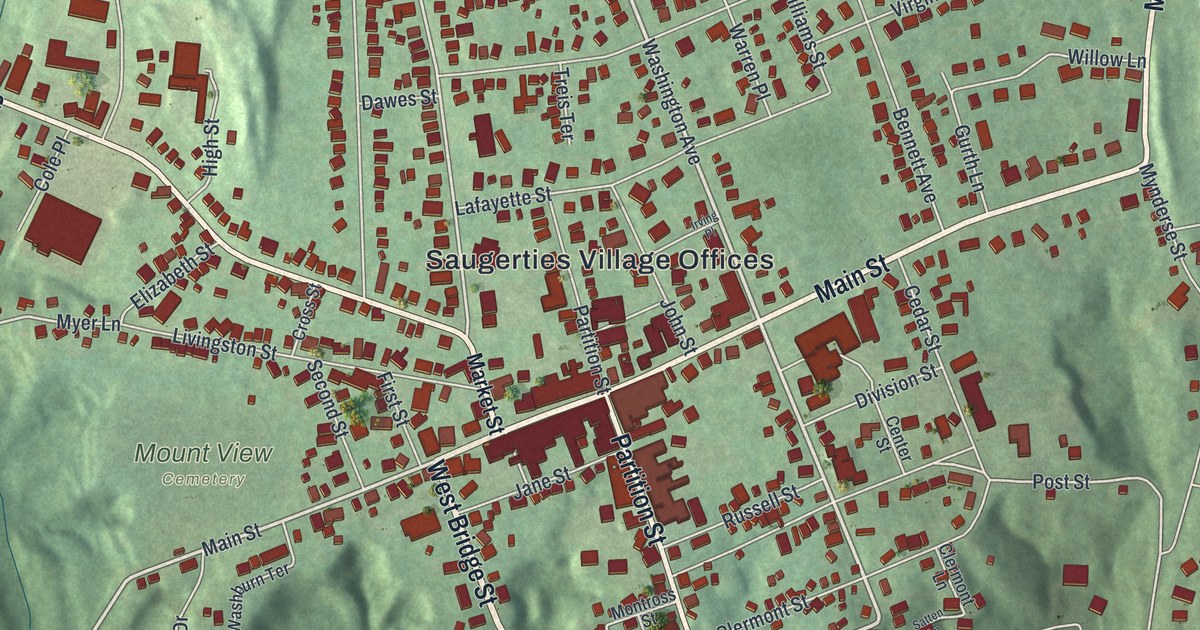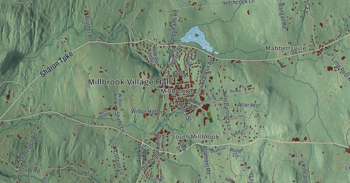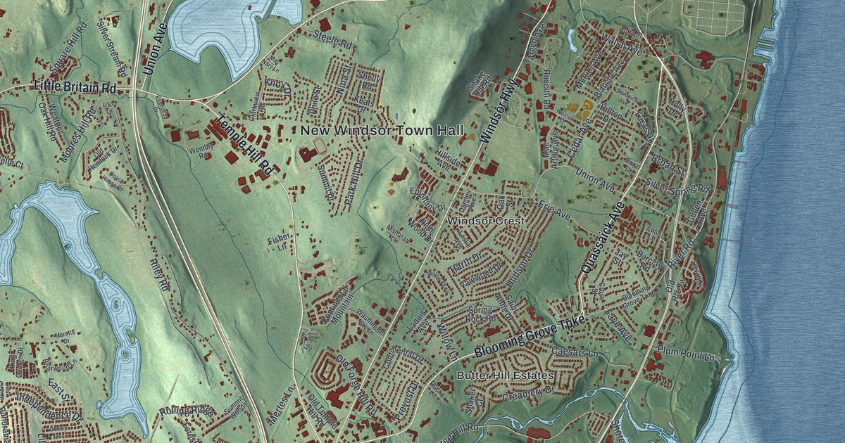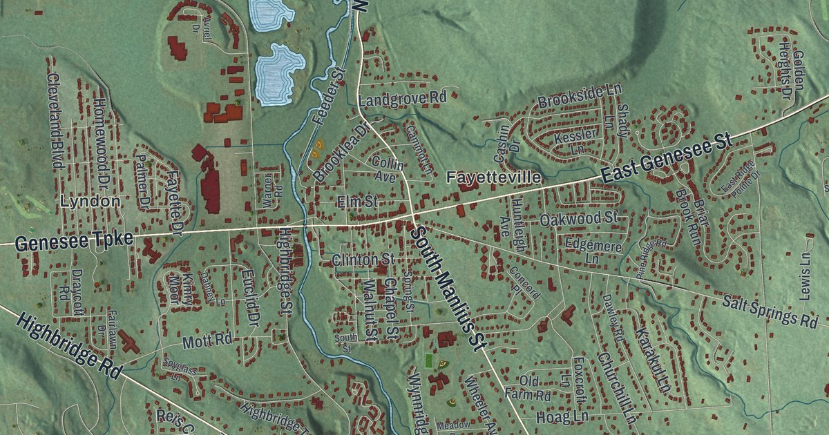
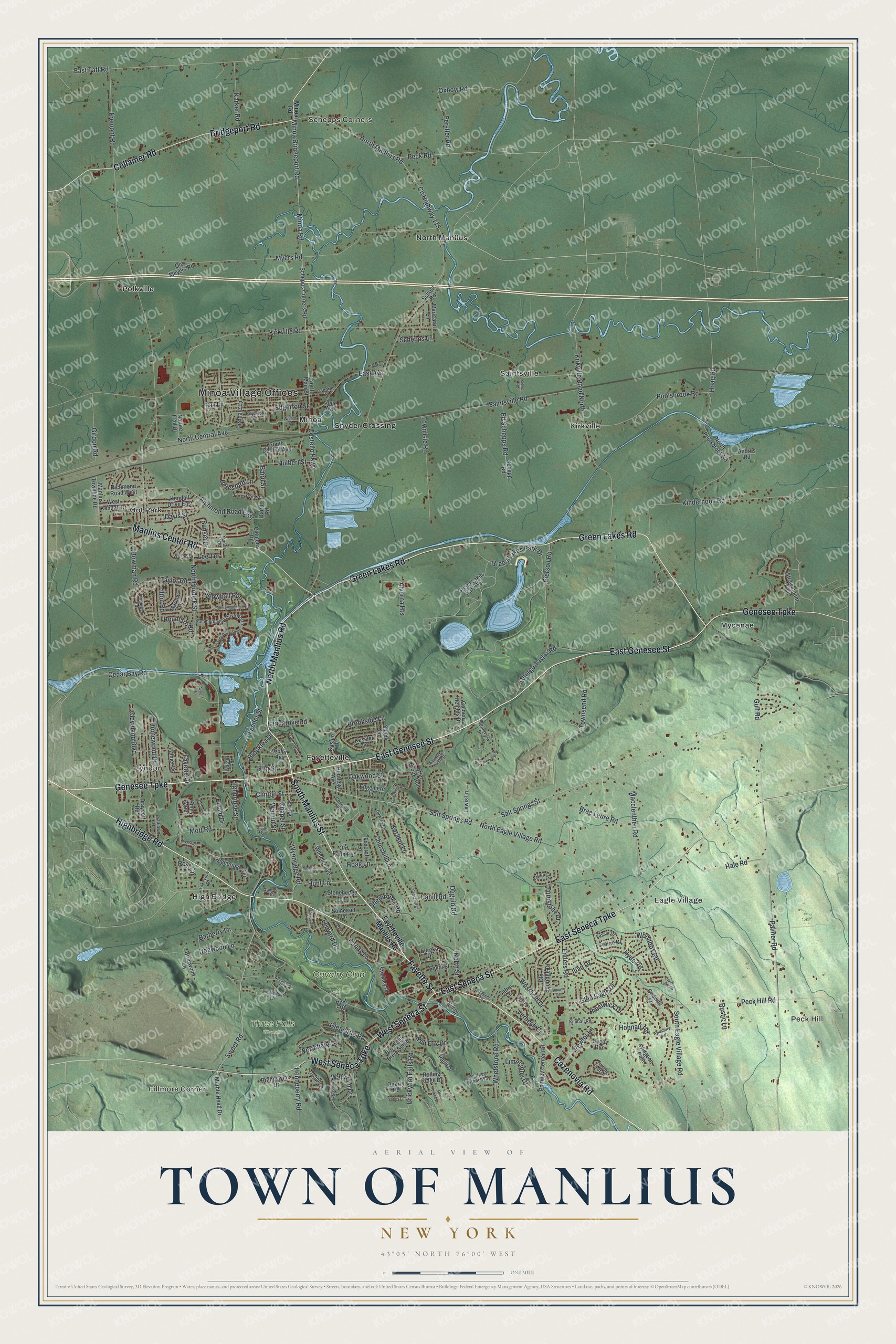
This beautifully detailed map of the Town of Manlius, New York was created in 2026 using aerial imagery combined with modern topographical, census, street and landmark data. It’s a one-of-a-kind view of the Town of Manlius that combines accurate data with a vintage aesthetic. The map shows every building in its true location, many of the roads carry their names, and the shaded topographic relief shows the shape of the land.
Explore an aerial view of the Town of Manlius, New York
On the map you’ll find Minoa Village Offices, Fillmore Corner, Peck Hill, Schepps Corners, Eagle Village, and Fayetteville, along with Genesee Street, Green Lakes Road, Manlius Road, Cazenovia Road, and more. If you look closely you can even find your house accurately drawn in its correct location. Zoom in on the preview to look for yours.
Did You Know?
Manlius was home to the Manlius Military Academy, one of the top boys’ schools in the country. The Reverend Frederic C. Huntington, Episcopal bishop of central New York, founded it in 1869. It first opened as St. John’s Military School. That’s from the 1940 WPA guide to New York.
Take a closer look at the Town of Manlius map
Names on this map
These names are printed on this map.
Places: Minoa Village Offices, Fillmore Corner, Peck Hill, Schepps Corners, Three Falls Woods, Eagle Village, Fayetteville, High Bridge, Kirkville, Lyndon, Minoa, Mycenae, North Manlius, Oot Park, Polkville, Saintsville, Snyder Crossing and Cavalry Club.
Streets and roads: East Genesee Street, Green Lakes Road, North Manlius Road, Cazenovia Road, South Manlius Street, Fayette Street, Highbridge Road, West Seneca Street, Genesee Turnpike, East Seneca Street, West Seneca Turnpike, East Seneca Turnpike.
More street names, A to Z
Academy Street, Alverna Heights, Andrus Road, Armstrong Road, Avriel Drive, Aylesbury Path, Baird Road, Baird Street, Barberry Lane, Beresford Lane, Blarney Stone Way, Bowman Road, Brae Leure Road, Brandywine Drive, Brewer Road, Briar Brook Run, Briarwood Lane, Brickyard Falls Road, Bridgeport Road, Brookhill Drive South, Brooklea Drive, Brookside Lane, Cahill Road, Cammot Lane, Candy Lane, Cashin Drive, Cedar Bay Road, Chapel Street, Churchill Court, Churchill Lane, Clark Lane, Clemons Road, Cleveland Boulevard, Clinton Street, Collamer Road, Collin Avenue, Concord Place, Costello Parkway, County Highway 115, Craine Drive, Crane Landing, Dabney Lane, Davis Street, Dawley Road, Decoy Run, Dogwood Lane, Draycott Road, Duguid Road, Duvall Circle, East Avenue, East Ridge Pointe Drive, East Taft Road, Edgemere Lane, Edgerton Street, Ed Schepps Road, Elm Street, Enders Road, Euclid Drive, Eureka Drive, Fairlawn Drive, Farley Lane, Fayette Drive, Fayetteville Manlius Road, Fay Lane, Feeder Street, Ferndale Lane, Ferstler Road, Forest View Lane, Foxcroft Lane, Fremont Road, Gadwall Lane, George Taylor Road, Girdon Road, Glencliffe Road, Glen Eagle Drive, Golden Heights Drive, Green Lakes Park Drive, Green Lakes Park Terrace, Gulf Road, Hadley Lane, Hale Road, Henneberry Road, Highbridge Street, Highbridge Terrace, Hoag Lane, Hoag Road, Hobnail Road, Homewood Drive, Hulbert Street, Hunt Lane, Huntleigh Avenue, Hyde Road, Iliad Drive, Innsbruck Road, June Avenue, Karakul Lane, Karker Road, Kendall Drive East, Kessler Lane, Kimball Road, Kimry Moor, Kinderhook Road, Kirkville Road, Kirkville Road North, Lakeview Drive, Landgrove Road, Ledyard Drive, Lee Terrace, Lewis Lane, Limberlost Lane, Limestone Drive, Macclenthen Road, Manlius Center Road, Manlius Townline Road, Manor Drive, Marble Head Drive, Maricarol Lane, Marie Drive, Marlow Drive, Meadow Drive, Mill Street, Minoa Bridgeport Road, Minoa Road, Mott Road, Myers Road, Nature Trail Drive, North Burdick Street, North Central Avenue, North Eagle Village Road, Northfield Lane, North Main Street, North Poolsbrook Road, North Street, Oakwood Street, Old Farm Road, Old Meyers Road, Old Sunridge Drive, Osborne Street, Oxbow Road, Palmer Drive, Palmer Road, Pauli Drive, Peck Hill Road, Peck Road, Pewter Lane, Pierson Road, Pine Ridge Road, Pompey Center Road, Poolsbrook Road, Post Road, Prestwick Drive, Quarry Road, Ravine Road, Red Fox Drive, Red Spruce Lane, Reis Circle, Richmond Road East, Richmond Road West, Rolling Ridge Drive, Roumare Road, Royalton Drive, Rustic Lane, Sabre Lane, Saintsville Road, Salt Springs Road, Salt Springs Street, Schepp Road, Schepps Corners Road, Schepps Lane, School Road, Shady Lane, Sherbrooke Road, Smith Street, Snowball Run, Somerset Lane, South Central Avenue, South Eagle Village Road, South Street, Spring Mountain Drive, Spring Street, Springview Drive, Spyglass Lane, Stickley Drive, Stonehedge Lane, Stratus Circle, Strawmount Trail, Summerhaven Drive North, Summerhaven Drive South, Summerview Drive, Sunset Drive, Sweet Road, Swissvale Drive, Taylor Road, Tilton Road, Town Isle Road, Townsend Road, Treetops Circle, Turning Leaf Drive, Turnstone Drive, Vassar Drive, Verbeck Drive, Walnut Street, Waltham Drive, Warner Road, Westfield Drive, West Kendall Drive, Wheeler Avenue, Whetstone Road, Widgeon Path, Willard Street, Wilson Drive, Woodbox Road, Wynnridge Road, Yeaworth Lane.
See it on a wall
The Manlius map as a framed print. Swipe for more.


This beautifully detailed map of the Town of Manlius makes an attractive addition to your office, library, or den, and it can even be used to teach children the geography and history of the area. It also makes a great gift for someone who left the Town of Manlius and still calls it home. When you’re done exploring, click here to get your copy of the Town of Manlius map.