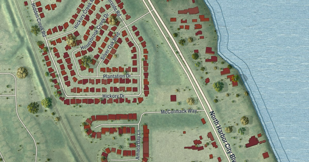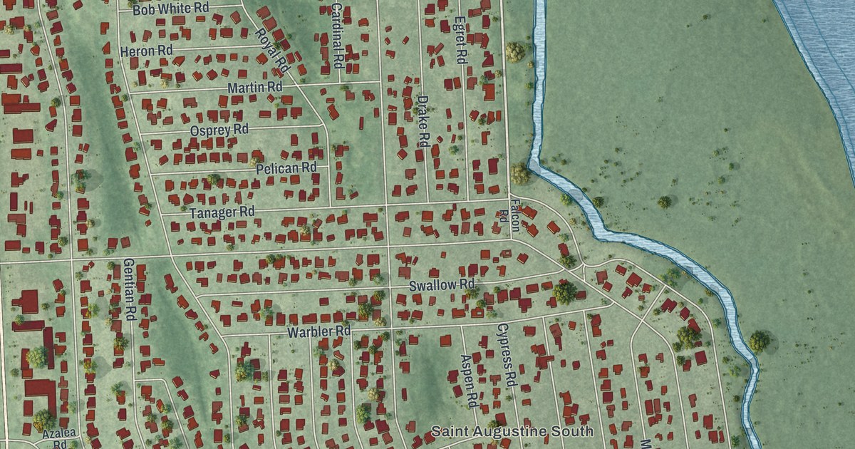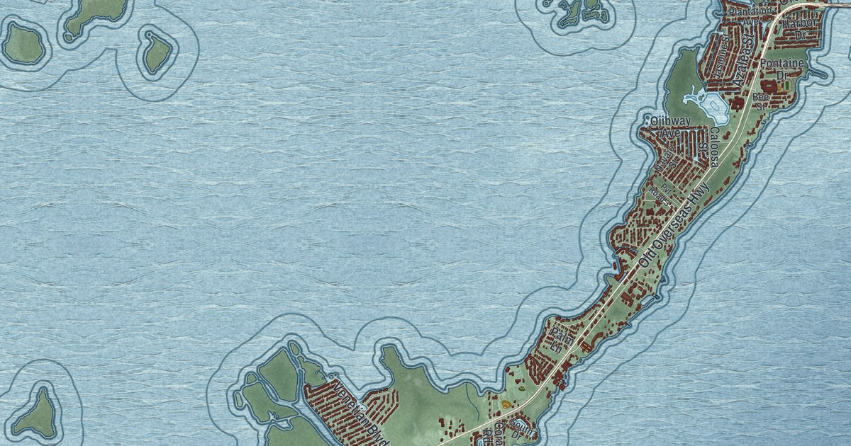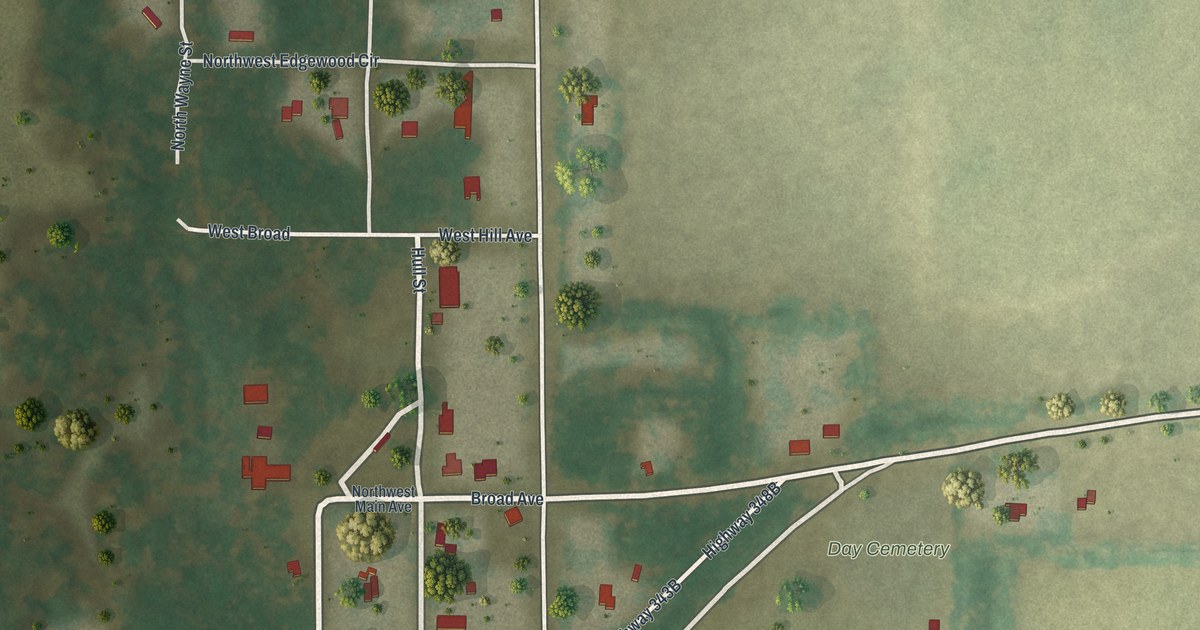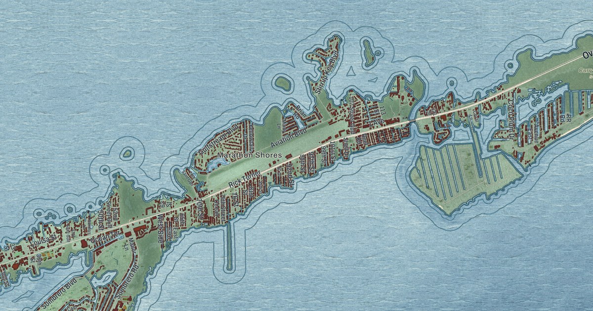
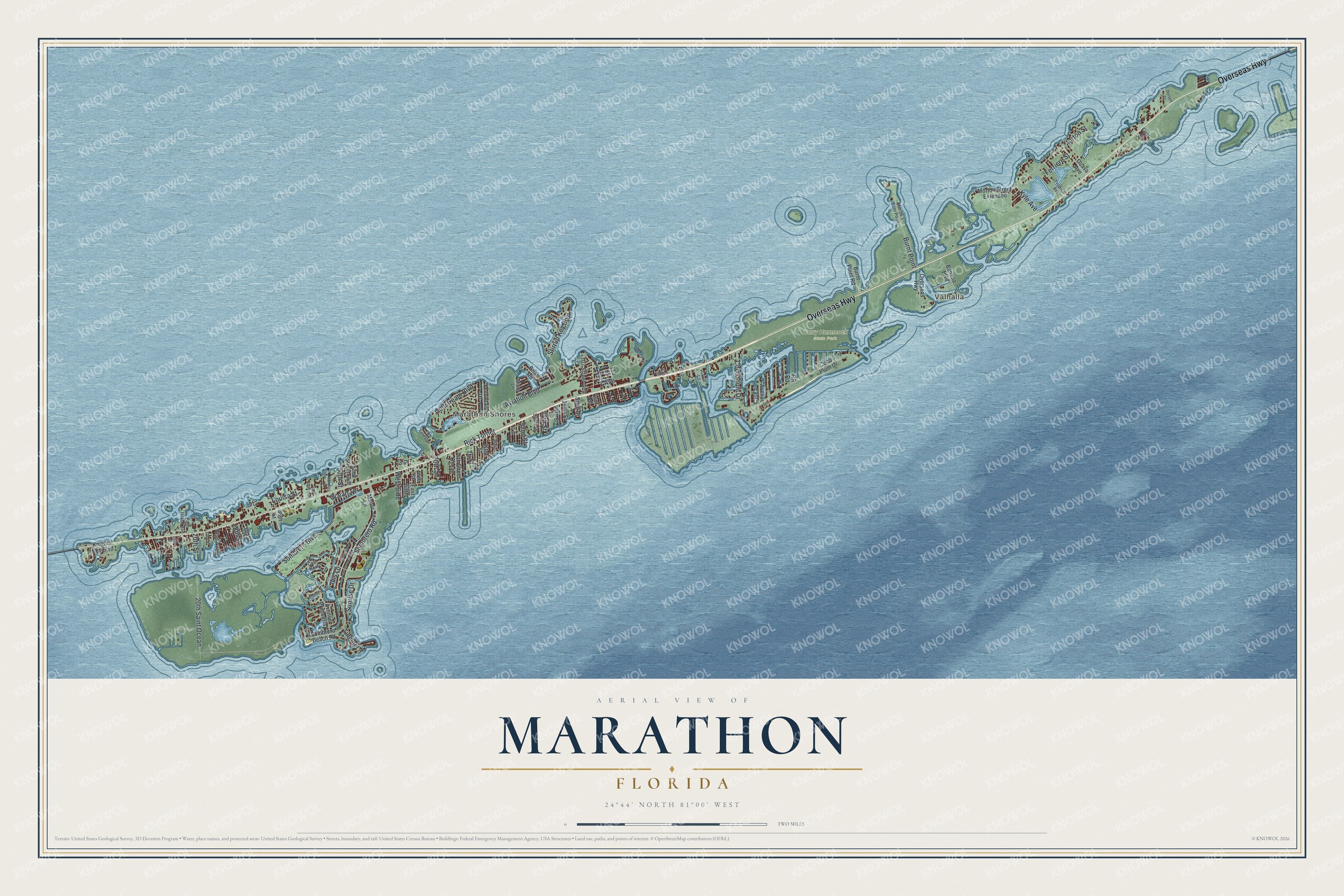
This beautifully detailed map of Marathon, Florida was created in 2026 using aerial imagery combined with modern topographical, census, street and landmark data. It’s a one-of-a-kind view of Marathon that combines accurate data with a vintage aesthetic. The map shows every building in its true location, many of the roads carry their names, and the shaded topographic relief shows the shape of the land.
Explore an aerial view of Marathon, Florida
On the map you’ll find Marathon Shores, Valhalla, Curry Hammock State Park, 20th Saint Ocean, and Rick Turner, along with Overseas Highway, Sombrero Boulevard, Sombrero Road, Ocean Terrace, Aviation Boulevard, 1 Avenue, Coco Plum Drive, and more. If you look closely you can even find your house accurately drawn in its correct location. Zoom in on the preview to look for yours.
Did You Know?
Hurricane Irma made landfall on September 10, 2017, and caused major damage in Marathon. The city was among the first places in the Keys to get relief supplies. Starting September 11, the Air National Guard landed a pair of C-130 cargo planes every two hours.
Take a closer look at the Marathon map
Names on this map
These names are printed on this map.
Places: Marathon Shores, Valhalla and Curry Hammock State Park.
Streets and roads: Overseas Highway, Sombrero Boulevard, Sombrero Road, Ocean Terrace, 20th Saint Ocean, Aviation Boulevard, 1 Avenue, Coco Plum Drive, Rick Turner, Morton Street, Stirrup Key Boulevard, Gulfstream Boulevard.
More street names, A to Z
15th Street, 20th Street, 22nd Street, 28th Street, 30th Street, 33 Street, 36th Street, 43rd Saint Gulf, 50th Street, 52nd Street Gulf, 62 Street, 65th Street, 70th Saint Gulf, 70th Street, 74th Street Ocean, 76 Street, 81st Street, 84th Street, 90 Street, 92nd Street, 95th Street, 97th Street, 99th Street, 101st Street, 107 Street Gulf, 113 Street, 121 Street, Avenue East, Avenue Primceria, Banana Boulevard, Brian Road, Burnt Point, Burnt Point Road, Cam Real, Cll Ensueno, Coca Plum Drive, Coral Lane, Dorsett Drive, East 63rd, Ferriere Street, First Street, Guava Avenue, Ibis Lane, Knights Key Boulevard, Kyle Avenue, Louisa Street, Manor Lane, Mindy Lane, Mm 56.1 Burn Point, Morton Street Extended, Neef Avenue, Palm Island Avenue, Reef Road, RR Road, Sanders Lane, Shell Drive, Sombrero Beach Road, Sunrise Drive, Tingler Lane, Tropical Avenue, West Side, Yellowtail Drive.
See it on a wall
The Marathon map as a framed print. Swipe for more.


This beautifully detailed map of Marathon makes an attractive addition to your office, library, or den, and it can even be used to teach children the geography and history of the area. It also makes a great gift for anyone who grew up in Marathon or moved away. When you’re done exploring, click here to get your copy of the Marathon map.