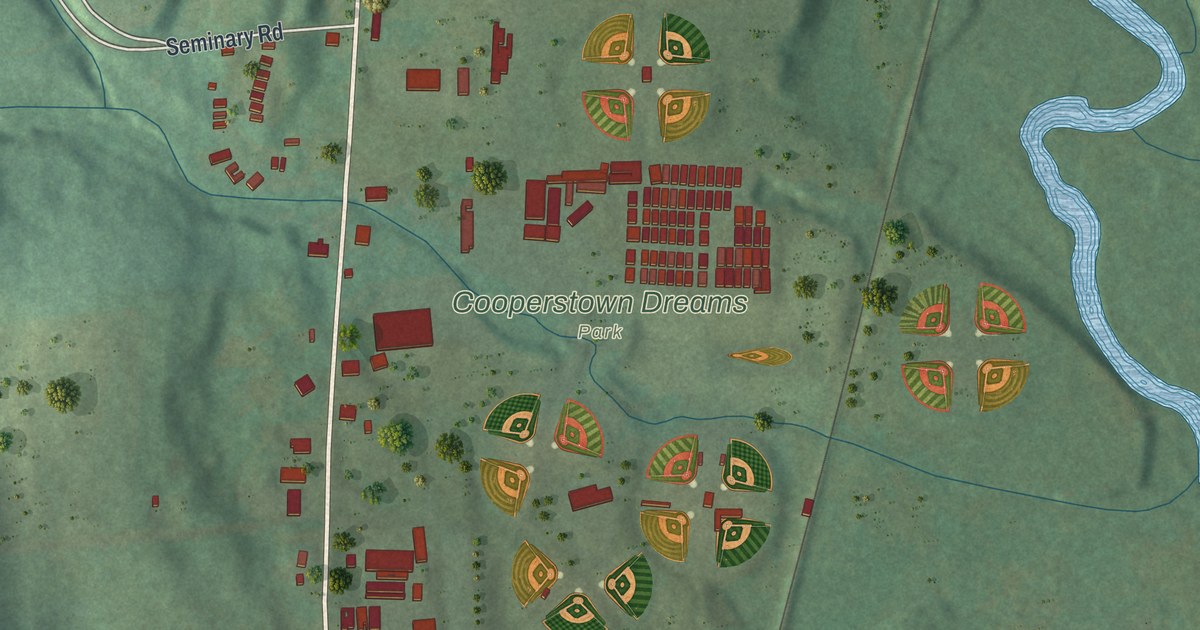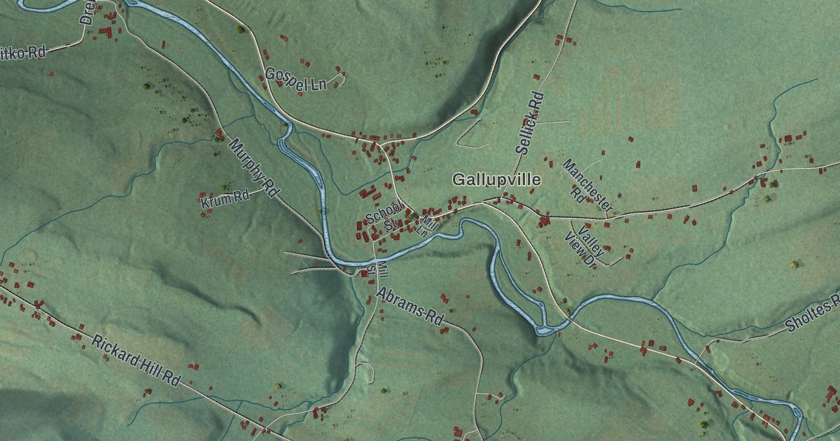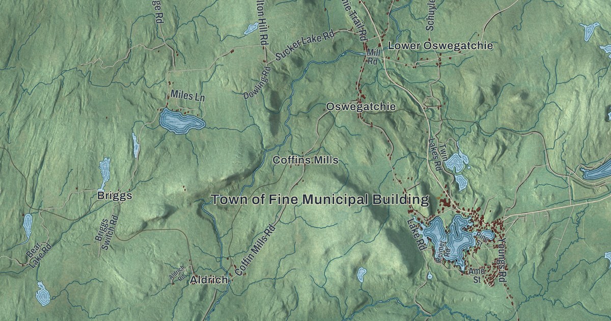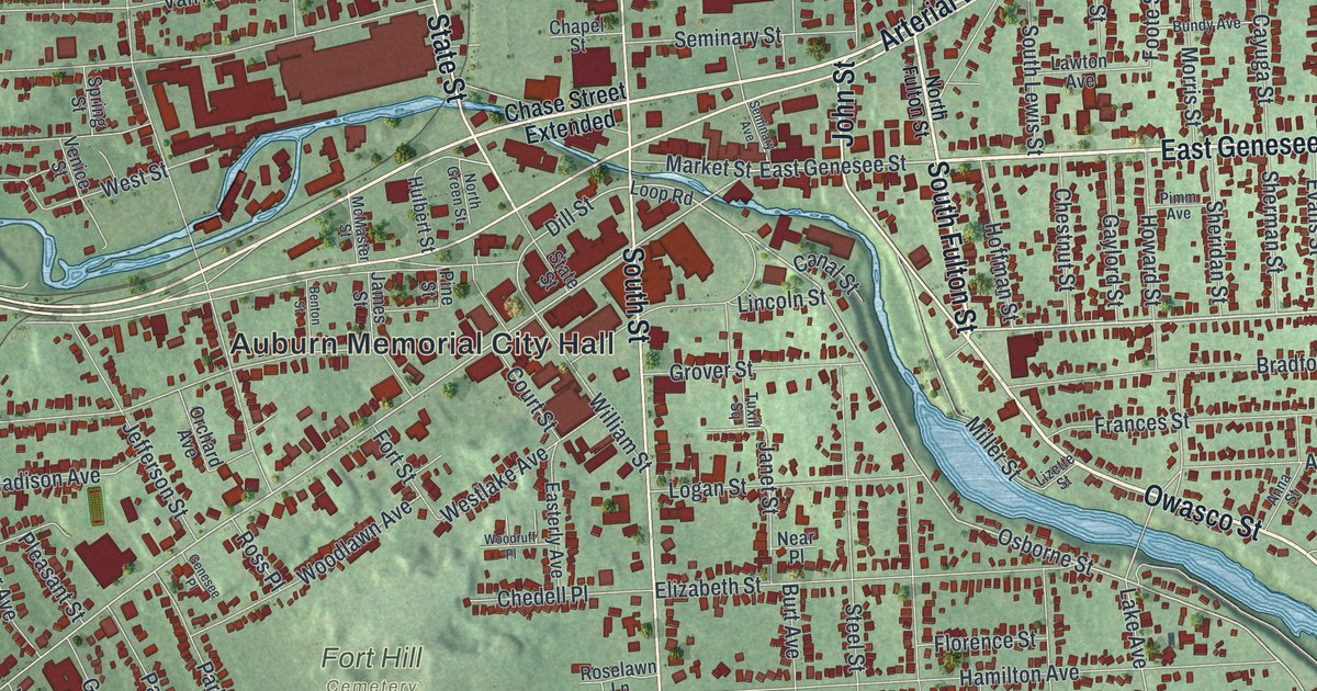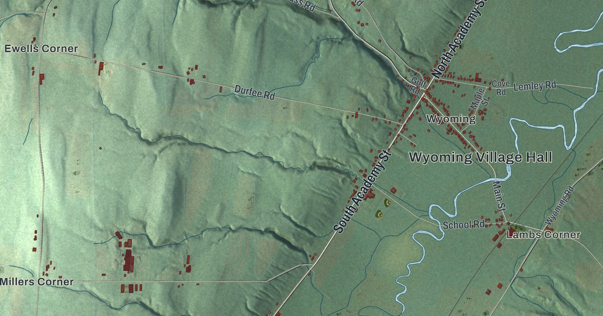
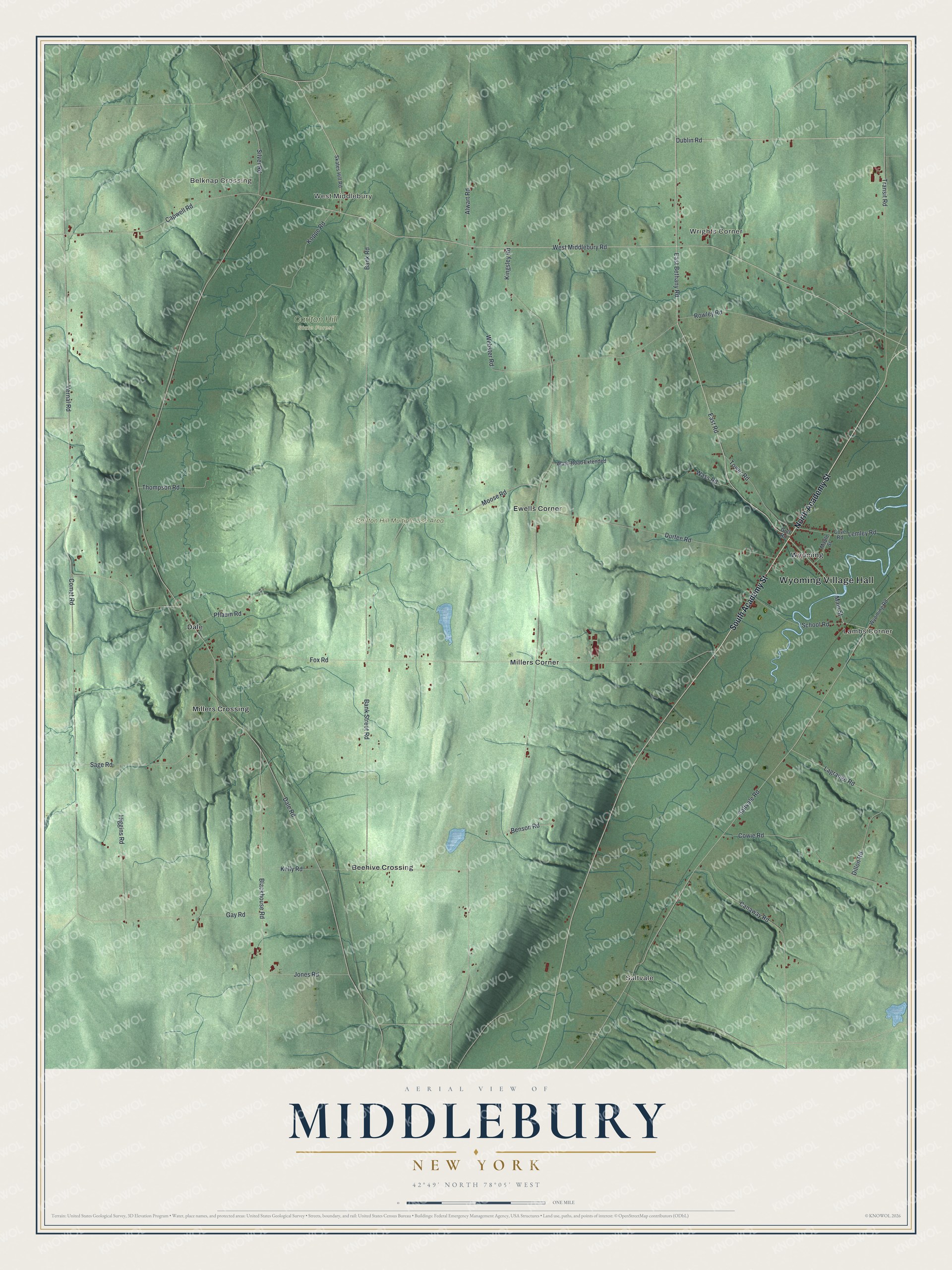
This beautifully detailed map of Middlebury, New York was created in 2026 using aerial imagery combined with modern topographical, census, street and landmark data. It’s a one-of-a-kind view of Middlebury that combines accurate data with a vintage aesthetic. The map shows every building in its true location, many of the roads carry their names, and the shaded topographic relief shows the shape of the land.
Explore an aerial view of Middlebury, New York
On the map you’ll find Wyoming Village Hall, Saltvale, Belknap Crossing, Lambs Corner, West Middlebury, Wrights Corner, and Carlton Hill State Forest, along with Academy Street, Dublin Road, Bethany Road, East Road, and more. If you look closely you can even find your house accurately drawn in its correct location. Zoom in on the preview to look for yours.
Did You Know?
Jonas Sellick made the first recorded land purchase in Middlebury on May 1, 1802. He bought it at the Holland Land Office in Genesee County. His land later became known as Wrights Corner. The town was formed out of Warsaw on March 28, 1812. That’s from the Town of Middlebury.
Take a closer look at the Middlebury map
Names on this map
These names are printed on this map.
Places: Wyoming Village Hall, Saltvale, Belknap Crossing, Lambs Corner, West Middlebury, Wrights Corner, Carlton Hill State Forest, Carlton Hill Multiple Use Area, Beehive Crossing, Dale, Ewells Corner, Millers Corner, Millers Crossing and Wyoming.
Streets and roads: South Academy Street, North Academy Street, Dublin Road, East Bethany Road, East Road, West Middlebury Road, Main Street, Transit Road, Capwell Road, Vernal Road, Dale Road, Kingsley Road.
More street names, A to Z
Alwart Road, Bank Road, Bank Street Road, Benson Road, Blackhouse Road, Canaway Road, Comet Road, Cove Road, Cowie Road, Dillon Road, Durfee Road, Fox Road, Gay Road, Gulf Road, Higgins Road, Jones Road, Kelly Road, Koppe Road, Lagrange Road, Lemley Road, Maple Street, Moose Road, Pflaum Road, Rowley Road, Sage Road, Saltvale Road, School Road, Silver Road, Skates Hill Road, Thompson Road, Tower Road, Wass Road, Wass Road Extended, Webster Road, Wyoming Road.
See it on a wall
The Middlebury map as a framed print. Swipe for more.


This beautifully detailed map of Middlebury makes an attractive addition to your office, library, or den, and it can even be used to teach children the geography and history of the area. It also makes a great gift for anyone with Middlebury roots. When you’re done exploring, click here to get your copy of the Middlebury map.