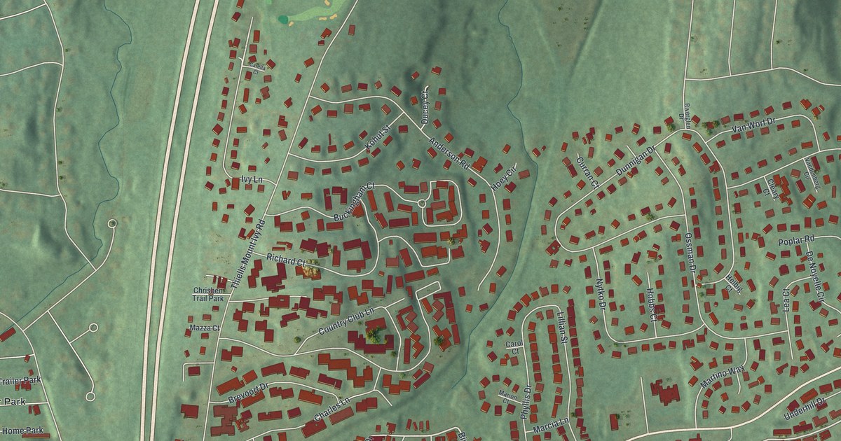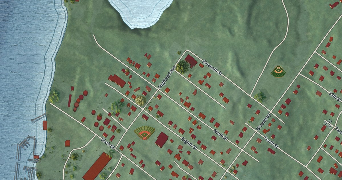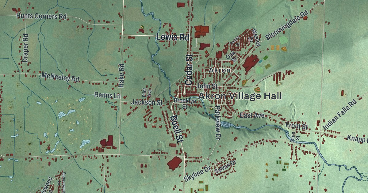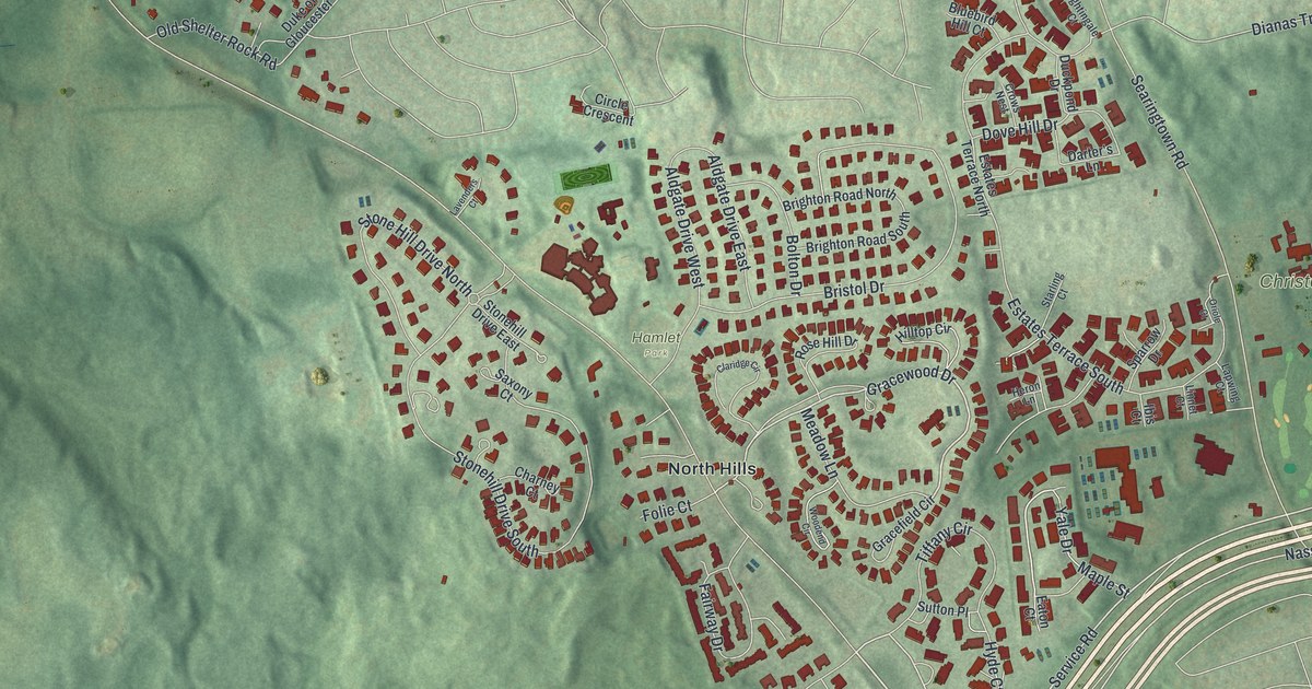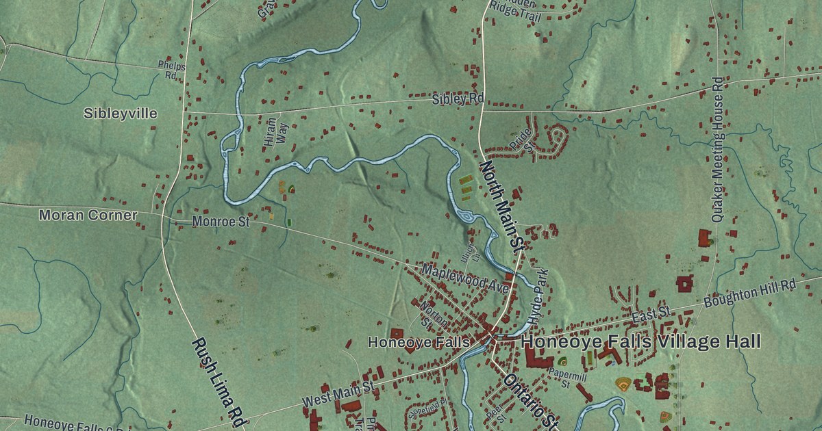
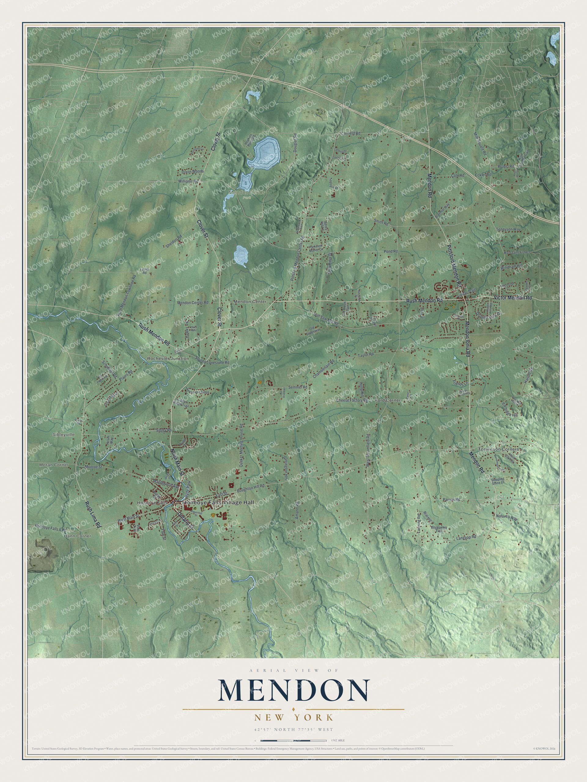
This beautifully detailed map of Mendon, New York was created in 2026 using aerial imagery combined with modern topographical, census, street and landmark data. It’s a one-of-a-kind view of Mendon that combines accurate data with a vintage aesthetic. The map shows every building in its true location, many of the roads carry their names, and the shaded topographic relief shows the shape of the land.
Explore an aerial view of Mendon, New York
On the map you’ll find Honeoye Falls Village Hall, Dann Corner, Moran Corner, Sibleyville, Ford Corner, Honeoye Falls, and Mendon Ponds Park, along with Rush Mendon Road, Clover Street, Main Street, Victor Mendon Road, and more. If you look closely you can even find your house accurately drawn in its correct location. Zoom in on the preview to look for yours.
Did You Know?
The Seneca village of Totiakton once stood in what is now Mendon. About 4,000 people lived there. In 1687 the Marquis de Denonville, governor of New France, destroyed it during his campaign against the Seneca. The survivors soon moved away.
Take a closer look at the Mendon map
Names on this map
These names are printed on this map.
Places: Honeoye Falls Village Hall, Dann Corner, Moran Corner, Sibleyville, Mendon Ponds Park, Ford Corner, Honeoye Falls, Mendon Center, Rochester Junction, Tomlinson Corners and Hyde Park.
Streets and roads: Rush Mendon Road, Clover Street, North Main Street, Victor Mendon Road, Mendon Ionia Road, Ontario Street, Mendon Road, Pittsford Mendon Road, Rush Lima Road, West Main Street, East Street, Boughton Hill Road.
More street names, A to Z
Amann Road, Bosworth Field, Braemar Way, Brat Hill, Bridlewood Trail, Buggywhip Trail, Bull Saw Mill Road, Canfield Road, Carolina Drive, Chamberlain Road, Chateau Place, Cheese Factory Road, Cole Road, Dixon Woods, Douglas Road, Drumlin View Drive, Eckler Road, Fords Crossing, Friends Lane, Gravel Hill Lane, Harloff Road, Hawks Vw, Hidden Ridge Trail, High Country Trail, Hiram Way, Holly Hill, Honeoye Falls 6 Road, Hopkins Point Road, Hopper Hills Way, Hunt Club Drive, Huntington Heights, Hurlingham Drive, Junction Road, Kingsbridge Lane, Langpap Road, Lanning Road, Linear Trail, Lyons Road, Main Saint Fishers, Maplewood Avenue, Mendon Center Road, Mendonshire Heights, Mile Square Road, Monroe Street, Nature's Way, Norton Street, Oakberry Lane, Old Brook Trail, Old French Road, Old Stableway, Owls Rest, Papermill Street, Parkview Manor Circle, Parrish Road, Partridge Hill, Partridge Hollow, Peer Street, Phelps Road, Phila Street, Pine Trail, Pittsford Mendon Center Road, Plains Road, Pond Road, Portofino Circle, Pride Street, Probst Road, Pvt Driveways, Quaker Meeting House Road, Royal Hunt Lane, Rush Mendon Townline Road, Schofield Road, Semmel Road, Sheldon Road, Sibley Road, Smith Road, Stepping Stone Lane, Stonefield Place, Stoney Lonesome Road, Stony Ridge Drive, Surrey Hill Lane, Sycamore Ridge, Taylor Road, Tennyson Way, Topspin Drive, Ulrich Lane, Walnut Heights, West Bloomfield Road, Williams Road, Windham Hill, Wood Spring Hill, York Street.
See it on a wall
The Mendon map as a framed print. Swipe for more.


This beautifully detailed map of Mendon makes an attractive addition to your office, library, or den, and it can even be used to teach children the geography and history of the area. It also makes a great gift for someone who left Mendon and still calls it home. When you’re done exploring, click here to get your copy of the Mendon map.