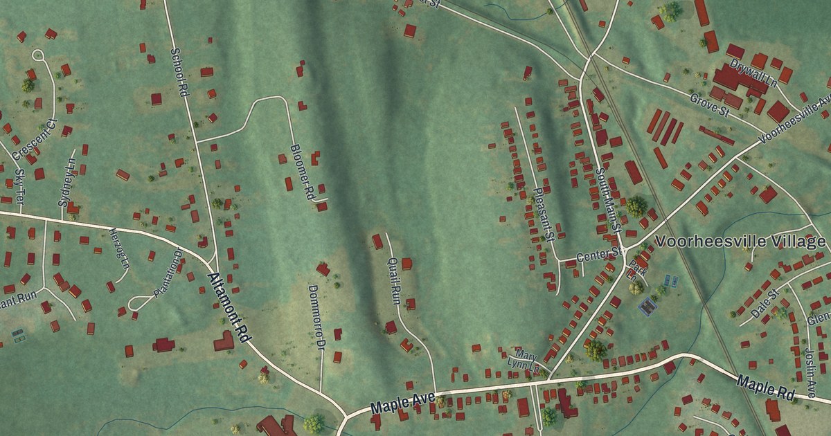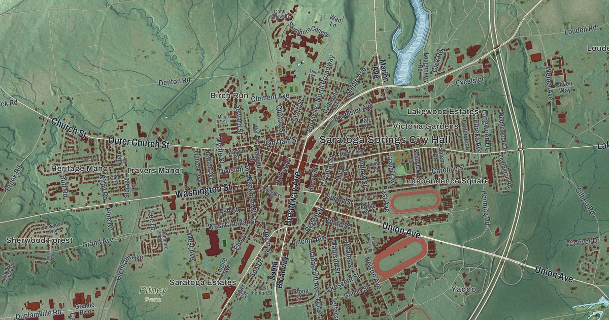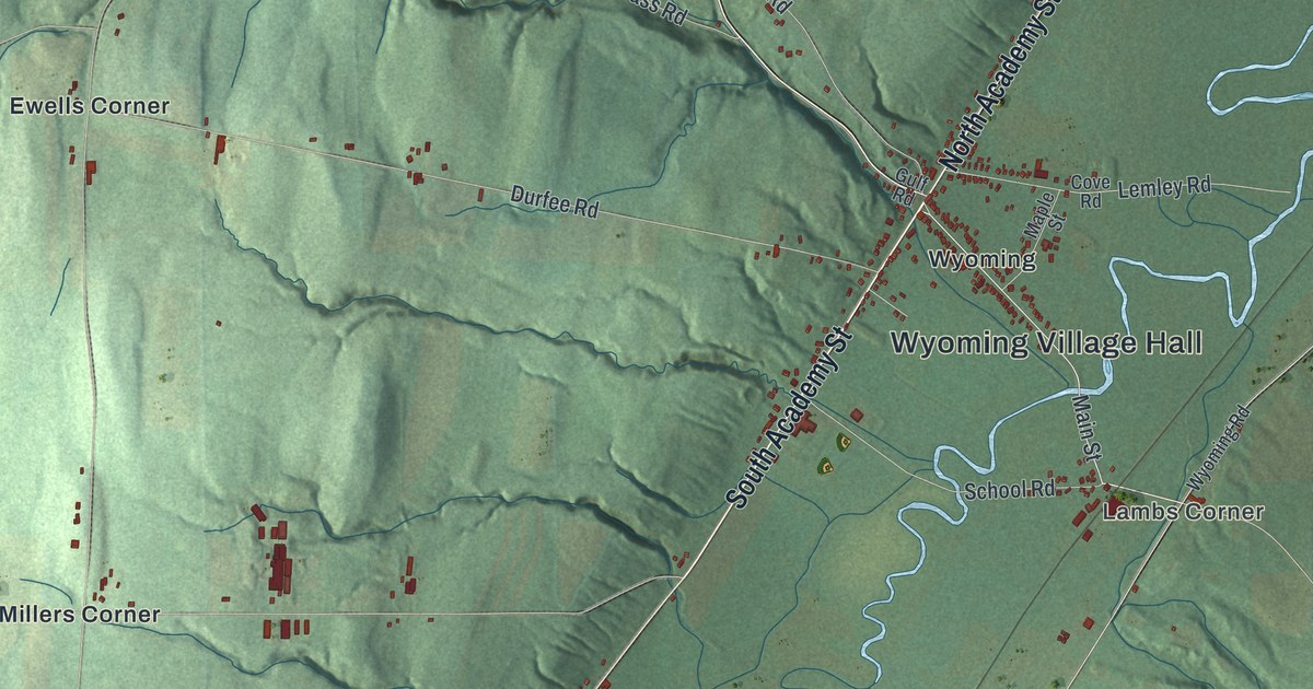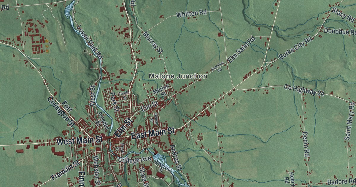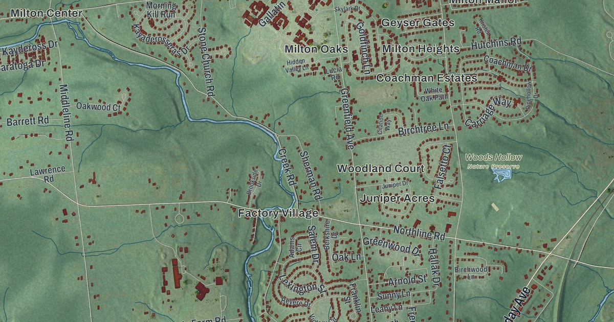
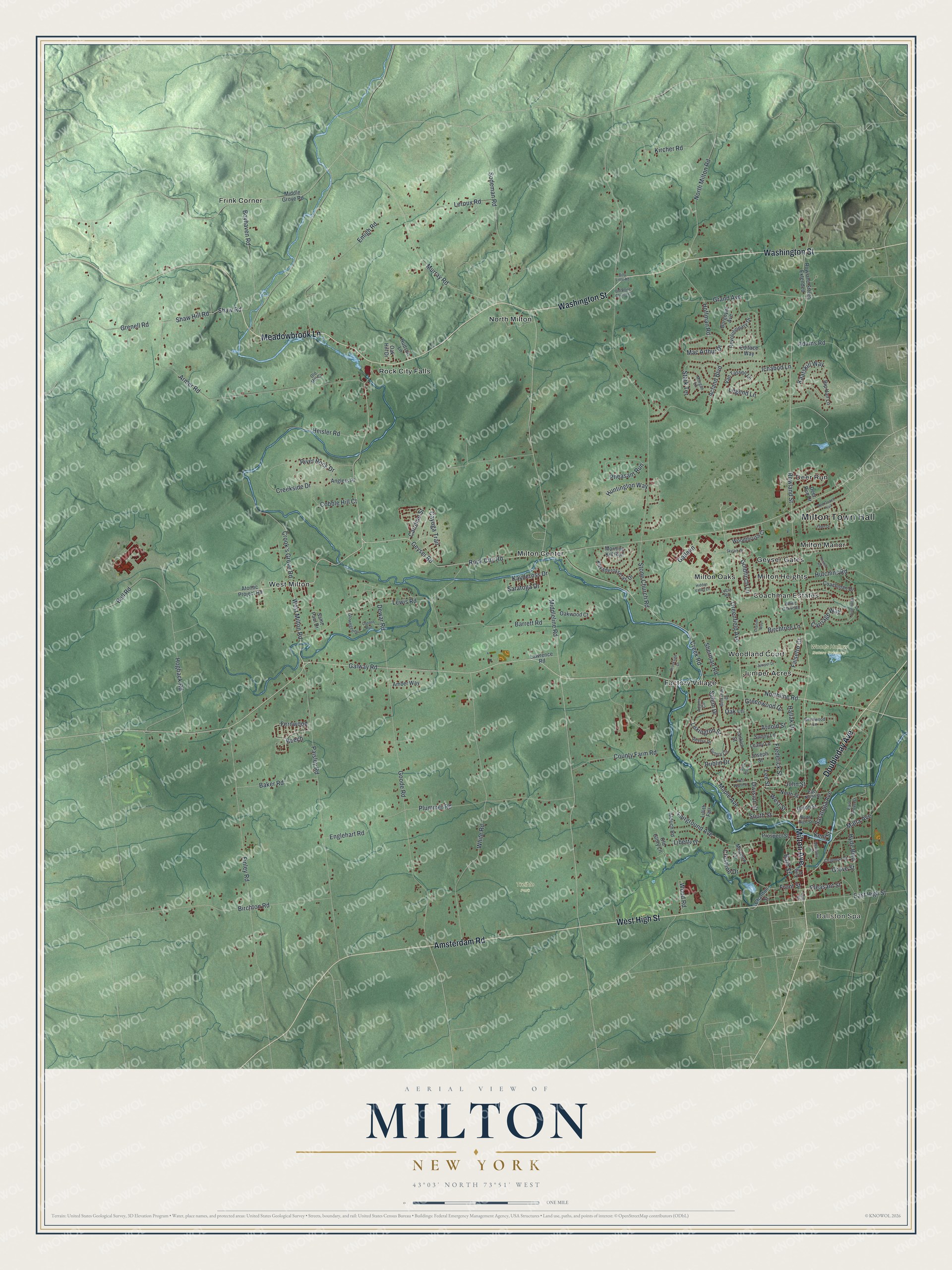
This beautifully detailed map of Milton, New York was created in 2026 using aerial imagery combined with modern topographical, census, street and landmark data. It’s a one-of-a-kind view of Milton that combines accurate data with a vintage aesthetic. The map shows every building in its true location, many of the roads carry their names, and the shaded topographic relief shows the shape of the land.
Explore an aerial view of Milton, New York
On the map you’ll find Milton Town Hall, Ballston Spa, Deer Run, Factory Village, Frink Corner, Geyser Gates, Treible Park, and Woods Hollow Nature Preserve, along with Milton Avenue, High Street, Amsterdam Road, Doubleday Avenue, and more. If you look closely you can even find your house accurately drawn in its correct location. Zoom in on the preview to look for yours.
Did You Know?
Milton’s most famous maker was George West, known as the Paper Bag King. He ran paper mills in town and invented a line of square-bottomed paper bags. Soon after the Civil War he sold them by the millions. Like the town’s other water-powered mills, his works later lost out to electric factories.
Take a closer look at the Milton map
Names on this map
These names are printed on this map.
Places: Milton Town Hall, Ballston Spa, Treible Park, Woods Hollow Nature Preserve, Coachman Estates, Deer Run, Factory Village, Frink Corner, Geyser Gates, Juniper Acres, Milton Center, Milton Heights, Milton Manor, Milton Oaks, North Milton, Rock City Falls, West Milton and Woodland Court.
Streets and roads: Milton Avenue, West High Street, Amsterdam Road, Doubleday Avenue, Washington Street, Meadowbrook Lane, Galway Road, Rock City Road, Northline Road, West Milton Road, Geyser Road, West Street.
More street names, A to Z
Acland Boulevard, Adams Circle, Adams Road, Aldrich Road, Amber Way, Anglers Place, Armer Road, Arnold Street, Atomic Project Road, Back Stop Lane, Baker Road, Barrett Road, Bath Street, Beech, Bell Road, Berkshire Drive, Billy Little Road, Birchton Road, Birchtree Lane, Birchwood Lane, Boyhaven Road, Brookside Drive, Burgoyne Avenue, Caroline Street, Carriage Way, Cayuga Trail, Chapman Street, Charlton Street, Citation Way, Coachman Drive, Cobble Hill Court, Conans Run, County Farm Road, Creek Road, Creekside Drive, Crestline Drive, Crook's Grove Road, Deer Run Drive, Dewar Road, Division Street, Dublin Drive, East Grove Street, East High Street, East North Street, Ediface Way, Emigh Road, Englehart Road, Fairground Avenue, Falsetto Court, Fawn Drive, Fernwood, Finley Road, Franklin Street, Frederick Street, Front Street, Gallatin, Glowegee Drive, Goldfinch Lane, Goode Road, Grand Avenue, Greenfield Avenue, Greenwood Drive, Grenell Road, Grove Street, Hallak Drive, Heisler Road, Hidden Valley Lane, Hoffman Road, Hogback Road, Hudson Lane, Huntington Way, Hutchins Road, Hyde Boulevard, Ichabod Lane, John Street, Joseph Street, Juniper Drive, Kaatskill Way, Kayaderosseras Drive, Kaydeross Drive, Kent Street, King Street, Kircher Road, Kristen Road, Lawrence Road, Leahy Lane, Lee Street, Legend Lane, Leroux Road, Lewis Road, Lexington Street, Liberty Drive, Lillith Fair, Low Street, Lucia Road, Mac Arthur Drive, Malta Avenue, Maple Avenue, Meadow Lane, Mechanic Street, Middle Grove Road, Middleline Road, Morgan Lane, Morning Kill Run, Murray Road, North High Street, North Milton Road, North Street, Oak Hill Drive, Oak Lane, Oakwood Court, Old Glory Lane, Old Mill Court, Old Stone Church Court, Paisley Road, Pheasant Run, Pinehollow Drive, Pleasant Street, Plummer Road, Prospect Street, Red Coach Trail, Revere Drive, Revolutionary Drive, Rip Van Lane, River Rock Drive, Rowland Street, Rowland Street Extended, Saint Paul Drive, Salem Drive, Saratoga Avenue, Saratoga Drive, Shaw Hill Road, Shaw Road, Sherman Road, Skylark Drive, Sodeman Road, South Street, Stark Terrace, Stone Church Road, Sunny Lane, Union Street, Van Tassell Lane, Victory Circle, West North Street, White Oak Path, White Road, Wood Road, Woodthrush Court.
See it on a wall
The Milton map as a framed print. Swipe for more.


This beautifully detailed map of Milton makes an attractive addition to your office, library, or den, and it can even be used to teach children the geography and history of the area. It also makes a great gift for anyone who grew up in Milton or moved away. When you’re done exploring, click here to get your copy of the Milton map.