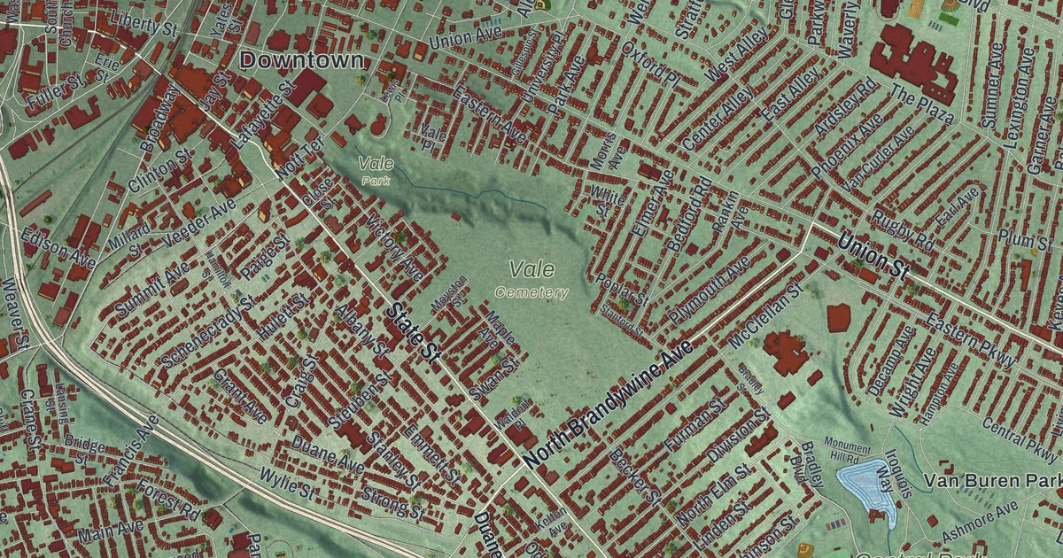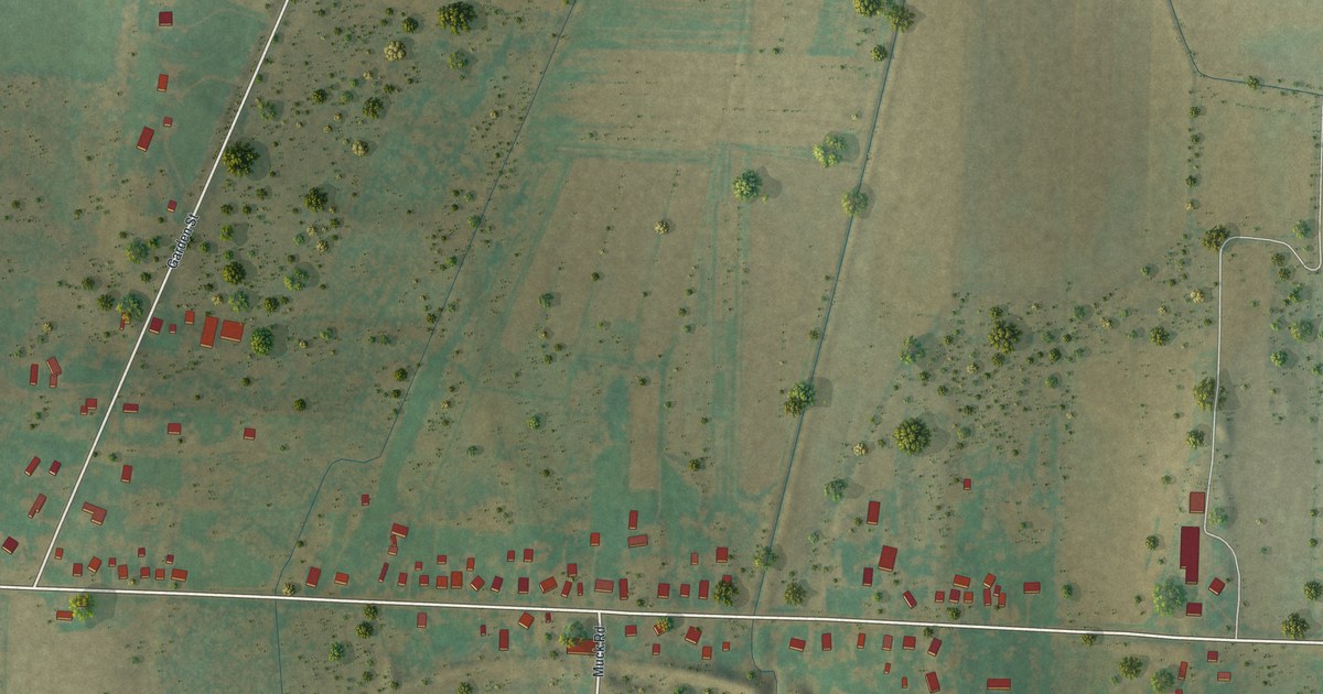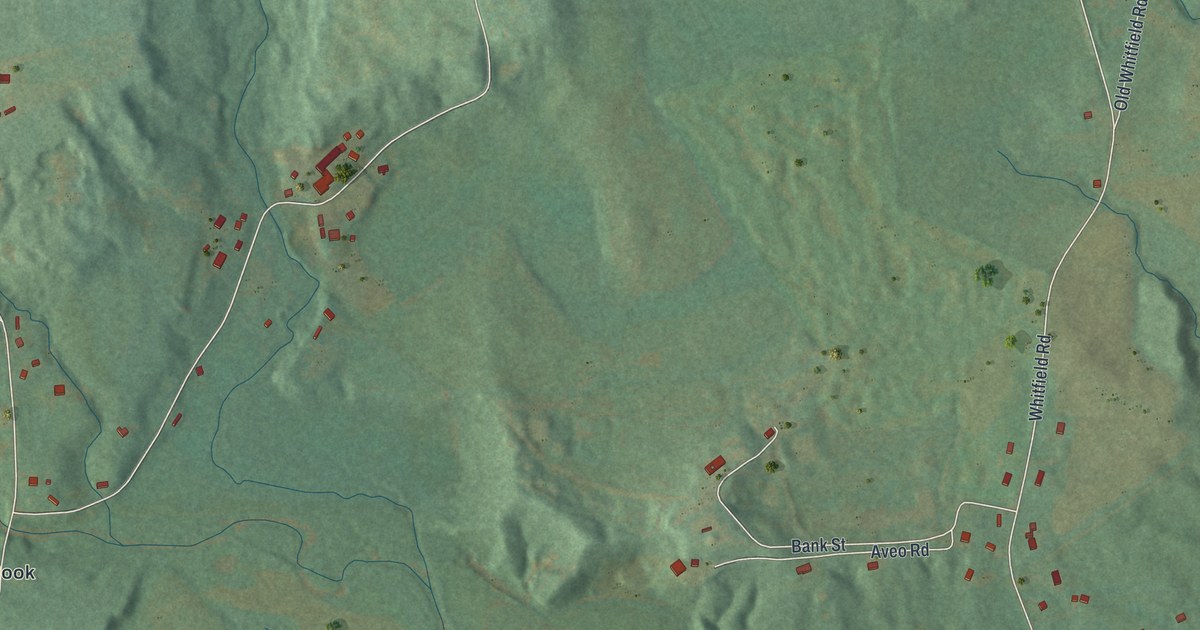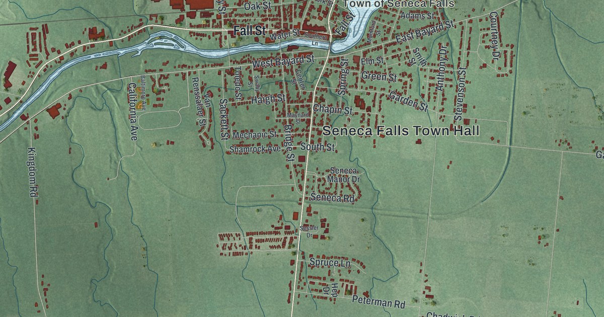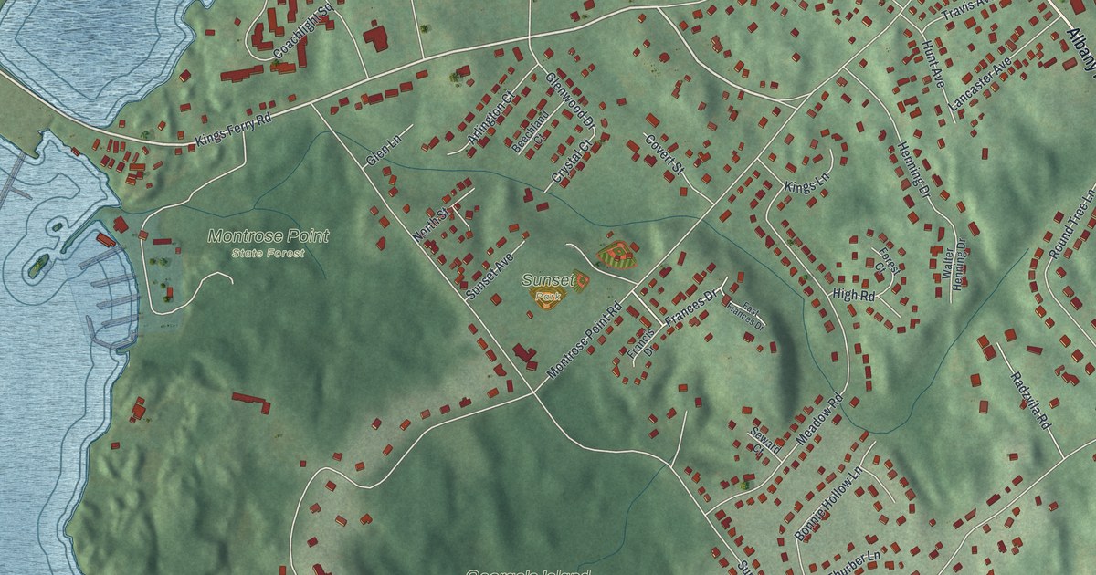
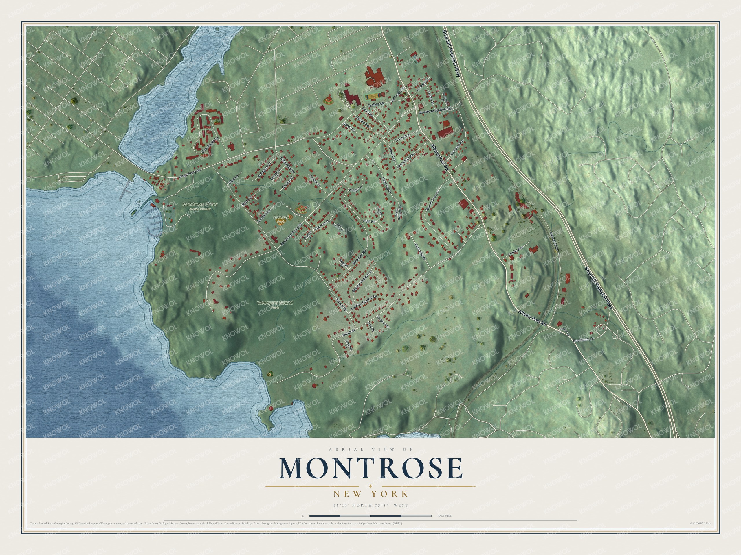
This beautifully detailed map of Montrose, New York was created in 2026 using aerial imagery combined with modern topographical, census, street and landmark data. It’s a one-of-a-kind view of Montrose that combines accurate data with a vintage aesthetic. The map shows every building in its true location, many of the roads carry their names, and the shaded topographic relief shows the shape of the land.
Explore an aerial view of Montrose, New York
On the map you’ll find George’s Island Park, Montrose Point State Forest, and Sunset Park, along with Albany Post Road, Briarcliff-Peekskill Parkway, Kings Ferry Road, Frances Drive, Deerhaunt Drive, and more. If you look closely you can even find your house accurately drawn in its correct location. Zoom in on the preview to look for yours.
Did You Know?
Montrose is a hamlet in the town of Cortlandt, in the northwest corner of Westchester County. It takes its name from the Montross family. Most members of that family worked at the tannery in nearby Buchanan.
Take a closer look at the Montrose map
Names on this map
These names are printed on this map.
Places: George's Island Park, Montrose Point State Forest and Sunset Park.
Streets and roads: Albany Post Road, Briarcliff-Peekskill Parkway, Kings Ferry Road, Frances Drive, Deerhaunt Drive, Glenwood Drive, Dutch Street, Montrose Point Road, Sunset Road, Meadow Road, Coachlight Square, Memorial Drive.
More street names, A to Z
Adele Court, Arlington Court, Beechland Court, Bonnie Hollow Lane, Covert Street, Crugers Road, Crystal Court, Doskow Road, East Frances Drive, Forest Court, Francis Drive, Glen Lane, Harper Avenue, Henning Drive, High Road, Hunt Avenue, James Street, Kings Lane, Lancaster Avenue, Lent Avenue, Lisa Court, Montrose Station Road, North Street, Oconnor Court, Old Trolley Road, Orchard Street, Radzvila Road, Raymond Street, Round Tree Lane, Seward Court, Sunset Avenue, Tommy Thurber Lane, Travis Avenue, Trinity Avenue, Trolley Road, Victoria Avenue, Walter Henning Drive.
See it on a wall
The Montrose map as a framed print. Swipe for more.


This beautifully detailed map of Montrose makes an attractive addition to your office, library, or den, and it can even be used to teach children the geography and history of the area. It also makes a great gift for anyone who grew up in Montrose or moved away. When you’re done exploring, click here to get your copy of the Montrose map.