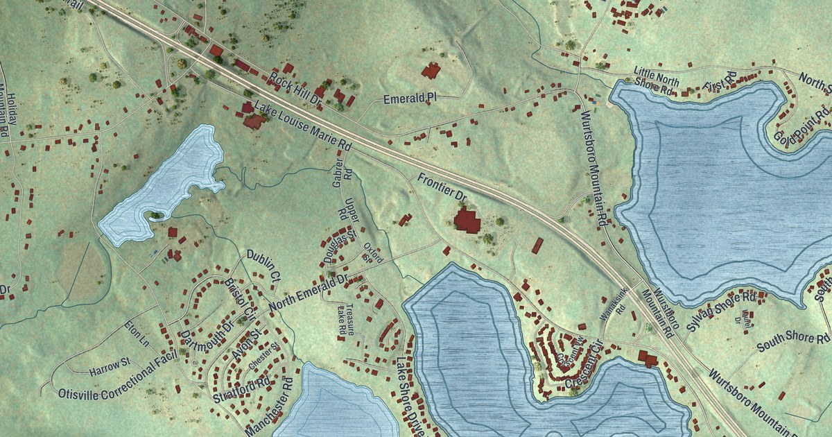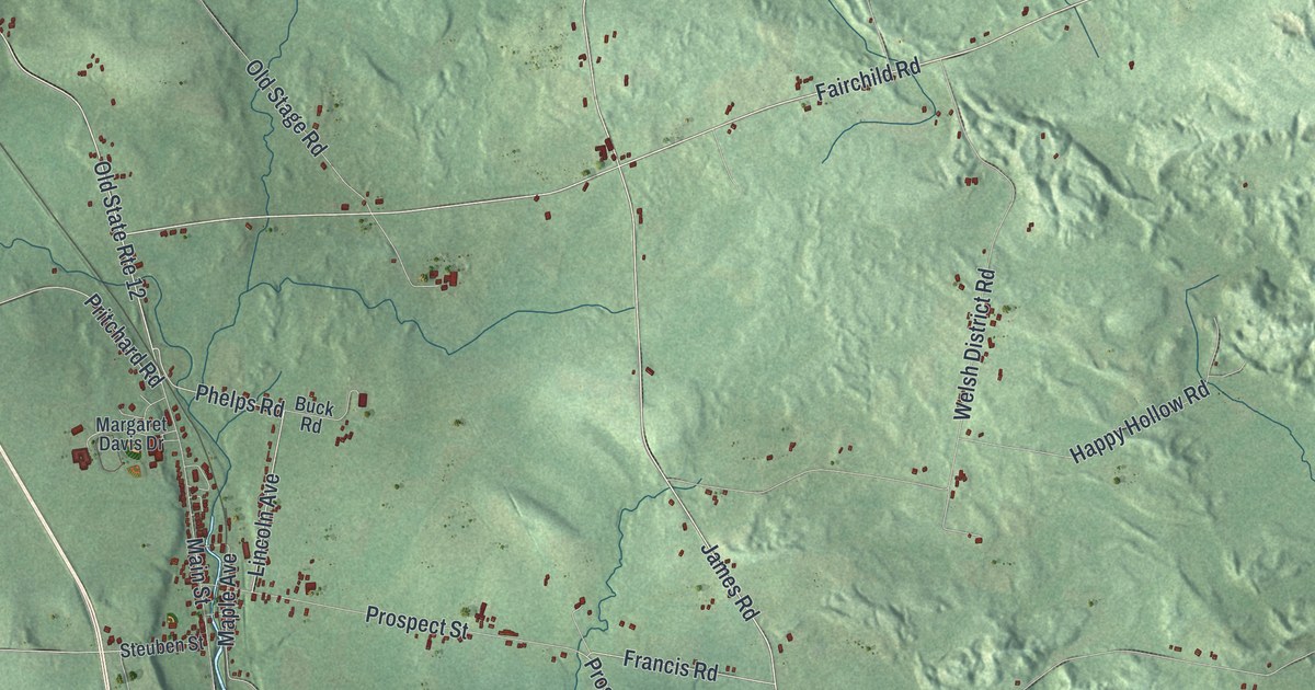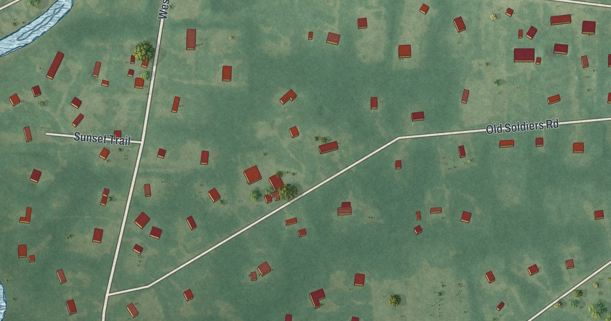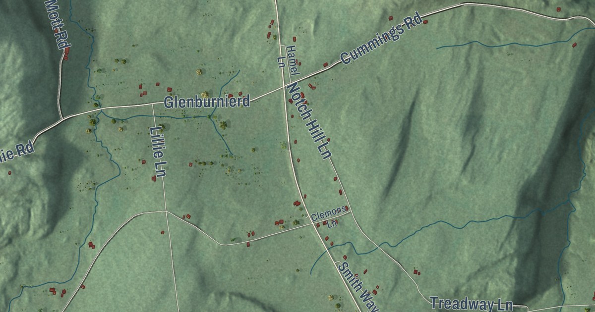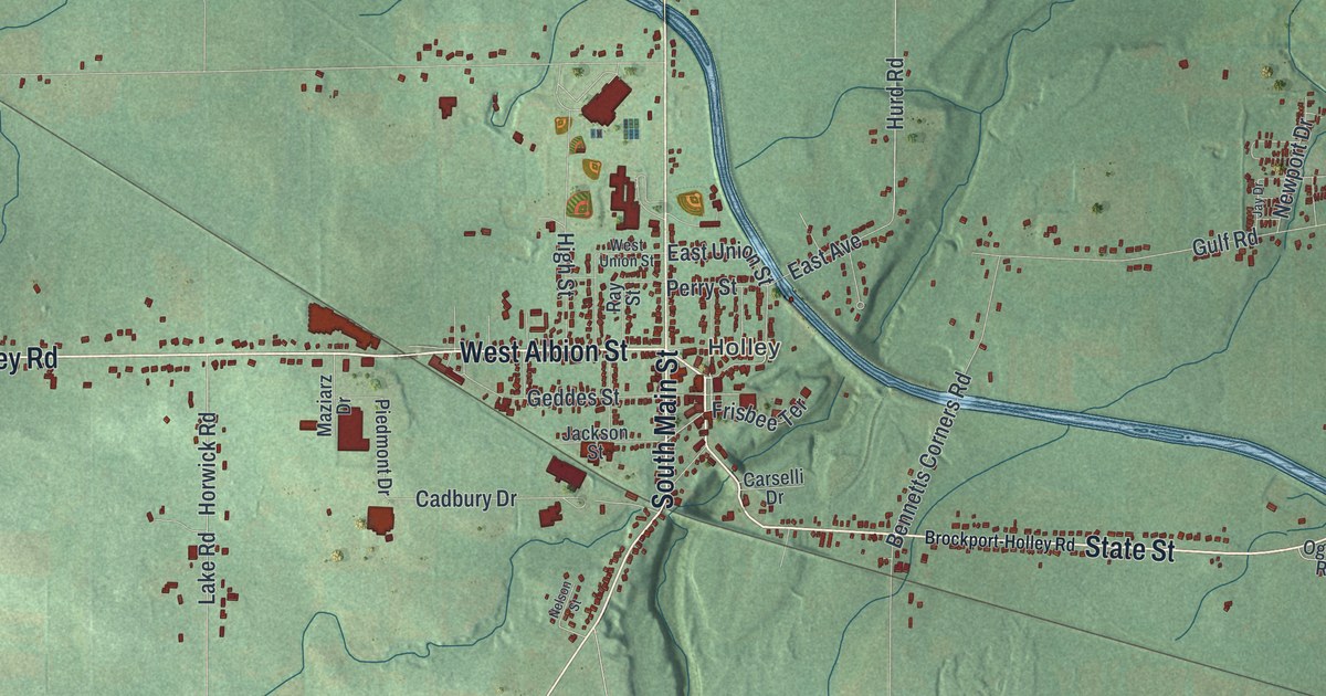
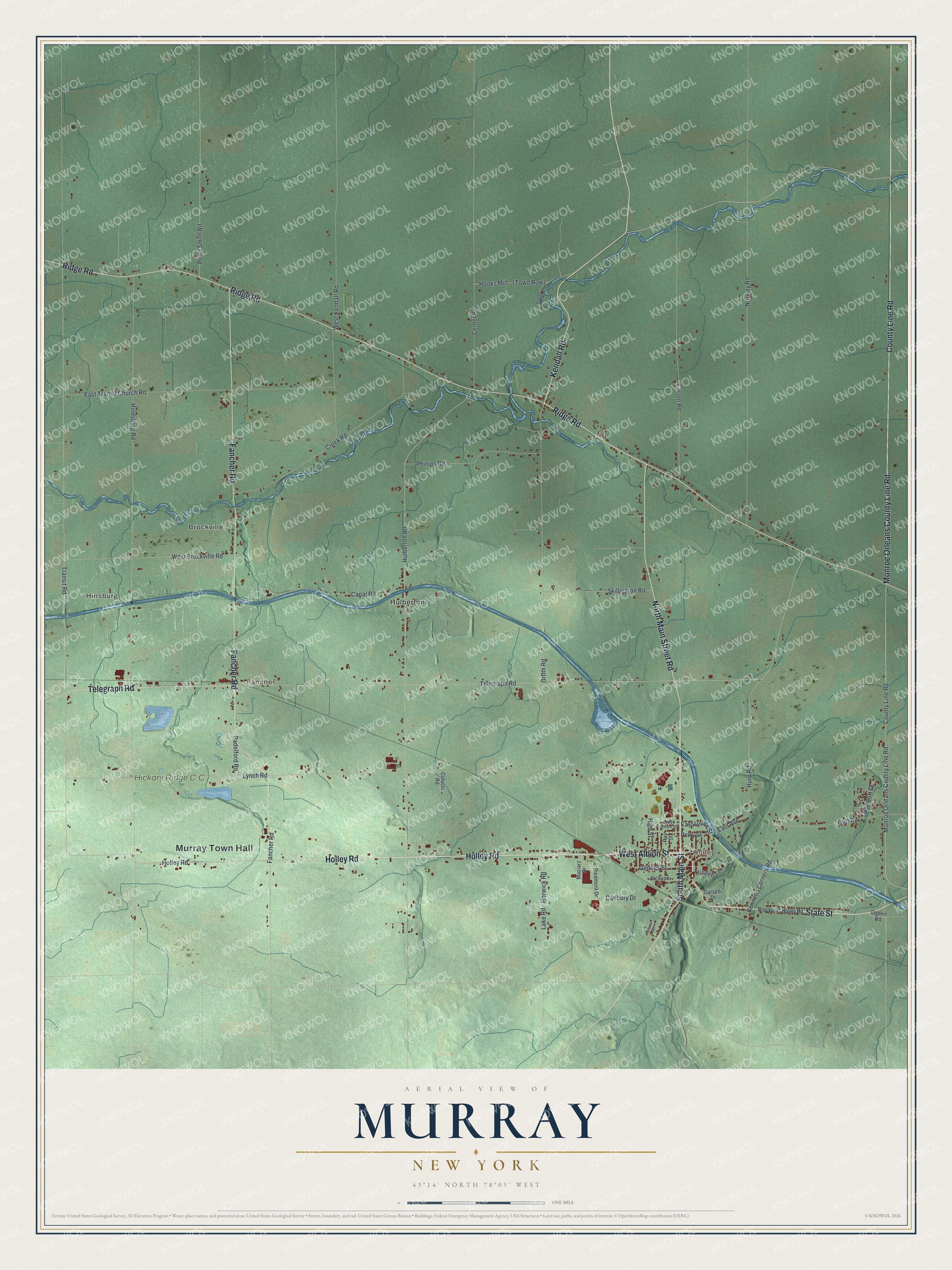
This beautifully detailed map of Murray, New York was created in 2026 using aerial imagery combined with modern topographical, census, street and landmark data. It’s a one-of-a-kind view of Murray that combines accurate data with a vintage aesthetic. The map shows every building in its true location, many of the roads carry their names, and the shaded topographic relief shows the shape of the land.
Explore an aerial view of Murray, New York
On the map you’ll find Murray Town Hall, Holley, Hinsburg, Fancher, Brockville, and Hulberton, along with Holley Road, Albion Street, Main Street, Kendall Road, and more. If you look closely you can even find your house accurately drawn in its correct location. Zoom in on the preview to look for yours.
Did You Know?
The town of Murray takes its name from John Murray. He was a New York City merchant who owned a large amount of land in the town. The first settler of European descent, Epaphras Mattison, came to Sandy Creek in 1809 and opened a tavern. That’s from the Town of Murray.
Take a closer look at the Murray map
Names on this map
These names are printed on this map.
Places: Murray Town Hall, Holley, Hinsburg, Fancher, Brockville, Hulberton and Hickory Ridge C.C..
Streets and roads: Holley Road, West Albion Street, South Main Street, State Street, Kendall Road, County Line Road, Monroe Orleans County Line Road, Fancher Road, Ridge Road, North Main Street Road, Telegraph Road, East Union Street.
More street names, A to Z
Bennetts Corners Road, Brockport-Holley Road, Cadbury Drive, Canal Road, Carselli Drive, Carton Road, Center Road, Colucci Road, Creek Road, East Avenue, East Transit Church Road, Frisbee Terrace, Geddes Street, Groth Road, Gulf Road, High Street, Hindsburg Road, Hooks Mill, Horwick Road, Hulberton Road, Hurd Road, Jackson Street, Jay Drive, Lake Road, Lynch Road, Maziarz Drive, Nelson Street, Newport Drive, Norway Road, Ogden Road, Padelford Road, Perry Street, Peter Smith Road, Phillips Road, Piedmont Drive, Ray Street, Sandy Creek Lane, Skillington Road, Transit Road, West Brockville Road, West Kendall Road, West Union Street.
See it on a wall
The Murray map as a framed print. Swipe for more.


This beautifully detailed map of Murray makes an attractive addition to your office, library, or den, and it can even be used to teach children the geography and history of the area. It also makes a great gift for anyone with Murray roots. When you’re done exploring, click here to get your copy of the Murray map.