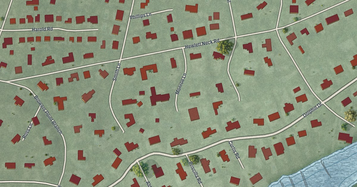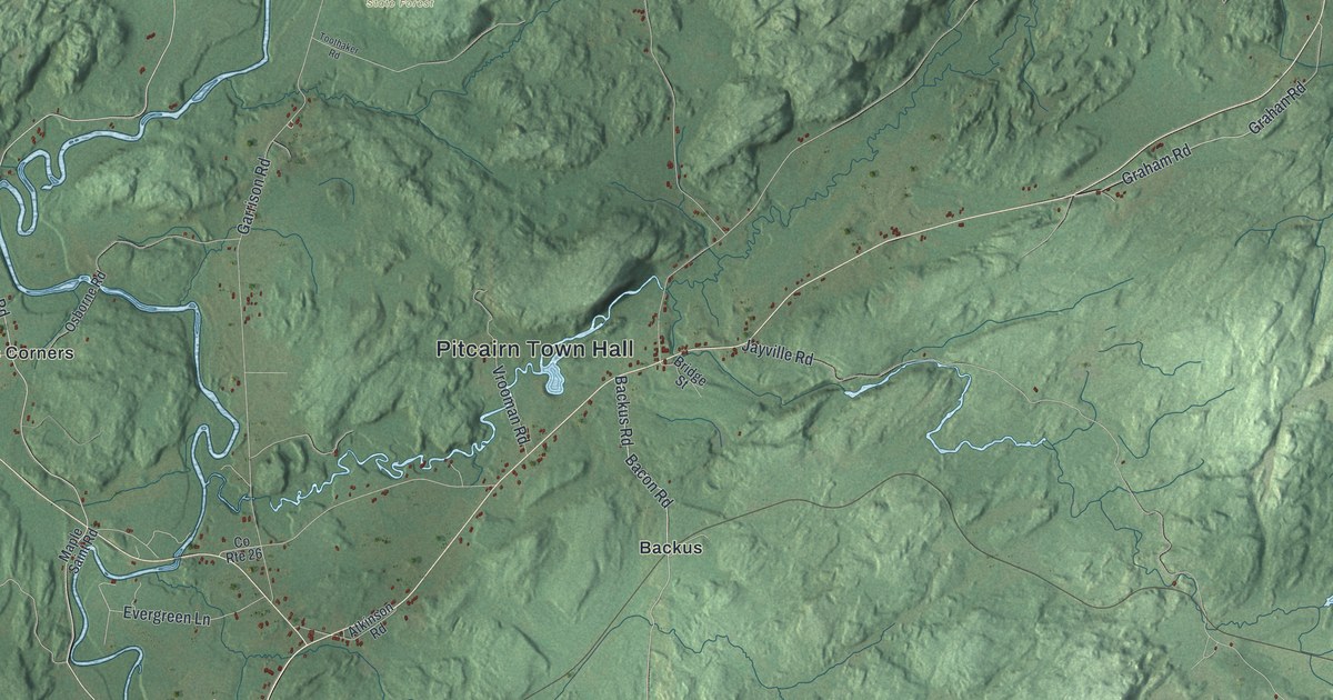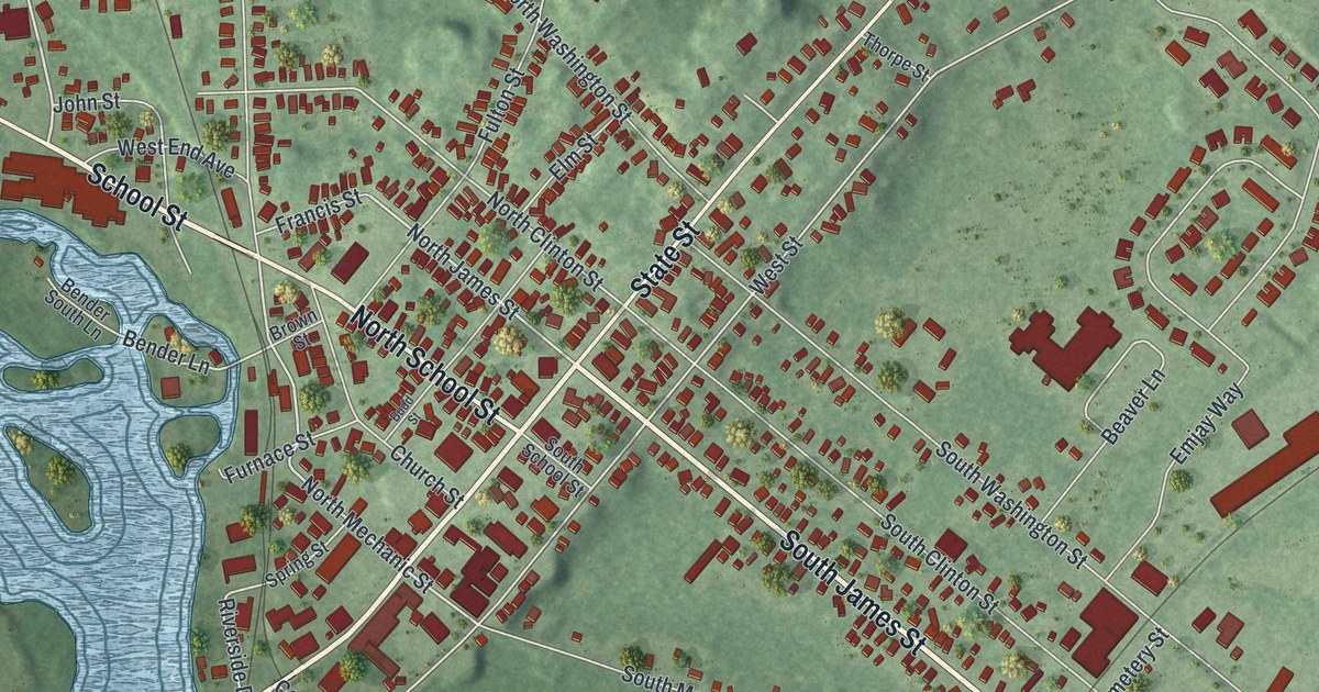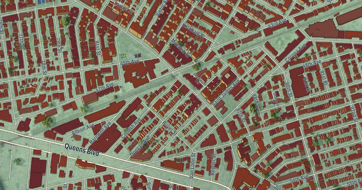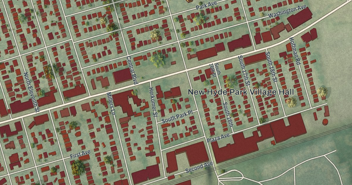
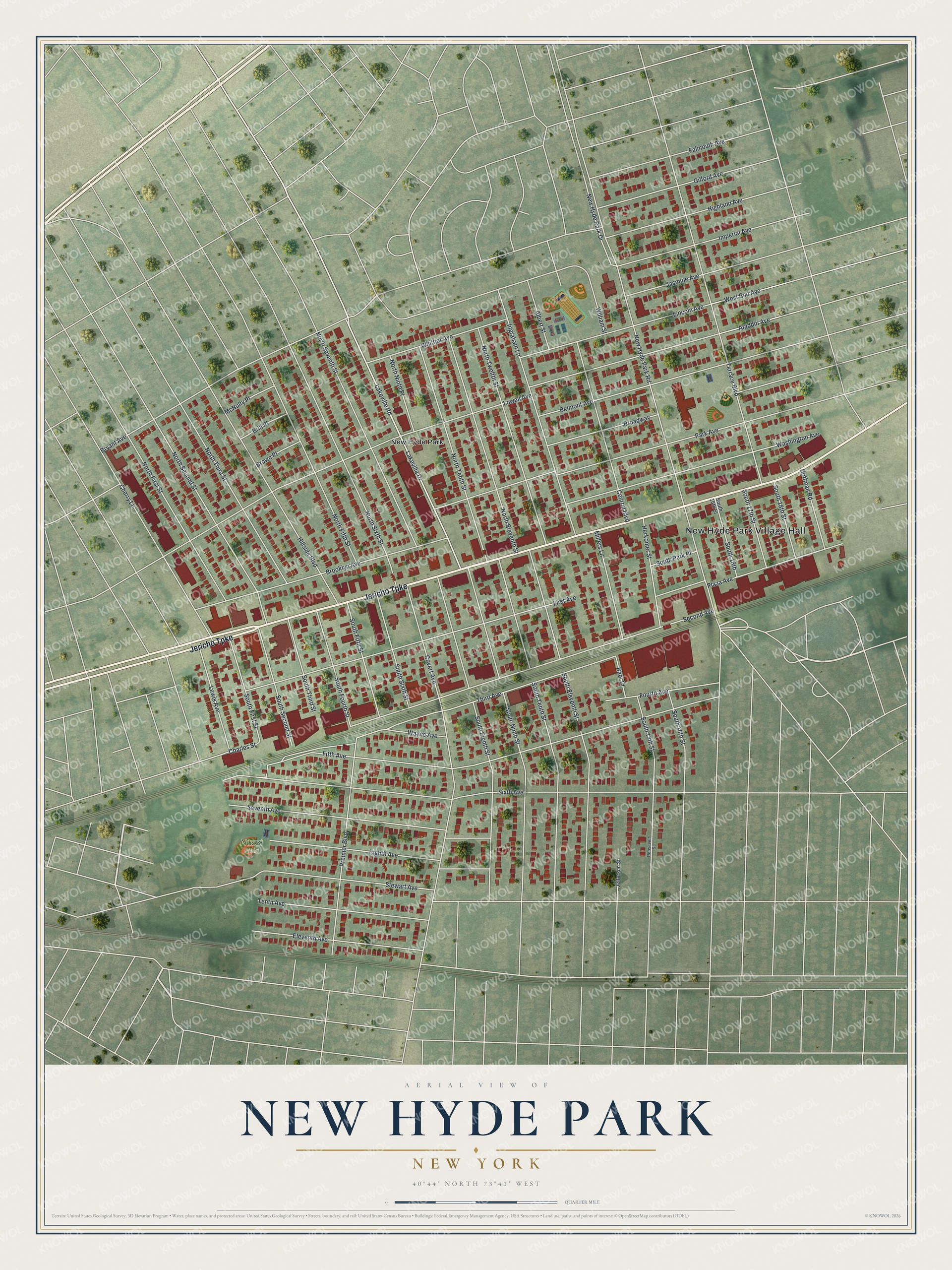
This beautifully detailed map of New Hyde Park, New York was created in 2026 using aerial imagery combined with modern topographical, census, street and landmark data. It’s a one-of-a-kind view of New Hyde Park that combines accurate data with a vintage aesthetic. The map shows every building in its true location, many of the roads carry their names, and the shaded topographic relief shows the shape of the land.
Explore an aerial view of New Hyde Park, New York
On the map you’ll find New Hyde Park Village Hall, along with Jericho Turnpike, Lakeville Drive, Lowell Avenue, New Hyde Park Road, and more. If you look closely you can even find your house accurately drawn in its correct location. Zoom in on the preview to look for yours.
Did You Know?
George Clarke, the colony’s Secretary of the Province, bought the old Dongan estate in 1715. He called the land Hyde Park after his wife, Ann Hyde. When a post office opened in 1871, residents added the word New. That kept their mail apart from Hyde Park up in the Hudson Valley.
Take a closer look at the New Hyde Park map
Names on this map
These names are printed on this map.
Places: New Hyde Park Village Hall, Nuzzi Field and New Hyde Park.
Streets and roads: Jericho Turnpike, Lakeville Drive, Lowell Avenue, New Hyde Park Road, Fifth Avenue, Sixth Avenue, Third Avenue, Covert Avenue, Park Avenue, Second Avenue, First Avenue, Terrace Boulevard.
More street names, A to Z
Aladdin Avenue, Albert Street, Baer Place, Belmont Avenue, Brill Place, Broadway, Brooklyn Avenue, Brown Place, Bryant Avenue, Central Boulevard, Charles Street, Cherry Lane, Eighth Avenue, Eleventh Avenue, Falmouth Avenue, Fourth Avenue, Gilford Avenue, Herkomer Street, Highland Avenue, Hillside Boulevard, Hoffman Road, Imperial Avenue, Ingraham Lane, Jasmine Avenue, Jefferson Street, Lakeville Road, Lewis Avenue, Lincoln Avenue, McNulty Place, Millers Lane, New Hyde Park Drive, North Eleventh Street, North Fifth Street, North First Street, North Ninth Place, North Second Street, North Seventh Street, North Sixth Street, North Tenth Street, North Third Street, North Twelfth Street, Plaza Avenue, Premier Boulevard, Roosevelt Street, Seventh Avenue, South 13th Street, South 14th Street, South 16th, South 16th Street, South 17th Street, South 18th Street, South Eighth Street, South Eleventh Street, South Fifth Street, South First Street, South Fourth Street, South Ninth Street, South Park Place, South Second Street, South Sixth Street, South Tenth Street, South Third Street, Stewart Avenue, Tenth Avenue, Washington Avenue, Wayne Avenue, West End Avenue, Whittier Avenue, William Street.
See it on a wall
The New Hyde Park map as a framed print. Swipe for more.


This beautifully detailed map of New Hyde Park makes an attractive addition to your office, library, or den, and it can even be used to teach children the geography and history of the area. It also makes a great gift for anyone who grew up in New Hyde Park or moved away. When you’re done exploring, click here to get your copy of the New Hyde Park map.