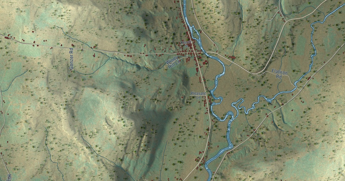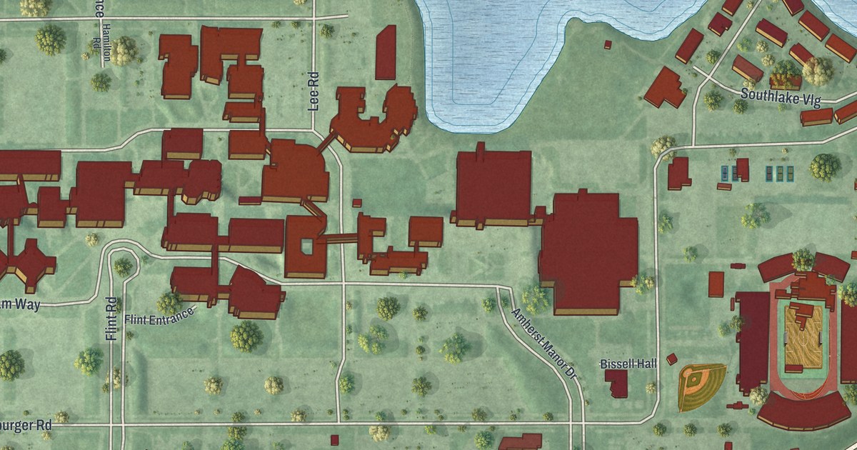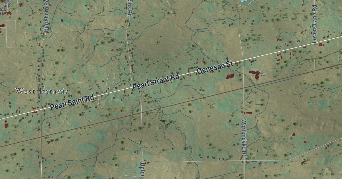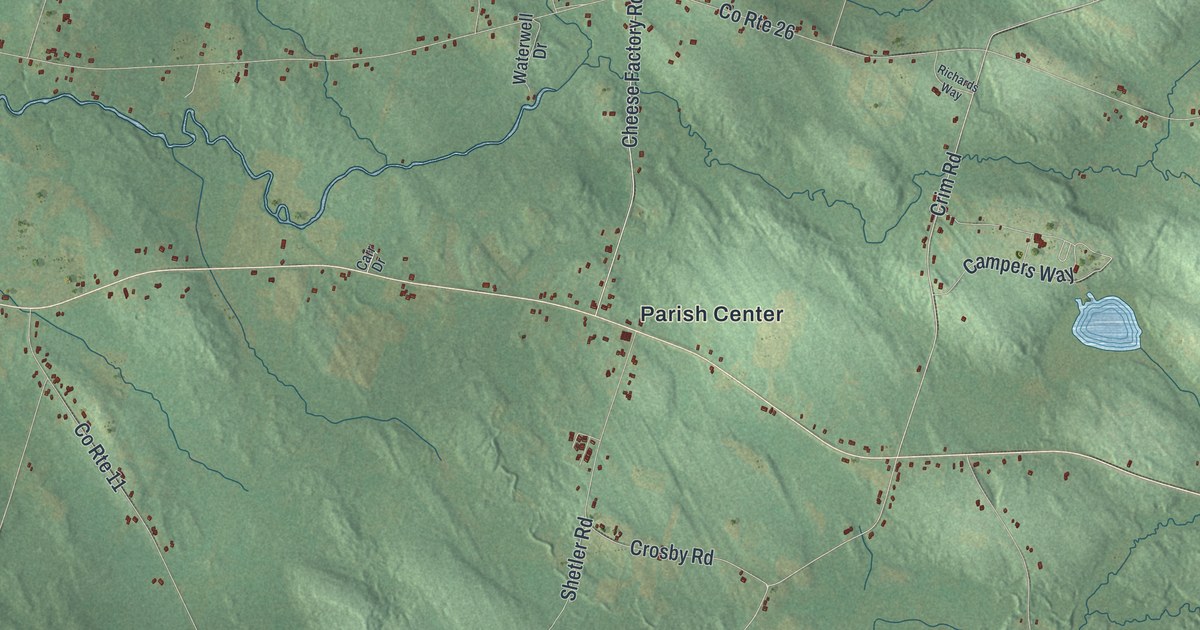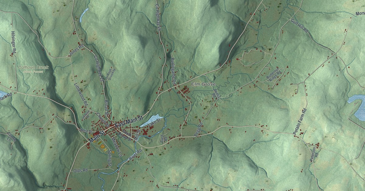
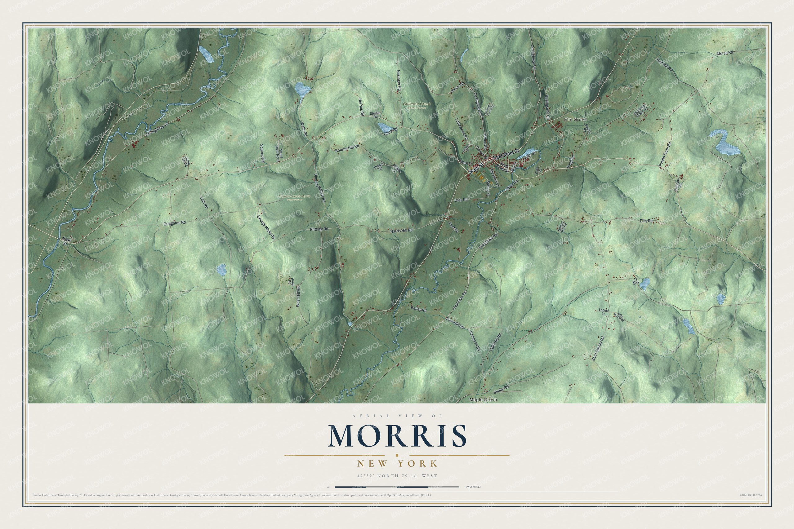
This beautifully detailed map of Morris, New York was created in 2026 using aerial imagery combined with modern topographical, census, street and landmark data. It’s a one-of-a-kind view of Morris that combines accurate data with a vintage aesthetic. The map shows every building in its true location, many of the roads carry their names, and the shaded topographic relief shows the shape of the land.
Explore an aerial view of Morris, New York
On the map you’ll find Maple Grove, Elm Grove, Calhoun Creek State Forest, and General Jacob Morris State Forest, along with Main Street, East Street, Side Road, River Road, Jones Road, and more. If you look closely you can even find your house accurately drawn in its correct location. Zoom in on the preview to look for yours.
Did You Know?
Settlers arrived around 1770, and Morris became its own town in 1849, carved out of Butternuts. The town honors General Jacob Morris. His father, Lewis Morris, signed the Declaration of Independence. Jacob received land here to make up for property he lost in the Revolution.
Take a closer look at the Morris map
Names on this map
These names are printed on this map.
Places: Maple Grove, Elm Grove, Calhoun Creek State Forest and General Jacob Morris State Forest.
Streets and roads: East Main Street, Main Street, East Side Road, River Road, Jones Road, County Highway 13, Church Street, East River Road, Ellis Road, Littlewood Road, Pittsley Road, Wells Road.
More street names, A to Z
Bailey Road, Bemis Road, Bourne Hill Road, Broad Street, Burlingame Road, Butternut Ridge Road, Camp Hill Road, Card Road, Clark Road, Connie Lane, County Highway 18, County Highway 49, Creighton Road, Dimock Hollow Road, Draper Road, East Street, Filor Hill Road, Frisk Road, George Wells Road, Gifford Hill Road, Gulf Hill Road, Harris Hill Road, Herrins Road, Hilsinger Road, Hoag Road, Jacobsen Road, Lake Misery Road, Lake Street, Leib Road, Light Hill Road, Locust Lane, Meadow Lane, Mill Street, Morse Road, Olds Road, Peet Road, Pegg Road, Peterson Road, Potato Farm Road, Pr Road - Driveway, Sampson Road, Shelly Road, South Broad Street, Spring Street, Squires Road, Starr Corner Road, Steiber Road, Sweet Road North, West Hill Road, West Street.
See it on a wall
The Morris map as a framed print. Swipe for more.


This beautifully detailed map of Morris makes an attractive addition to your office, library, or den, and it can even be used to teach children the geography and history of the area. It also makes a great gift for someone who left Morris and still calls it home. When you’re done exploring, click here to get your copy of the Morris map.