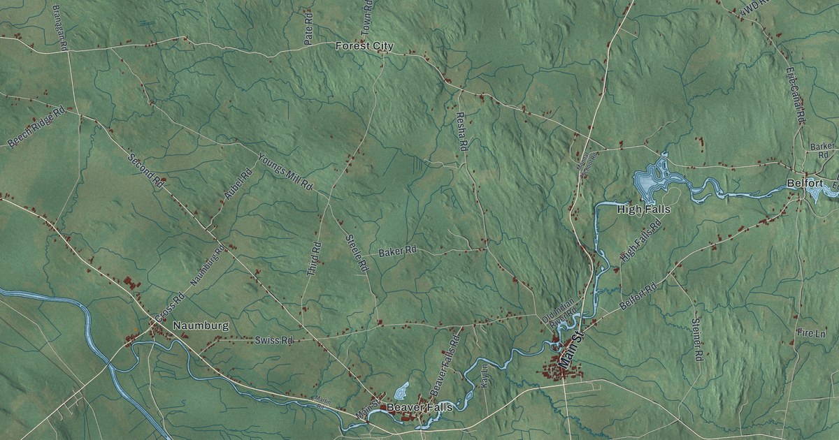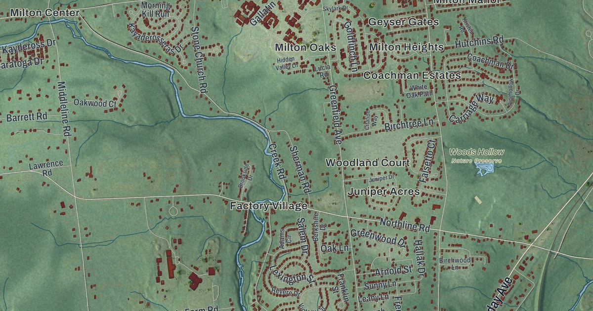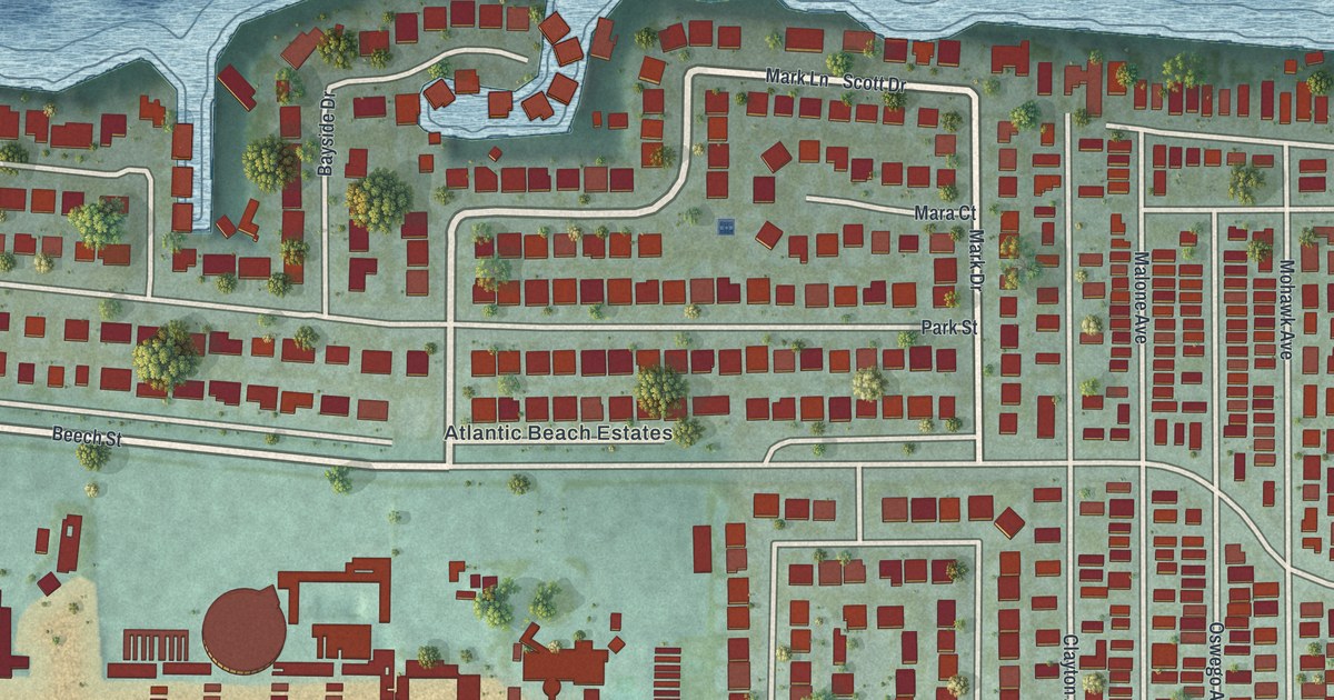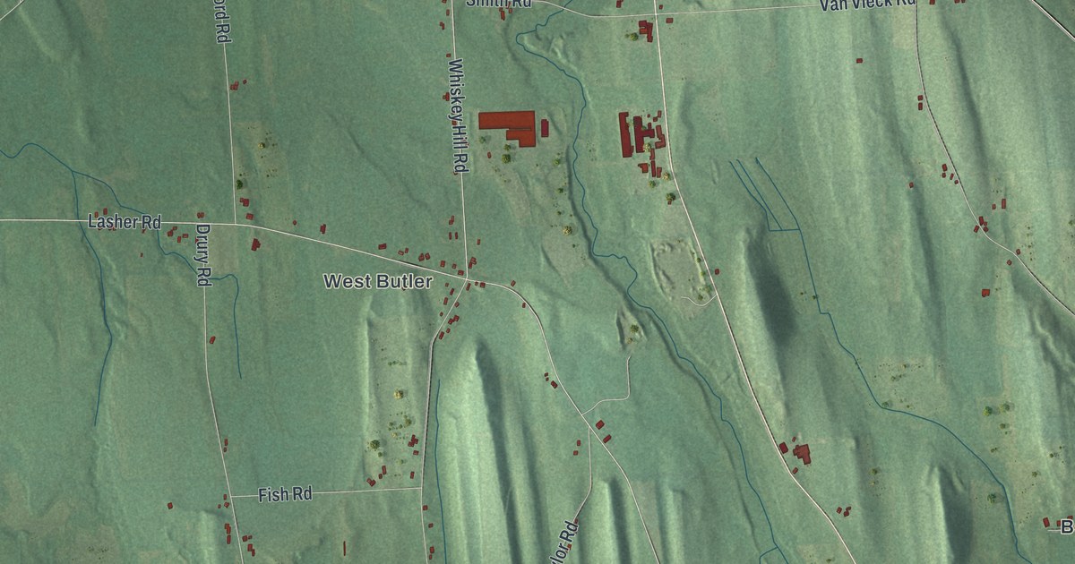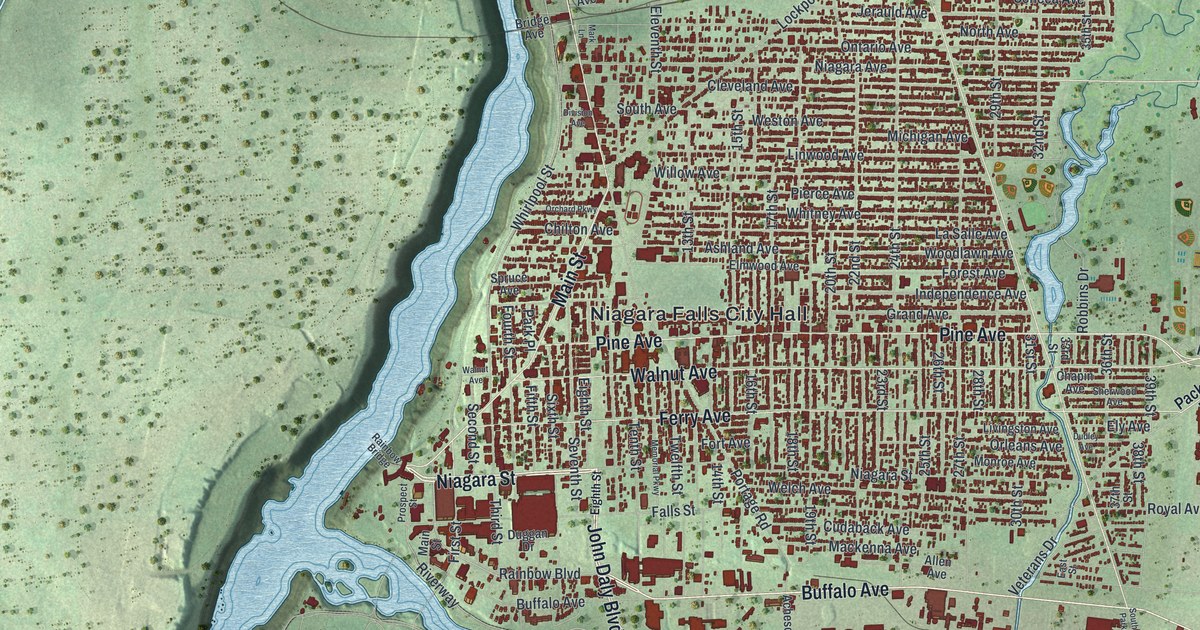
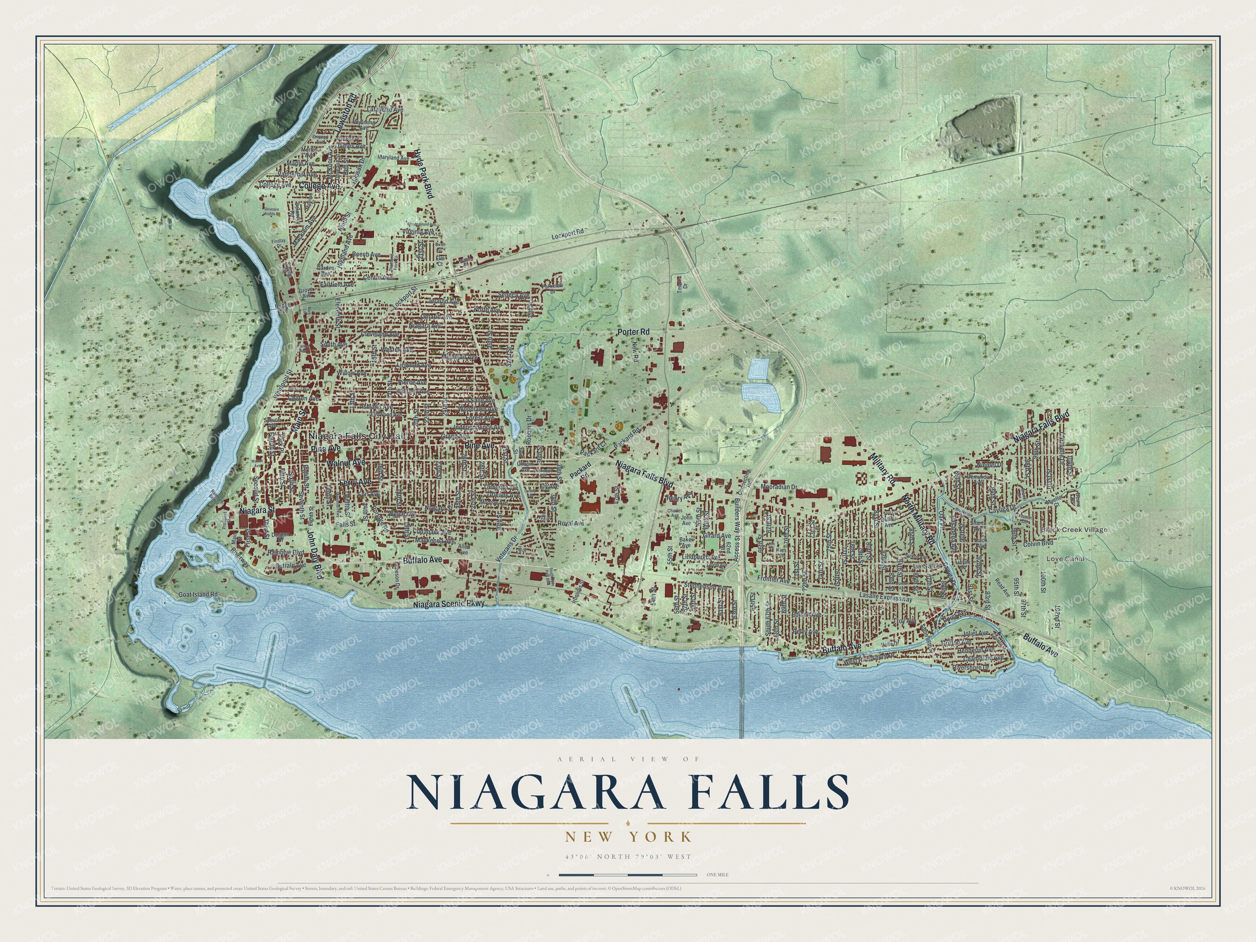
This beautifully detailed map of Niagara Falls, New York was created in 2026 using aerial imagery combined with modern topographical, census, street and landmark data. It’s a one-of-a-kind view of Niagara Falls that combines accurate data with a vintage aesthetic. The map shows every building in its true location, many of the roads carry their names, and the shaded topographic relief shows the shape of the land.
Explore an aerial view of Niagara Falls, New York
On the map you’ll find Niagara Falls City Hall, Love Canal, Black Creek Village, and La Salle, along with Buffalo Avenue, Niagara Street, Military Road, John Daly Boulevard, and more. If you look closely you can even find your house accurately drawn in its correct location. Zoom in on the preview to look for yours.
Did You Know?
The city is named for the famous falls it shares with Niagara Falls, Ontario. Scientists and businessmen began turning the Niagara River into electricity. That cheap hydroelectric power drew factories making paper, rubber, abrasives and petrochemicals. Many of their workers were immigrants.
Take a closer look at the Niagara Falls map
Names on this map
These names are printed on this map.
Places: Niagara Falls City Hall, Love Canal, Black Creek Village and La Salle.
Streets and roads: Buffalo Avenue, Niagara Street, Military Road, North Military Road, John Daly Boulevard, Main Street, Pine Avenue, Niagara Falls Boulevard, College Avenue, Hyde Park Boulevard, Niagara Scenic Parkway, Ferry Avenue.
More street names, A to Z
13th Street, 14th Street, 15th Street, 16th Street, 17th Street, 18th Street, 19th Street, 20th Street, 21st Street, 22nd Street, 23rd Street, 24th Street, 25th Street, 26th Street, 27th Street, 28th Street, 29th Street, 30th Street, 31st Street, 32nd Street, 33rd Street, 35th Street, 36th Street, 37th Street, 38th Street, 39th Street, 47th Street, 54th Street, 55th Street, 56th Street, 57th Street, 58th Street, 59th Street, 60th Street, 61st Street, 62nd Street, 63rd Street, 65th Street, 66th Street, 67th Street, 68th Street, 69th Street, 70th Street, 71st Street, 72nd Street, 73rd Street, 74th Street, 75th Street, 76th Street, 77th Street, 78th Street, 79th Street, 80th Street, 81st Street, 82nd Street, 83rd Street, 84th Street, 85th Street, 86th Street, 87th Street, 88th Street, 89th Street, 90th Street, 91st Street, 92nd Street, 93rd Street, 94th Street, 95th Street, 96th Street, 97th Street, 98th Street, 99th Street, 100th Street, 101st Street, 102nd Street, 104th Street, Access Street, Acheson Drive, Allen Avenue, Ashland Avenue, Baker Avenue, Beech Avenue, Bell Street, Birch Court, Bollier Avenue, Brandi Drive, Bridge Avenue, Brookside Drive, Builders Way, Caravelle Drive, Cayuga Drive, Centre Avenue, Champlain Avenue, Chapin Avenue, Charles Avenue, Chilton Avenue, Cleveland Avenue, Colvin Boulevard, Connecting Road, Council Street, Cudaback Avenue, Delancey Road, Demunda Avenue, Deuro Drive, Deveaux Street, Deveaux Woods Drive, Devlin Avenue, Diamond Park Lane, Division Avenue, Dudley Avenue, Duggan Drive, East Street, Edison Avenue, Eighth Street, Eleventh Street, Elm Court, Elmwood Avenue, Ely Avenue, Fairfield Avenue, Falls Street, Fifth Street, Findlay Drive, First Street, Forest Avenue, Fort Avenue, Fourth Street, Frontier Avenue, Garden Avenue, Garrett Avenue, Girard Avenue, Goat Island Road, Grand Avenue, Griffon Avenue, Grove Avenue, Hennepin Avenue, Henry Avenue, Highland Avenue, Hudson Drive, Independence Avenue, Iroquois Street, James Avenue, Jayne Place, Jerauld Avenue, John Avenue, Joliet Avenue, Kies Court, Kies Street, Krull Parkway, Lafayette Avenue, La Salle Avenue, Lasalle Expressway, Lewiston Road, Lindbergh Avenue, Linwood Avenue, Livingston Avenue, Lockport Road, Lockport Street, Luick Avenue, Mackenna Avenue, Macklem Avenue, Madison Street, Maple Avenue, Mark Lane, Maryland Avenue, Mason Drive, McKoon Avenue, Memorial Parkway, Michigan Avenue, Monroe Avenue, Mooradian Drive, Morley Avenue, Mueller Court, Munson Avenue, New Road, Niagara Avenue, Niemel Drive, Ninth Street, North Avenue, Oak Place, Ontario Avenue, Orchard Parkway, Orleans Avenue, Ormond Avenue, Packard Court, Packard Road, Park Place, Parkview Drive, Pasadena Avenue, Perry Avenue, Pierce Avenue, Point Avenue, Portage Road, Porter Road, Prospect Street, Rainbow Boulevard, Rainbow Bridge, Read Avenue, Rhode Island Avenue, Rivershore Drive, Riverway, Robbins Drive, Royal Avenue, Second Street, Seneca Avenue, Seventh Street, Shantz Avenue, Sherwood Avenue, Sixth Street, South 67th Street, South 86th Street, South Avenue, South Hyde Park Boulevard, Spring Street, Spruce Avenue, Stephenson Avenue, Tenth Street, Third Street, Tmark Drive, Troy Avenue, Twelfth Street, Valle Drive, Vanderbilt Avenue, Veterans Drive, Virginia Avenue, Walnut Avenue, Welch Avenue, Weston Avenue, West Rivershore Drive, Whirlpool Street, Whitney Avenue, Willard Avenue, Willow Avenue, Witkop Avenue, Woodlawn Avenue, Wyoming Avenue.
See it on a wall
The Niagara Falls map as a framed print. Swipe for more.


This beautifully detailed map of Niagara Falls makes an attractive addition to your office, library, or den, and it can even be used to teach children the geography and history of the area. It also makes a great gift for someone who left Niagara Falls and still calls it home. When you’re done exploring, click here to get your copy of the Niagara Falls map.