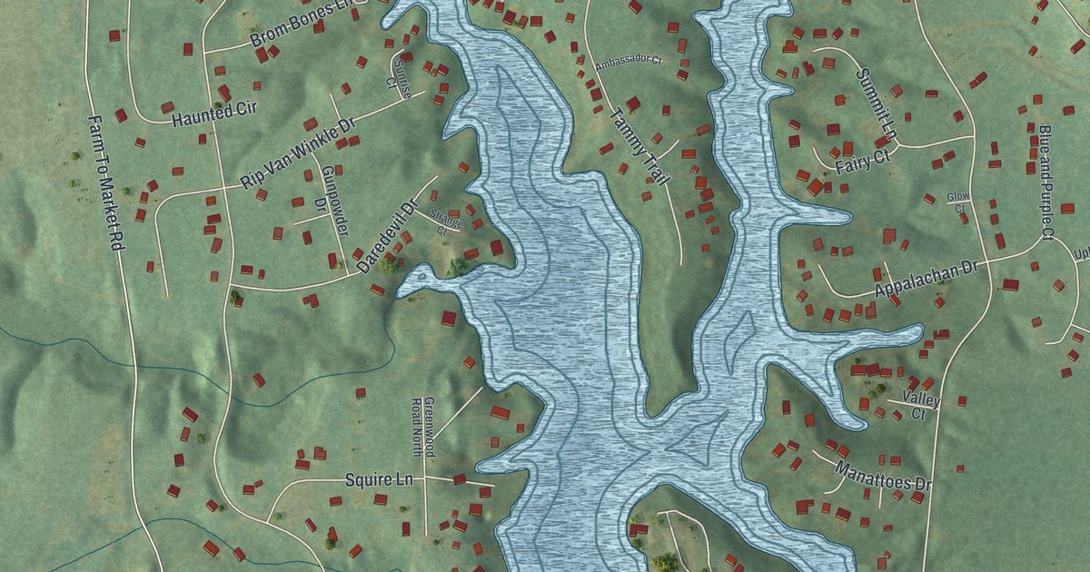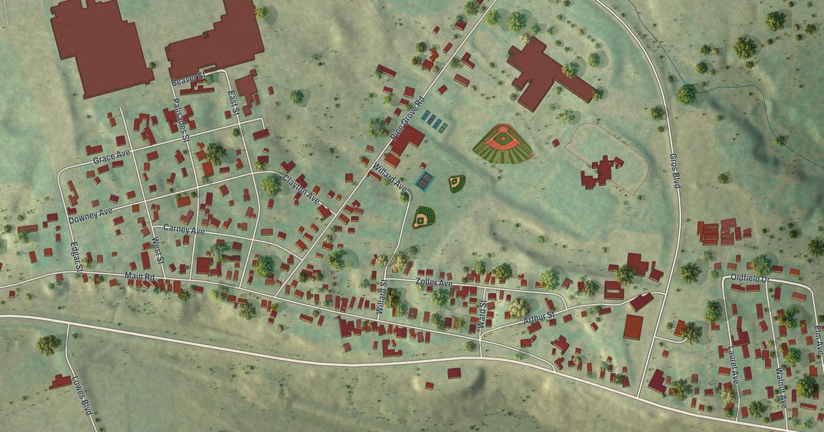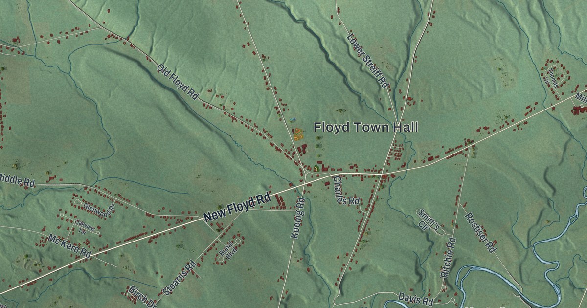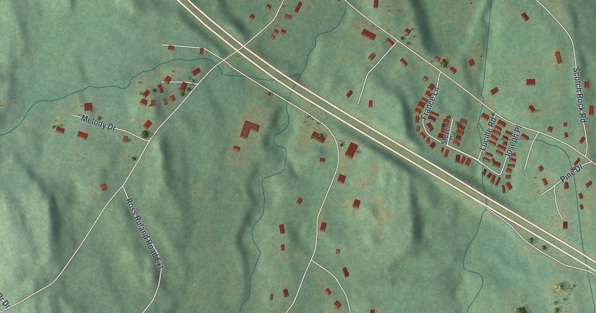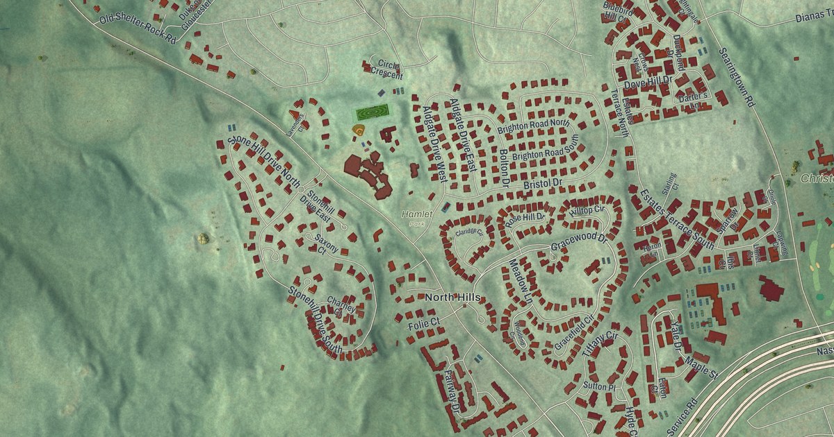
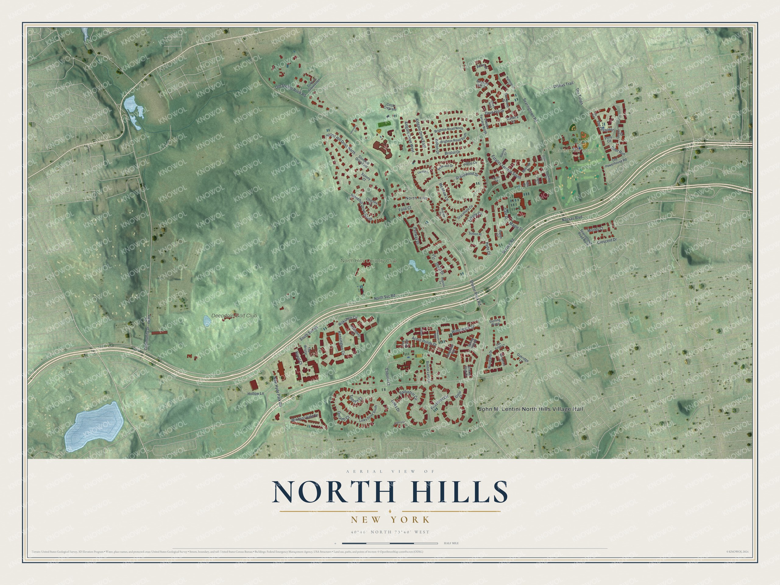
This beautifully detailed map of North Hills, New York was created in 2026 using aerial imagery combined with modern topographical, census, street and landmark data. It’s a one-of-a-kind view of North Hills that combines accurate data with a vintage aesthetic. The map shows every building in its true location, many of the roads carry their names, and the shaded topographic relief shows the shape of the land.
Explore an aerial view of North Hills, New York
On the map you’ll find John M. Lentini North Hills Village Hall, Christopher Morley Park, and Hamlet Park, along with Svc Road, Shelter Rock Road, Gracewood Drive, Yale Drive, and more. If you look closely you can even find your house accurately drawn in its correct location. Zoom in on the preview to look for yours.
Did You Know?
North Hills became a village in 1929. It incorporated as a tax haven, so the Town of North Hempstead could not raise taxes on property there. Becoming a village also gave it home rule powers. The name came from its spot in northern Nassau County and its very hilly ground.
Take a closer look at the North Hills map
Names on this map
These names are printed on this map.
Places: John M. Lentini North Hills Village Hall, Christopher Morley Park, Hamlet Park, North Hills, Deepdale Golf Club and North Hills Country Club.
Streets and roads: North Svc Road, Shelter Rock Road, Gracewood Drive, Yale Drive, Service Road, Tiffany Circle, South Svc Road, Nassau Boulevard, Links Drive, Searingtown Road, Stonehill Drive South, Bristol Drive.
More street names, A to Z
Acorn Ponds Drive, Aerie Court, Aldgate Drive East, Aldgate Drive West, Augusta Lane, Baltustrol Circle, Bluebird Hill Court, Bolton Drive, Bonnie Lynn Court, Brighton Road North, Brighton Road South, Center Court, Charney Court, Chestnut Hill, Circle Crescent, Claridge Circle, Community Drive, Crescent Drive, Cricket Club Drive, Crows Nest, Darter's Lane, Deer Run, Dianas Trail, Dorado Court, Doral Court, Doral Drive, Dove Hill Drive, Duckpond Drive, Duke of Gloucester, Eaton Court, Elk Path, Esquire Court, Estates Terrace North, Estates Terrace South, Fairway Drive, Firestone Circle, Folie Court, Fox Ridge, Gracefield Circle, Hathaway Lane, Heron Lane, Hilltop Circle, Hollow Lane, Hyde Court, Ibis Court, Kensington Circle, Lapwing Court, Lavenders Court, Links Drive South, Linnet Court, Maple Street, Meadow Lane, Morley Court, New Hyde Park Road, Nightingale Court, Oakridge Lane, Oak Ridge Lane, Oldfield, Old Powerhouse Road, Old Shelter Rock Road, Oriole Court, Par Court, Pheasant Run, Pony Circle, Rose Hill Drive, Royal Court, Saxony Court, Searingtown Road North, Sparrow Drive, Spring Hollow, Starling Court, Sterling Plaza, Stonehill Drive East, Stone Hill Drive North, Sutton Place, The Bristal, The Crescent, The Tulips, Toftree Court, Turnberry Lane, Valley Road, Wilkshire Circle, Wimbledon Drive, Windsor Gate Drive, Woodcrest Drive, Woodend Circle, Woodland Drive.
See it on a wall
The North Hills map as a framed print. Swipe for more.


This beautifully detailed map of North Hills makes an attractive addition to your office, library, or den, and it can even be used to teach children the geography and history of the area. It also makes a great gift for anyone who grew up in North Hills or moved away. When you’re done exploring, click here to get your copy of the North Hills map.