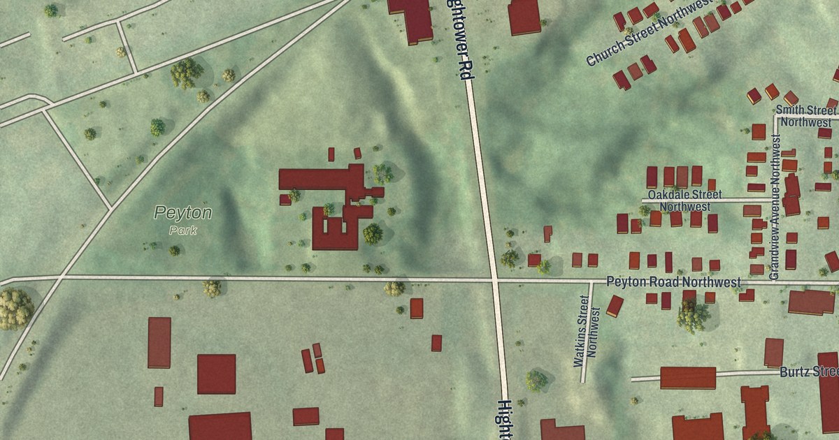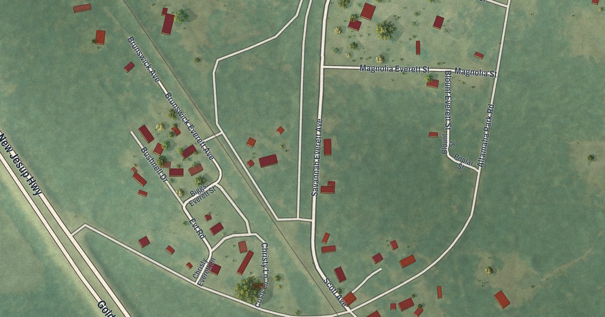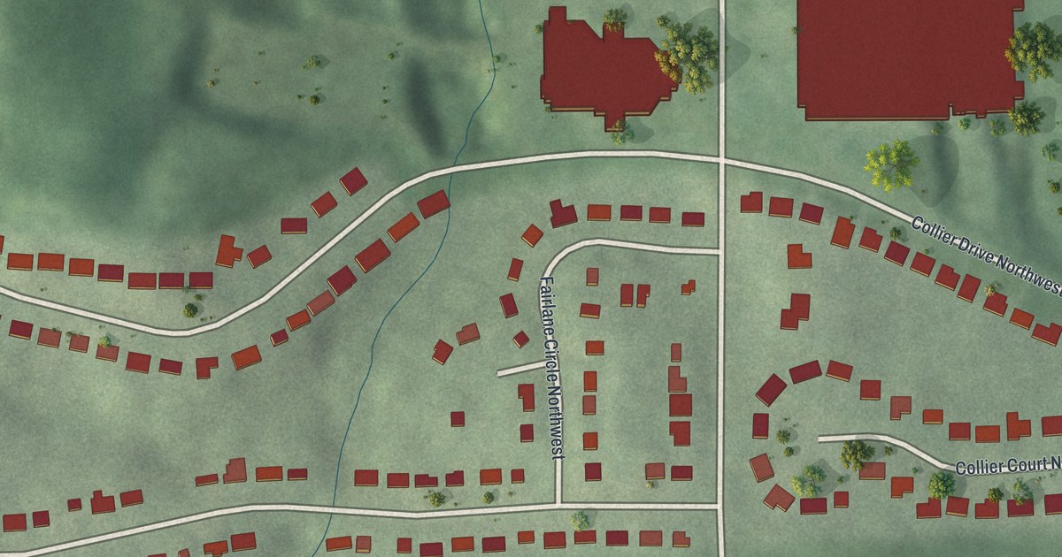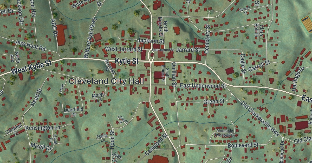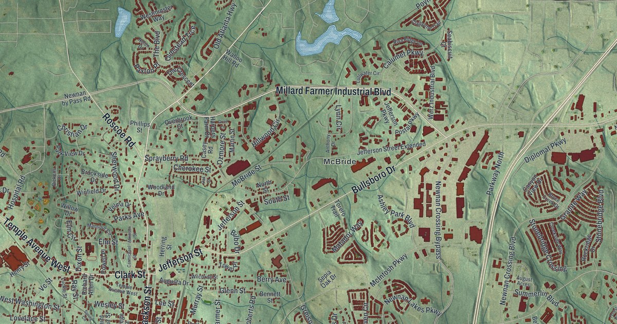
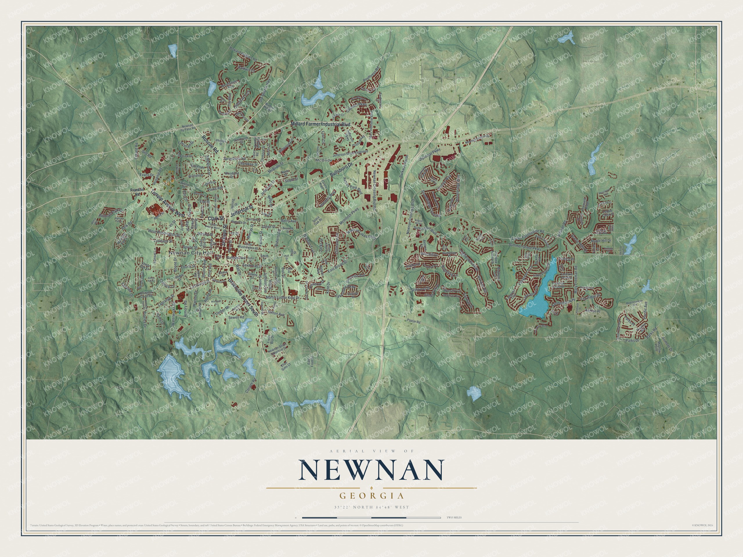
This beautifully detailed map of Newnan, Georgia was created in 2026 using aerial imagery combined with modern topographical, census, street and landmark data. It’s a one-of-a-kind view of Newnan that combines accurate data with a vintage aesthetic. The map shows every building in its true location, many of the roads carry their names, and the shaded topographic relief shows the shape of the land.
Explore an aerial view of Newnan, Georgia
On the map you’ll find Newnan City Hall and McBride, along with Greenville Street, Temple Avenue, Clark Street, Jackson Street, and more. If you look closely you can even find your house accurately drawn in its correct location. Zoom in on the preview to look for yours.
Did You Know?
Newnan began as Bullsboro, a village settled in 1827 a few miles to the northeast. In 1828 the Baptists bought land at the present site and built a church. Other churches followed, and soon the whole village moved. The new town was named for General Daniel Newnan, a War of 1812 veteran. That’s from the 1940 WPA guide to Georgia.
Take a closer look at the Newnan map
Names on this map
These names are printed on this map.
Places: Newnan City Hall, McBride, Medallion Park and Hood Park.
Streets and roads: Greenville Street South, Temple Avenue West, Clark Street, Jackson Street, Millard Farmer Industrial Boulevard, Jefferson Street, Bullsboro Drive, Roscoe Road, East Broad Street, Hospital Road, Martin Luther King Drive, Milton Avenue.
More street names, A to Z
Airmont Drive, Alpine Drive, Anthony Drive, Arlington Court Road, Armory Road, Ashley Oaks Lane, Ashley Park Boulevard, Ashton Place, Ashville Place, Atkinson Street, August Acres, Augusta Drive, Bailey Drive, Baldwin Court, Ball Street, Belk Road, Belltree Circle, Belmont Park Drive, Bennett Street, Berry Avenue, Bilbo Drive, Boone Drive, Briandwood Drive, Briar Grove, Brightling Lane, Brookside Drive, Brown Ridge Drive, Bryce Creek Drive, Calumet Parkway, Camden Road, Canyon View Drive, Carlisle Street, Carmichael Street, Casey Road, Chandler Pond Road, Cherokee Street, Christian Drive, Claiborne Trail, Cliffhaven Circle, Cofield Road, College Street, Colonial Drive, Corbel Way, Corinth Road, Cottage Drive, Creekside Way, Davis Street, Delaware Way, Dewey Street, Diplomat Parkway, Dixon Street, Dodson Street, East Front Street, Eastlake Landing, East Newnan Road, East Washington Street, Ellen Sims Court, Elm Circle, Elm Street, Evans Drive, Fairgreen Trail, Fairgreen Trce, Fairview Drive, Fairway Drive, Farmer Street, First Avenue, Forest Point, Fourth Street, Fox Ridge Drive, Franklin Road, Freeman Forest Drive, Fresh Bru Drive, Ginger Gold Drive, Glenn Street, Granite Way, Greison Trail, Grier Lane, Harpers Farm Drive, Haynie Street, Heery Road, Henry Street, Herring Street, Highland Park Drive, Highwoods Parkway, Hill Street, Hillwood Circle, Hollis Heights, Horizon Hill, Howard Hughes Road, Hull Street, Hunterian Place, Inverness Avenue, Jacks Drive, Jane Lane, Jefferson Parkway, Jefferson Street Extended, Johnson Avenue, Kent Drive, Kingsbrook Circle, Lagrange Street, La Grange Street, Lake Forest Drive, Lake Shore Drive, Lakeshore Parkway, Lake Street, Lee Street, Linden Drive, Lismore Way, Long Place, Long Street, Lovelace Street, Lower Fayetteville Road, Luckie Street, Lullwater Circle, Lynn Circle, Mansour Circle, Maple Hill Drive, Martin Street, Mary Freeman Road, Matador Way, Mayhaw Point, McBride Street, McIntosh Parkway, Mediterranean Avenue, Middleton Trce, Mitchell Street, Mosswood Trail, Murray Street, Newnan by Pass Road, Newnan Crossing Boulevard, Newnan Crossing Bypass, Newnan Lakes Parkway, Newnan South Industrial Drive, Newnan Station Drive, Nimmons Street, Nolen Drive, North Street, Oak Park Square, Oak Street, Old Atlanta Highway, Olmstead Trce, Overbrook Court, Overlook Approach, Ozmore Street, Pacific Avenue, Parks Avenue, Parks Drive, Parks Place, Parks Road, Park View Drive, Parkway North, Paul Street, Paxton Place, Pebble Creek Drive, Pecan Crescent, Pecan Trce, Perry Street, Pheasant Ridge, Phillips Street, Pickens Drive, Pine Crescent, Pine Grove Circle, Pinehaven Drive, Pinelea Drive, Pinson Street, Pope Street, Poplar Road, Portico Place, Postal Parkway, Powell Place, Poythress Road, Prescott Court, Preserve Drive, Ray Street, Reese Street, Richard Allen Drive, Riva Ridge Lane, Roberts Road, Rockridge Drive, Saint Charles Place, Saint Clair Street, Salbide Avenue, Savannah Street, Scenic Hills Drive, Seabiscuit Court, Second Avenue, Selt Road, Sepia Oak Drive, Sewell Road, Shady Oak Lane, Sherwood Drive, Smith Street, South Street, Southwind Circle, Southwind Lane, Spence Avenue, Sprayberry Road, Spring Circle, Spring Street, Stillwood Drive, Stonebridge Boulevard, Stonebridge Crossing, Sullivan Road, Summer Grove Parkway, Summerlin Boulevard, Sunset Lane, Tahoe Drive, Tapestry Lane, The Boulevard, The Crescent, Timber Lane, Timber Ml, Torero Trail, Tower Place, Vanderbilt Parkway, Vc Street, Velma Drive, Village Park Drive, Virginia Avenue, Wahoo Hill Road, Wall Street, Waterworks Road, Watson Drive, Weldon Way, Werz Industrial Boulevard, Wesley Street, Westgate Park Lane, Westhill Drive, Westminster Way, West Washington Street, Wilcoxon Street, Williams Pride Way, Willow Drive, Winfield Drive, Woodbine Circle, Woodland Drive, Woodlane Drive, Woodrow Place Road.
See it on a wall
The Newnan map as a framed print. Swipe for more.


This beautifully detailed map of Newnan makes an attractive addition to your office, library, or den, and it can even be used to teach children the geography and history of the area. It also makes a great gift for anyone who grew up in Newnan or moved away. When you’re done exploring, click here to get your copy of the Newnan map.