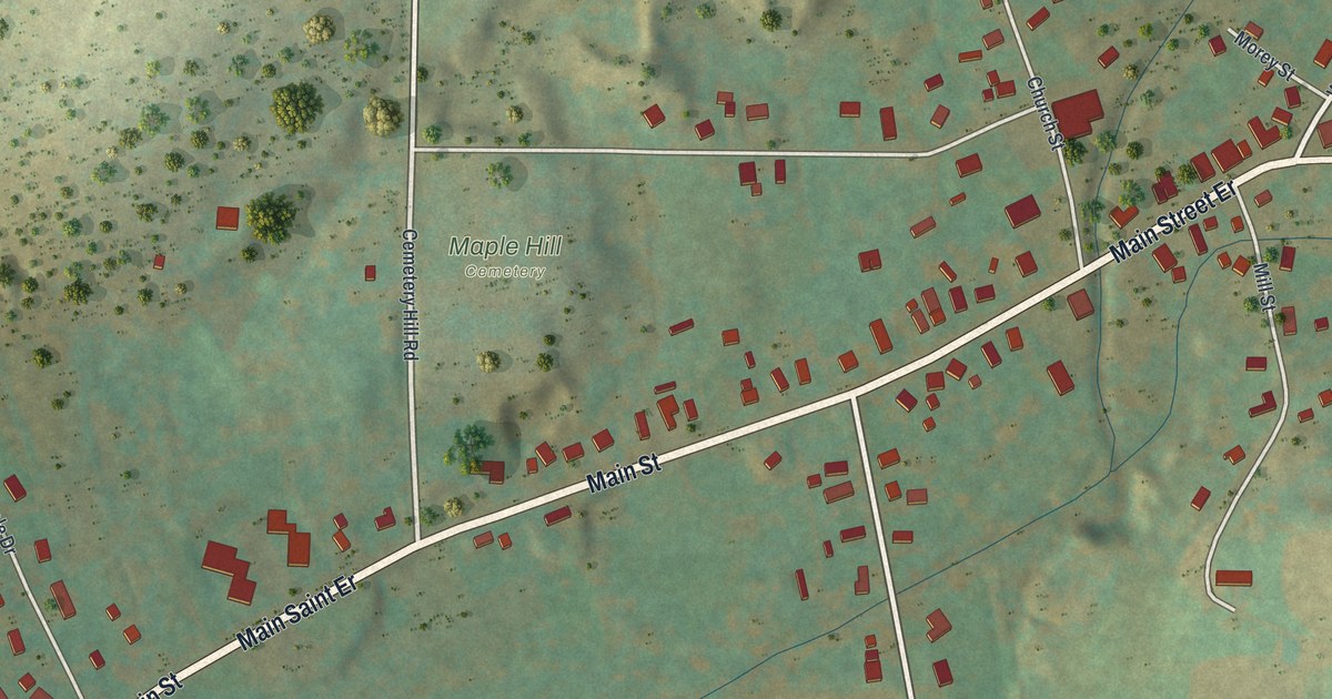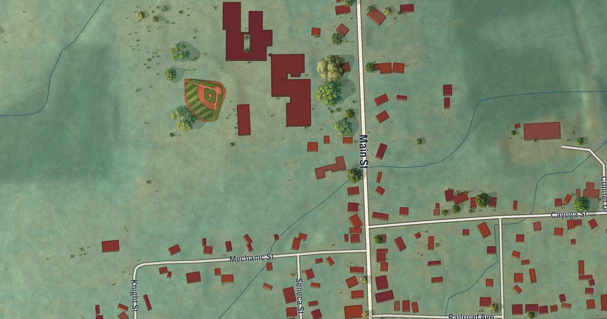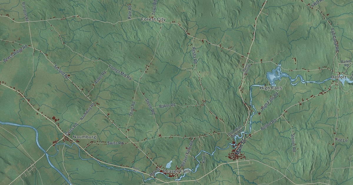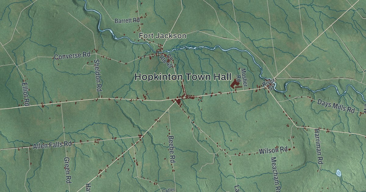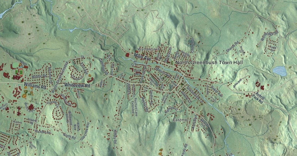
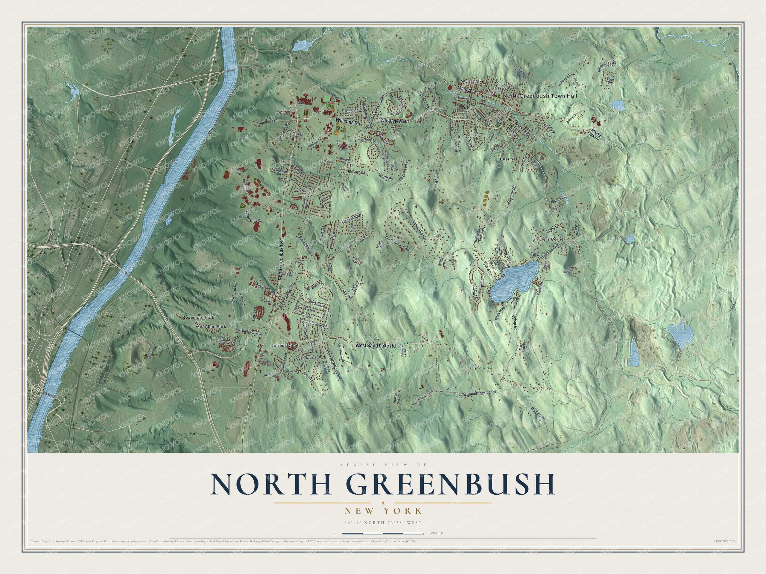
This beautifully detailed map of North Greenbush, New York was created in 2026 using aerial imagery combined with modern topographical, census, street and landmark data. It’s a one-of-a-kind view of North Greenbush that combines accurate data with a vintage aesthetic. The map shows every building in its true location, many of the roads carry their names, and the shaded topographic relief shows the shape of the land.
Explore an aerial view of North Greenbush, New York
On the map you’ll find North Greenbush Town Hall, Snyders Corner, Defreestville, Eastmor, Rosemont Park, and Van Allen Park, along with Greenbush Road, Sand Lake Road, Main Avenue, Whiteview Road, and more. If you look closely you can even find your house accurately drawn in its correct location. Zoom in on the preview to look for yours.
Did You Know?
The town’s hamlet of Defreestville was first called Blooming Grove. Mail kept getting mixed up with another Blooming Grove in Orange County. Around 1830 the hamlet took a new name. It honored David M. De Freest, whose family kept a tavern there.
Take a closer look at the North Greenbush map
Names on this map
These names are printed on this map.
Places: North Greenbush Town Hall, Snyders Corner, Defreestville, Eastmor, Rosemont Park, Van Allen Park and Wynantskill.
Streets and roads: North Greenbush Road, West Sand Lake Road, Main Avenue, Whiteview Road, Williams Road, Pershing Avenue, Kent Place, Fly Road, Mammoth Spring Road, Troy Avenue, Bloomingrove Drive, Snyders Lake Road.
More street names, A to Z
Agway Drive, Albro Avenue, Arbor Drive, Arden Lane, Ashley Way, Atlantic Avenue, Audrey Lane, Averill Park Road, Baker Avenue, Best Road, Birchwood Hills Drive, Brinker Drive South, Brookside Avenue, Buckbee Road, California Avenue, Cameron Road, Camp Scully Way, Church Street, Clearview Terrace, Cole Lane, Cook Street, Coyote Lane, Crescent Terrace, Crimson Circle, Dana Avenue, Deer Haven Drive, Diamond Avenue, Dobert Court, Dodge Street, Douglas Street, East Avenue, Eastview Terrace, Edwards Road, Elm Court, Elward Road, Fairview Avenue, Francis Drive, Franklin Avenue, Gardner Road, Geiser Road, Geneva Boulevard, Glen Drive, Glenmore Road, Glenwood Road, Global Vw, Grace Court, Green Hill Road, Greenwood Road, Haig Avenue, Haywood Lane, Heritage Hill Drive, Hidley Avenue, Hidley Road, Hidley Road Extended, Higgins Road, Highview Court, Hilda Court, Holland Drive, Indian Pipe Drive, Jennifer Drive, Jordan Road, Judd Lane, Koon Street, Kuhl Boulevard, Lake Shore Drive, Lake View Avenue, Lape Road, Laura Lane, Linda Lane, Loomis Road, Lorenzo Drive, Ludlow Lane, Macha Lane, Mara Drive, Marion Avenue, Mary View Drive, Mayfair Road, Mazoway Avenue, Meadow Boulevard, Meadow Drive, Michaels Way, Middle Road, Miller Road, Mohamed Road, Montesorri Place, Moore Way, Morner Road, Mountainview Terrace, North Drive, Northern Court, North Road, Northview Avenue, Oak Creek Way, Oak Street, Olga Lane, Paladino Lane, Palisades Way, Partition Street Extended, Peck Road, Pheasant Lane, Phillip Street, Pine Court, Pine Street, Powell Street, Red Oak Lane, Reichard Lane, Reichard Lane Extended, Reynolds Road, Rock Cut Road, Rossi Way, Sagendorf Lane, Saint Johns Terrace, Salisbury Road, Sharpe Road, Sliters Lane, South Drive, Stacey Way, Stephen Drive, Sterling Ridge Road, Stone Clay Road, Streamview Lane, Sunset Boulevard, Sylvan Lane, Tansy Court, Teliska Avenue, Thomas Way, Thompson Court, Tiffany Lane, Todd Drive, Valley View Boulevard, Van-Alstyn Drive, Van Allen Way, Van Dyke Drive South, Van Leuvan Drive South, Van Winkle Drive, Waldron Lane, Wanda Court, Washington Avenue, Water Street, West Care Lane, Windy Way, Winter Street Extended, Woodbury Hill, Woodland Road, Woodridge Road, Wyla Way, Zelenke Drive, Zermatt Drive.
See it on a wall
The North Greenbush map as a framed print. Swipe for more.


This beautifully detailed map of North Greenbush makes an attractive addition to your office, library, or den, and it can even be used to teach children the geography and history of the area. It also makes a great gift for someone who left North Greenbush and still calls it home. When you’re done exploring, click here to get your copy of the North Greenbush map.