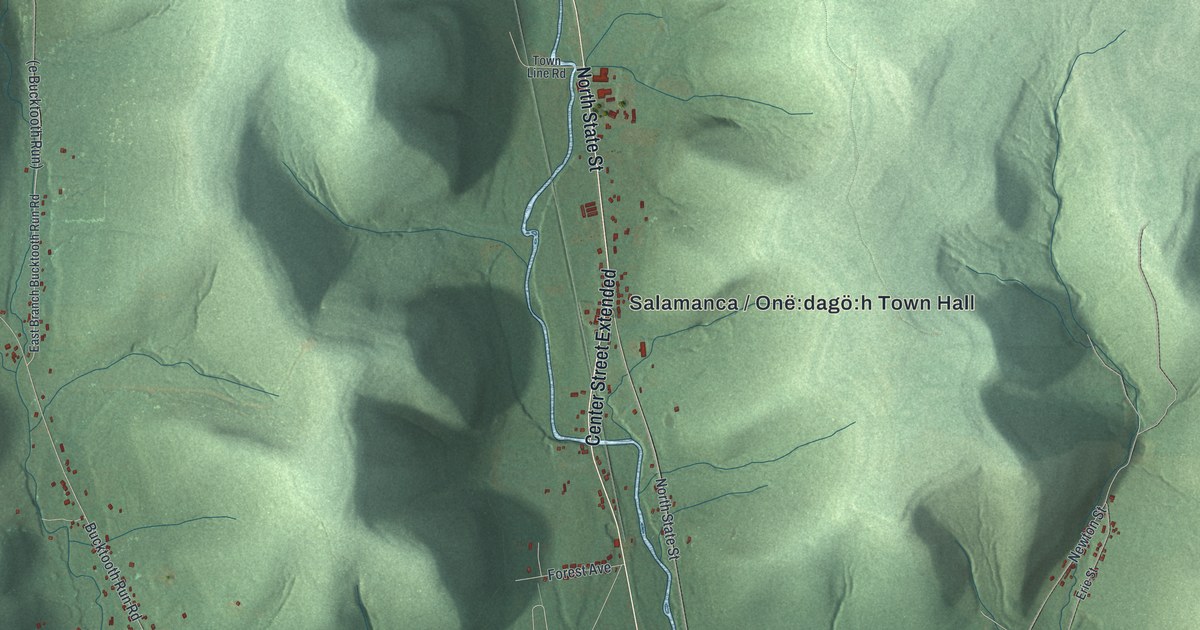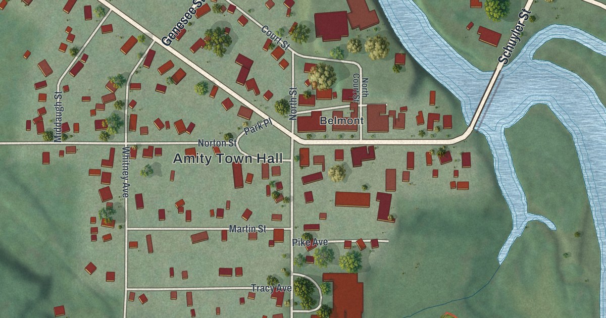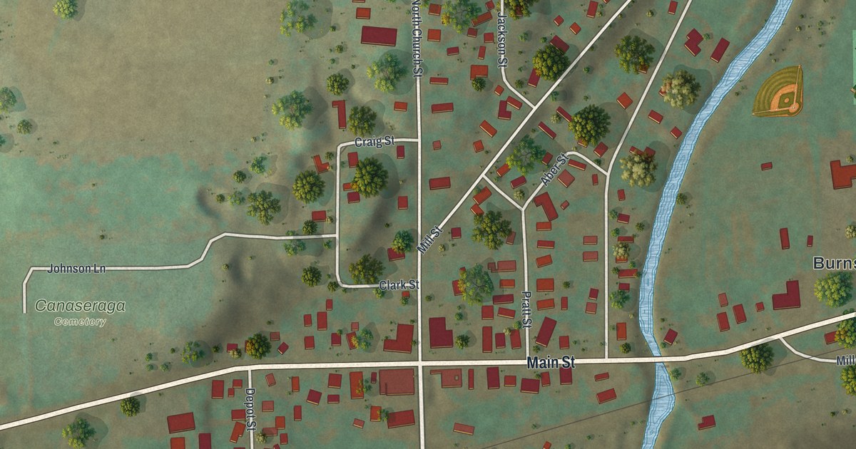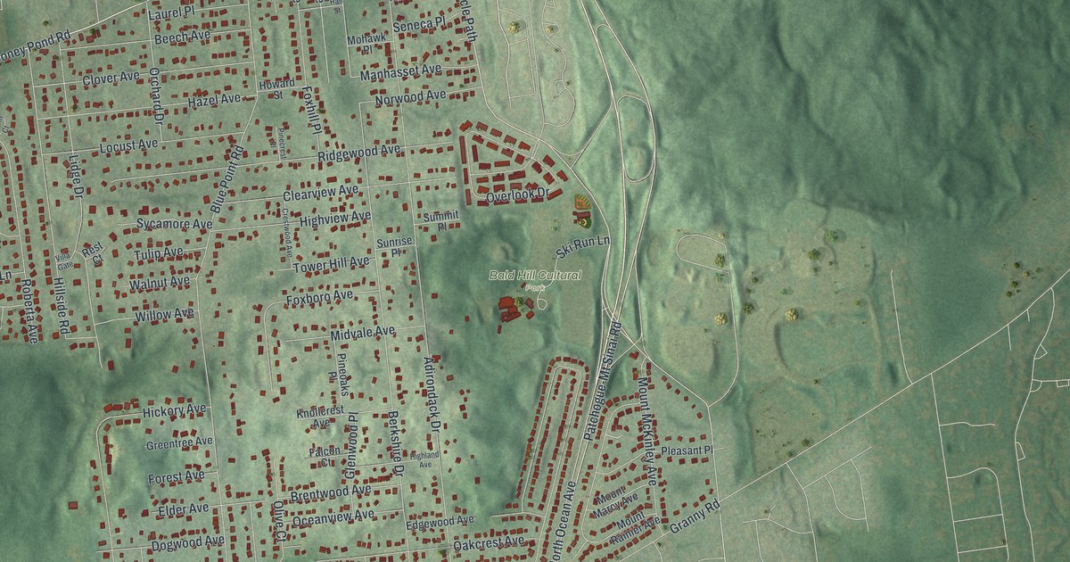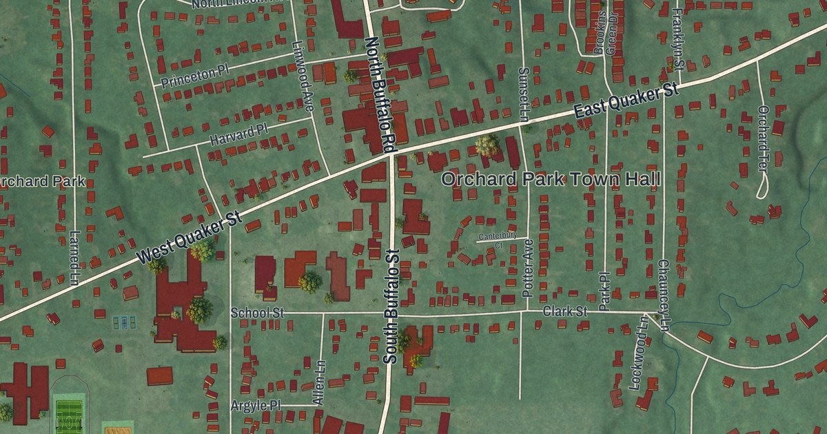
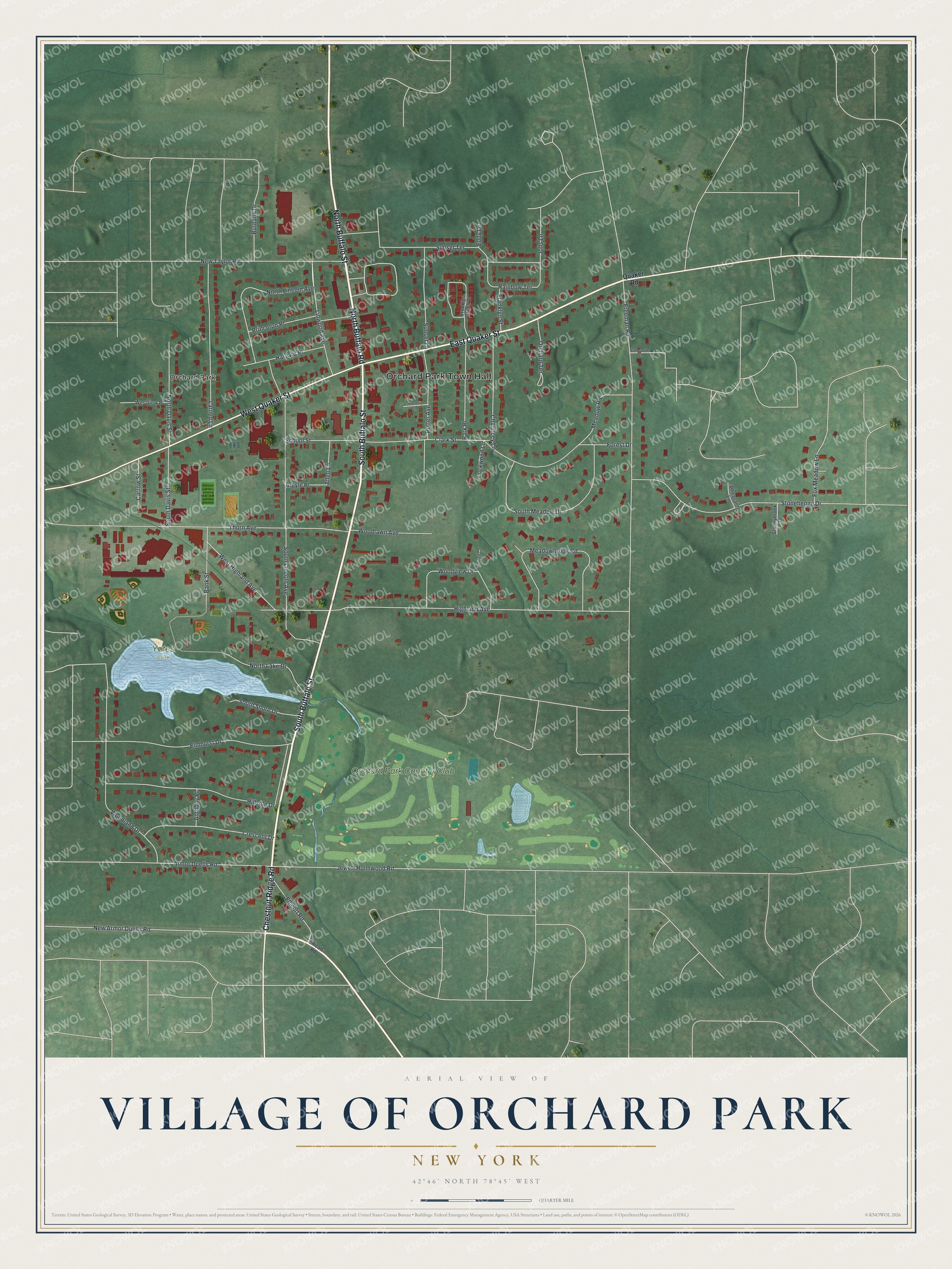
This beautifully detailed map of the Village of Orchard Park, New York was created in 2026 using aerial imagery combined with modern topographical, census, street and landmark data. It’s a one-of-a-kind view of the Village of Orchard Park that combines accurate data with a vintage aesthetic. The map shows every building in its true location, many of the roads carry their names, and the shaded topographic relief shows the shape of the land.
Explore an aerial view of the Village of Orchard Park, New York
On the map you’ll find Orchard Park Town Hall and Yates Park, along with Buffalo Street, Buffalo Road, Quaker Street, Chestnut Ridge Road, and more. If you look closely you can even find your house accurately drawn in its correct location. Zoom in on the preview to look for yours.
Did You Know?
Quaker settlers founded the village in 1803, and it was first known as Potters Corners. A local schoolteacher proposed the name Orchard Park, after the many orchards around it. The town of East Hamburg later took the same name. Quaker homes here sheltered people escaping slavery on the Underground Railroad.
Take a closer look at the Village of Orchard Park map
Names on this map
These names are printed on this map.
Places: Orchard Park Town Hall, Yates Park, Orchard Park and Orchard Park Country Club.
Streets and roads: South Buffalo Street, North Buffalo Road, North Buffalo Street, East Quaker Street, West Quaker Street, Chestnut Ridge Road, Forest Drive, West Highland Avenue, Freeman Road, Jewett Holmwood Road, Highland Avenue, South Lincoln Avenue.
More street names, A to Z
Allen Lane, Anthony Place, Argyle Place, Armor Duells Road, Bank Street, Brookins Green Drive, Burbank Drive, Canterbury Court, Carrow Street, Chauncey Lane, Clark Street, Crescent Drive, Eddy Lane, Ellicott Road, Elmhurst Drive, Fox Meadow Lane, Franklyn Street, Harvard Place, Hillside Drive, Jolls Lane, Lancaster Lane, Larned Lane, Linwood Avenue, Lockwood Lane, Meadowbrook Road, Meadow Road, New Armor Duells Road, New Taylor Road, North Davis Street, North Lake Drive, North Lincoln Avenue, Orchard Terrace, Park Place, Pheasant Lane, Potter Avenue, Princeton Place, Quaker Road, Rainbow Terrace, School Street, South Davis Street, South Meadow Drive, South Shore Drive, Stonehenge Drive, Stoneybrook Drive, Sunset Lane, Sunset Terrace, Thorn Avenue, Westview Place, Woodland Drive, Woodlawn Avenue, Woodview Court, Woodview Drive.
See it on a wall
The Orchard Park map as a framed print. Swipe for more.


This beautifully detailed map of the Village of Orchard Park makes an attractive addition to your office, library, or den, and it can even be used to teach children the geography and history of the area. It also makes a great gift for someone who left the Village of Orchard Park and still calls it home. When you’re done exploring, click here to get your copy of the Village of Orchard Park map.