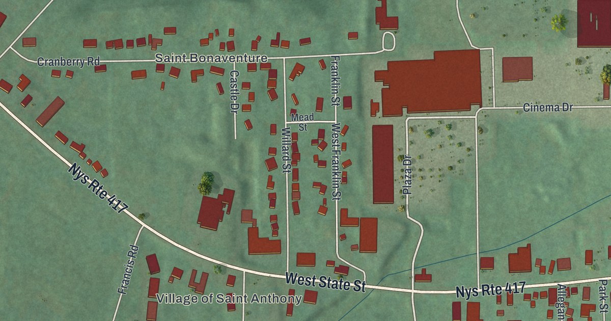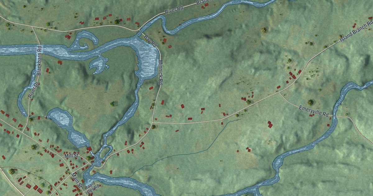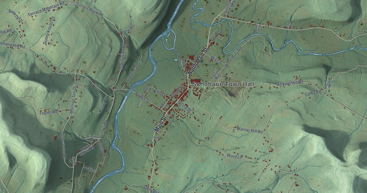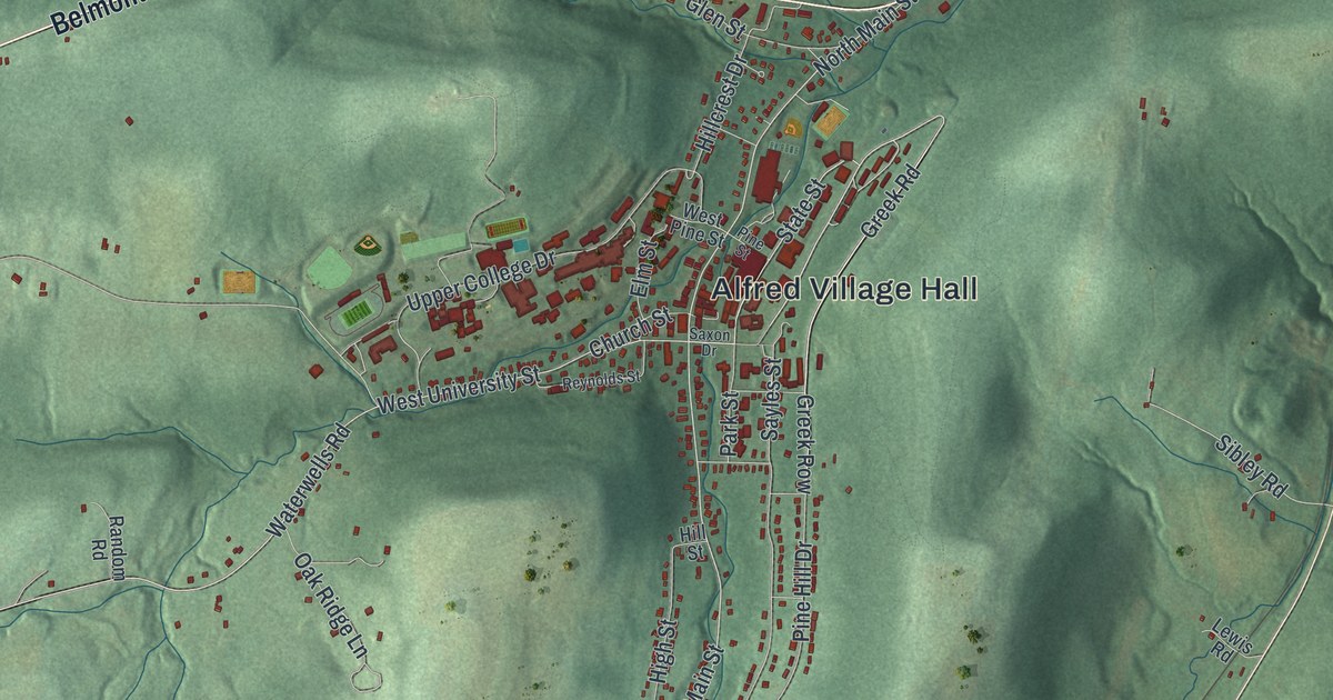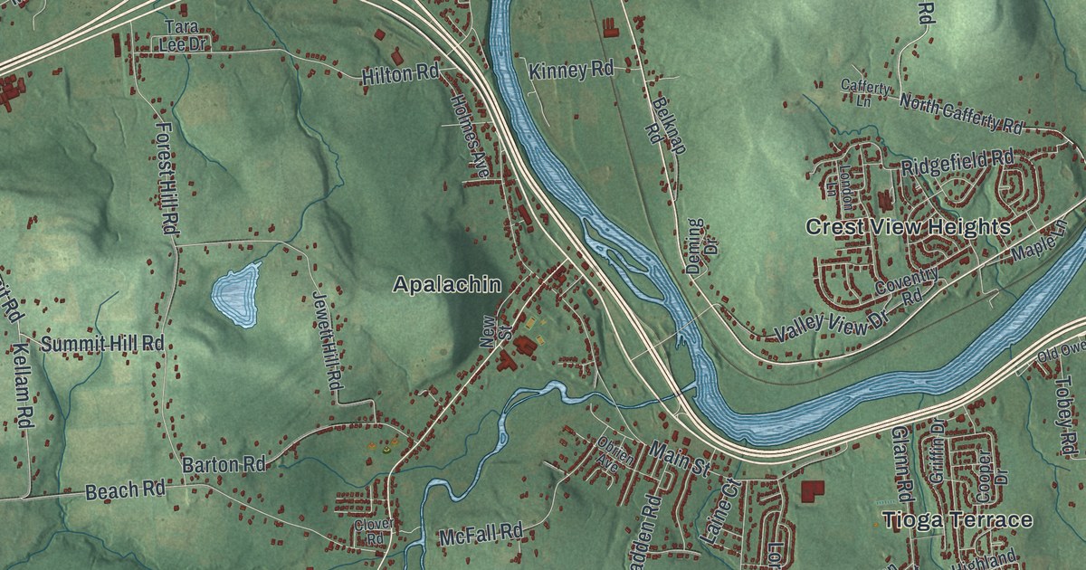
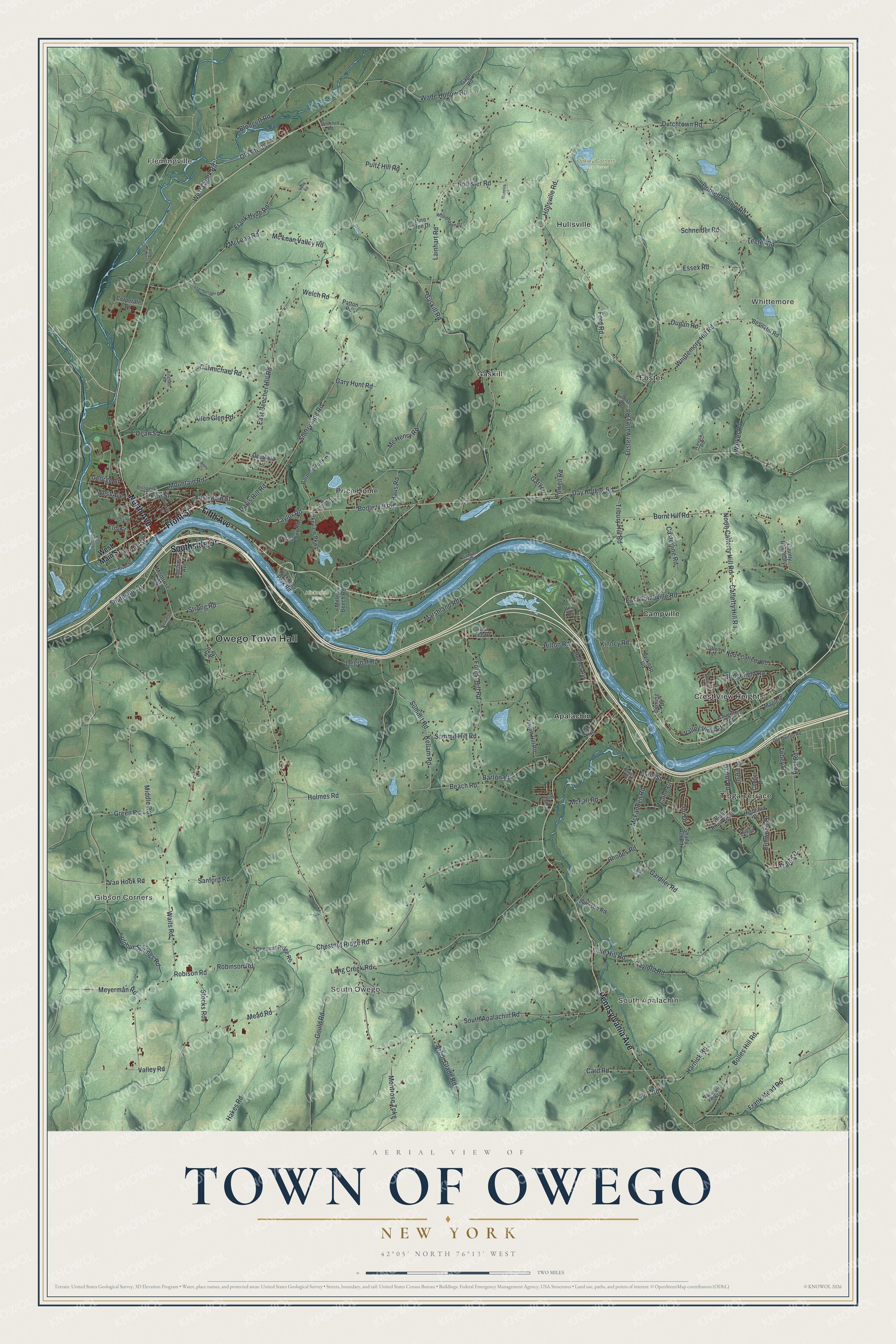
This beautifully detailed map of the Town of Owego, New York was created in 2026 using aerial imagery combined with modern topographical, census, street and landmark data. It’s a one-of-a-kind view of the Town of Owego that combines accurate data with a vintage aesthetic. The map shows every building in its true location, many of the roads carry their names, and the shaded topographic relief shows the shape of the land.
Explore an aerial view of the Town of Owego, New York
On the map you’ll find Owego Town Hall, Flemingville, South Apalachin, Gibson Corners, Whittemore, South Owego, Hickories Park, and Oakley Corners State Forest, along with Front Street, North Avenue, Pennsylvania Avenue, Southside Drive, and more. If you look closely you can even find your house accurately drawn in its correct location. Zoom in on the preview to look for yours.
Did You Know?
Today’s town of Owego began in 1800 under the name Tioga. People were confused about which town held Owego village. So in 1813 the legislature had the towns of Owego and Tioga swap names. The name comes from the Iroquois word ahwaga, meaning where the valley widens.
Take a closer look at the Town of Owego map
Names on this map
These names are printed on this map.
Places: Owego Town Hall, Flemingville, South Apalachin, Gibson Corners, Whittemore, South Owego, Hickories Park, Oakley Corners State Forest, Apalachin, Campville, Crest View Heights, Foster, Gaskill, Hullsville, Price Home and Tioga Terrace.
Streets and roads: Front Street, North Avenue, Pennsylvania Avenue, Southside Drive, Fifth Avenue, Main Street, Taylor Road, Bolles Hill Road, Frank Mead Road, East Main Street, Mountain Road, Mc Lean Valley Road.
More street names, A to Z
Allen Glen Road, Arbor Glade Road, Azalea Drive, Baker Hill Road, Barnes Creek Road, Barton Road, Beach Road, Bean Hill Road, Belknap Road, Bingham Road, Blodgett Road, Bodle Hill Road, Bornt Hill Road, Broadway Road, Cafferty Hill Road, Cafferty Lane, Card Road, Carmichael Road, Casterline Road, Chesnut Ridge Road, Chestnut Ridge Road, Clover Road, Cooper Drive, Cornell Hollow Road, Corporate Drive, County Boundary, Coventry Road, Davis Hill Road, Day Hollow Road, Dean Street, Deerfield Drive, Degroat Road, Deming Drive, Dickinson Road, Dugan Road, Dutchtown Road, East Beecher Hill Road, East Campville Road, Elm Street, Elmwood Drive, Erie Street, Essex Road, Ford Road, Forest Hill Road, Foster Valley Road, Foundry Street, Fox Road, Frank Hyde Road, Gage Road, Gardner Road, Gary Drive, Gary Hunt Road, Gaskill Road, Gaylord Road, Genesis Court, George Street, Glann Road, Glann Road West, Gould Road, Green Road, Griffin Drive, Hakes Road, Hall Road, Harnick Road, Haus Road, Hickories Park Road, Highland Drive, Hilltop Road, Hilton Road, Hollister Road, Holmes Avenue, Holmes Road, Hullsville Road, Hyde Road, Iris Drive, Ivory Foster Road, Jewett Hill Road, Johnson Road, Kellam Road, Kinney Road, Laine Court, Lainhart Road, Lakeview Parkway, Lillie Hill Road, Lindloff Road, London Lane, Long Creek Road, Lori Drive, Maple Lane, Marshland Road, McFadden Road, McFall Road, Mc Henry Road, McLean Road, Mead Road, Meyerman Road, Middle Road, Miller Beech Road, Montrose Avenue, Montrose Turnpike, New Street, North Cafferty Hill Road, North Cafferty Road, Obrien Avenue, Old Owego Road, Old Route 38, Orchard Avenue, Paige Street, Park Settlement Road, Patton Road, Pine Tree Drive, Pleasant View Drive, Pool Road, Powell Road, Prospect Street, Pultz Hill Road, Rhodes Road, Ridgefield Road, River Street, Robinson Road, Robison Road, Rosenberger Road, Sanford Road, Sawyer Road, Schneider Road, Shady Hill Road, Sherry Lipe Road, South Apalachin Road, Stocks Road, Strong Road, Sulphur Springs Road, Summit Hill Road, Summit Road, Tara Lee Drive, Teeter Road, Tilbury Hill Road, Tobey Road, Valley Road, Valley View Drive, Van Hook Road, Wade Hollow Road, Waits Road, Walker Road, Warrick Road, Welch Road, West Avenue, West Creek Road, West Division Street, West Main Street, Whittemore Hill Road, Winchell Road, Windy Lane, Woodhaven Drive.
See it on a wall
The Owego map as a framed print. Swipe for more.


This beautifully detailed map of the Town of Owego makes an attractive addition to your office, library, or den, and it can even be used to teach children the geography and history of the area. It also makes a great gift for someone who left the Town of Owego and still calls it home. When you’re done exploring, click here to get your copy of the Town of Owego map.