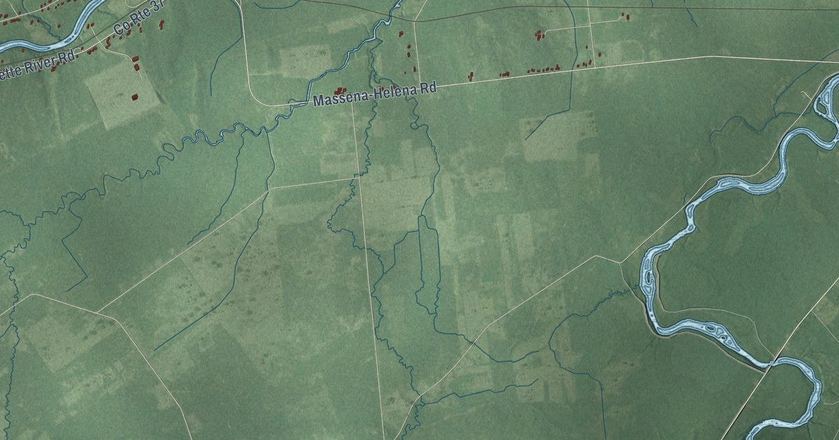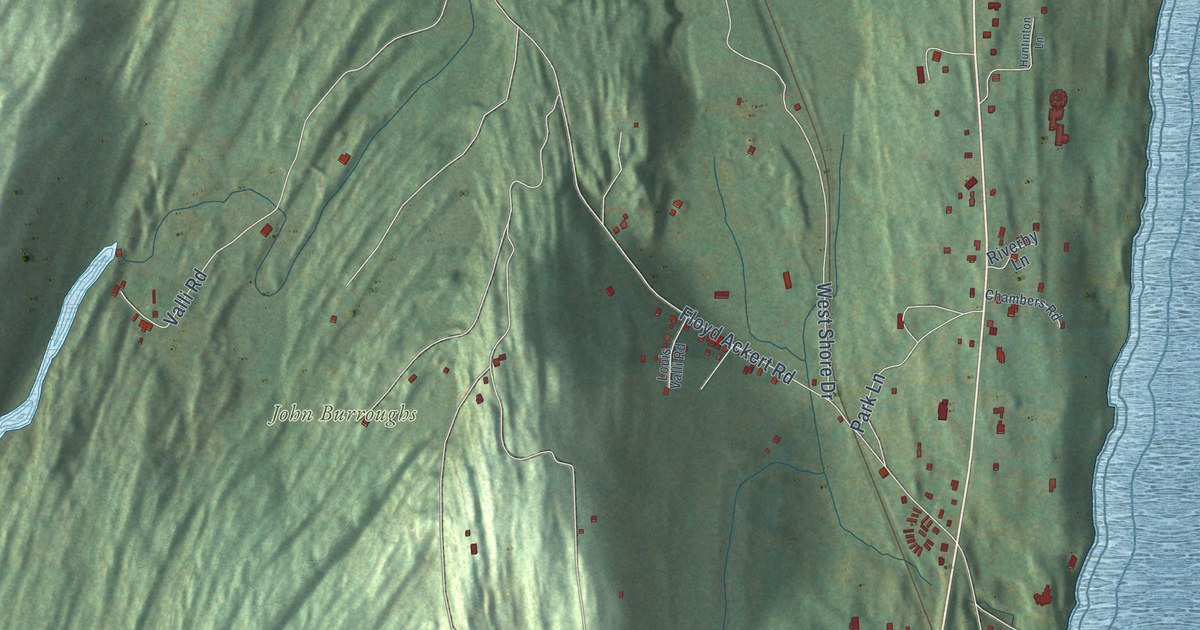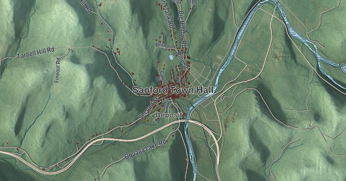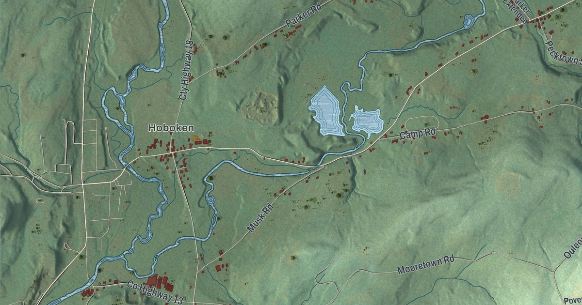
This beautifully detailed map of Pittsfield, New York was created in 2026 using aerial imagery combined with modern topographical, census, street and landmark data. It’s a one-of-a-kind view of Pittsfield that combines accurate data with a vintage aesthetic. The map shows every building in its true location, many of the roads carry their names, and the shaded topographic relief shows the shape of the land.
Explore an aerial view of Pittsfield, New York
On the map you’ll find Hoboken, Cardtown, and Calhoun Creek State Forest, along with Mumbulo Road, Nicholas Road, Miller Road, Line Road, Matteson Road, and more. If you look closely you can even find your house accurately drawn in its correct location. Zoom in on the preview to look for yours.
Did You Know?
Settlers first arrived around 1793. The Noble family had come from Pittsfield, Massachusetts, and settled near Pittsfield Centre. They named the new place for their old hometown. The town was formed out of Burlington in 1797.
Take a closer look at the Pittsfield map
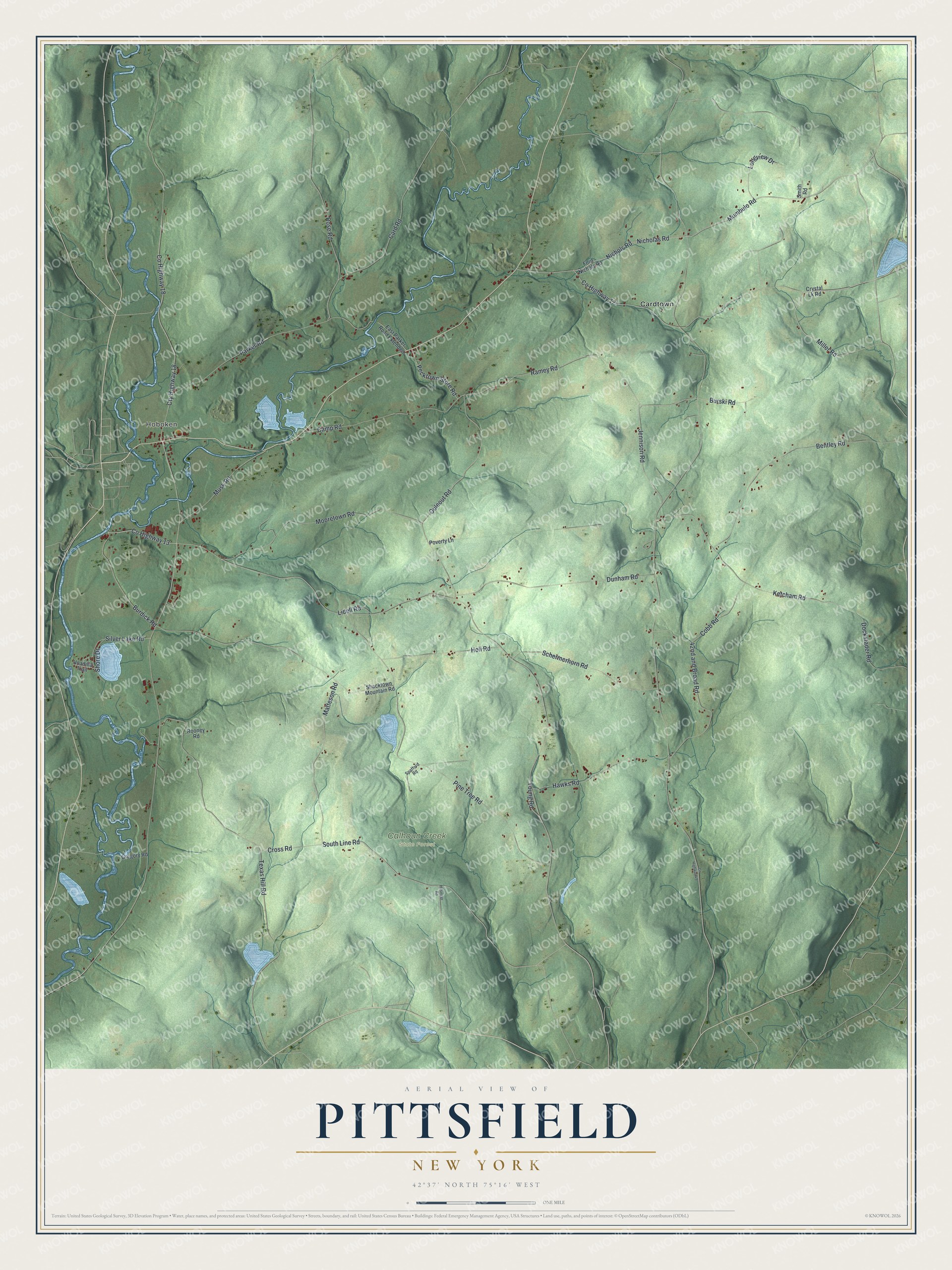
Names on this map
These names are printed on this map.
Places: Hoboken, Calhoun Creek State Forest and Cardtown.
Streets and roads: Mumbulo Road, Nicholas Road, Miller Road, South Line Road, Matteson Road, Ouleout Road, Ramey Road, Rose Road, Pine Tree Road, County Highway 18, Parker Road, Texas Hill Road.
More street names, A to Z
42nd and Broad Road, Bentley Road, Burdick Road, Burski Road, Camp Road, Card Road, Cobb Road, County Highway 13, County Highway 17, County Highway 49, Cross Road, Crystal Lk Road, Cty Highway 18, Dockstader Road, Dunham Road, East Parker Road Extended, Ford Nichols Road, Gregory Road, Hawks Road, Hilsinger Road, Holl Road, Jennison Road, Ketcham Road, Lidell Road, Longview Drive, Mooretown Road, Musk Road, Nichols Road, Pecktown Store Road, Poverty Lane, Rooney Road, Schermerhorn Road, Shacktown Mountain Road, Shore Drive, Silver Lake Road, Smith Road, Spafford Road, Unadilla Trail, Young Road.
See it on a wall
The Pittsfield map as a framed print. Swipe for more.


This beautifully detailed map of Pittsfield makes an attractive addition to your office, library, or den, and it can even be used to teach children the geography and history of the area. It also makes a great gift for anyone who grew up in Pittsfield or moved away. When you’re done exploring, click here to get your copy of the Pittsfield map.