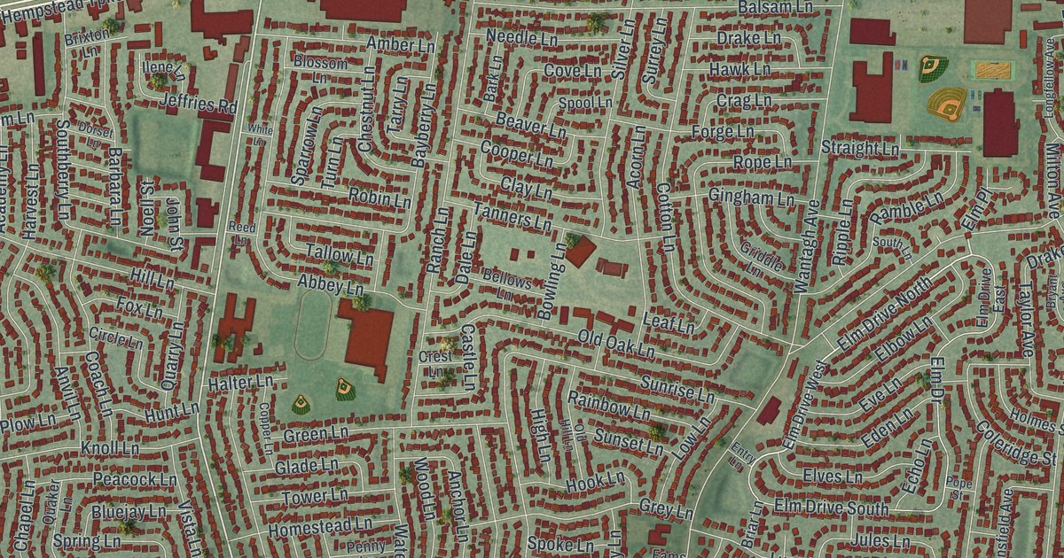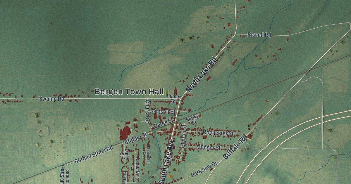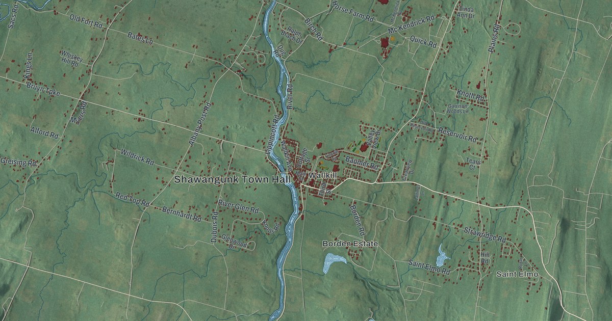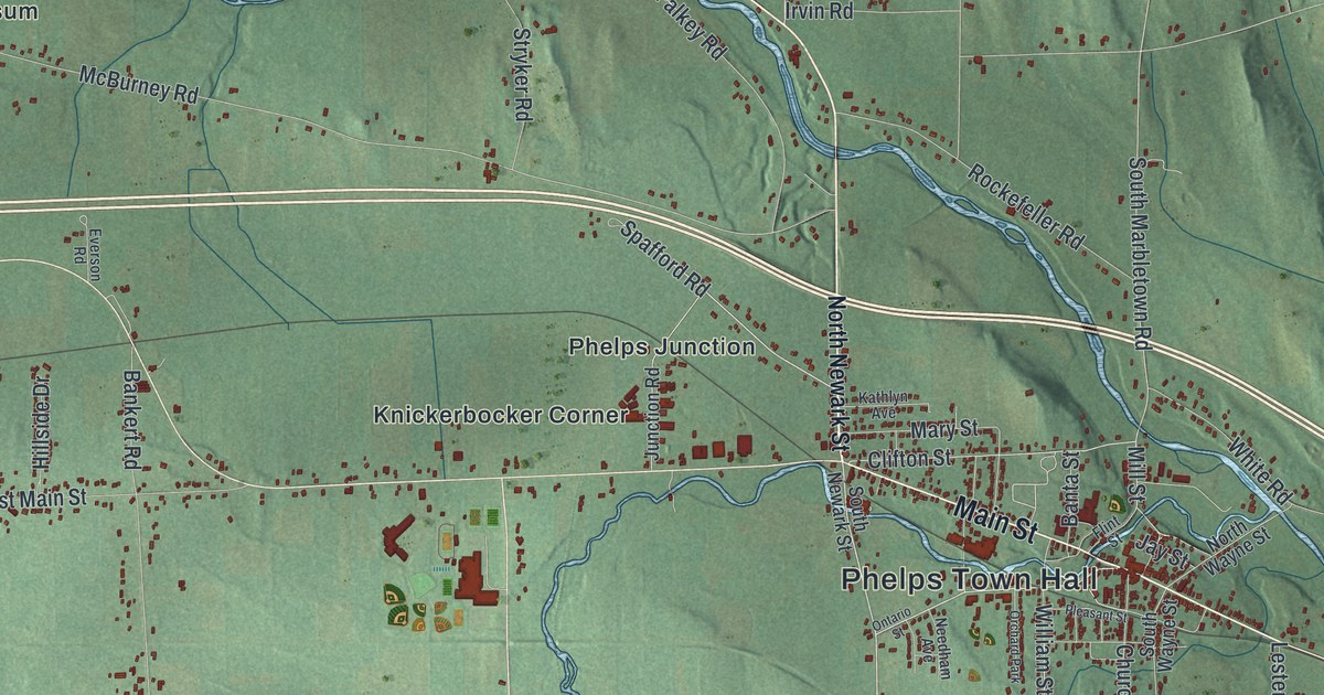
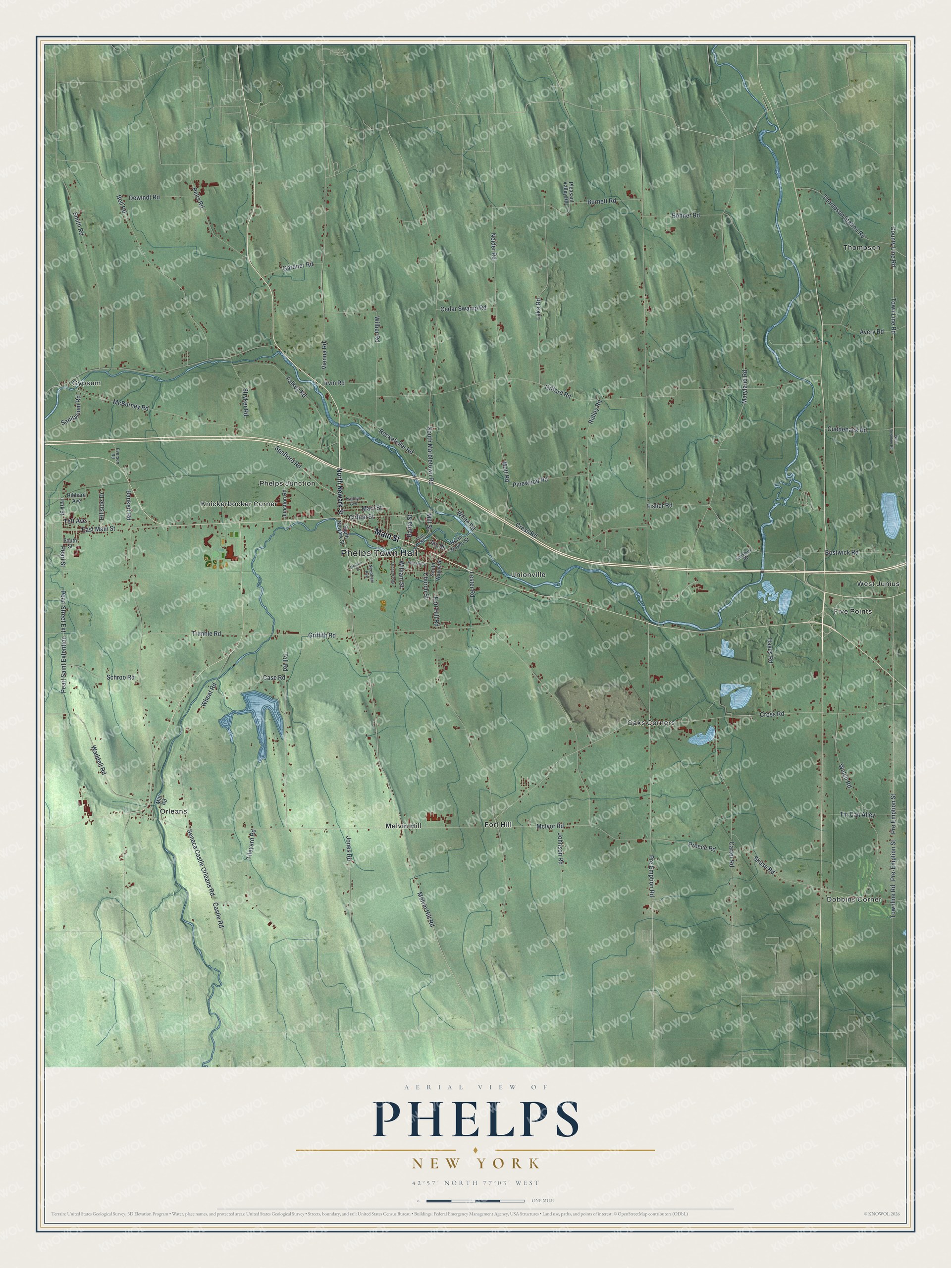
This beautifully detailed map of Phelps, New York was created in 2026 using aerial imagery combined with modern topographical, census, street and landmark data. It’s a one-of-a-kind view of Phelps that combines accurate data with a vintage aesthetic. The map shows every building in its true location, many of the roads carry their names, and the shaded topographic relief shows the shape of the land.
Explore an aerial view of Phelps, New York
On the map you’ll find Phelps Town Hall, Dobbins Corner, Five Points, Fort Hill, Gypsum, and Knickerbocker Corner, along with Main Street, Newark Street, Melvin Hill Road, Spafford Road, and more. If you look closely you can even find your house accurately drawn in its correct location. Zoom in on the preview to look for yours.
Did You Know?
In 1940 the village of Phelps quarried stone and sand and built grain drills, tinware and motor trucks. Above all, it made sauerkraut. Phelps was also the setting of Country Lawyer, the book by Bellamy Partridge. That’s from the 1940 WPA guide to New York.
Take a closer look at the Phelps map
Names on this map
These names are printed on this map.
Places: Phelps Town Hall, Dobbins Corner, Five Points, Fort Hill, Gypsum, Knickerbocker Corner, Melvin Hill, Oaks Corners, Orleans, Phelps Junction, Thompson, Unionville, West Junius and Orchard Park.
Streets and roads: Main Street, Melvin Hill Road, Spafford Road, Teft Avenue, Clifton Street, Castle Road, Waddell Road, Mill Street, Townline Road, South Marbletown Road, County Line Road, Town Line Road.
More street names, A to Z
Avery Road, Bankert Road, Banta Street, Bell Road, Bohner Road, Bostwick Road, Burnett Road, Carter Road, Case Road, Cedar Swamp Road, Church Street, Cress Road, Cross Road, Cuddeback Road, Dewindt Road, East Main Street, Everson Road, Falkey Road, Fisher Road, Flint Street, Fort Hill Road, Gardner Road, Gifford Road, Griffith Road, Hayes Road, Hibbard Avenue, Hillside Drive, Irvin Road, Jay Street, Johnson Road, Jones Road, Junction Road, Kathlyn Avenue, Lake Road, Lester Road, Maryland Road, Mary Street, McBurney Road, McIvor Road, Mill Road, Mott Road, Needham Avenue, Neider Road, North Newark Street, North Wayne Street, Ontario Street, Park Street, Pearl Saint Extention, Pearl Street, Pearl Street Extension, Pelis Road, Pinewood Road, Pleasant Street, Pleasant Valley Road, Pre-Emption Street, Preece Road, Pre Emption Road, Pre Emption Street, Ridley Road, Rockefeller Road, Salisbury Road, Sanitarium Road, Schroo Road, Seneca Castle Orleans Road, Skuse Road, Smith Road, South Newark Street, South Street, South Wayne Street, Stryker Road, Thompson Station Road, Tileyard Road, Tin Can Alley, Toll Road, Trimble Road, Vienna Road, Welch Road, West Townline Road, Wheat Road, White Road, Wilber Road, William Street.
See it on a wall
The Phelps map as a framed print. Swipe for more.


This beautifully detailed map of Phelps makes an attractive addition to your office, library, or den, and it can even be used to teach children the geography and history of the area. It also makes a great gift for someone who left Phelps and still calls it home. When you’re done exploring, click here to get your copy of the Phelps map.