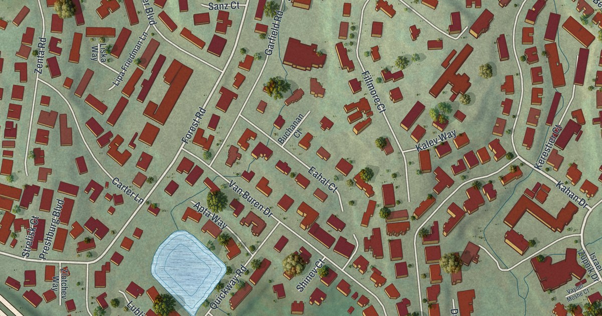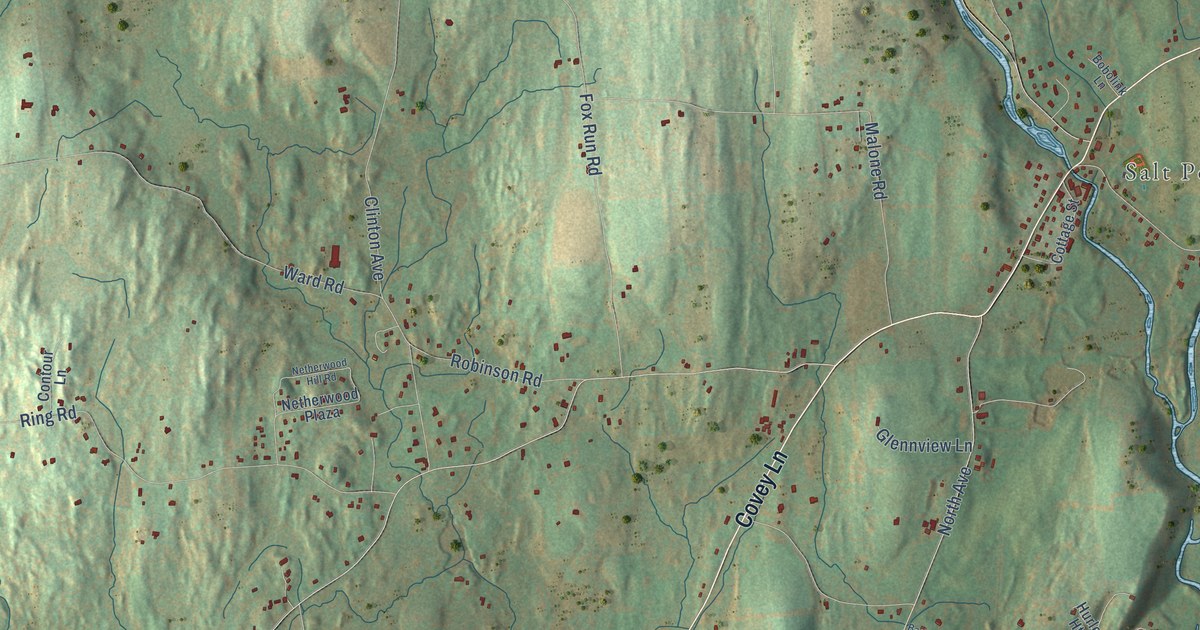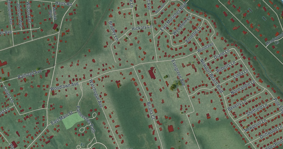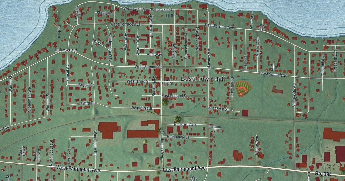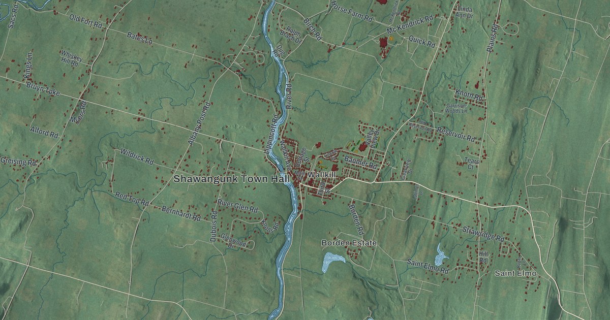
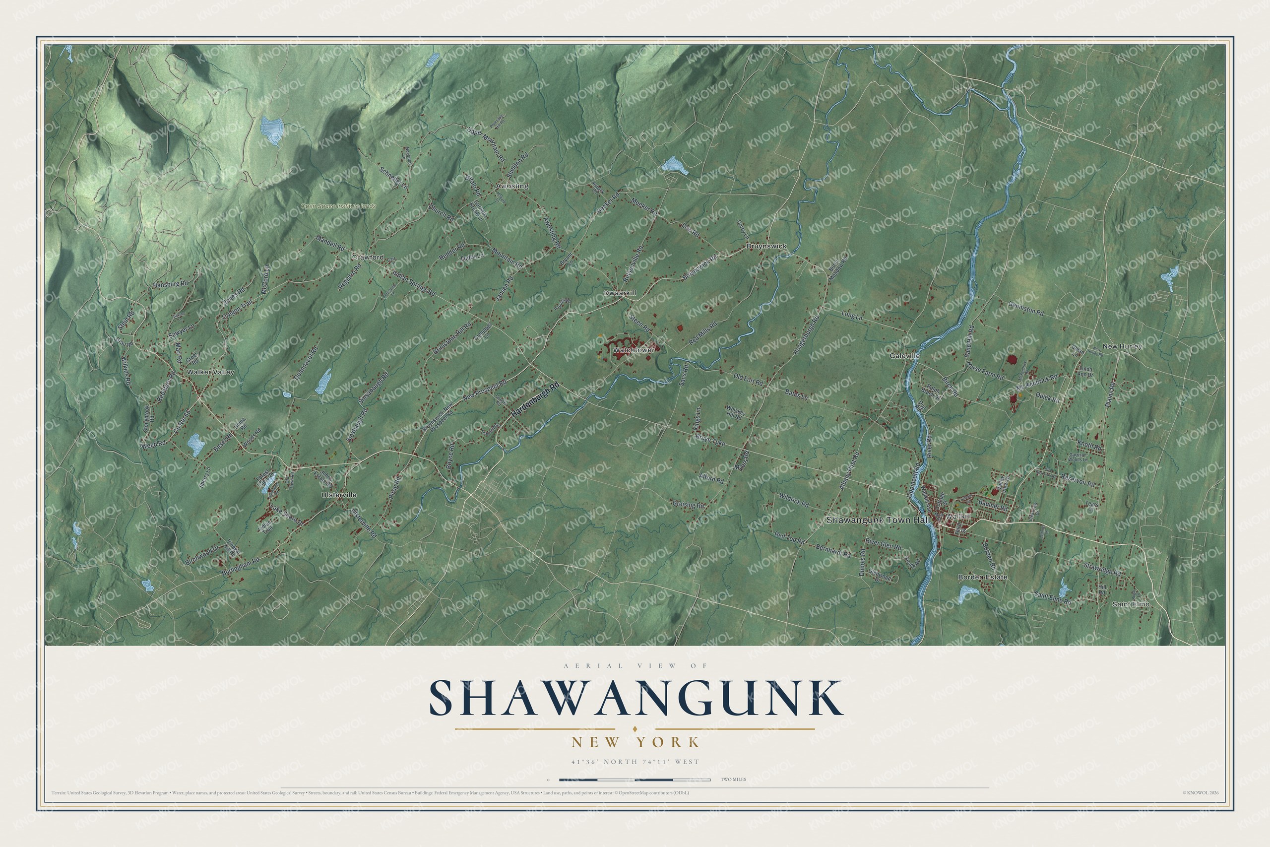
This beautifully detailed map of Shawangunk, New York was created in 2026 using aerial imagery combined with modern topographical, census, street and landmark data. It’s a one-of-a-kind view of Shawangunk that combines accurate data with a vintage aesthetic. The map shows every building in its true location, many of the roads carry their names, and the shaded topographic relief shows the shape of the land.
Explore an aerial view of Shawangunk, New York
On the map you’ll find Shawangunk Town Hall, Saint Elmo, Awosting, Bruynswick, Crawford, and Dwaarkill, along with Hardenburgh Road, Bruyn Turnpike, Bruynswick Road, Oregon Trail, and more. If you look closely you can even find your house accurately drawn in its correct location. Zoom in on the preview to look for yours.
Did You Know?
The town is named for the Shawangunk Kill, the biggest stream within its borders. The word comes from the Munsee Lenape language, as written down by the Dutch. It first appears in a deed of 1682 to Gertrude Bruyn, who settled on that creek. Locals have said SHONG-gum since at least 1777.
Take a closer look at the Shawangunk map
Names on this map
These names are printed on this map.
Places: Shawangunk Town Hall, Saint Elmo, Open Space Institute lands, Awosting, Borden Estate, Bruynswick, Crawford, Dwaarkill, Galeville, New Hurley, Ulsterville, Walker Valley, Wallkill and Watchtower.
Streets and roads: Hardenburgh Road, Bruyn Turnpike, Bruynswick Road, Oregon Trail, Indian Springs Road, County Route 65, Weed Road, New Prospect Road, River Road, Church Road, Red Mills Road, Burlingham Road.
More street names, A to Z
Albany Post Road, Alford Road, Aumick Road, Awosting Road, Basel Road, Bates Lane, Baumer Road, Bernhardt Road, Birch Road, Birchwood Drive, Borden Road, Boyce Road, Brimstone Hill Road, Bruynswick-New Prospect Road, Bryant Lane, Bufalo Road, Burnt Meadow Road, Campbell Lane, Carr Lane, Clearview Drive, Cooper Road, Corey Lane, Cornelia Brook Lane, Cottage Street, Decker Road, Denniston Road, Dolan Lane, Dubois Road, Dug Road, Forestdale Lane, Forest Glen Road, Garrison Woods Lane, Glenwood Drive, Grau Road, Greer Road, Greising Road, Hansburg Road, Hill Road, Hoagerburgh Road, Homa Road, Horse Farm Road, Howard Lane, Indian Trail, Jansen Road, Johns Estate Road, Jones Road, Kings Lane, Knolls Road, Knoth Road, Lake Shore Drive, Lakewood Road, Lattimer Lane, Lincoln Circle, Linda Ann Drive, Lippincott Road, Long Lane, Low Road, Main Street, Mandell Road, Marl Road, McCord Lane, Mc Kendrick Road, McKendrick Road, Meeker Road, Mountain Road, Myers Road, New Hurley Road, Norwood Lane, Old Fort Road, Old Reservoir Road, Old Town Road, Papuga Road, Peaceable Hill Road, Pirog Road, Plains Road, Quannacut Road, Quick Road, Ralph Brach Drive, Red Barn Road, Redder Road, Red Top Road, Registro Road, Reservoir Road, River Glen Road, Rugar Lane, Rutsonville Road, Sacs Road, Saint Elmo Road, Sand Hill Road, Sawyer Lane, Saxton Lane, Schneller Lane, Schrempp Lane, Sheldon Road, Sherry Lane, Sinsabaugh Road, Sinsbaugh Road, Steen Road, Stein Road, Stonybrook Road, Strawridge Road, Tears Court, Third Street, Tudor Lane, Ulsterville Road, Upper Mountain Road, Valley View Drive, Vinegar Hill Road, Wallkill Avenue, Whiskey Hill Road, Wildrick Road, Wilkins Road, Woods Road.
See it on a wall
The Shawangunk map as a framed print. Swipe for more.


This beautifully detailed map of Shawangunk makes an attractive addition to your office, library, or den, and it can even be used to teach children the geography and history of the area. It also makes a great gift for someone who left Shawangunk and still calls it home. When you’re done exploring, click here to get your copy of the Shawangunk map.