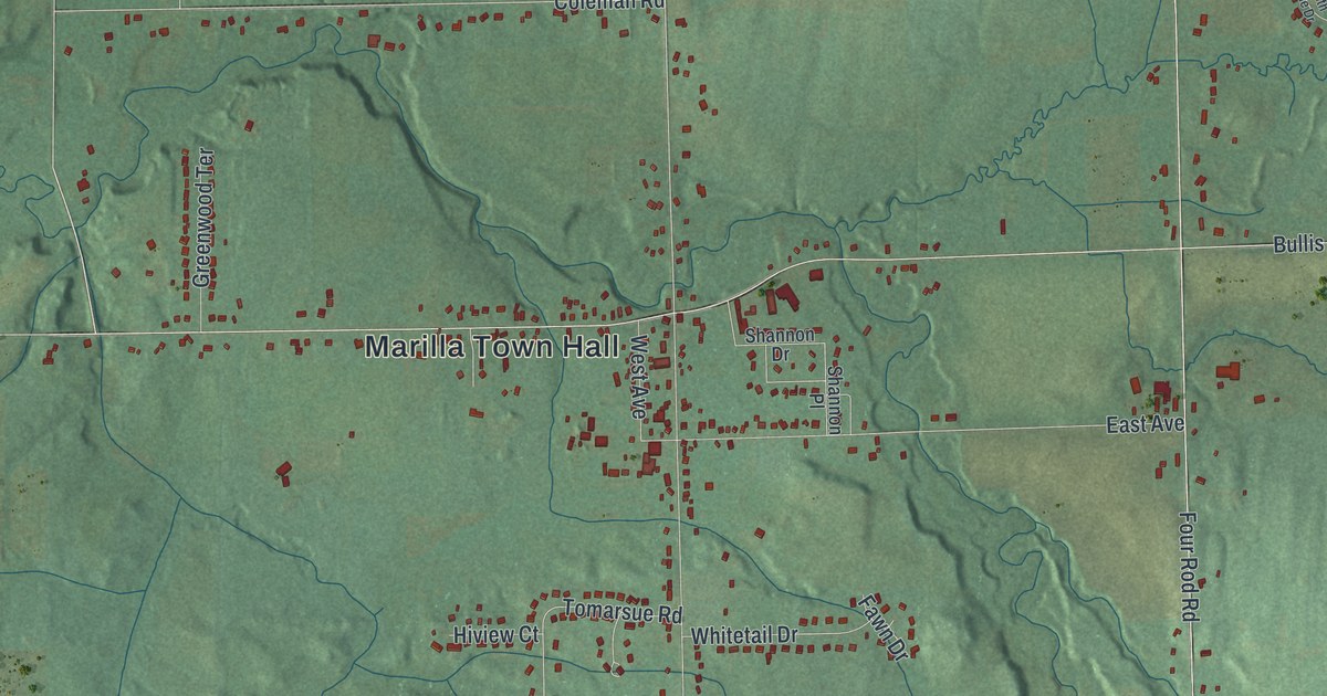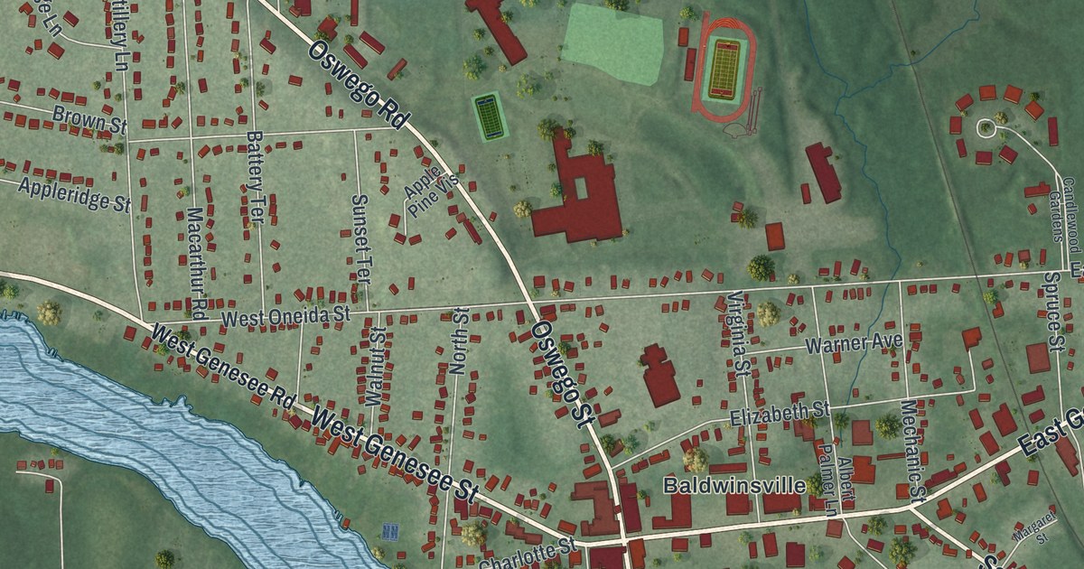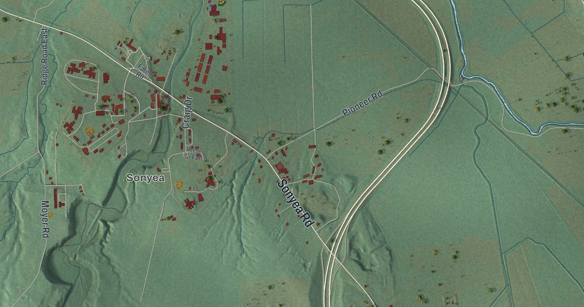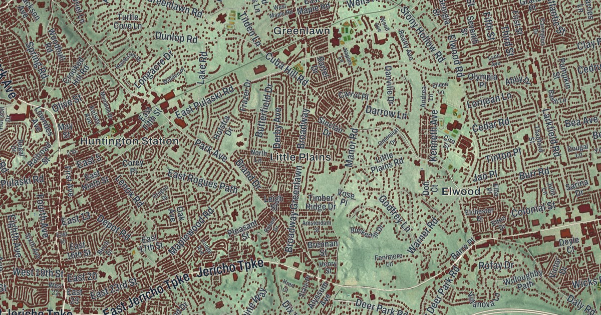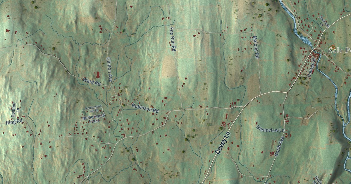
This beautifully detailed map of Netherwood, New York was created in 2026 using aerial imagery combined with modern topographical, census, street and landmark data. It’s a one-of-a-kind view of Netherwood that combines accurate data with a vintage aesthetic. The map shows every building in its true location, many of the roads carry their names, and the shaded topographic relief shows the shape of the land.
Explore an aerial view of Netherwood, New York
On the map you’ll find Gretna and Salt Point, along with Salt Point Turnpike, Covey Lane, South Quaker Lane, Pine Hill Road, North Quaker Lane, Hurley Road, Mill Lane, Creek Road, Barkit Kennel Road, Scout Road, and more. If you look closely you can even find your house accurately drawn in its correct location. Zoom in on the preview to look for yours.
Take a closer look at the Netherwood map
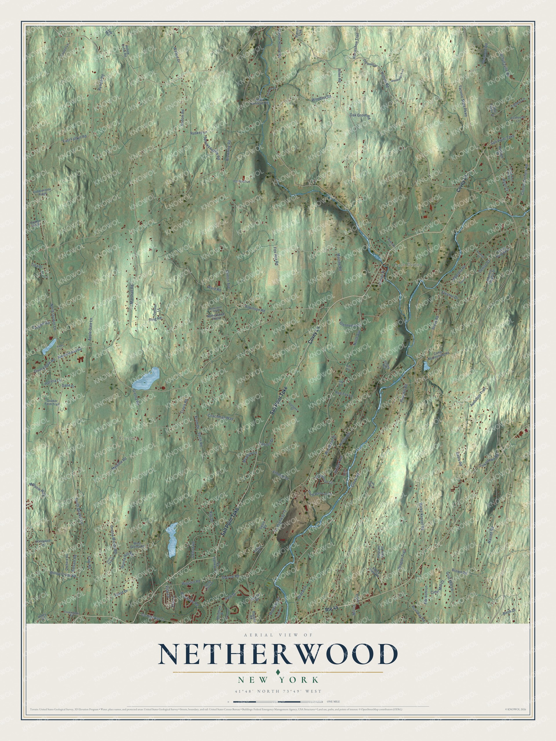
Names on this map
These names are printed on this map.
Places: Gretna and Salt Point.
Streets and roads: Route 44, Salt Point Turnpike, Covey Lane, South Quaker Lane, Pine Hill Road, North Quaker Lane, Hurley Road, Mill Lane, Creek Road, Barkit Kennel Road, Scout Road, Cary Road.
More street names, A to Z
Abel Peters Drive, Albrecht Lane, Allen Road, Apple Gate Lane, Arborio Road, Audubon Trail, Balsam Road, Barts Way, Birch Drive, Bobolink Lane, Brewster Lane, Brookside Road, Browning Road, Brown Road, Camp Nooteeming Road, Cardinal Road, Cider Mill Court, Clinton Avenue, Clinton Corners Road, Clinton Hollow Road, Coachman Way, Cobblestone Ridge, Contour Lane, Cookingham Road, Cottage Street, County Highway 71, County Highway 72, County Highway 73, Crum Elbow Road, Dana Place, David Drive, Davis Road, Denise Court, Dragon Trail, East Fallkill Road, Eleanor Drive, Elm Lane, Firehouse Lane, Forest Meadow Drive, Fox Run Road, Gallagher Drive, Gateway Drive, Germond Road, Glennview Lane, Grace Lane, Gretna Hill Road, Gretna Park Road, Gretna Road, Gretna Woods Road, Grissom Road, Grist Mill Lane, Hattie Lane, Henry Street, Heritage Road, Heritage Road Extended, Hibernia Heights Drive, Hibernia Road, Hollow Circle Road, Hollow Road, Honeywell Lane, Horseshoe Trail, Hurley Heights, Ice Pond Lane, Ivy Lane, Juniper Avenue, Kay Drive, Krom Drive, Lake Lodge Drive, Latika Court, Lauren Lane, Locust Avenue, Mackey Lane, Malone Road, Marshall Road, Masten Road, Meadow Lane, Melanie Way, Melville Road, Mountain Drive, Netherwood Hill Road, Netherwood Plaza, Netherwood Road, North Avenue, O' Halloran Circle, Oak Grove Road, Old Hollow, Old O'Halloran Circle, Olejen Lane, Orchard Road, Oxford Road, Park Drive, Patricia Lane, Plateau Road, Pleasant View Road, Promise Lane, Quaker Farm Trail, Quaker Hill Drive, Ravine Road, Red Fox Lane, Ring Road, Robinson Road, Rossway Road, Ruskey Lane, Ryan Court, Rymph Road, Saw Mill, Schultzville Road, Sherow Road, Smith Road, Sodom Road, Spooky Hollow Road, Spring Creek Drive, Stream Lane, Sunset Trail, Swain Road, Taconic State Parkway, Talleur Lane, Tannen Drive, Tina Drive, Tinkertown Road, Travis Road, Valley View Road, View Drive, Walnut Drive, Ward Road, West Gretna Road, West Halstead Road, Whiteford Drive, Wigsten Road, Willow Cross Road, Woodland Drive, Woodlands Trail, Woodlea Road.
See it on a wall
The Netherwood map as a framed print. Swipe for more.


This beautifully detailed map of Netherwood makes an attractive addition to your office, library, or den, and it can even be used to teach children the geography and history of the area. It also makes a great gift for anyone with Netherwood roots. When you’re done exploring, click here to get your copy of the Netherwood map.