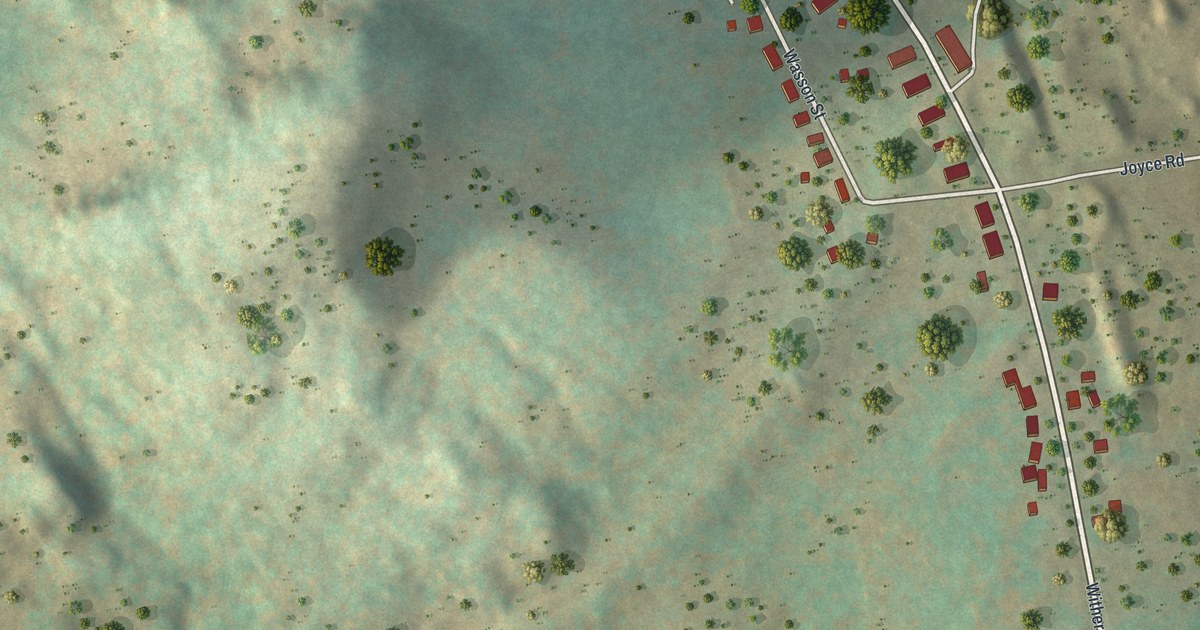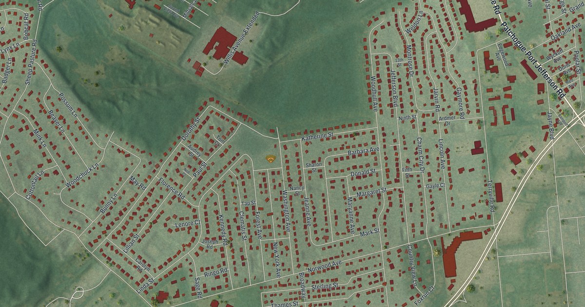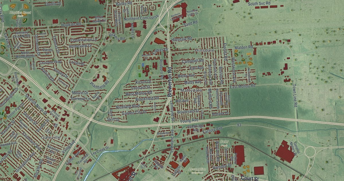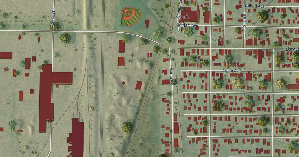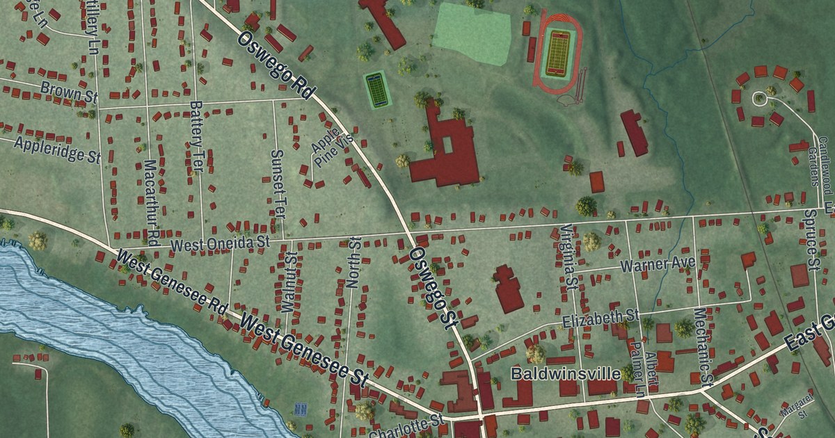
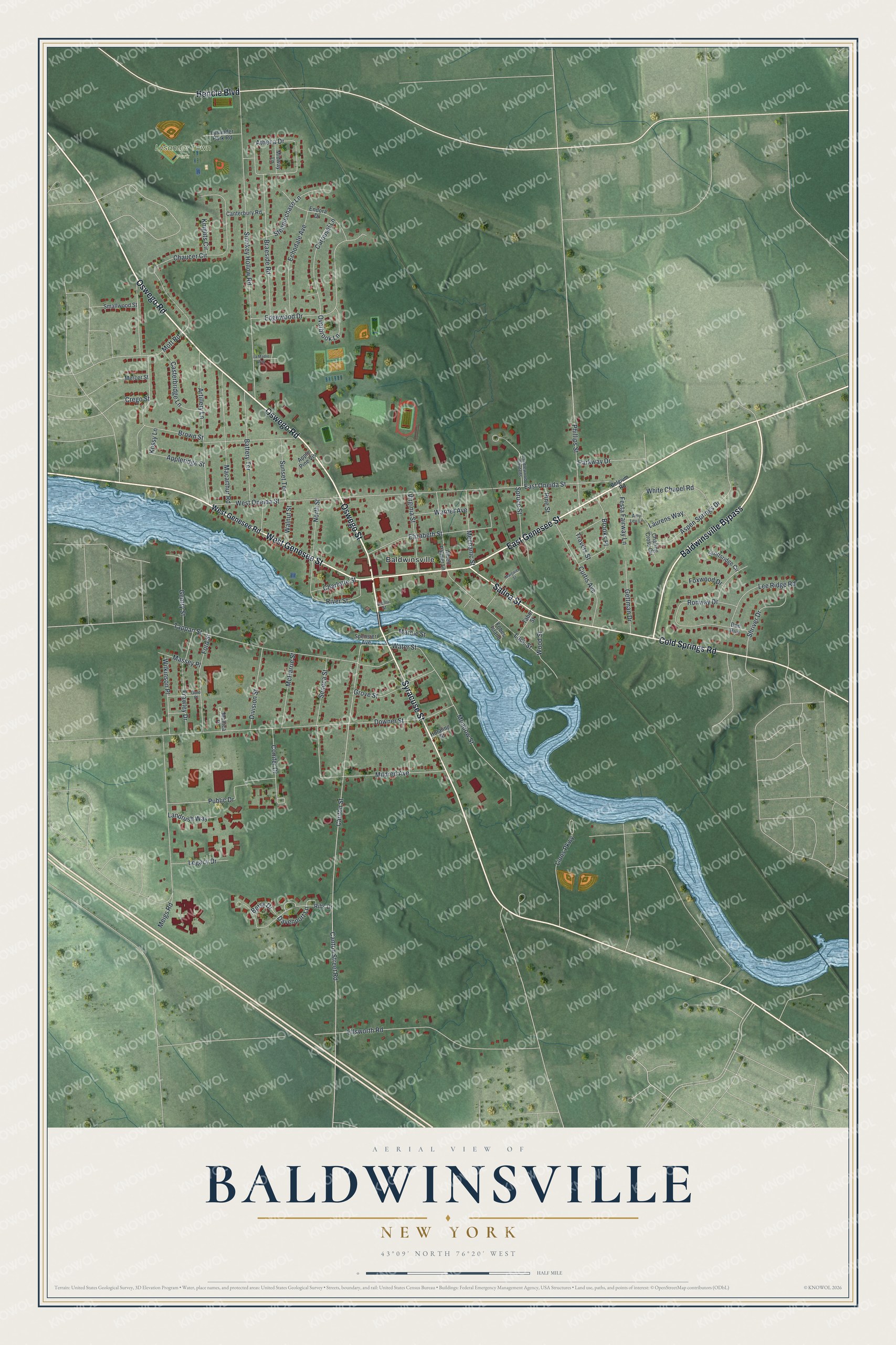
This beautifully detailed map of Baldwinsville, New York was created in 2026 using aerial imagery combined with modern topographical, census, street and landmark data. It’s a one-of-a-kind view of Baldwinsville that combines accurate data with a vintage aesthetic. The map shows every building in its true location, many of the roads carry their names, and the shaded topographic relief shows the shape of the land.
Explore an aerial view of Baldwinsville, New York
On the map you’ll find Lysander Town Park, along with Genesee Street, Oswego Road, Oswego Street, Baldwinsville Bypass, Syracuse Street, and more. If you look closely you can even find your house accurately drawn in its correct location. Zoom in on the preview to look for yours.
Did You Know?
The village is named for Jonas Baldwin. He built a dam across the Seneca River for power, plus a private canal that let boats get around it. Before that, the community had other names, including McHarrie’s Rifts. It incorporated as Baldwinsville in 1848.
Take a closer look at the Baldwinsville map
Names on this map
These names are printed on this map.
Places: Lysander Town Park and Baldwinsville.
Streets and roads: East Genesee Street, Oswego Road, West Genesee Street, Oswego Street, Baldwinsville Bypass, Syracuse Street, Salina Street, Hencle Boulevard, Cold Springs Road, Canton Street, Davenport Lane, Smokey Hollow Road.
More street names, A to Z
Albert Palmer Lane, Amy Leu Lane, Apple Pine Vis, Appleridge Street, Artillery Lane, Aspen Springs Drive, Athena Drive, Battery Terrace, Belgium Road, Betsy Drive, Braeside Road, Brooks Place, Brown Street, Candlewood Gardens, Canterbury Road, Canton Street Road, Carousel Lane, Casterbridge Lane, Charing Cross Circle, Charlotte Street, Chaucer Circle, Conifer Drive, Crego Street, Curtis Avenue, Denio Street, Division Street, Doe Run, Downer Street, East Oneida Street, Echodale Avenue, Edgewood Drive, Elizabeth Street, Ellsworth Road, Endora Drive, Festa Fairway Lane, Fobes Island, Ford Street, Foxwood Drive, Frawley Drive, Gale Place, Gentry Street, Gettman Drive, Grove Street, Hotaling Street, Knights Circle, Kossy Lane, La Madre Way, Landrush Way, Laurens Way, Lee Ridge Road, Legacy Drive, Lions Parkway, Lock Street, Lysander Park Road, Macarthur Road, Marble Street, Margaret Street, Massey Place, McHarrie Street, Meadow Street, Mechanic Street, Meigs Road, Mercer Street, Midway Lane, Mildred Avenue, Monica Place, Mott Road, North Street, Overbrook Lane, Parkway Drive, Phillips Street, Pine Street, Public Drive, Rifts Drive, River Street, Ronway Drive, Scottsridge Circle, Seneca Street, Shriver Drive, Smallwood Street, Spensieri Avenue, Spruce Street, Steeplechase Lane, Sunset Terrace, Tabor Street, Tappan Street, Travers Street, Virginia Street, Walnut Street, Warner Avenue, Water Street, West Genesee Road, West Oneida Street, White Chapel Road, Wilkinson Place, Wood Street.
See it on a wall
The Baldwinsville map as a framed print. Swipe for more.


This beautifully detailed map of Baldwinsville makes an attractive addition to your office, library, or den, and it can even be used to teach children the geography and history of the area. It also makes a great gift for anyone who grew up in Baldwinsville or moved away. When you’re done exploring, click here to get your copy of the Baldwinsville map.