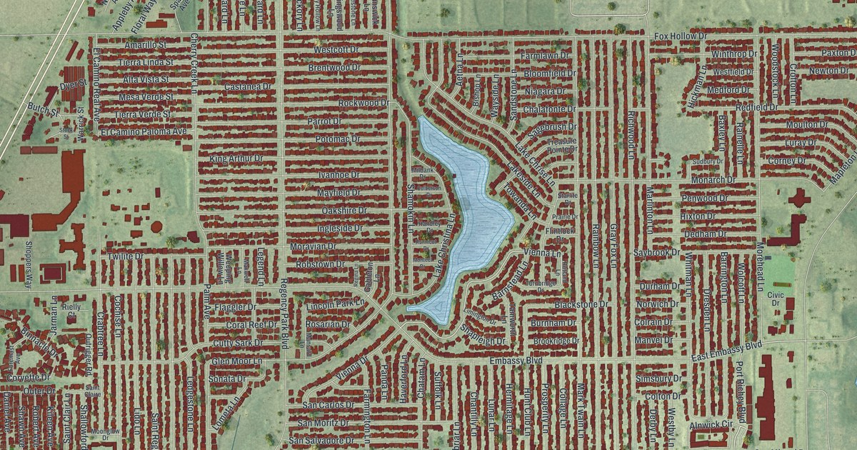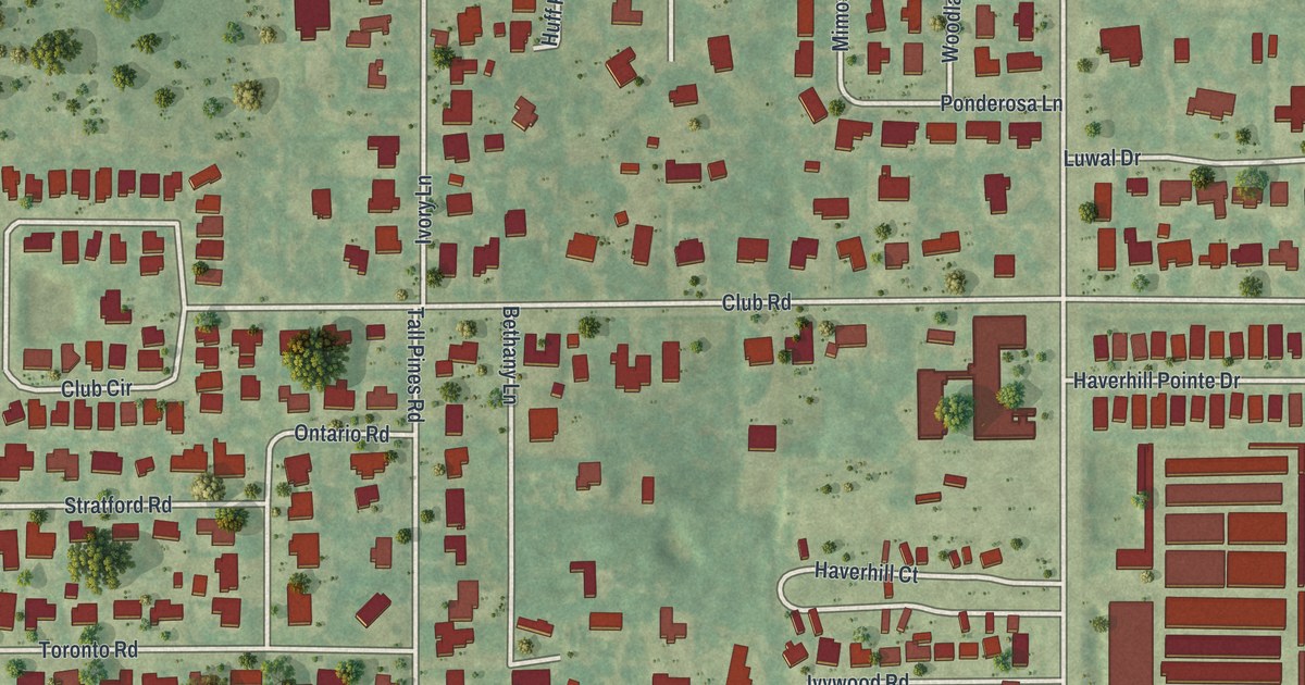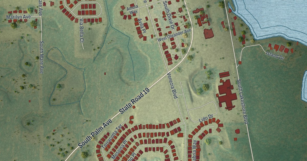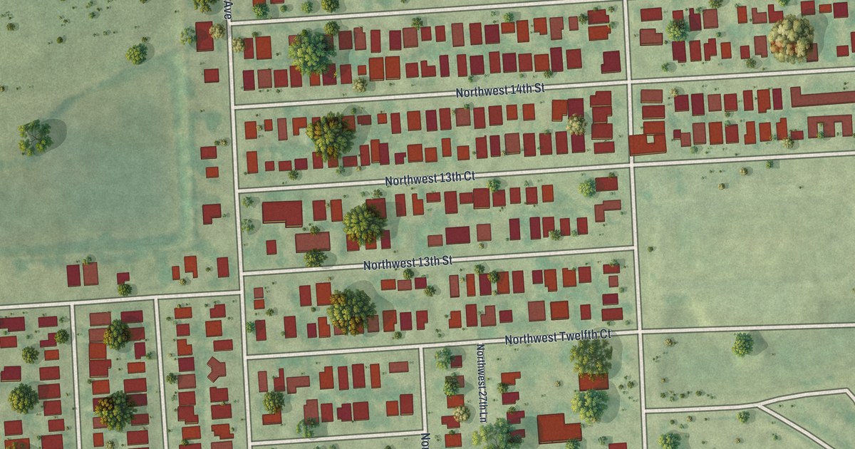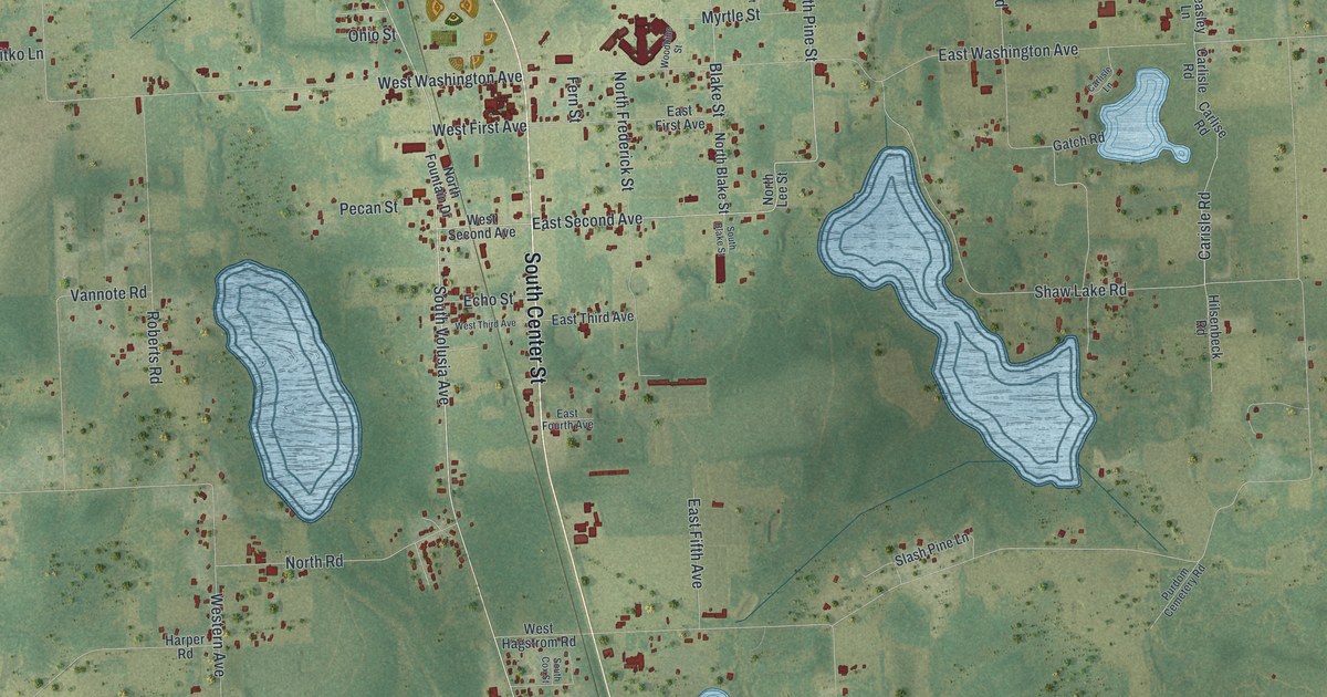
This beautifully detailed map of Pierson, Florida was created in 2026 using aerial imagery combined with modern topographical, census, street and landmark data. It’s a one-of-a-kind view of Pierson that combines accurate data with a vintage aesthetic. The map shows every building in its true location, many of the roads carry their names, and the shaded topographic relief shows the shape of the land.
Explore an aerial view of Pierson, Florida
On the map you’ll find South Center Street, North Center Street, South Volusia Avenue, East Second Avenue, North Pine Street, Pine Street, Burnsed Road, North Volusia Avenue, Carisle Road, East Washington Avenue, Braddock Road, West Washington Avenue, and more. If you look closely you can even find your house accurately drawn in its correct location. Zoom in on the preview to look for yours.
Did You Know?
Pierson calls itself the Fern Capital of the World. The town depends heavily on agriculture, and most of it is fern growing. Its ferns are shipped around the world for floral arrangements and other decorations.
Take a closer look at the Pierson map

Names on this map
These names are printed on this map.
Streets and roads: South Center Street, North Center Street, South Volusia Avenue, East Second Avenue, North Pine Street, Pine Street, Burnsed Road, North Volusia Avenue, Carisle Road, East Washington Avenue, Braddock Road, West Washington Avenue.
More street names, A to Z
Beasley Lane, Bell Road, Blackburn Road, Blake Street, Carlise Road, Carlisle Lane, Carlisle Road, Crystal Lake Causeway, Dzitko Lane, East Fifth Avenue, East First Avenue, East Fourth Avenue, East Palmetto Avenue, East Third Avenue, Echo Street, Fern Street, Franklin Street, Gatch Road, Glenhaven Avenue, Hagstrom Road, Harper Road, Hilsenbeck Road, Lake Inez Trail, Lamar Road, Minshew Road, Myrtle Street, North Blake Street, North Cade Street, North Fountain Drive, North Frederick Street, North Lee Street, North Road, Ohio Street, Olmstead Road, Pecan Street, Phelps Lane, Powell, Purdom Cemetery Road, Ricamar Road, Richardson Lane, Roberts Road, Robinson Road, Saul Road, Shaw Lake Road, Silver Road, Slash Pine Lane, South Blake Street, South Cox Street, Turner Road, Vannote Road, Western Avenue, West First Avenue, West Hagstrom Road, West Palmetto Avenue, West Second Avenue, West Third Avenue, Woodbine Street.
See it on a wall
The Pierson map as a framed print. Swipe for more.


This beautifully detailed map of Pierson makes an attractive addition to your office, library, or den, and it can even be used to teach children the geography and history of the area. It also makes a great gift for anyone who grew up in Pierson or moved away. When you’re done exploring, click here to get your copy of the Pierson map.