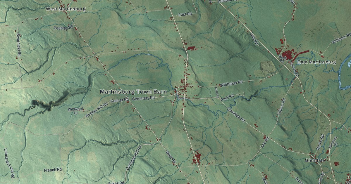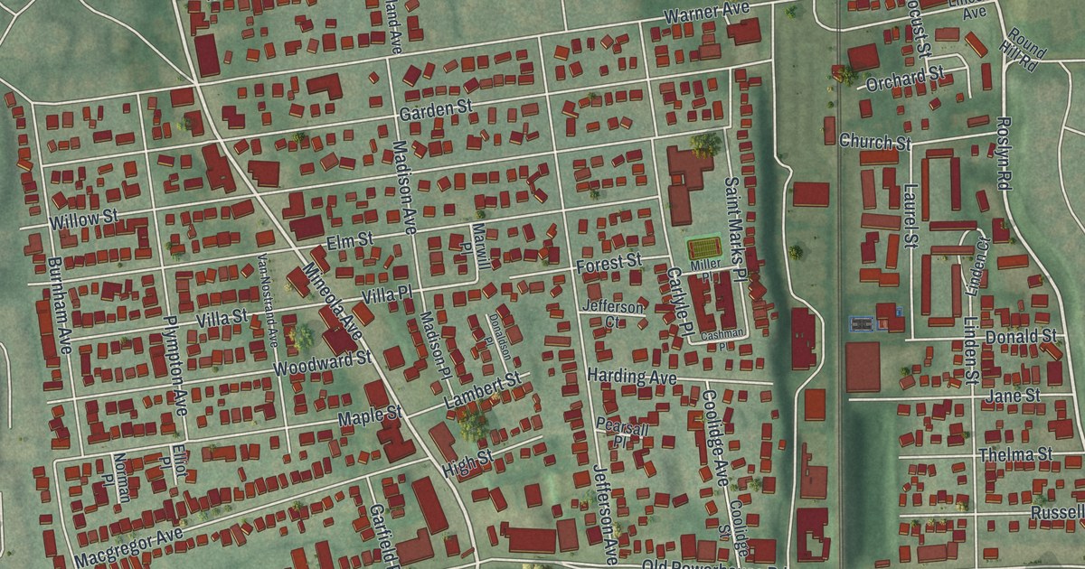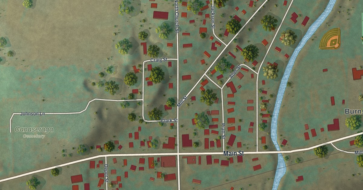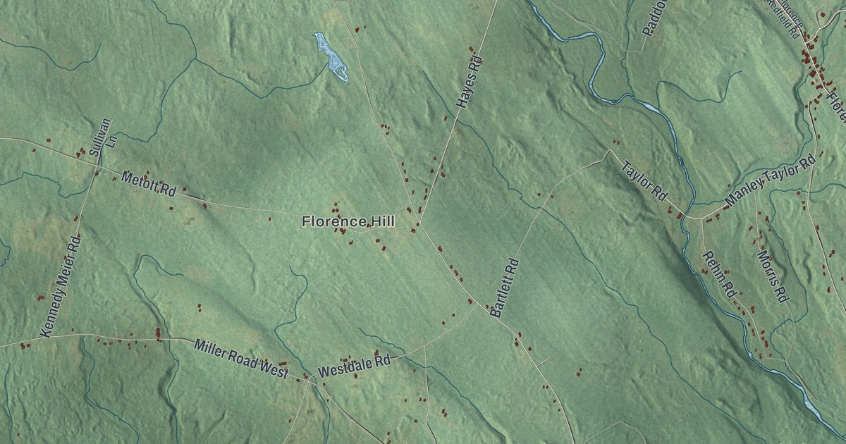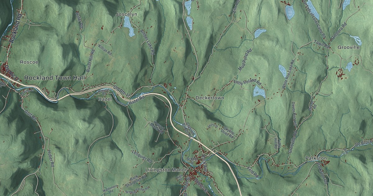
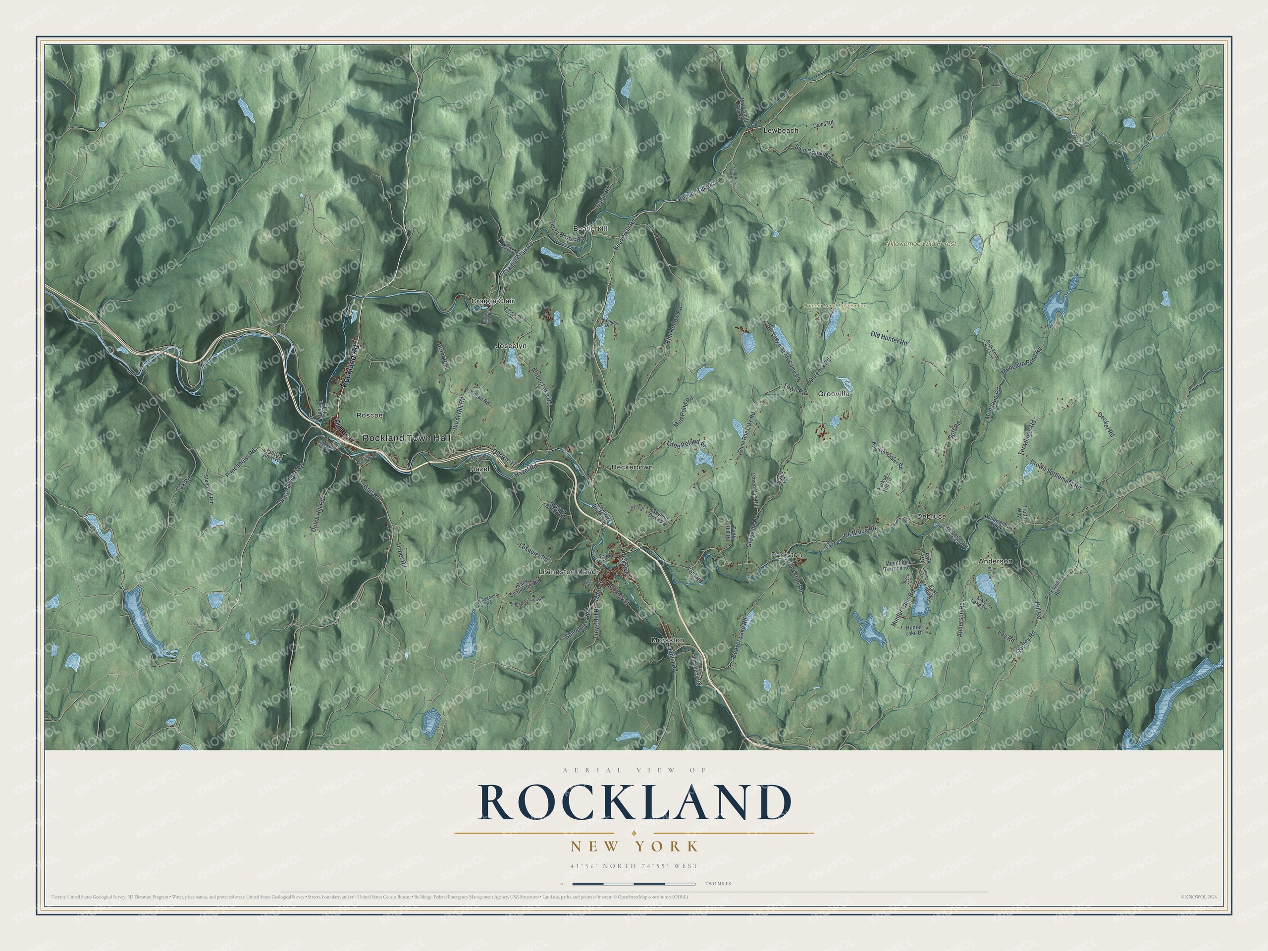
This beautifully detailed map of Rockland, New York was created in 2026 using aerial imagery combined with modern topographical, census, street and landmark data. It’s a one-of-a-kind view of Rockland that combines accurate data with a vintage aesthetic. The map shows every building in its true location, many of the roads carry their names, and the shaded topographic relief shows the shape of the land.
Explore an aerial view of Rockland, New York
On the map you’ll find Rockland Town Hall, Anderson, Beaverkill, Craigie Clair, Debruce, Deckertown, and Willowemoc Wild Forest, along with Rockland Road, Beaver Kill Road, Craigie Clair Road, Tennanah Lake Road, and more. If you look closely you can even find your house accurately drawn in its correct location. Zoom in on the preview to look for yours.
Did You Know?
Westfield Flats, a hamlet in the town of Rockland, was renamed for U.S. Senator Roscoe Conkling of New York. Today it calls itself Trout Town, USA. Two popular trout streams, the Beaver Kill and Willowemoc Creek, meet there and draw fly fishers.
Take a closer look at the Rockland map
Names on this map
These names are printed on this map.
Places: Rockland Town Hall, Onteora Scout Reservation, Willowemoc Wild Forest, Anderson, Beaverkill, Craigie Clair, Debruce, Deckertown, Grooville, Hazel, Joscelyn, Lewbeach, Livingston Manor, Morsston, Parkston, Roscoe and East Park.
Streets and roads: Rockland Road, Beaver Kill Road, Craigie Clair Road, Tennanah Lake Road, Beaverkill Road, Punchbowl Road, Rock Avenue, Berry Brook Road, Shin Creek Road, Ragin Road, Mongaup Pond Road, Cooley Road.
More street names, A to Z
Alexander Drive, Amber Lake Road, Anderson Road, Back Lincoln Farm Road, Back Shandelee Road, Beattie Road, Beaver Lake Road, Birch Lane, Black Bear Drive, Bott Lane, Brown Settlement Road, Burnt Hill Road, Campbell Inn Road, Covered Bridge Road, Cox Road, Dahlia Road, Daven Port Hill, Davis Road, De Bruce Road, Decker Road, Devoe Road, Dubois Street, Dutch Hill Road, Elko Lake Drive, Elm Hollow Road, Feld Road, Fishing Club Road, Frick Pond Nys Trail, Goff Road, Grooville Road, Gulf Road, Hazel Road, High Street, Hill Road, Hofer Road, Howard Beech Road, Huber Road, Hunter Lake Drive, Hunter Lake Road, Hunter Lane, Killian Road, Knickerbocker Road, Lesquier Road, Little Ireland Road, Log Road, Main Street, Mary Smith Hill Road, Mongaup Road, Mountain Terrace Road, Mud Pond Road, Old Hunter Road, Old Liberty Road, Old Route 17, Onteora Road, Our Lady of Lords Camp Road, Park Drive, Parkston Road, Parksville Road, Pelnor Hollow Road, Punch Bowl Road, Schleiermacher Road, School Street, Shandelee Road, Skyline Drive, Skyline Drive Road, Steenrod Road, Terwilliger Road, Town Road, Treyz Hill Road, Trotta Way, Turkey Hill Lane, Tuttle Hill Road, Waldemere Road, Wegman Road, White Roe Lake Road, Willowemoc Creek, Willowemoc Road, Yorktown Road.
See it on a wall
The Rockland map as a framed print. Swipe for more.


This beautifully detailed map of Rockland makes an attractive addition to your office, library, or den, and it can even be used to teach children the geography and history of the area. It also makes a great gift for anyone who grew up in Rockland or moved away. When you’re done exploring, click here to get your copy of the Rockland map.