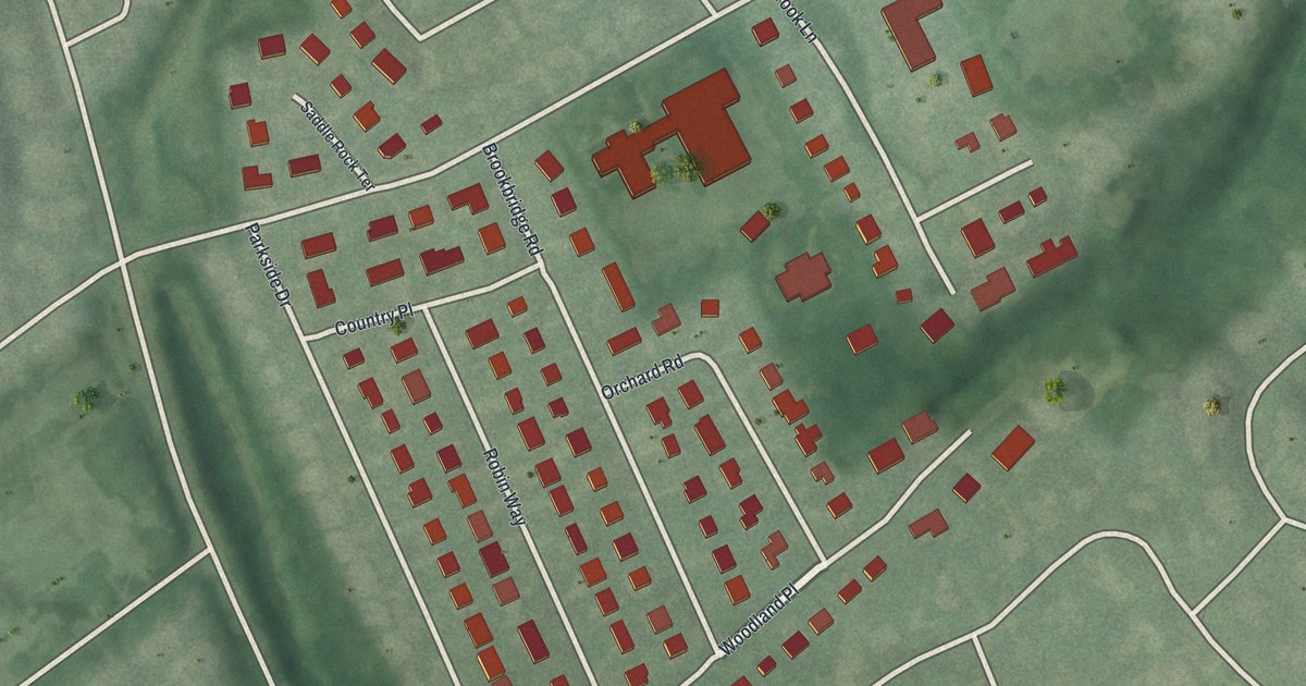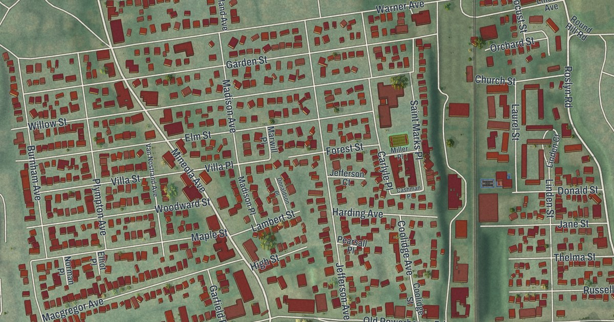
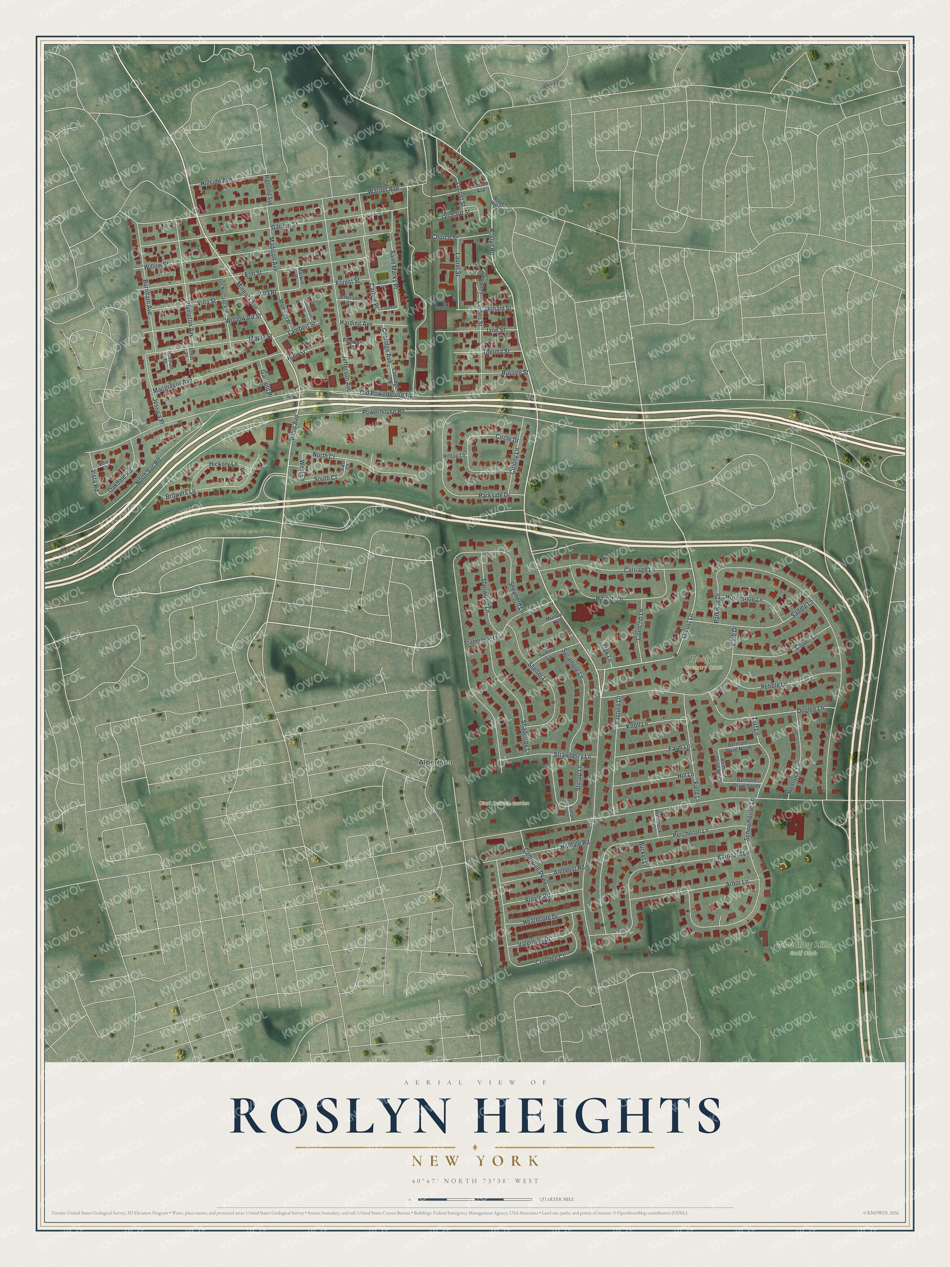
This beautifully detailed map of Roslyn Heights, New York was created in 2026 using aerial imagery combined with modern topographical, census, street and landmark data. It’s a one-of-a-kind view of Roslyn Heights that combines accurate data with a vintage aesthetic. The map shows every building in its true location, many of the roads carry their names, and the shaded topographic relief shows the shape of the land.
Explore an aerial view of Roslyn Heights, New York
On the map you’ll find Albertson and Clark Botanic Garden, along with Roslyn Road, Mineola Avenue, Willis Avenue, Locust Lane, Powerhouse Road, and more. If you look closely you can even find your house accurately drawn in its correct location. Zoom in on the preview to look for yours.
Did You Know?
In 1865 the Long Island Rail Road opened its Oyster Bay Branch with a stop here, and the area boomed. In 1892 developers began a project called Roslyn Highlands. Its eastern part was built as Roslyn Heights. By the late 1920s the whole area used that name.
Take a closer look at the Roslyn Heights map
Names on this map
These names are printed on this map.
Places: Clark Botanic Garden, Roslyn Country Club, Wheatley Hills Golf Club and Albertson.
Streets and roads: Roslyn Road, Mineola Avenue, Willis Avenue, Locust Lane, Powerhouse Road, Villa Place, South Court, Old Powerhouse Road, Parkway Drive, Shepherd Lane, Warner Avenue, Garden Street.
More street names, A to Z
Amherst Road, Arbor Lane, Argyle Road, Barnyard Lane, Belmont Drive North, Belmont Drive South, Belmont Drive West, Browers Lane, Bucket Lane, Burnham Avenue, Campbell Parkway, Carlyle Place, Carriage Lane, Cashman Place, Church Street, Circle Drive, Clover Lane, Club Drive, Colony Lane, Coolidge Avenue, Coolidge Street, Corncrib Lane, Croyden Court, Dogleg Lane, Donaldson Place, Donald Street, East Court, Elliot Place, Elm Street, Farm Lane, Field Lane, Forest Street, Garfield Place, Harding Avenue, Hayloft Lane, Heathcote Drive, Hemlock Lane, Hickory Lane, Highland Avenue, High Street, Hilldale Road, Hill Lane, Hillside Avenue, Hilltop Lane, Horseshoe Lane, Hummock Lane, Jane Street, Jefferson Avenue, Jefferson Court, Jessica Place, Knoll Lane, Lambert Street, Laurel Street, Lincoln Avenue, Linden Court, Linden Street, Locust Street, Macgregor Avenue, Madison Avenue, Madison Place, Maple Street, Marwill Place, Miller Place, Murray Lane, Norman Place, North Court, North Svc Road, Oakdale Road, Oak Lane, Orchard Street, Parkside Drive, Pasture Lane, Pearsall Place, Pebble Lane, Percheron Lane, Plympton Avenue, Round Hill Road, Russell Street, Saddle Lane, Saint Marks Place, Schoolhouse Lane, Shadetree Lane, Shelter Lane, Sherwood Lane, Snapdragon Lane, Steeple Lane, Stirrup Lane, Strawberry Lane, Summit Lane, Sycamore Lane, Thelma Street, Turf Lane, Valentine Drive, Van Nostrand Avenue, Villa Street, Vista Court, Vista Road, West Court, Willow Street, Woodward Street.
See it on a wall
The Roslyn Heights map as a framed print. Swipe for more.


This beautifully detailed map of Roslyn Heights makes an attractive addition to your office, library, or den, and it can even be used to teach children the geography and history of the area. It also makes a great gift for anyone with Roslyn Heights roots. When you’re done exploring, click here to get your copy of the Roslyn Heights map.