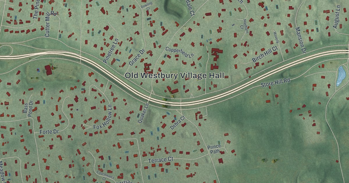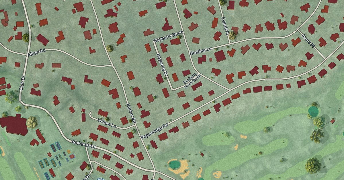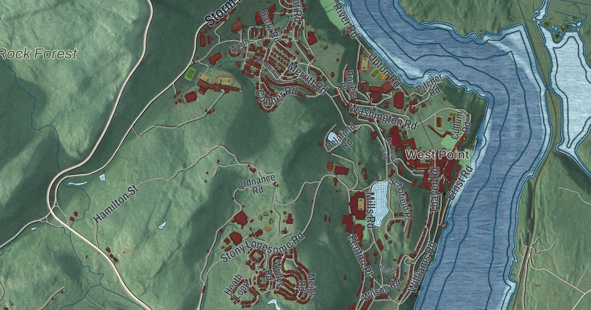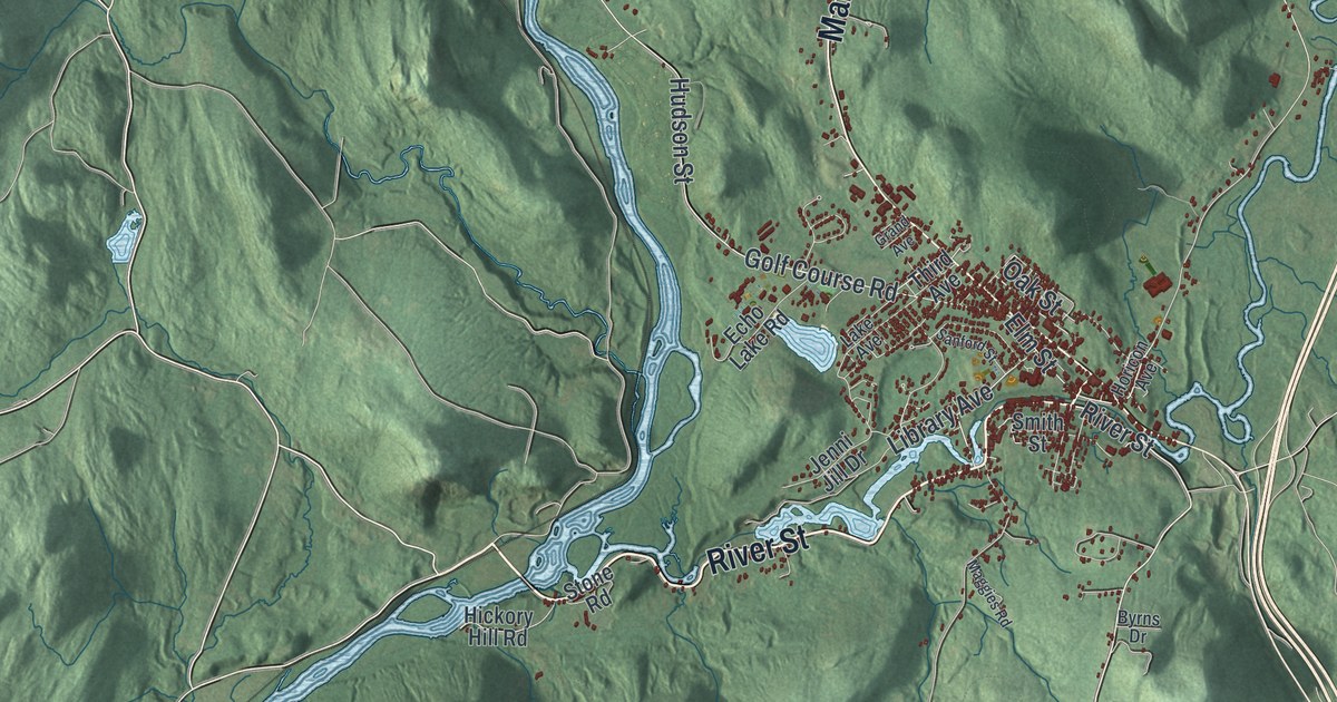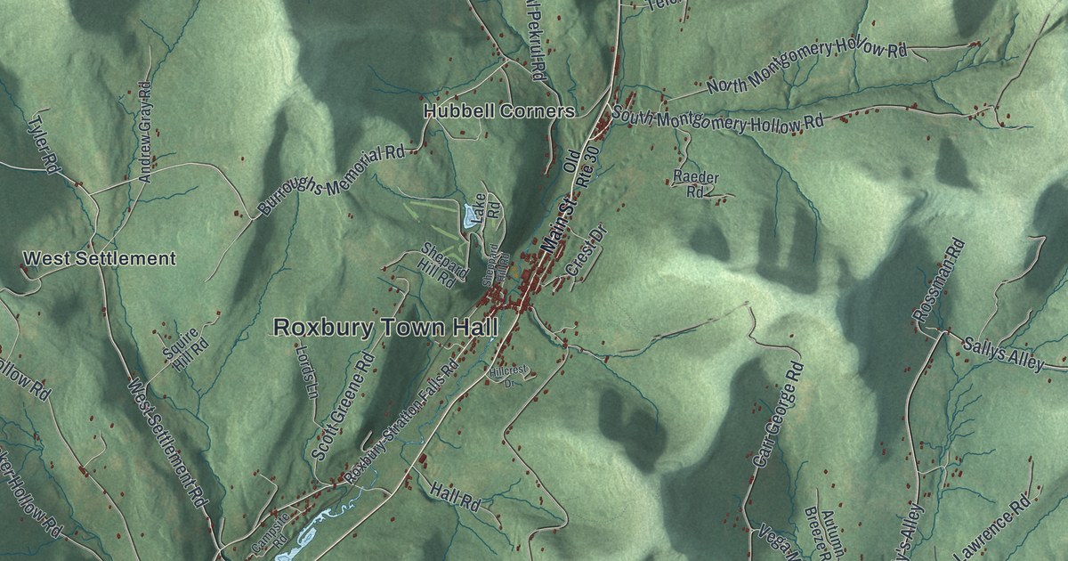
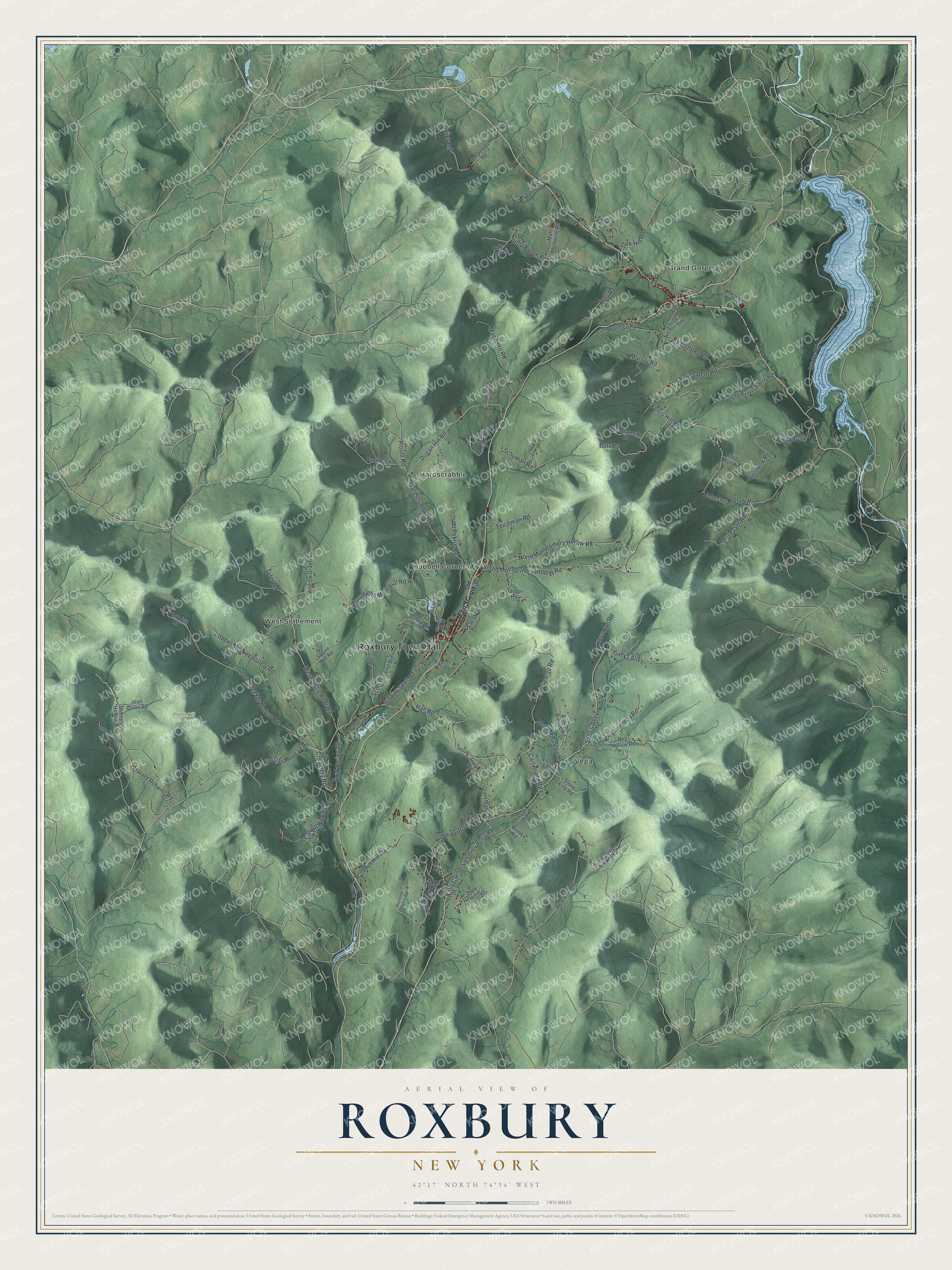
This beautifully detailed map of Roxbury, New York was created in 2026 using aerial imagery combined with modern topographical, census, street and landmark data. It’s a one-of-a-kind view of Roxbury that combines accurate data with a vintage aesthetic. The map shows every building in its true location, many of the roads carry their names, and the shaded topographic relief shows the shape of the land.
Explore an aerial view of Roxbury, New York
On the map you’ll find Roxbury Town Hall, Grand Gorge, Hardscrabble, Hubbell Corners, Vega, West Settlement, and Plattekill State Forest, along with Main Street, Settlement Road, Upper Meeker Hollow Road, Creamery Road, and more. If you look closely you can even find your house accurately drawn in its correct location. Zoom in on the preview to look for yours.
Did You Know?
Naturalist John Burroughs was born in Roxbury and made his home here. A memorial site now marks his birthplace. Railroad financier Jay Gould was born in the town too. The Jay Gould Memorial Church stands in the Main Street Historic District.
Take a closer look at the Roxbury map
Names on this map
These names are printed on this map.
Places: Roxbury Town Hall, Plattekill State Forest, Grand Gorge, Hardscrabble, Hubbell Corners, Vega and West Settlement.
Streets and roads: West Settlement Road, Upper Meeker Hollow Road, Creamery Road, Kelly Corners-Denver-Vega Road, Burroughs Memorial Road, Bailey Road, Sallys Alley, Red Kill Road, Sally's Alley, Vega Mountain Road, Johnson Hollow Road, Lower Meeker Hollow Road.
More street names, A to Z
Al Pekrul Road, Andrew Gray Road, Autumn Breeze Road, Batavia Kill Road, Baumback Road, Bed Hollow Road, Bill Dougherty Road, Bobby Hull Road, Brook Road, Burr Road, Cal Grant Road, Campsite Road, Carr George Road, Carroll Hinkley Road, Cartwright Road, Charcoal Road, Charles Dent Road, Cold Spring Road, Crest Drive, Cronk Lane, Deer Run Road, Denver Run Road, Dugan Hill Road, Fanny Brook Road, Ferris Hill Road, Ferris Hill Spur Road, Frank Cottone Road, Frevert Road, Gary Place, George Lawrence Road, Grant Morse Road, Hall Road, Hanford Shultis Road, Hardscrabble Road, Harold Roberts Road, Hillcrest Drive, Howard Greene Road, Intake Road, Irish Mountain Lane, Jean Collin Road, John Hewitt Spr, Johnson Road, Jump Brook Road, Kuhns Road, Lake Road, Lords Lane, Lore Lane, Macmore Road, Main Street, Matt Schwille Road, Mountainside Drive, Murray Road, New Kingston Mountain Road, North Montgomery Hollow Road, Old Ferris Farm Road, Old River Road, Old Route 30, Overlook Road, Ox Road, Park Lane, Plattekill Road, Pleasant Vw Drive, Ploutz Road, Polli Road, Powell Road, Raeder Road, Rossman Road, Roxbury-Stratton Falls Road, Schuman Road, Scott Greene Road, Scudder Hill Road, Shepard Hill Road, Sheppard Hill Road, South Montgomery Hollow Road, Squire Hill Road, Staab Road, Stewart Road, Stone Line Road, Teichman Road, Thompson Hollow Road, Turk Hill Road, Tyler Road, Upper Gorge View Lane, Van Aken Road, Yale Road.
See it on a wall
The Roxbury map as a framed print. Swipe for more.


This beautifully detailed map of Roxbury makes an attractive addition to your office, library, or den, and it can even be used to teach children the geography and history of the area. It also makes a great gift for anyone who grew up in Roxbury or moved away. When you’re done exploring, click here to get your copy of the Roxbury map.