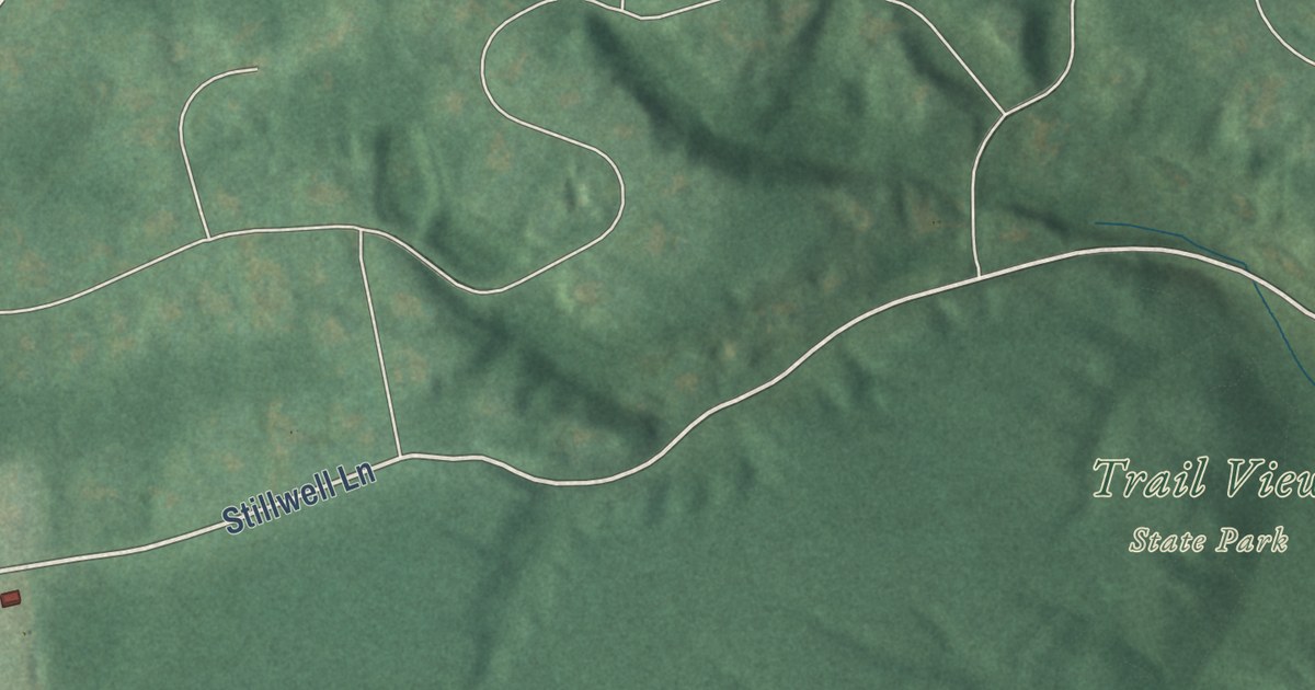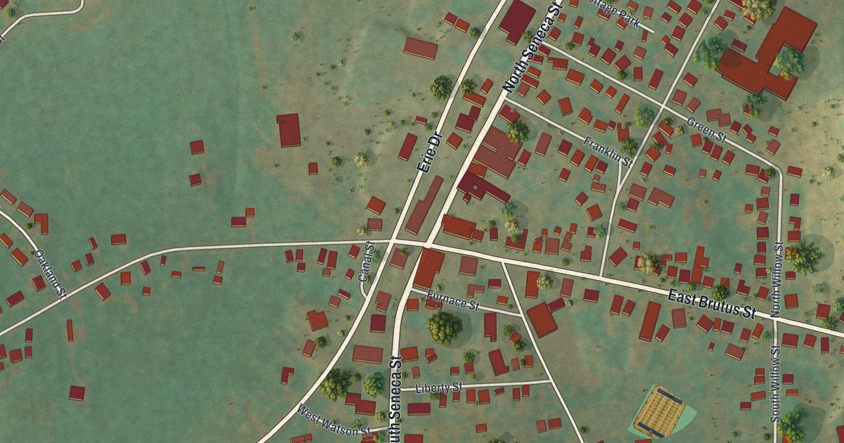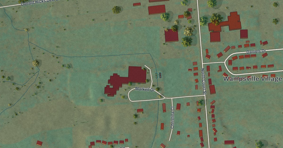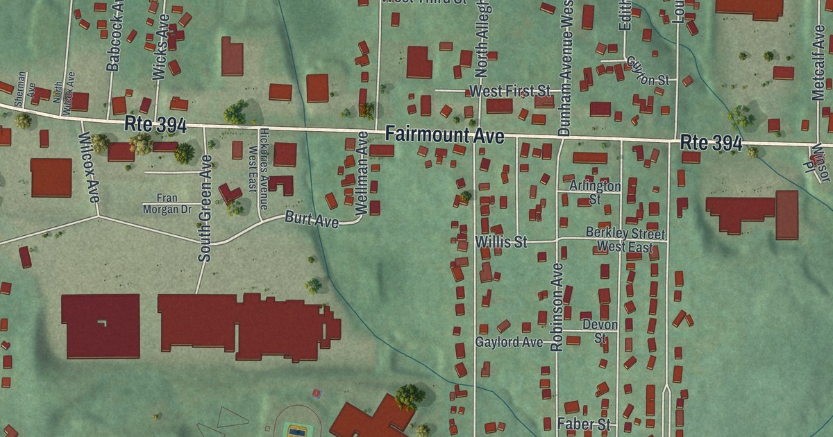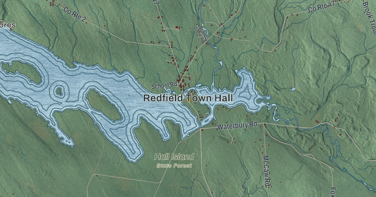
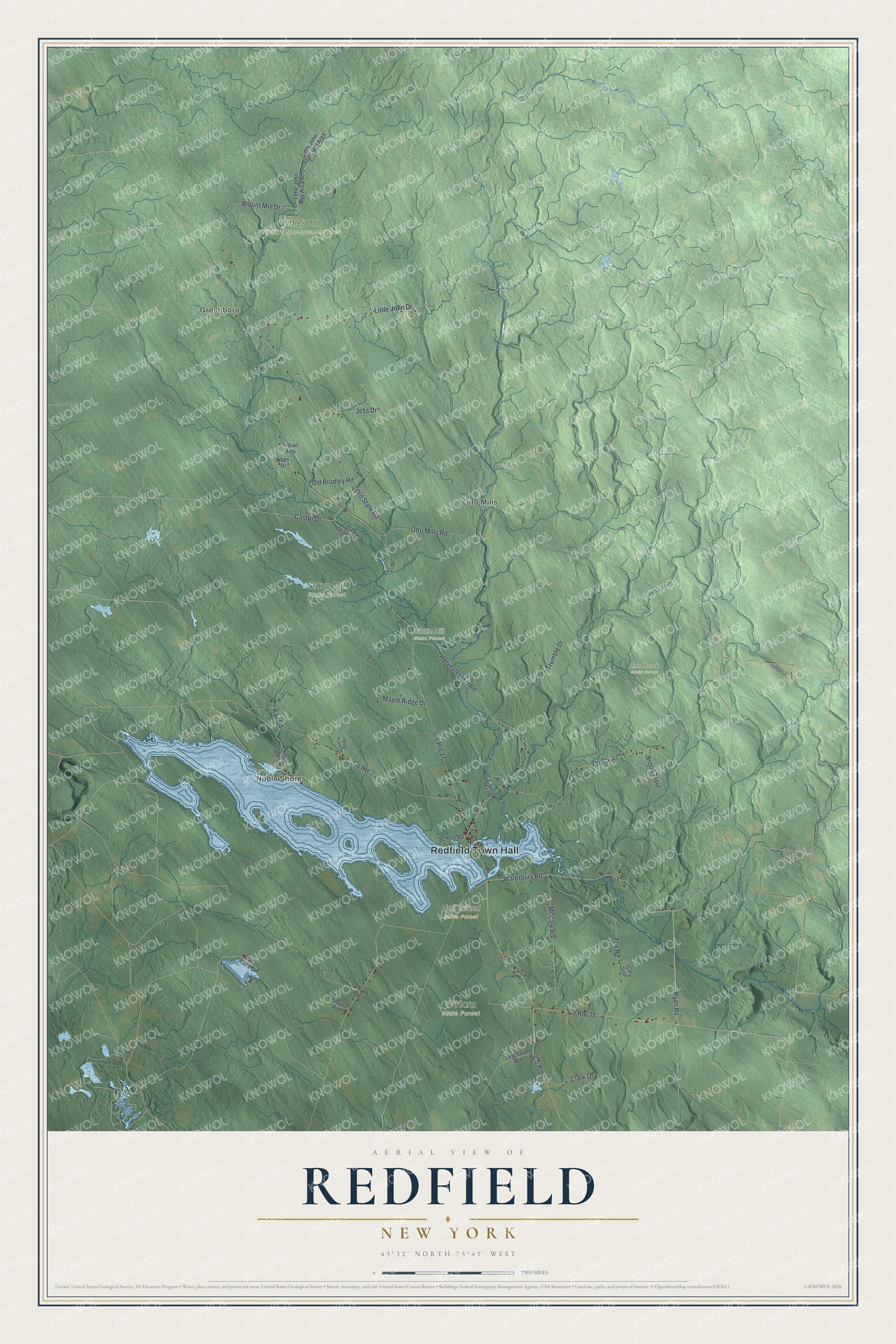
This beautifully detailed map of Redfield, New York was created in 2026 using aerial imagery combined with modern topographical, census, street and landmark data. It’s a one-of-a-kind view of Redfield that combines accurate data with a vintage aesthetic. The map shows every building in its true location, many of the roads carry their names, and the shaded topographic relief shows the shape of the land.
Explore an aerial view of Redfield, New York
On the map you’ll find Redfield Town Hall, Greenboro, Noble Shores, Otto Mills, Battle Hill State Forest, Hall Island State Forest, Line Brook State Forest, and Littlejohn Wildlife Management Area, along with Waterbury Road, Ryan Road, Fox Road, Old State Road, and more. If you look closely you can even find your house accurately drawn in its correct location. Zoom in on the preview to look for yours.
Did You Know?
Redfield lies in the lake effect snowbelt and is known for frequent, heavy snow. In February 2007 the town set an unofficial record when 141 inches fell in ten days. Redfield was carved from part of Mexico in 1800.
Take a closer look at the Redfield map
Names on this map
These names are printed on this map.
Places: Redfield Town Hall, Greenboro, Noble Shores, Otto Mills, Battle Hill State Forest, Hall Island State Forest, Line Brook State Forest, Littlejohn Wildlife Management Area, O'Hara State Forest and Stave Mill State Forest.
Streets and roads: County Route 27, Waterbury Road, Ryan Road, County Route 39, Fox Road, Old State Road, Blount Mill Drive, Old Bradley Road, County Route 17, Little John Drive, County Route 47, County Route 2.
More street names, A to Z
Abes Drive, Beaver Creek Road, Brook Trout, Castor Drive, Castor Drive Spr, Cat Trail, Clark Drive, Harvester Mill Road, Indian Hills, Jess Drive, Kay Road, Little John Mgt Area Sthy, Little John State Mgt Area, Lorton Lake Drive, Maple Ridge Drive, McCaw Road, Noble Shores Road, Otto Mills Road, School Road, Shady Lane Drive, Snow Road, Teachout Road, Trumble Drive.
See it on a wall
The Redfield map as a framed print. Swipe for more.


This beautifully detailed map of Redfield makes an attractive addition to your office, library, or den, and it can even be used to teach children the geography and history of the area. It also makes a great gift for anyone with Redfield roots. When you’re done exploring, click here to get your copy of the Redfield map.