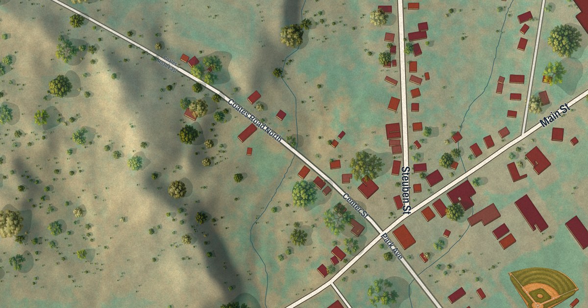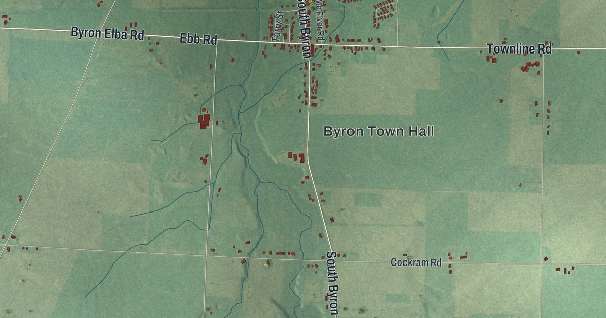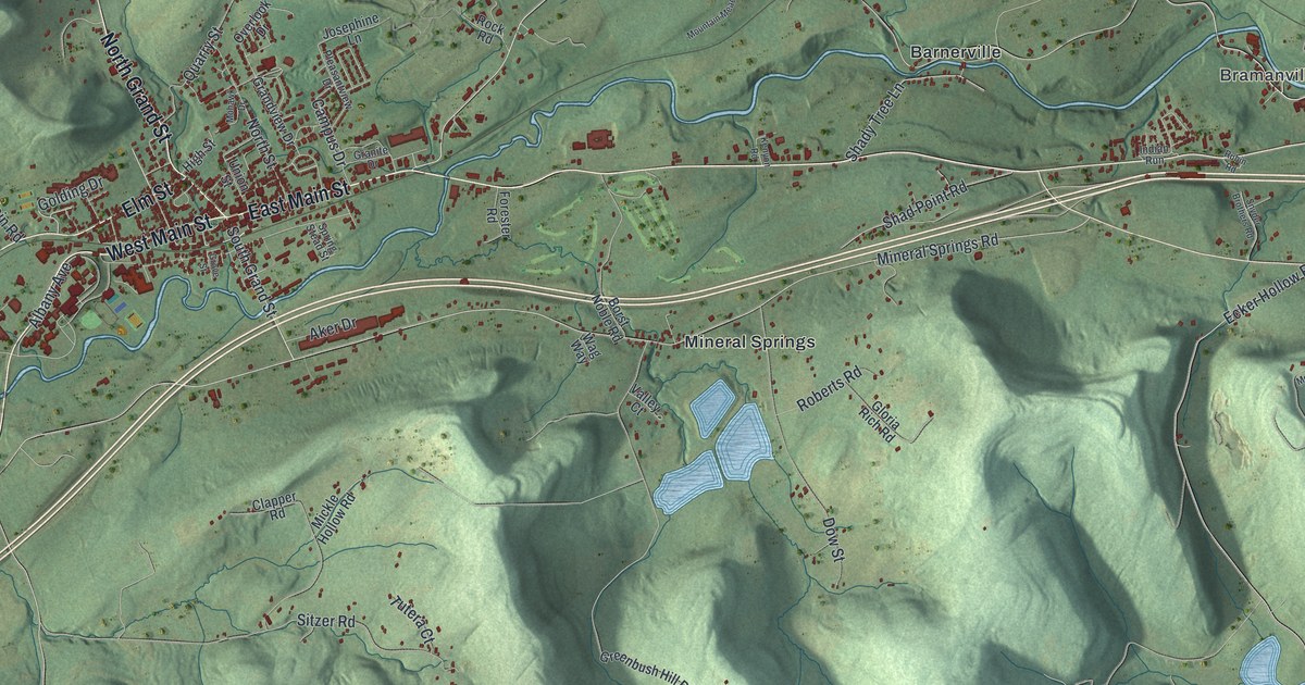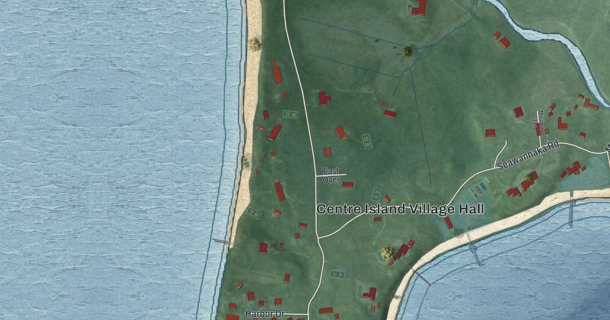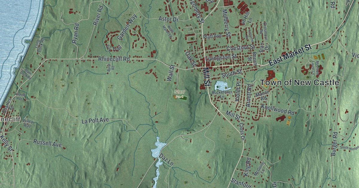
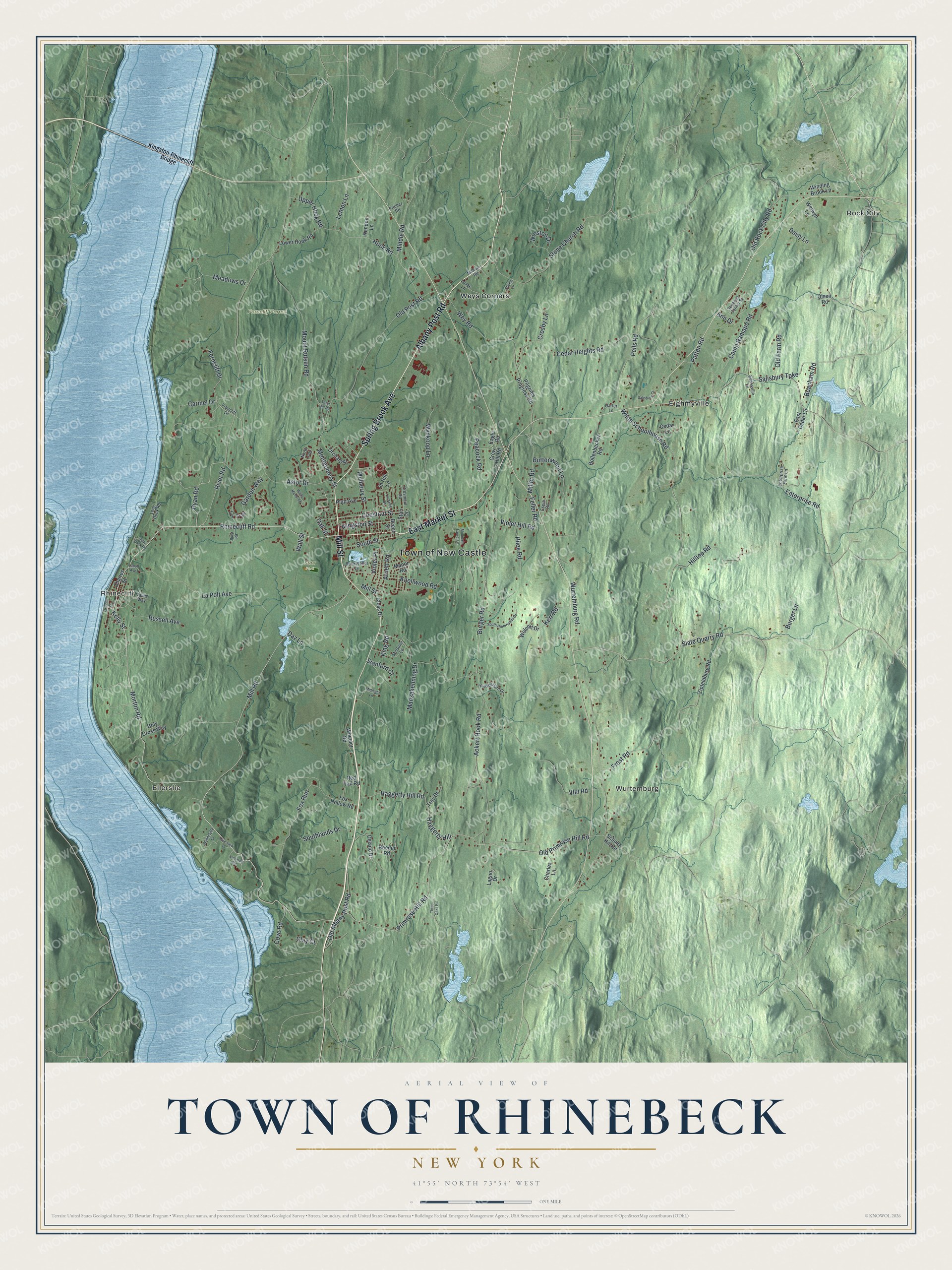
This beautifully detailed map of the Town of Rhinebeck, New York was created in 2026 using aerial imagery combined with modern topographical, census, street and landmark data. It’s a one-of-a-kind view of the Town of Rhinebeck that combines accurate data with a vintage aesthetic. The map shows every building in its true location, many of the roads carry their names, and the shaded topographic relief shows the shape of the land.
Explore an aerial view of the Town of Rhinebeck, New York
On the map you’ll find Kingston-Rhinecliff Bridge, Ellerslie, Rhinecliff, Wurtemburg, Eighmyville, Rock City, Ferncliff Forest, and Starr Park, along with Mill Street, Market Street, Spring Brook Avenue, Albany Post Road, and more. If you look closely you can even find your house accurately drawn in its correct location. Zoom in on the preview to look for yours.
Did You Know?
In the mid-1770s, former soldier Richard Montgomery moved to Rhinebeck with his wife, a Livingston. He had barely started farming when the Revolution began. Made a general in the Continental Army, he died at the Battle of Quebec in late 1775. His cottage still stands on Livingston Street.
Take a closer look at the Town of Rhinebeck map
Names on this map
These names are printed on this map.
Places: Town of New Castle, Ellerslie, Rhinecliff, Wurtemburg, Ferncliff Forest, Starr Park, Eighmyville, Rock City and Weys Corners.
Streets and roads: Mill Street, East Market Street, Spring Brook Avenue, Albany Post Road, Mill Road, Rhinecliff Road, Ryan Road, Kelly Street, River Road, Montgomery Street, Stone Church Road, White Schoolhouse Road.
More street names, A to Z
Ackert Hook Road, Ann Drive, Arnett Road, Astor Drive, Beacham Road, Beech Street, Bollenbecker Road, Buist Road, Burger Lane, Burger Road, Buttonwood Lane, Camp Ramapo Road, Carmel Drive, Cedar Heights Road, Cedar Lane, Charles Lane, Charles Street, Chestnut Street, Clay Court, Closs Drive, Cove Road, Crosby Lane, Crosmour Road, Crow Hill Road, Daisy Lane, Daz Lane, Delano Drive, Eagle Road, East Cedar Lane, Enterprise Farm Lane, Enterprise Road, Espie Road, Evansville Lane, Feller Road, Ferncliff Drive, Fox Hollow Road, Fox Run, Francliff Drive, Frost Road, Garden Way, Grinnell Street, Haggerty Hill, Haggerty Hill Road, Harter Lane, Hilee Road, Hilltop Road, Holy Cross Way, Hook Road, Ivy Trail, Kendon Lane, Kerr Road, King Road, Kingston-Rhinecliff Bridge, Kipsbergen Drive, Knollwood Road, Lagno Drive, La Polt Avenue, Lapolt Avenue, Lemon Lane, Linwood Road, Livingston Street, Long Dock Road, Lorraine Drive, Losee Lane, Lower Hook Road, Manor Road, Mansakenning Drive, McGuire Lane, Meadows Drive, Middle Road, Midnight Lane, Milham Road, Miller Road, Morton Road, Mountain Laurel Lane, Mount Rutsen Road, Mulberry Street, North Loop, Oak Street, Old Albany Post Road, Old Farm Road, Old Post Road, Old Primrose Hill Road, Old Rock City Road, Olsen Road, Orchard Street, Patten Road, Peacock Road, Pells Road, Pilgrims Progress Road, Pitcher Road, Platt Avenue, Primrose Hill Road, Red Tail Road, Reeder Road, Riverview Drive, Rockefeller Lane, Russell Avenue, Salisbury Court, Salisbury Turnpike, Schultz Hill Road, Sepasco Center Street, Slate Dock Road, Slate Quarry Road, South Hinterlands Drive, Southlands Drive, South Street, Stanford Court, Starr Drive, Stickle Lane, Tator Hill Road, Three Oaks Road, Troy Drive, Upper Hook Road, Valley Way, Violet Hill Road, Violet Place, Vlei Road, Wall Street, Wells Manor Lane, Welwyn Lane, Wey Road, Wheeler Road, Winding Brook Lane, Winston Drive, Wolcott Drive, Wurtemburg Road, Wyndclyffe Court, Wynkoop Lane, Zipfeldburg Road.
See it on a wall
The Rhinebeck map as a framed print. Swipe for more.


This beautifully detailed map of the Town of Rhinebeck makes an attractive addition to your office, library, or den, and it can even be used to teach children the geography and history of the area. It also makes a great gift for anyone who grew up in the Town of Rhinebeck or moved away. When you’re done exploring, click here to get your copy of the Town of Rhinebeck map.