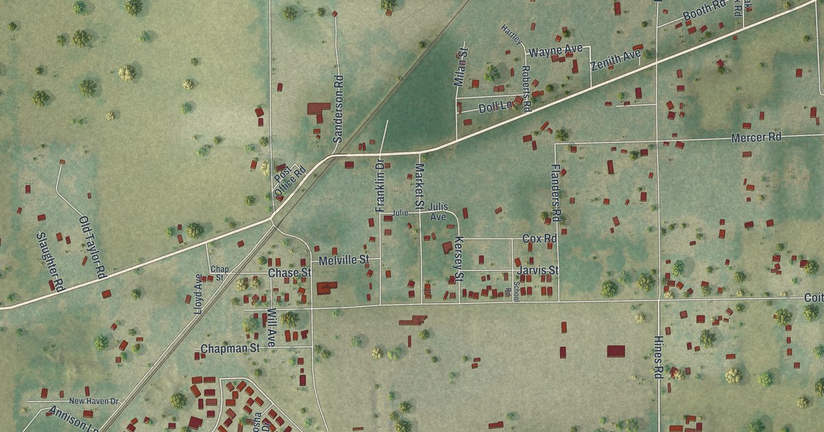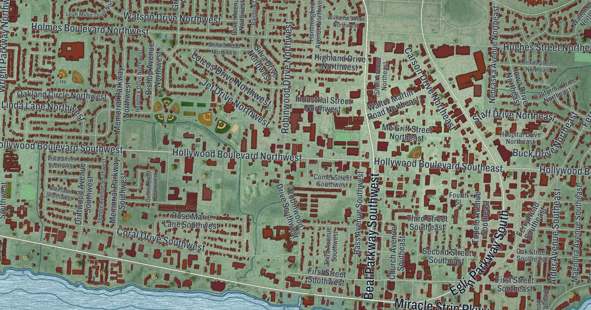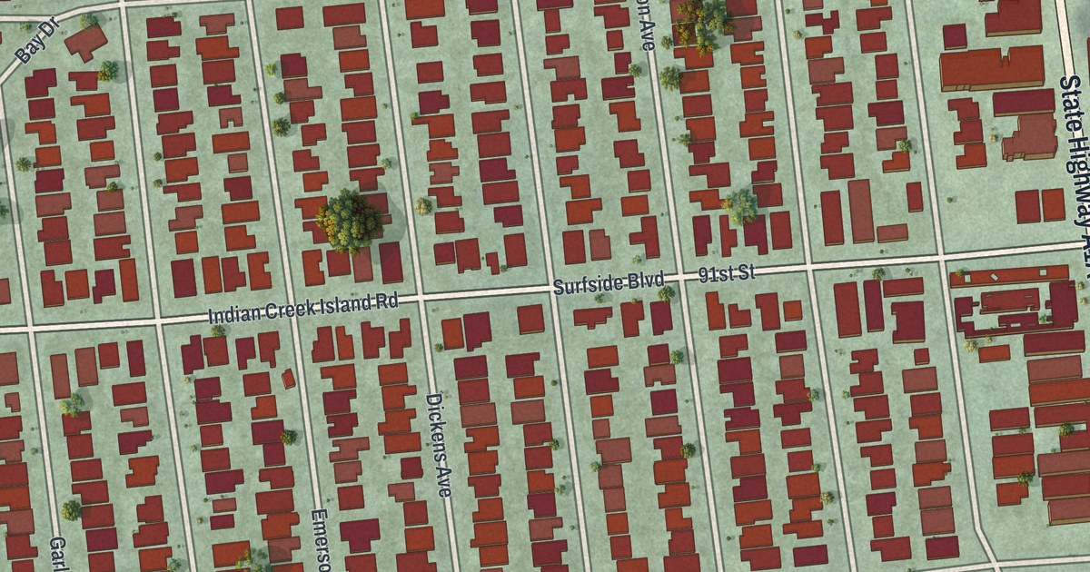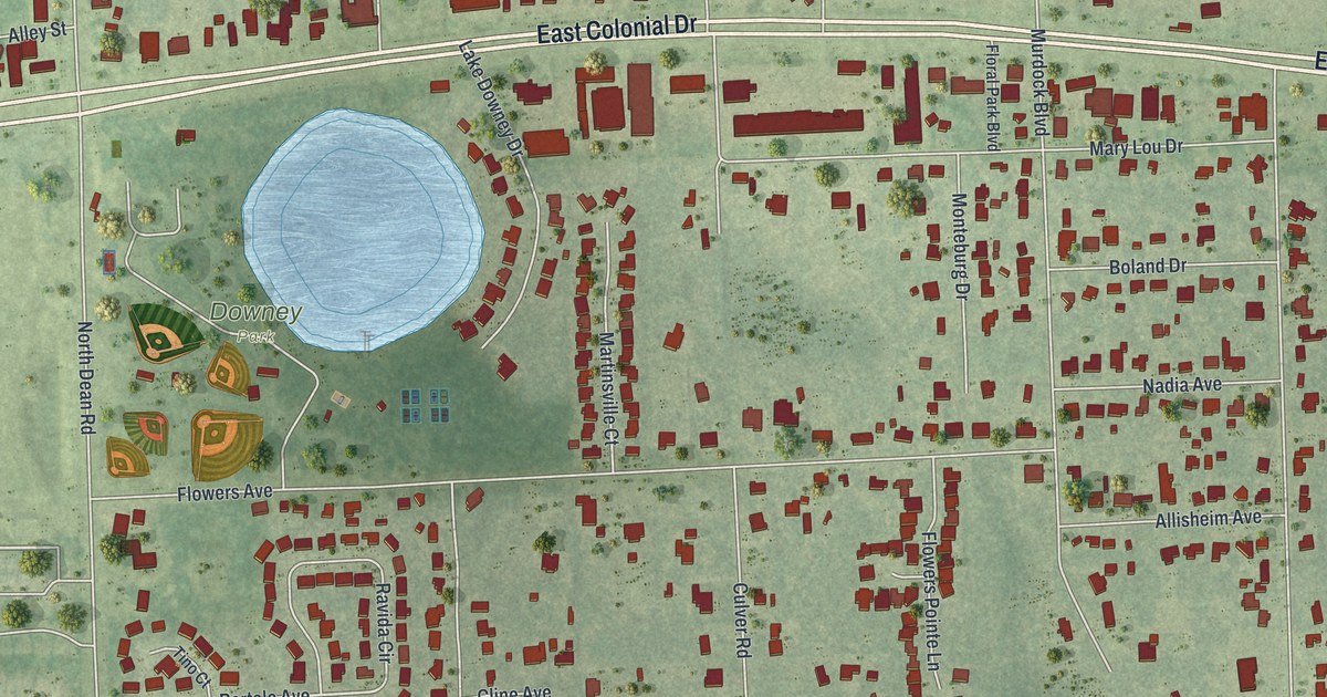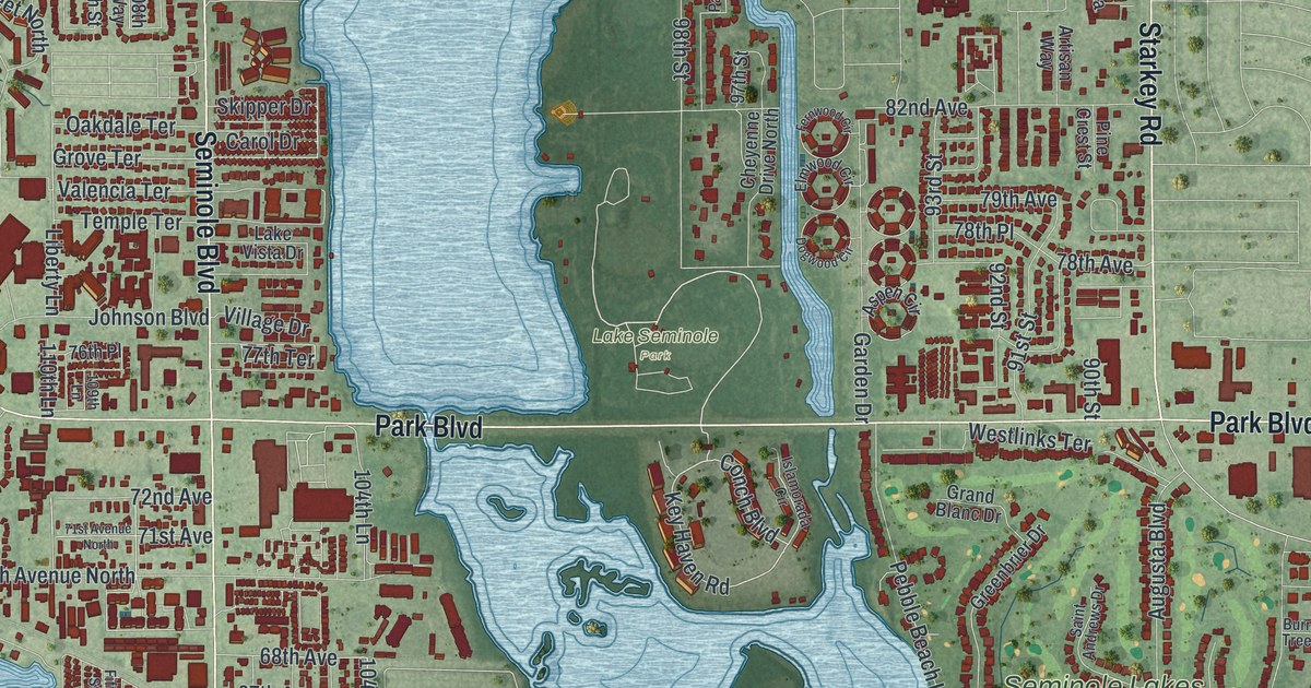
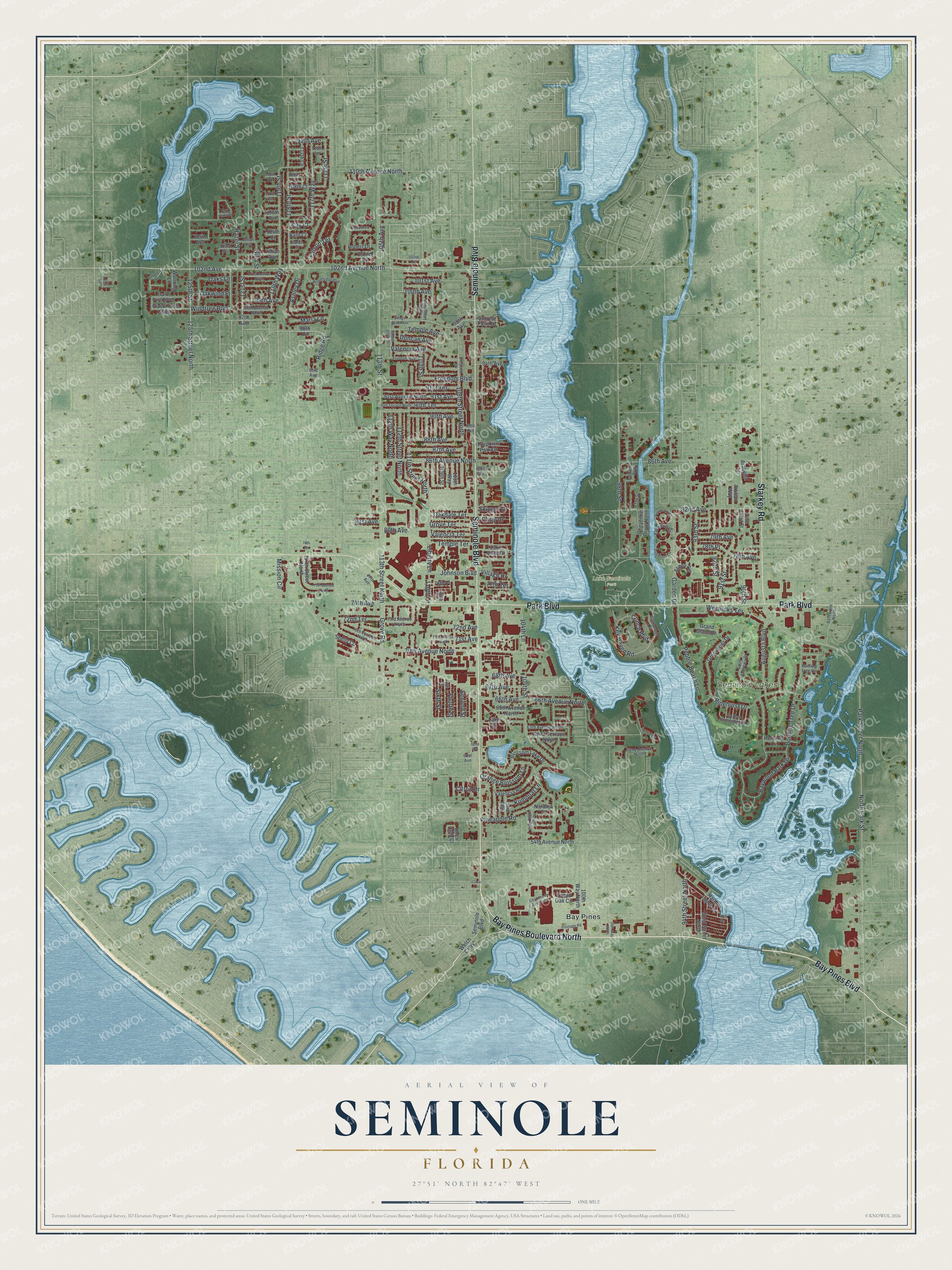
This beautifully detailed map of Seminole, Florida was created in 2026 using aerial imagery combined with modern topographical, census, street and landmark data. It’s a one-of-a-kind view of Seminole that combines accurate data with a vintage aesthetic. The map shows every building in its true location, many of the roads carry their names, and the shaded topographic relief shows the shape of the land.
Explore an aerial view of Seminole, Florida
On the map you’ll find Lake Seminole Park, Bay Pines, and Seminole Lakes, along with Bay Pines Boulevard North, Bay Pines Boulevard, Starkey Road, Seminole Boulevard, Park Boulevard, 102nd Avenue, Windtree Boulevard, 118th Street, 119th Street, and more. If you look closely you can even find your house accurately drawn in its correct location. Zoom in on the preview to look for yours.
Did You Know?
Settlers first made homes at Seminole in the 1840s. The community took its name from the Seminole tribe, whose descendants still lived in the area at the time. It became an incorporated city in 1970.
Take a closer look at the Seminole map
Names on this map
These names are printed on this map.
Places: Lake Seminole Park, Bay Pines and Seminole Lakes.
Streets and roads: Bay Pines Boulevard North, Bay Pines Boulevard, Starkey Road, Seminole Boulevard, Park Boulevard, 102nd Avenue, Windtree Boulevard, 118th Street, 119th Street, Grove Terrace, 112th Avenue, Key Haven Road.
More street names, A to Z
48th Terrace, 54th Avenue North, 61st Avenue, 62nd Avenue, 62nd Avenue North, 62nd Terrace North, 63rd Avenue North, 65th Avenue North, 66th Avenue, 66th Avenue North, 67th Avenue, 68th Avenue, 70th Avenue North, 70th Terrace North, 71st Avenue, 71st Avenue North, 72nd Avenue, 72nd Terrace, 73rd Avenue North, 74th Avenue, 75th Avenue North, 76th Place, 77th Avenue, 77th Terrace, 78th Avenue, 78th Place, 78th Terrace, 79th Avenue, 80th Avenue, 81st Avenue, 82nd Avenue, 84th Lane North, 85th Avenue, 86th Avenue, 86th Avenue North, 87th Avenue, 88th Avenue, 89th Avenue, 90th Avenue, 90th Street, 90th Terrace, 90th Terrace North, 91st Avenue, 91st Avenue North, 91st Street, 91st Terrace, 92nd Street, 92nd Street North, 93rd Avenue, 93rd Street, 94th Avenue, 94th Street North, 96th Place, 97th Avenue, 97th Street, 98th Avenue, 98th Avenue North, 98th Street, 98th Way North, 99th Avenue, 100th Avenue, 100th Way North, 101st Avenue, 101st Avenue North, 102nd Avenue North, 102nd Court, 102nd Terrace, 103rd Avenue, 104th Avenue, 104th Court, 104th Lane, 104th Street, 105th Avenue, 106th Avenue, 107th Avenue, 108th Avenue, 108th Court, 108th Street North, 108th Way, 109th Court, 109th Lane, 109th Street, 110th Avenue North, 110th Lane, 110th Lane North, 110th Street, 111th Street North, 111th Terrace, 112th Street North, 112th Way North, 113th Street, 113th Street North, 117th Lane, 117th Street, 117th Street North, 117th Way, 119th Way, 121st Street, 125th Street, 125th Street North, 130th Lane, Arabella Lane, Artisan Way, Ashley Drive, Aspen Circle, Augusta Boulevard, Barb Court, Baywood Park Drive, Blossom Lake Drive, Boca Club Court, Botanica Drive, Burning Tree Circle, Burning Tree Drive, Canterbury Lane, Carol Drive, Cheyenne Drive North, Citron Drive, Clara Lane, Conch Boulevard, Courtney at Bay Pines, Crestview Street, Dogwood Circle, Duncan Avenue, Elmwood Circle, Falcon Terrace, Fernwood Circle, Fifth Street, Fourth Street, Frank Drive North, Frank Drive South, Freedom Boulevard, Freedom Way, Frontage Road, Garden Drive, Golden Grove Street, Golden Horseshoe Drive, Grand Blanc Drive, Grand Oak Circle, Greenbrier Drive, Grove Road, Harbor Lights Drive, Hazel Street, Hershey Lane, Islamorada Circle, Johnson Boulevard, Julian Avenue, Kay Court, Kumquat Lane, Lake Drive, Lake Vista Drive, Liberty Lane, Lillian Avenue, Lime Way, Marla Lane, Mission Circle, Naranja Street, Nina Street, North Park Street, Oakdale Terrace, Oaks Lane, Oakwind Place, Orange Blossom Lane, Park Place Drive, Park Street North, Parkwood Boulevard, Pebble Beach Lane, Pineapple Road, Pine Crest Street, Pinehurst Drive, Porpoise Park Drive, Ridge Road, Robert Drive, Saint Andrews Drive, Saree Court, Second Street, Shelly Circle, Shoreline Drive, Sixth Street, Skipper Drive, Sunrise Point Drive, Tangelo Road North, Temple Avenue, Temple Terrace, Valencia Avenue, Valencia Road, Valencia Terrace, Village Drive, Village Green Avenue, Waltzing Lane, Welch Causeway, Westlinks Terrace, Woodbridge Boulevard.
See it on a wall
The Seminole map as a framed print. Swipe for more.


This beautifully detailed map of Seminole makes an attractive addition to your office, library, or den, and it can even be used to teach children the geography and history of the area. It also makes a great gift for anyone with Seminole roots. When you’re done exploring, click here to get your copy of the Seminole map.