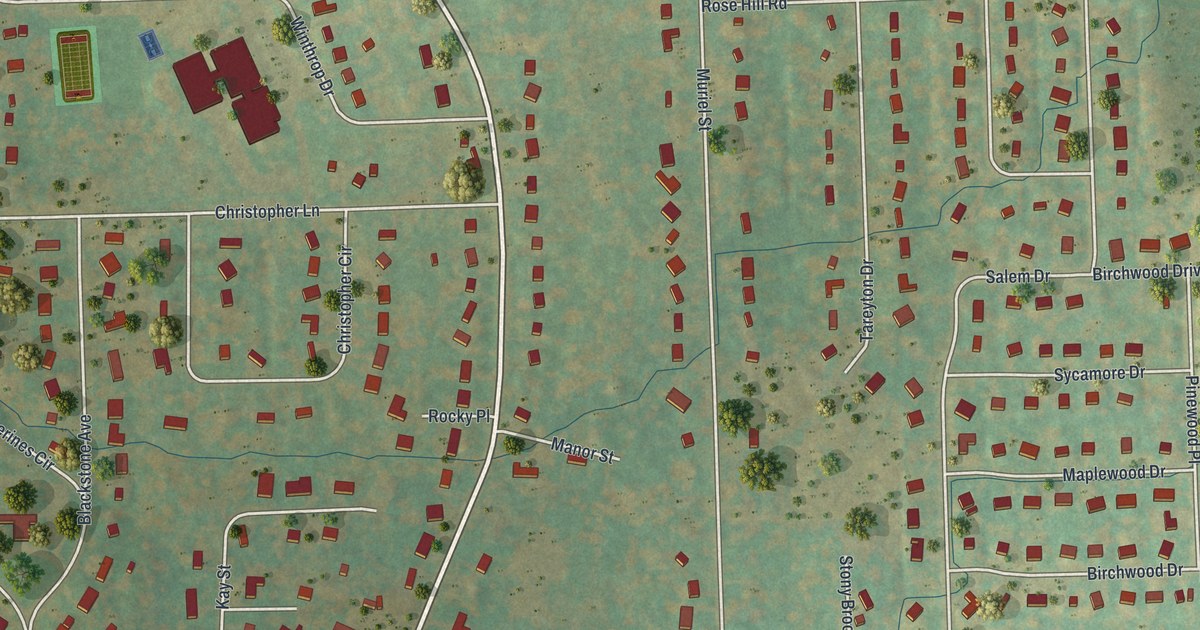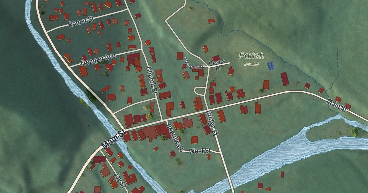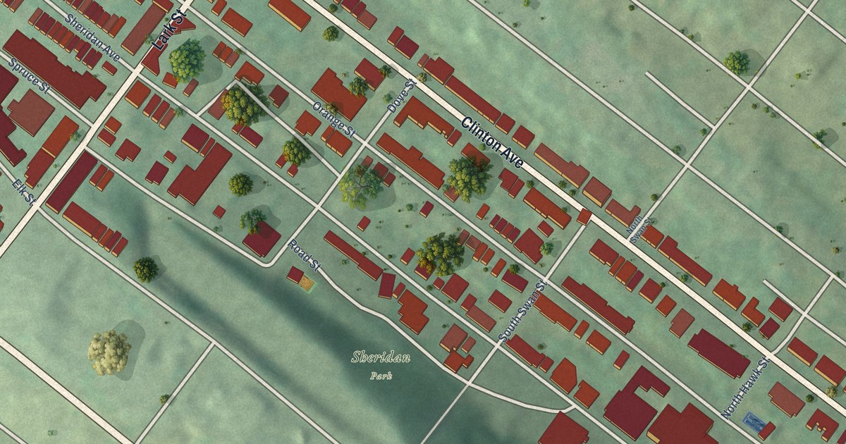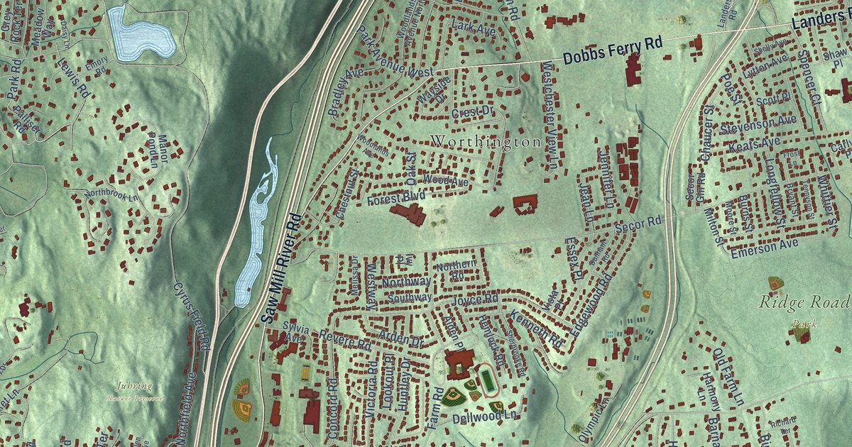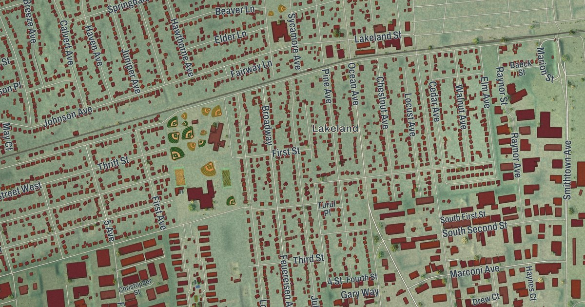
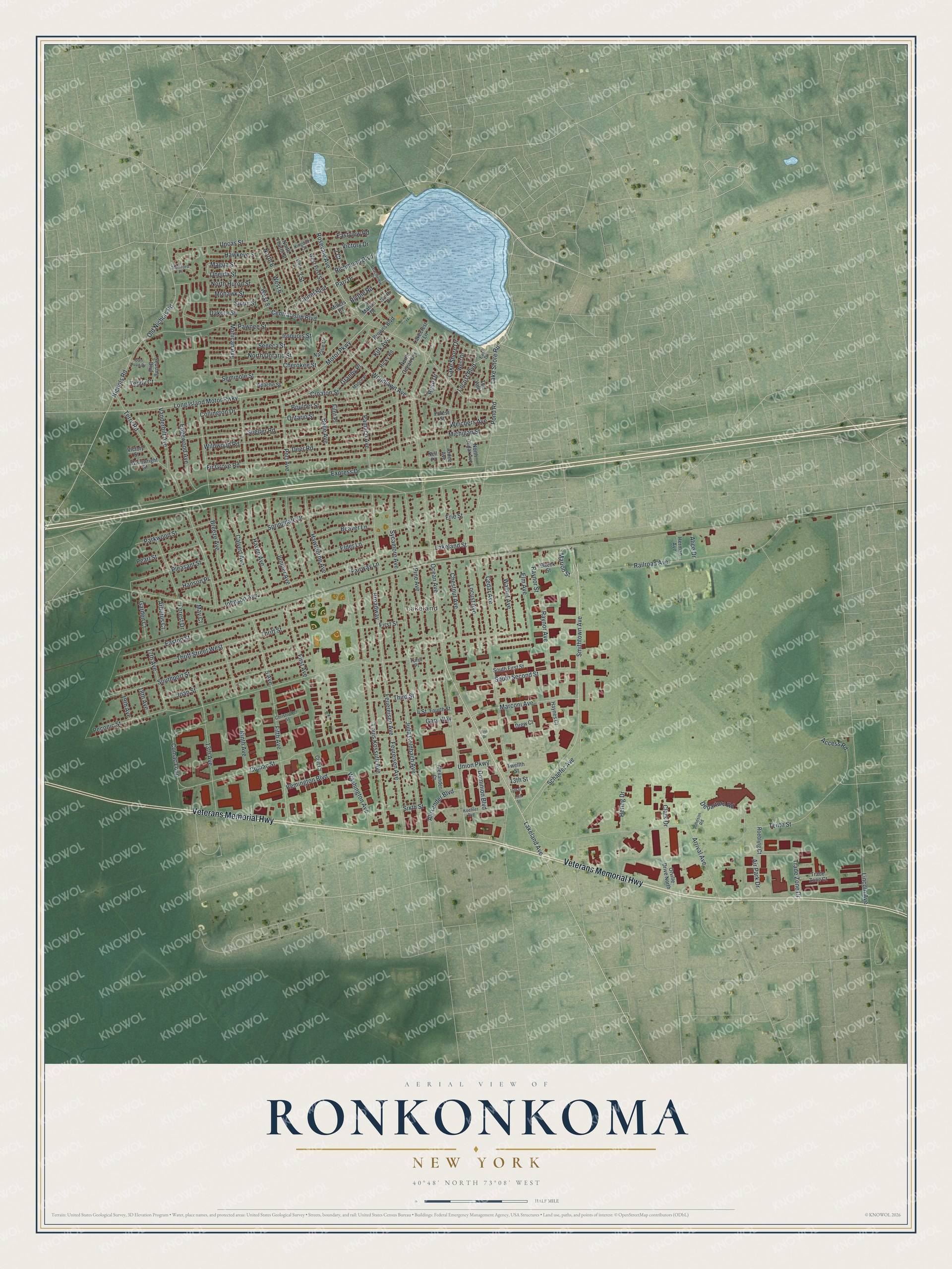
This beautifully detailed map of Ronkonkoma, New York was created in 2026 using aerial imagery combined with modern topographical, census, street and landmark data. It’s a one-of-a-kind view of Ronkonkoma that combines accurate data with a vintage aesthetic. The map shows every building in its true location, many of the roads carry their names, and the shaded topographic relief shows the shape of the land.
Explore an aerial view of Ronkonkoma, New York
On the map you’ll find Lakeland, along with Veterans Memorial Highway, Easton Street, Railroad Avenue, Smithtown Avenue, Lakeland Avenue, and more. If you look closely you can even find your house accurately drawn in its correct location. Zoom in on the preview to look for yours.
Did You Know?
Ronkonkoma takes its name from nearby Lake Ronkonkoma. The lake name comes from an Algonquian phrase meaning boundary fishing-lake. The hamlet was also the end point of the Vanderbilt Motor Parkway. It was the first road in the country built only for automobiles.
Take a closer look at the Ronkonkoma map
Names on this map
These names are printed on this map.
Places: Lakeland.
Streets and roads: Veterans Memorial Highway, Easton Street, Railroad Avenue, Smithtown Avenue, Lakeland Avenue, Marconi Avenue, Marion Street, Magua Street, Johnson Avenue, Laurel Boulevard, West 6, Lake Shore Road.
More street names, A to Z
2 Court, 3 Street, 4 Street, 5 Avenue, 13th Avenue, 13th Street, 14th Street, 15th Street, 17th Avenue, 18th Avenue, 19th Avenue, Access Road, Air Park Drive, Alexander Boulevard, Alexander Court, Alice Drive, Apache Street, Arbutus Court, Ardee Avenue, Arrival Avenue, Baeck Street, Beachview Place, Beaver Lane, Belle Avenue, Blythe Road, Boulder Street, Breeze Avenue, Broadway, Browns Boulevard, Calvert Avenue, Cedar Avenue, Central Islip Boulevard, Cherokee Street, Chestnut Avenue, Christopher Street, Clark Drive, Collington Drive, Colt Court, Comac Loop, Comac Street, Croaton Street, Dakota Street, Deer Road, Departure Road, Dominion Boulevard, Drew Court, East Drive, Eastview Road, Edgewood Avenue, Elder Lane, Elm Avenue, Erie Street, Express Drive, Fairway Lane, Feuereisen Avenue, Feureisen Avenue, Fifth Avenue, Fifth Drive, Filnt Place, Fir Grove Road, First Avenue, First Street, Forest Drive, Forest Street, Fourth Street, Garden Court, Gary Way, Granby Place, Hanson Place, Haven Avenue, Hawkeye Street, Hawthorne Avenue, Haynes Court, Hering Drive, Herman Avenue, Iroquois Street, Joan Street, Johnson Road, Julia Goldbach Avenue, Juniper Avenue, Kingdom Court, Kirk Avenue, Koehler Avenue, Lakecrest Lane, Lakeland Street, Lake Shore Drive, Lincoln Avenue, Locust Avenue, Locust Boulevard, Long Island Motor Pwky, Louis Kossuth Avenue, Marion Drive, Matice Place, May Court, Michigan Street, Millers Court, Mohawk Street, Mohican Avenue, Motor Parkway, Mumford Place, Natalie Court, Neil Place, Nichols Road, Ninth Avenue, North 6, North Cedar Avenue, North Drive, North Fourth Street, North Huron Street, North Ocean Avenue, North Ontario Street, Ocean Avenue, Old Nichols Road, Oneida Street, Ontario Street, Orville Drive North, Pamlico Avenue, Parkwood Street, Parr Drive, Pawnee Street, Pearl Street, Peconic Street, Pine Avenue, Pleasant Street, Pond Road, Port Avenue, Raynor Avenue, Raynor Street, Remington Boulevard, Richmond Boulevard, Ricky Road, Roebling Court, Rose Drive, Rosevale Avenue, San Juan Drive, Schaefer Avenue, Seminole Street, Seneca Street, Seusing Boulevard, Shelter Road, Sioux Street, Sixth Street, South First Street, Southport Street, South Second Street, Springdale Drive, Sycamore Avenue, Teddy Court, Tenth Street, Terry Road, The Vale, Third Street, Thrift Street, Thrift Street West, Trade Zone Court, Trade Zone Drive, Turul Place, Twelfth Street, Uncas Street, Union Parkway, Vanderbilt Avenue, Victory Drive, Victory Street, Wainwright Street, Walnut Avenue, Washington Avenue, Weichers Avenue, West 3, West 8, West Drive, West First Street, Wildwood Road, Woodlawn Avenue.
See it on a wall
The Ronkonkoma map as a framed print. Swipe for more.


This beautifully detailed map of Ronkonkoma makes an attractive addition to your office, library, or den, and it can even be used to teach children the geography and history of the area. It also makes a great gift for anyone who grew up in Ronkonkoma or moved away. When you’re done exploring, click here to get your copy of the Ronkonkoma map.