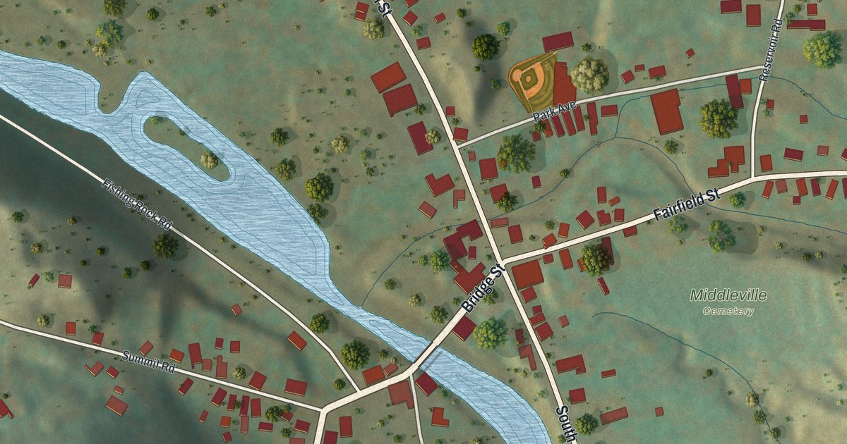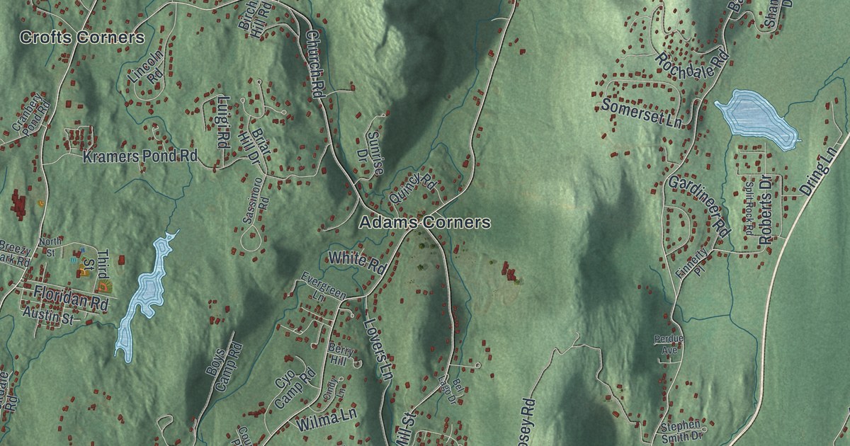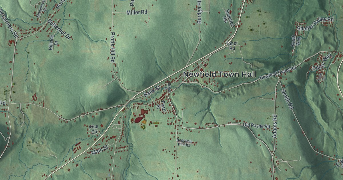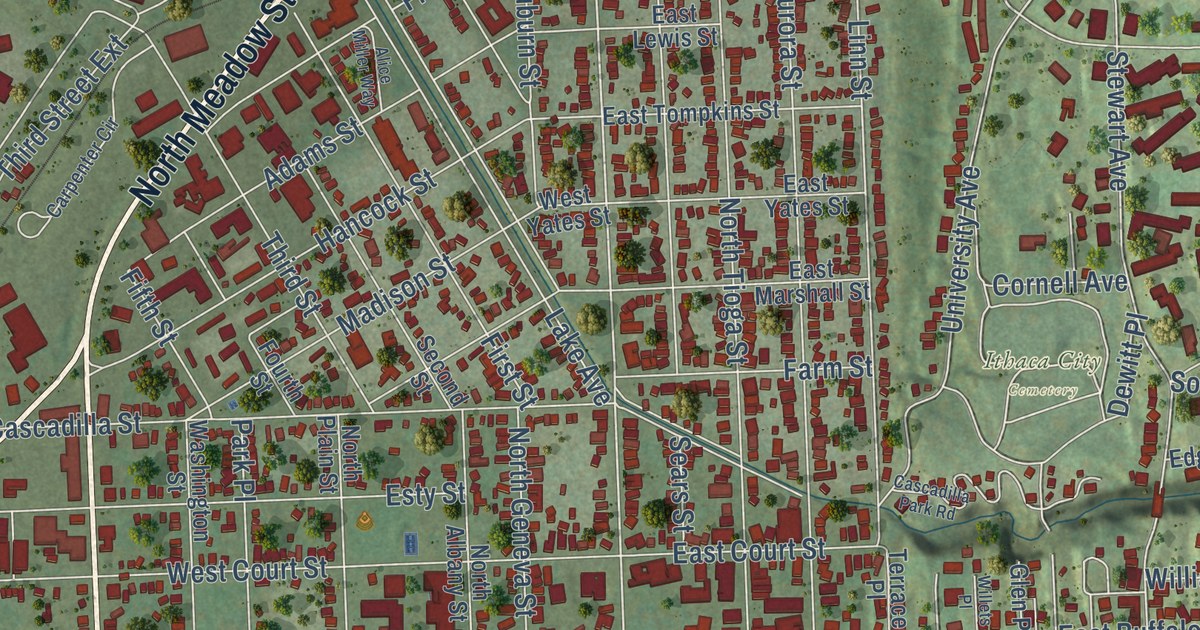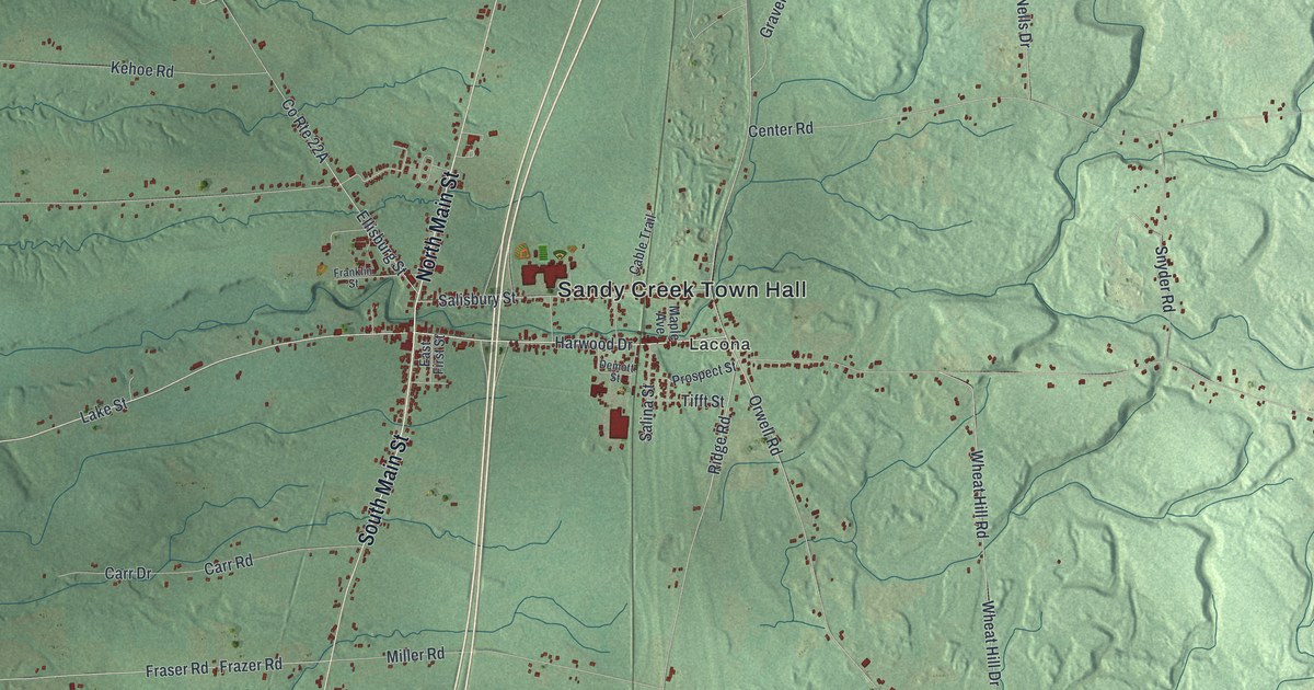
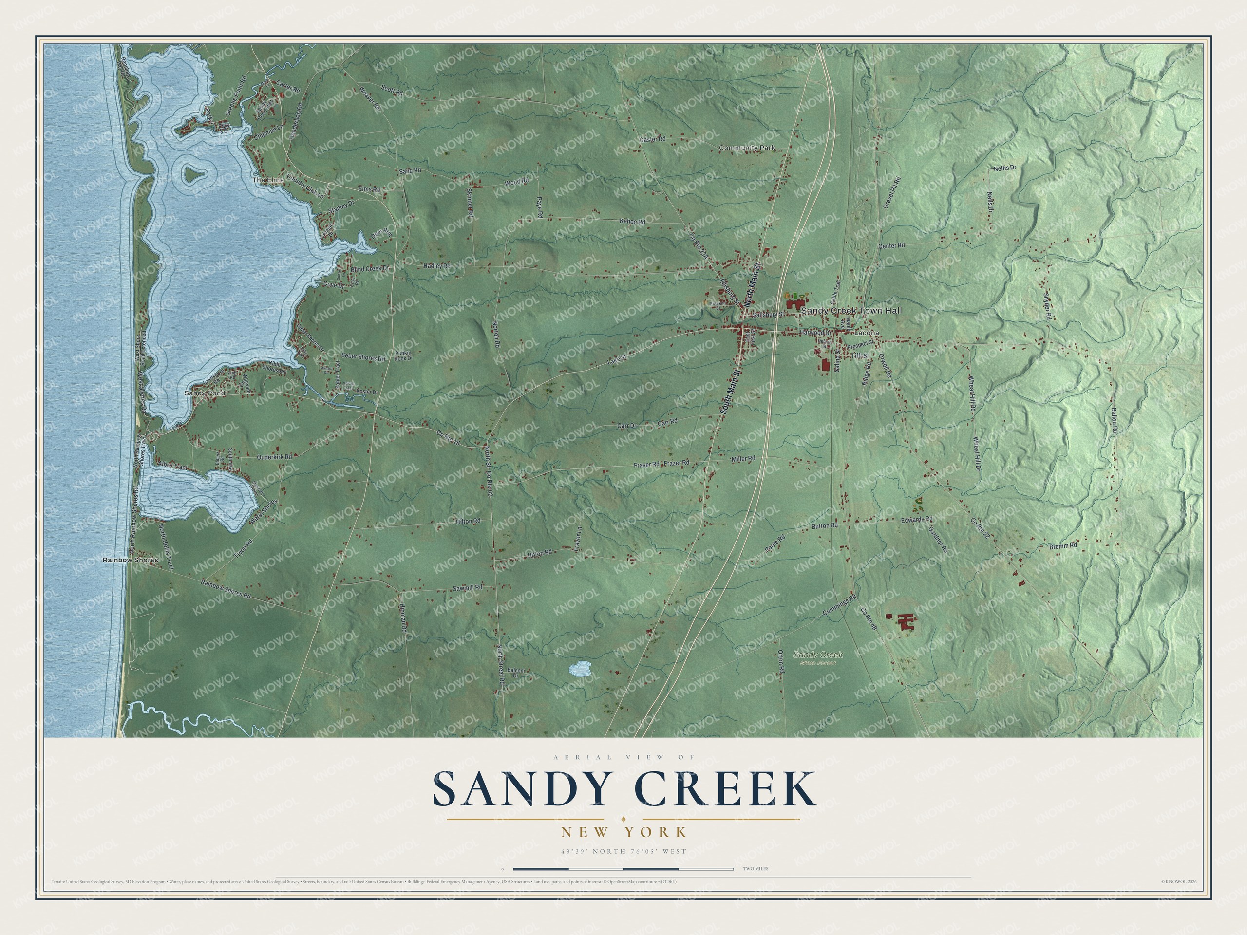
This beautifully detailed map of Sandy Creek, New York was created in 2026 using aerial imagery combined with modern topographical, census, street and landmark data. It’s a one-of-a-kind view of Sandy Creek that combines accurate data with a vintage aesthetic. The map shows every building in its true location, many of the roads carry their names, and the shaded topographic relief shows the shape of the land.
Explore an aerial view of Sandy Creek, New York
On the map you’ll find Sandy Creek Town Hall, Sandy Pond, The Elms, Community Park, Lacona, and Rainbow Shores, along with Main Street, Rainbow Shores Road, Harwood Drive, North Street, and more. If you look closely you can even find your house accurately drawn in its correct location. Zoom in on the preview to look for yours.
Did You Know?
Thomas Meacham of Sandy Creek wanted to give President Andrew Jackson a record gift in 1835. He made a cheese four feet wide that weighed close to 1,400 pounds. It stayed at the White House into 1836. On February 22 of that year, Jackson opened the doors so the public could eat it.
Take a closer look at the Sandy Creek map
Names on this map
These names are printed on this map.
Places: Sandy Creek Town Hall, Sandy Pond, The Elms, Community Park, Lacona, Sandy Creek State Forest and Rainbow Shores.
Streets and roads: South Main Street, North Main Street, County Route 15, North Rainbow Shores Road, Harwood Drive, County Route 22, County Route 48, County Route 62, North Street, Henderson Road, Albro Tract, Hadley Road.
More street names, A to Z
Balcom Drive, Ballou Road, Blind Creek Drive, Bremm Road, Button Road, Cable Trail, Carr Drive, Carr Road, Carter Road, Caster Road, Center Road, Chipman Lane, Country Club Lane, Cove Drive, Cove Road, Cummings Road, Deer Run, Demott Street, East First Street, Ebbert Road, Edwards Road, Ellisburg Street, Elms Road, Franklin Street, Fraser Road, Fravor Lane, Frazer Road, Gardner Road, Gravel Pit Road, Greene Point Road, Groman Drive, Hilton Road, Hinman Road, Kehoe Road, Kiblin Shores Road, Kilts Tract, King Road, Koster Drive, Lakeshore Road, Lake Street, Maple Avenue, Maxwell Shores, Miller Road, Mona Lane, Nellis Drive, Nells Drive, North Hollis Tract, North Rainbow Shores Tract, North Street Road, Norton Road, Orton Road, Orwell Road, Ouderkirk Road, Park 3 Drive, Park 4, Paye Road, Poole Road, Prospect Street, Punkin Hook Drive, Rainbow Shores Road, Renshaw Bay Road, Ridge Road, Salina Street, Salisbury Street, Sand Road, Sandy Pond Inlet, Sawmill Road, Scott Road, Seber Shores Drive, Seber Shores Road, Skinner Road, Snyder Road, South Avenue, Stanley Drive, Sunset Circle, Sunset Lane, Tifft Street, Tryon Road, Upton Road, Volcko Tract, Waful Shores, Weaver Road, West Shore Road Extended, West Shores Road, Wheat Hill Drive, Wheat Hill Road, Wigwam Drive, Wood Road, Zahler Tract.
See it on a wall
The Sandy Creek map as a framed print. Swipe for more.


This beautifully detailed map of Sandy Creek makes an attractive addition to your office, library, or den, and it can even be used to teach children the geography and history of the area. It also makes a great gift for anyone who grew up in Sandy Creek or moved away. When you’re done exploring, click here to get your copy of the Sandy Creek map.