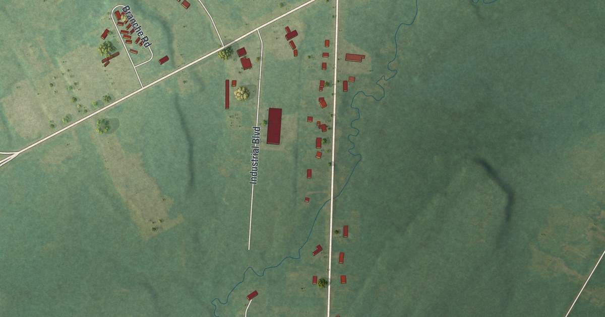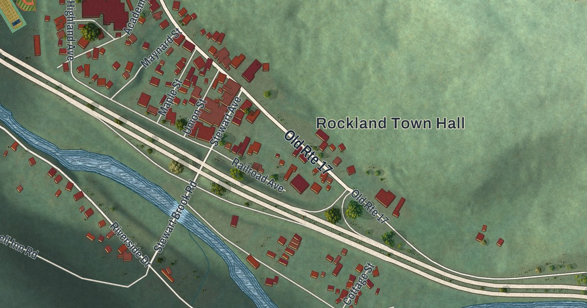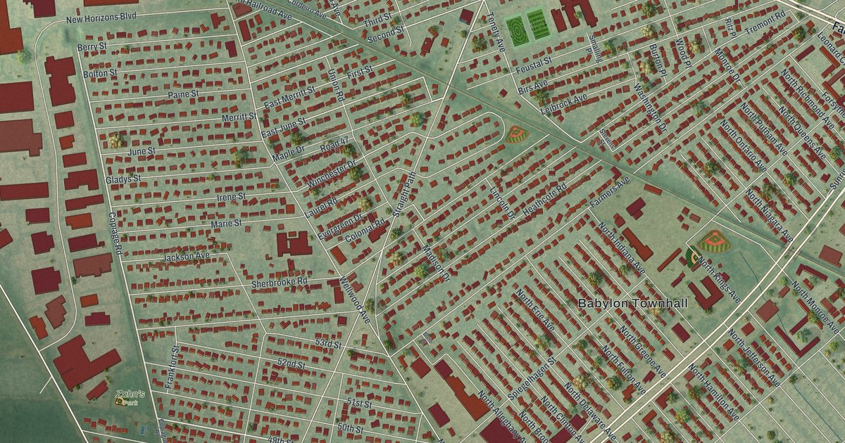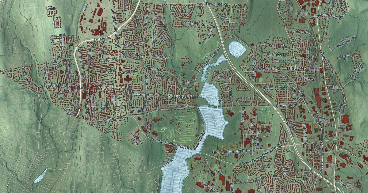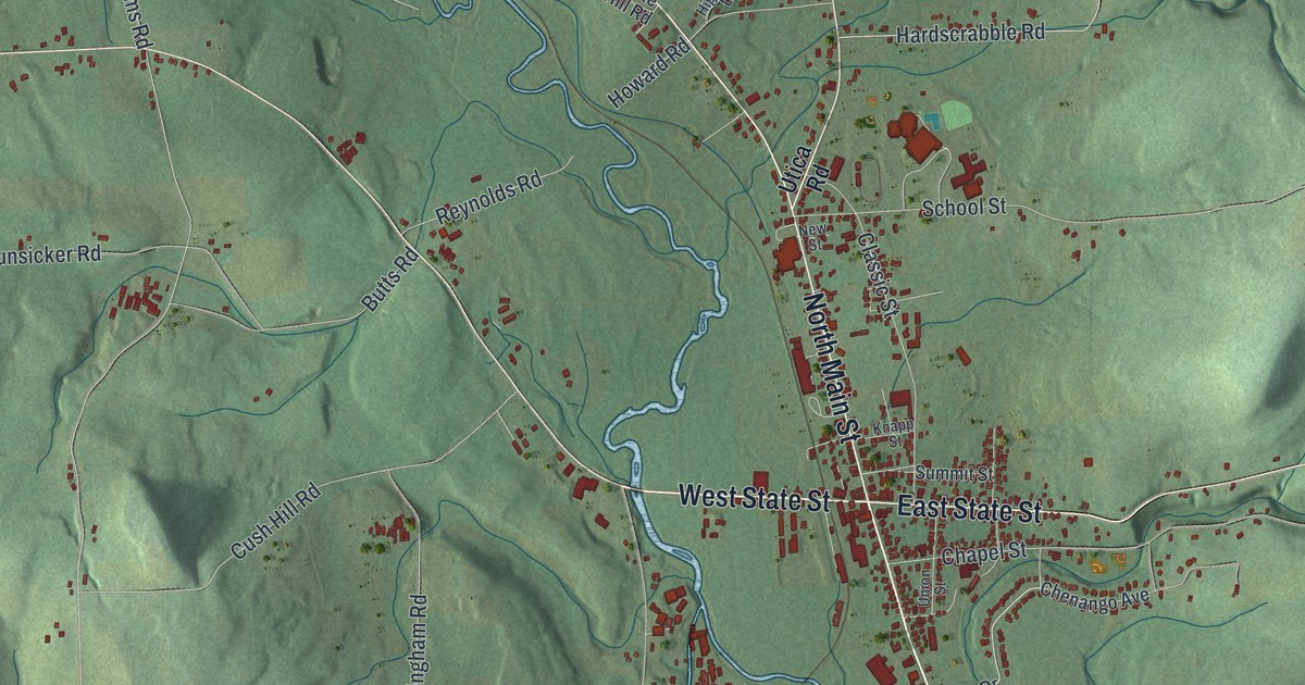
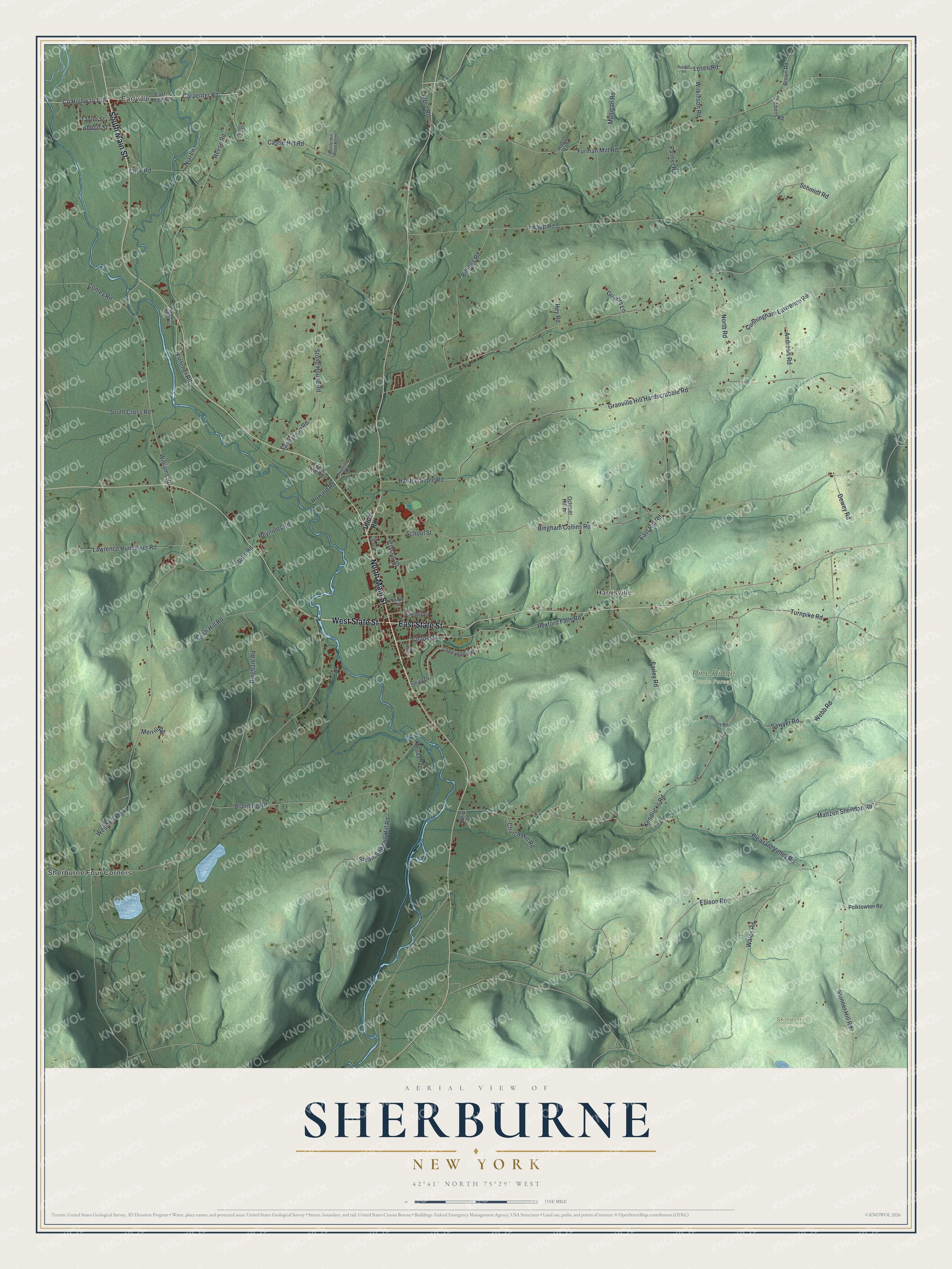
This beautifully detailed map of Sherburne, New York was created in 2026 using aerial imagery combined with modern topographical, census, street and landmark data. It’s a one-of-a-kind view of Sherburne that combines accurate data with a vintage aesthetic. The map shows every building in its true location, many of the roads carry their names, and the shaded topographic relief shows the shape of the land.
Explore an aerial view of Sherburne, New York
On the map you’ll find Harrisville, Earlville, Sherburne Four Corners, Pine Ridge State Forest, and Skinner Hill State Forest, along with Main Street, State Street, Utica Road, Carpenter Road, Albro Road, and more. If you look closely you can even find your house accurately drawn in its correct location. Zoom in on the preview to look for yours.
Did You Know?
Sherburne took its name from a song. Daniel Read wrote a tune called Sherburne in 1783. The first settlers loved it and sang it often, so the town carried its name. Most of those pioneers had come from Kent, Connecticut.
Take a closer look at the Sherburne map
Names on this map
These names are printed on this map.
Places: Harrisville, Pine Ridge State Forest, Skinner Hill State Forest, Earlville and Sherburne Four Corners.
Streets and roads: South Main Street, West State Street, North Main Street, East State Street, Carpenter Road, Albro Road, Reese Road, West Hill Road, Bingham Collins Road, Losee Road, Granville Hill Hardscrabble Road, Pleasant Valley Road.
More street names, A to Z
Abbott Street, Andrews Road, Baldwin Station Road, Billings Road, Bingham Road, Blanding Road, Brown Road, Butts Road, Castle Hill Road, Castle Hill Road North, Chapel Street, Chenango Avenue, Church Hill Road, Classic Street, Conley Road, Coye Road, Cunningham Lawrence Road, Cush Hill Road, Dewey Road, East Hill Road, East Main Street, Ellison Road, Farley Road, Fletcher Road, Foote Hill Road, Furman Mill Road, Gowers Lane, Hardscrabble Road, Hey Road, Highland Lane, Howard Road, Howe Lane, Indigo Lane, Kendricks Road, Knapp Road, Knapp Street, Lawrence Hunsicker Road, Maltzen Sheridan Road, McDaniels Road, Merrill Road, Morey Road, Mulligan Road, New Street, Nial Lane, North Road, October Hill Lane, Palmer Road, Polktowton Road, Reid Lane, Rexford Falls Road, Reynolds Road, Rundell Road, Sanitarium Road, Sawyer Road, Schmidt Road, School Street, Skinner Hill Road, Smith Drive, South Cross Road, Steam Sawmill Hill Road, Stone House Road, Summit Street, Taylor Street, Tibbens Road, Turnpike Road, Union Street, Utica Road, Wales Road, Webb Road, Wilkinson Road, Williams Road.
See it on a wall
The Sherburne map as a framed print. Swipe for more.


This beautifully detailed map of Sherburne makes an attractive addition to your office, library, or den, and it can even be used to teach children the geography and history of the area. It also makes a great gift for anyone who grew up in Sherburne or moved away. When you’re done exploring, click here to get your copy of the Sherburne map.