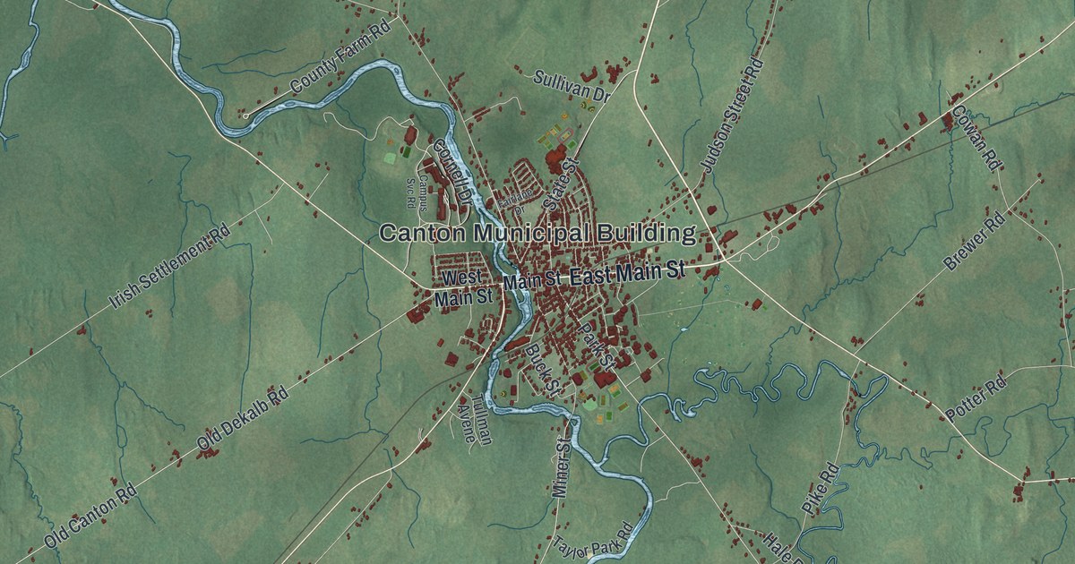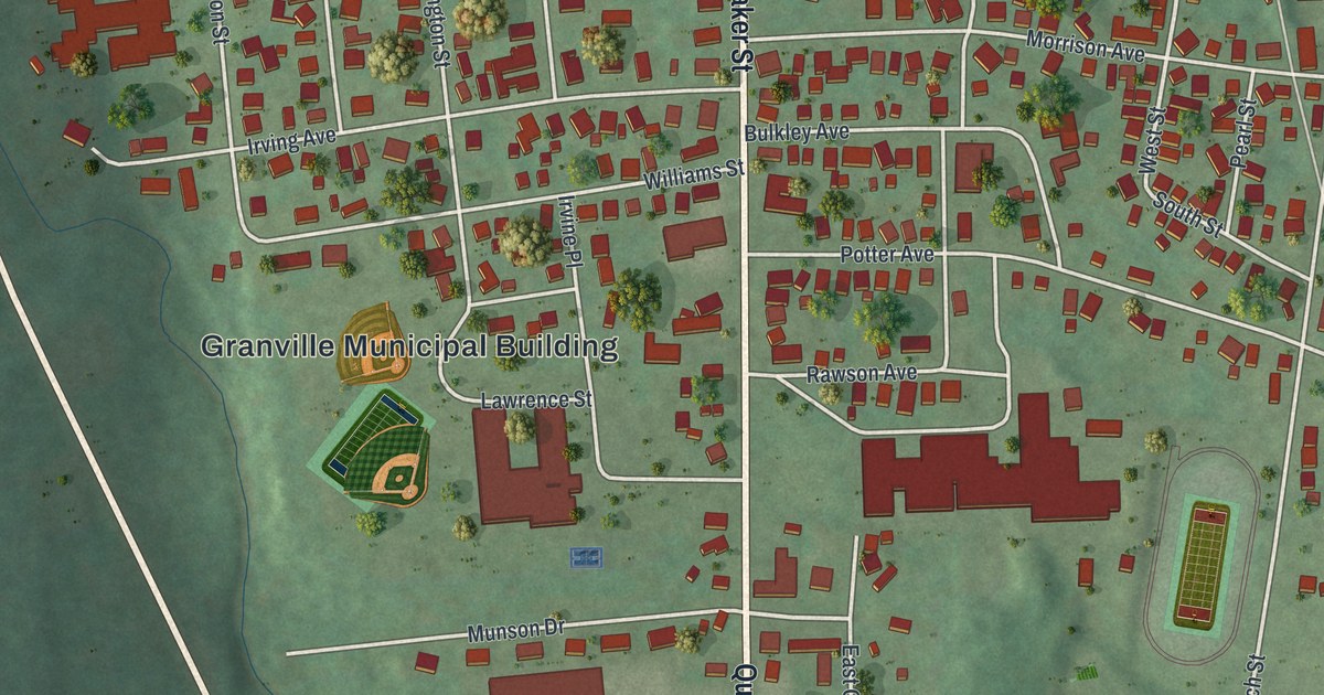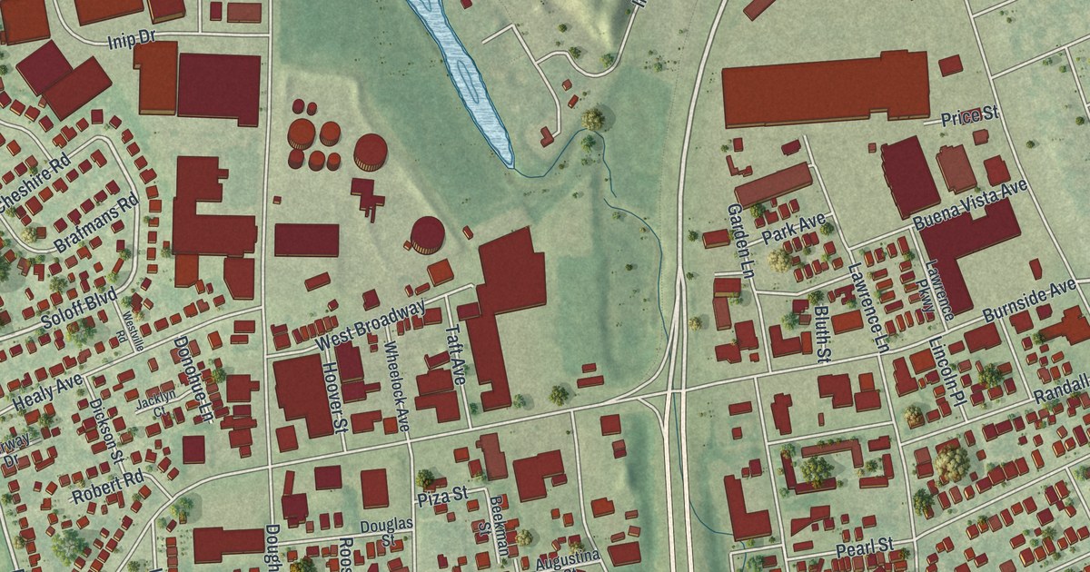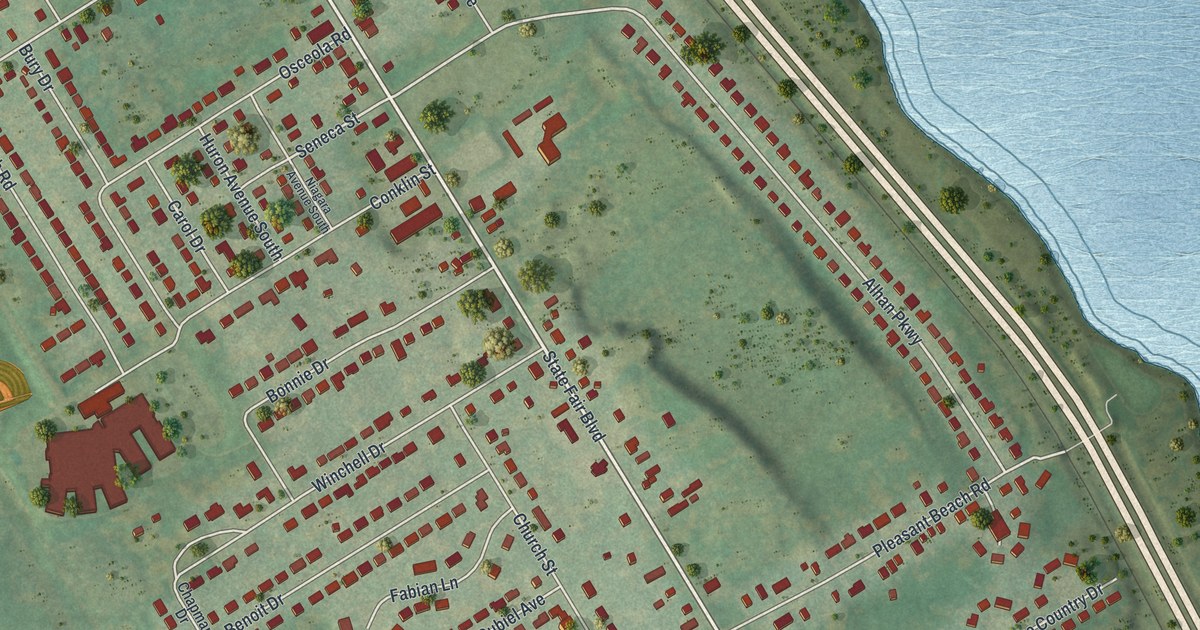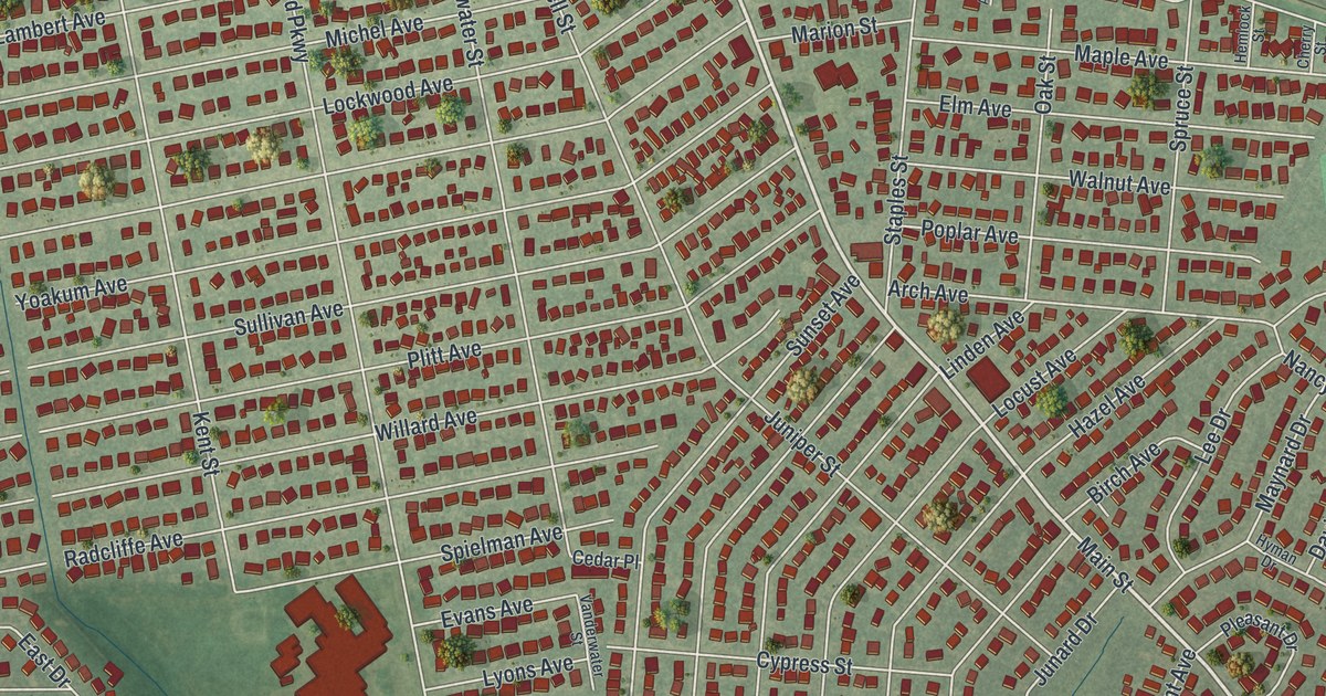
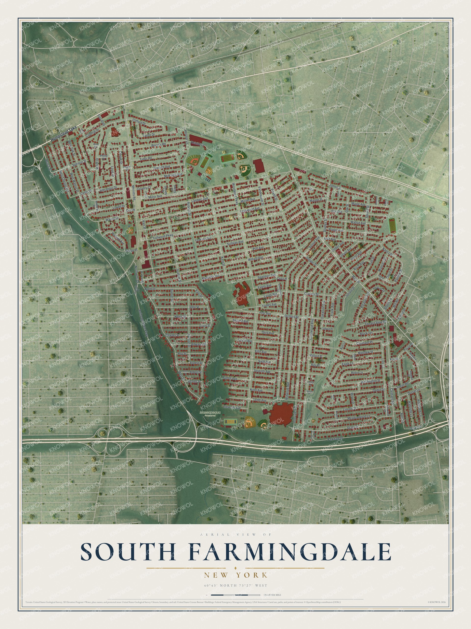
This beautifully detailed map of South Farmingdale, New York was created in 2026 using aerial imagery combined with modern topographical, census, street and landmark data. It’s a one-of-a-kind view of South Farmingdale that combines accurate data with a vintage aesthetic. The map shows every building in its true location, many of the roads carry their names, and the shaded topographic relief shows the shape of the land.
Explore an aerial view of South Farmingdale, New York
On the map you’ll find Massapequa Preserve, along with Hempstead Turnpike, Main Street, Nancy Drive, Mill Road, Beach Street, and more. If you look closely you can even find your house accurately drawn in its correct location. Zoom in on the preview to look for yours.
Did You Know?
In September 1961, a carved wooden figure turned up buried in a South Farmingdale backyard. Experts traced it to the Zulu or a related Nguni people of southeastern Africa. Radiocarbon tests dated it to about 1630. That makes it among the oldest African wood carvings known. It is called the Farmingdale Statue.
Take a closer look at the South Farmingdale map
Names on this map
These names are printed on this map.
Places: Massapequa Preserve.
Streets and roads: Hempstead Turnpike, Main Street, Nancy Drive, Mill Road, Beach Street, Pauline Drive, First Avenue, Bethpage State Parkway, Woodward Parkway, Intervale Avenue, Crestwood Boulevard, Plitt Avenue.
More street names, A to Z
Abbott Street, Abott Street, Acorn Court, Adams Street, Alan Court, Albers Lane, Alexander Drive, Anthony Drive, Arch Avenue, Barbara Drive, Beverly Road, Birch Avenue, Block Terrace, Carmans Road, Cedar Place, Cedar Street, Charles Street, Cherry Street, Cinque Drive, Clifford Drive, Colonial Drive, Copeland Place, Cort Place, Country Court, Cypress Street, Damin Drive, Daniel Drive, David Drive, Diana Drive, Dorothy Court, Dorset Lane, Dover Lane, Eagle Lane, East Drive, East Gate, Edwards Street, Eighth Avenue, Eleventh Avenue, Elm Avenue, Ernest Street, Evans Avenue, Eve Drive, Fallwood Parkway, Fifth Avenue, Fourth Avenue, Frank Avenue, Garfield Avenue, Graham Street, Grant Street, Hart Street, Hazel Avenue, Heisser Court, Heisser Lane, Hemlock Street, Henry Street, Hitchcock Lane, Hyman Drive, James Street, John Street, Junard Drive, Juniper Street, Kent Lane, Kent Street, Lambert Avenue, Laurie Drive, Lee Drive, Leroy Place, Lincoln Street, Linden Avenue, Lisa Court, Lockwood Avenue, Locust Avenue, Lois Lane, Louis Drive, Louis Street, Lowell Drive, Ludwig Place, Lyons Avenue, Maple Avenue, Marion Street, Matthew Street, Maynard Drive, McKinley Avenue, Meadow Court, Meadowwood Lane, Melody Drive, Merritts Road, Michel Avenue, Midwood Avenue, Milford Place, Motor Avenue, Narwood Court, Ninth Avenue, North Drive, Northwest Drive, Oak Street, Oakwood Avenue, Orchard Street, Parkdale Drive, Parkdale Drive West, Paula Drive, Phillip Drive, Pleasant Avenue, Pleasant Drive, Poplar Avenue, Powell Street, Radcliffe Avenue, Radcliffe Lane, Reese Place, Rita Place, Roberts Street, Robin Lane, Rose Court, Roy Street, Ruth Lane, Saxon Road, Scholl Drive, Second Avenue, Seventh Avenue, Shirley Court, Sixth Avenue, Spencer Street, Spielman Avenue, Spooner Place, Spruce Street, Staples Street, Stephen Drive, Sullivan Avenue, Sunrise Drive, Sunset Avenue, Sunset Drive, Sylvan Place, Taylor Drive, Tenth Avenue, Terrace View Road, Third Avenue, Tomes Avenue, Triangle Place, Tudor Road, Vanderwater Street, Vandewater Street, Vin Court, Walland Avenue, Walnut Avenue, Walnut Street, Washington Street, West Chestnut Street, West Drive, West Gate, West Oak Street, West Walnut Street, Willard Avenue, Yoakum Avenue.
See it on a wall
The South Farmingdale map as a framed print. Swipe for more.


This beautifully detailed map of South Farmingdale makes an attractive addition to your office, library, or den, and it can even be used to teach children the geography and history of the area. It also makes a great gift for someone who left South Farmingdale and still calls it home. When you’re done exploring, click here to get your copy of the South Farmingdale map.