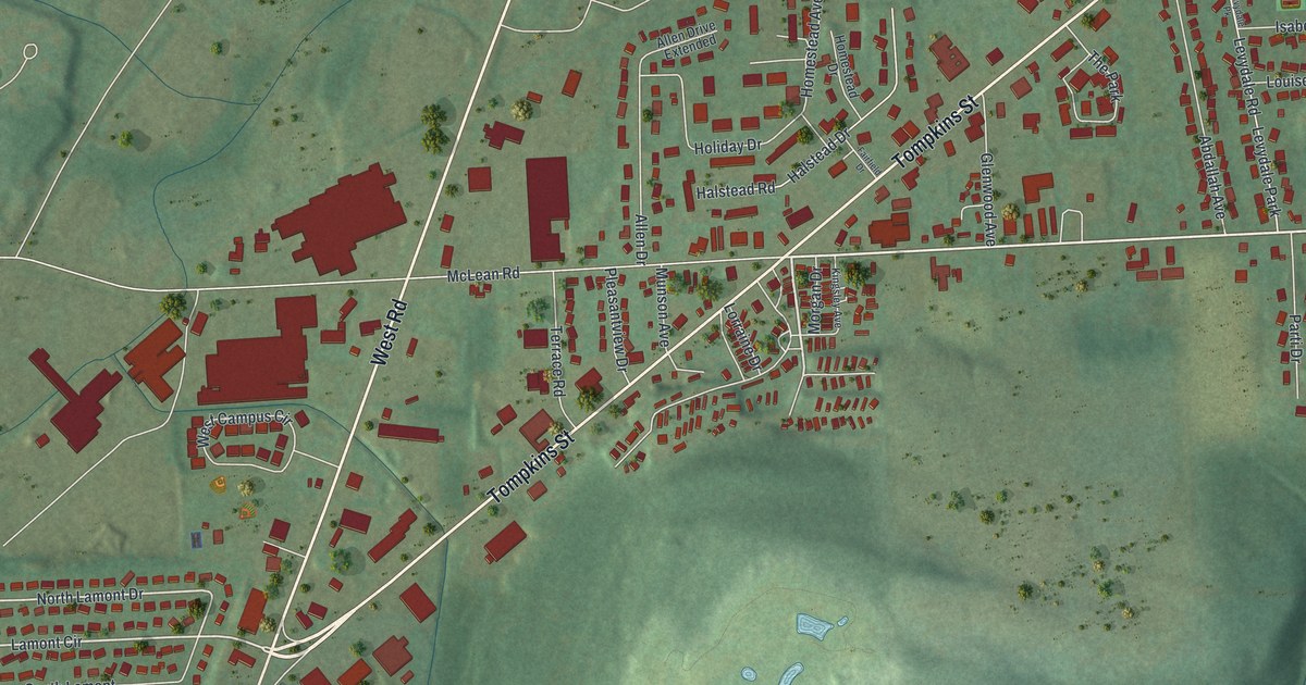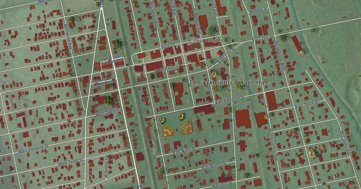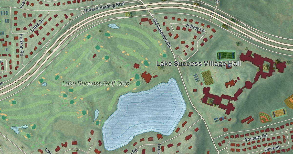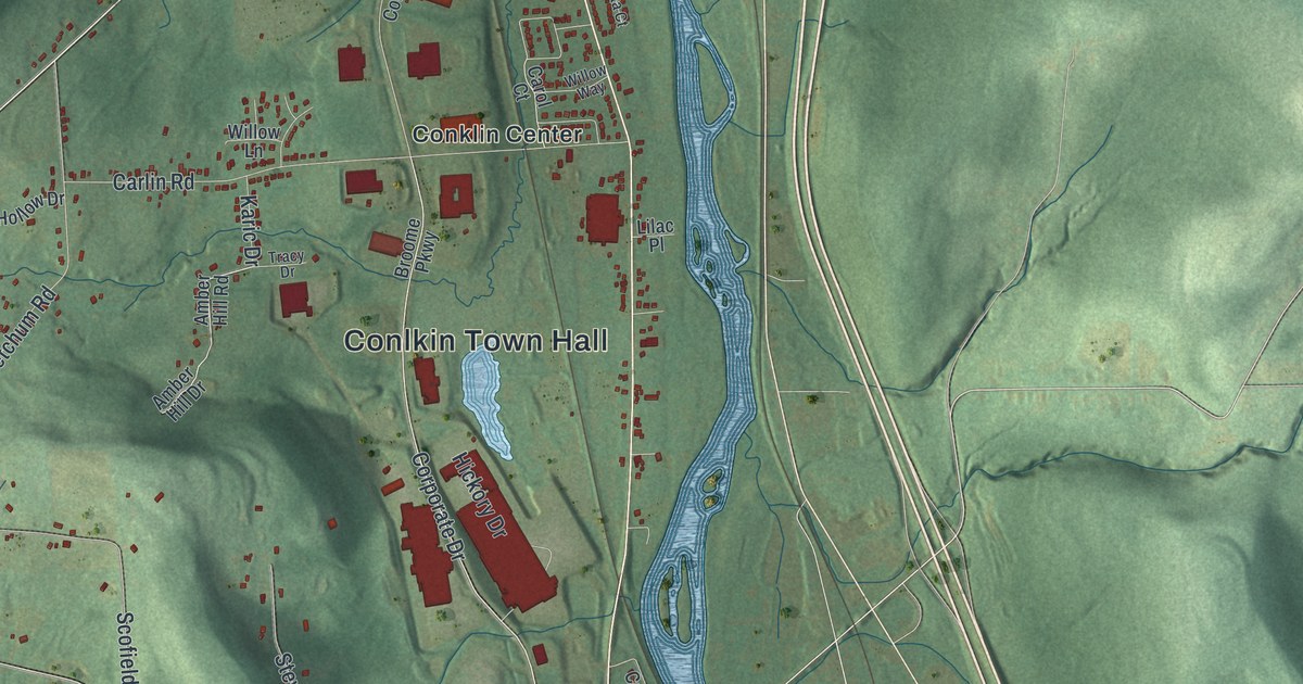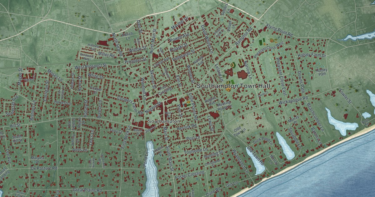
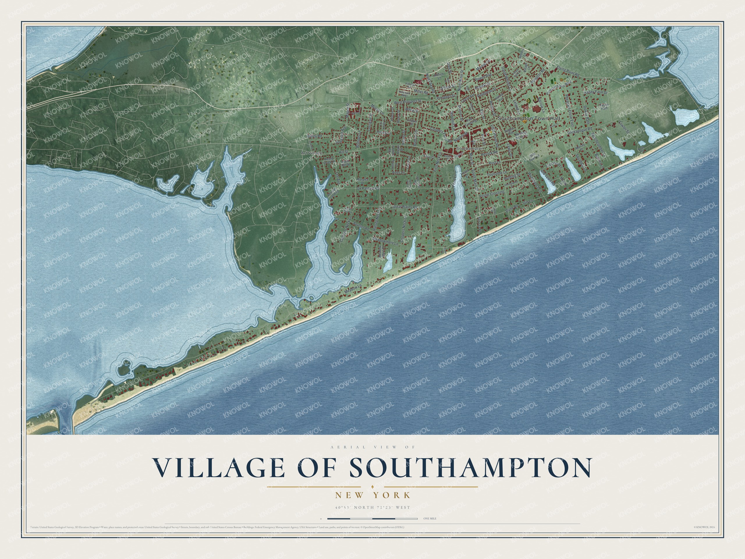
This beautifully detailed map of the Village of Southampton, New York was created in 2026 using aerial imagery combined with modern topographical, census, street and landmark data. It’s a one-of-a-kind view of the Village of Southampton that combines accurate data with a vintage aesthetic. The map shows every building in its true location, many of the roads carry their names, and the shaded topographic relief shows the shape of the land.
Explore an aerial view of the Village of Southampton, New York
On the map you’ll find Southampton Town Hall and Art Village, along with Hampton Road, Main Street, Flying Point Road, Skinner Street, and more. If you look closely you can even find your house accurately drawn in its correct location. Zoom in on the preview to look for yours.
Did You Know?
A small band of English settlers sailed from Lynn, Massachusetts, and landed at Conscience Point on June 12, 1640. Southampton is the oldest English settlement in New York. It took its name from the English Earl of Southampton. The Shinnecock people gave the newcomers land and taught them to plant corn.
Take a closer look at the Village of Southampton map
Names on this map
These names are printed on this map.
Places: Southampton Town Hall, Art Village and Southampton.
Streets and roads: Hampton Road, South Main Street, Flying Point Road, Main Street, Skinner Street, Nugent Street, Wickapogue Road, Ox Pasture Road, Captains Neck Lane, Pond Lane, Meadow Lane, Gin Lane.
More street names, A to Z
Aldrich Lane, Anns Lane, Bailey Road, Barons Lane, Beachcomber Lane, Bishops Lane, Boyesen Road, Breese Lane, Christopher Street, Cooper Neck Road, Coopers Farm Road, Coopers Neck Lane, Cooper Street, Corrigan Street, Cryder Lane, Culver Street, Dale Street, Davids Court, David Whites Lane, Down East Lane, Downs Path, Duck Pond Lane, Dune Road, Elm Street, Fair Lea Road, Fairlea Road, First Neck Lane, Foster Crossing, Fowler Street, Fox Hollow Lane, Great Plains Road, Halsey Avenue, Halsey Farm Drive, Halsey Neck Lane, Halsey Path, Halsey Street, Harvest Lane, Heady Creek Lane, Henry Street, Herrick Road, High Pond Lane, Hildreth Street, Hillcrest Avenue, Hill Street, Hunting Street, Jobs Lane, Johnny Lane, Layton Avenue, Lee Avenue, Leland Lane, Leo's Lane, Lewis Street, Linden Lane, Little Plains Road, Magee Street, Maple Street, Mariner Drive, Marylea Drive, Meadowmere Lane, Meadow Mere Place, Meeting House Lane, Miller Road, Moses Lane, Murray Lane, Murray Place, Narrow Lane, North Main Street, North Road, North Sea Road, Olde Town Lane, Old Field Lane, Old Towne Way, Old Town Road, Pelham Street, Pelletreau Street, Pennies Landing, Pheasant Close East, Pheasant Close West, Pine Street, Post Crossing, Post Lane, Potato Field Lane, Powell Avenue, Prospect Street, Pulaski Street, Rogers Avenue, Rosko Drive, Settlers Lane, Somerset Avenue, South Hill Street, Squabble Lane, Terry Court, Toylsome Lane, Tuckahoe Lane, Village Lane, Wall Street, West Prospect Street, White Street, Willis Street, Willow Street, Windmill Lane, Windward Way, Wooley Street, Wyandanch Lane.
See it on a wall
The Southampton map as a framed print. Swipe for more.


This beautifully detailed map of the Village of Southampton makes an attractive addition to your office, library, or den, and it can even be used to teach children the geography and history of the area. It also makes a great gift for someone who left the Village of Southampton and still calls it home. When you’re done exploring, click here to get your copy of the Village of Southampton map.