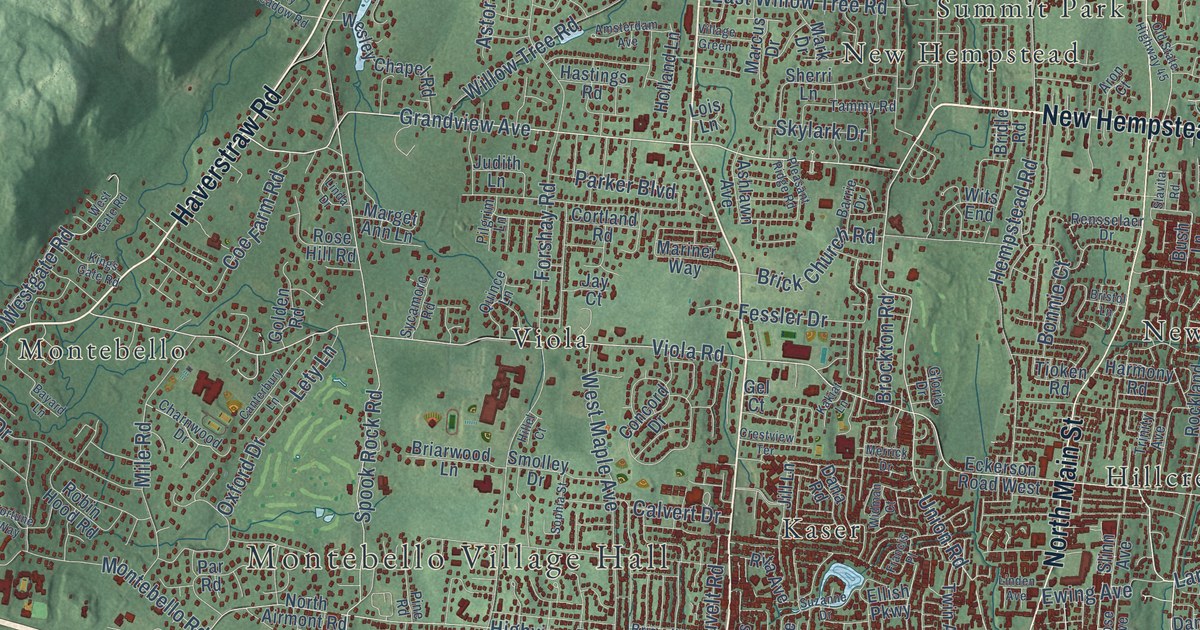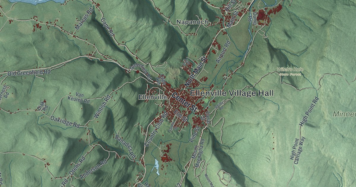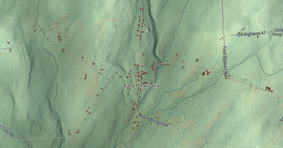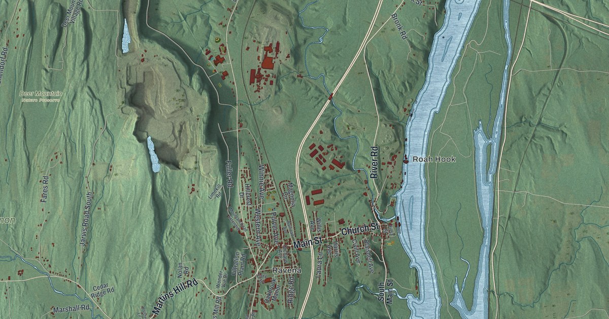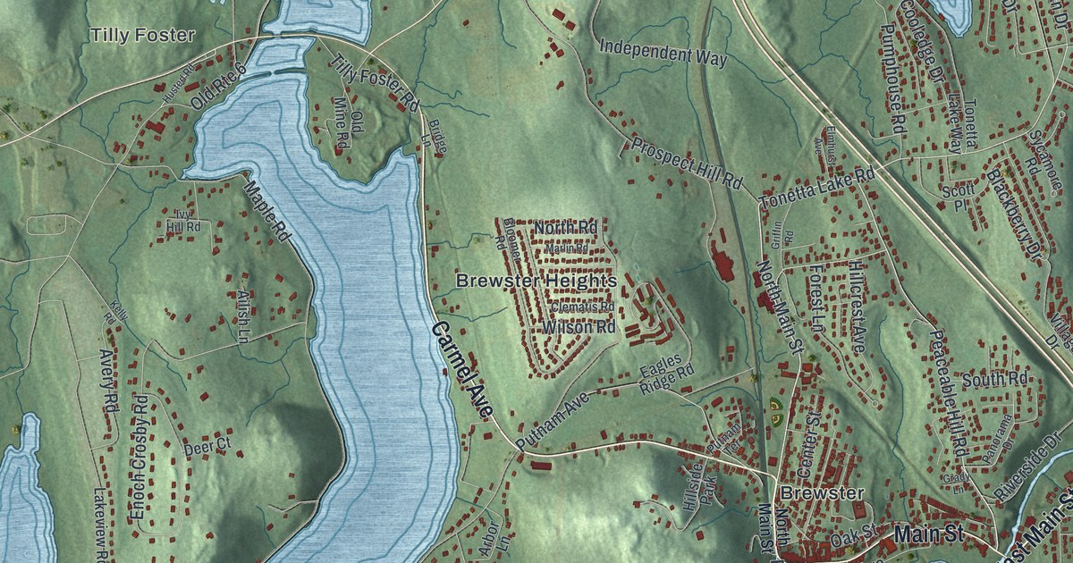
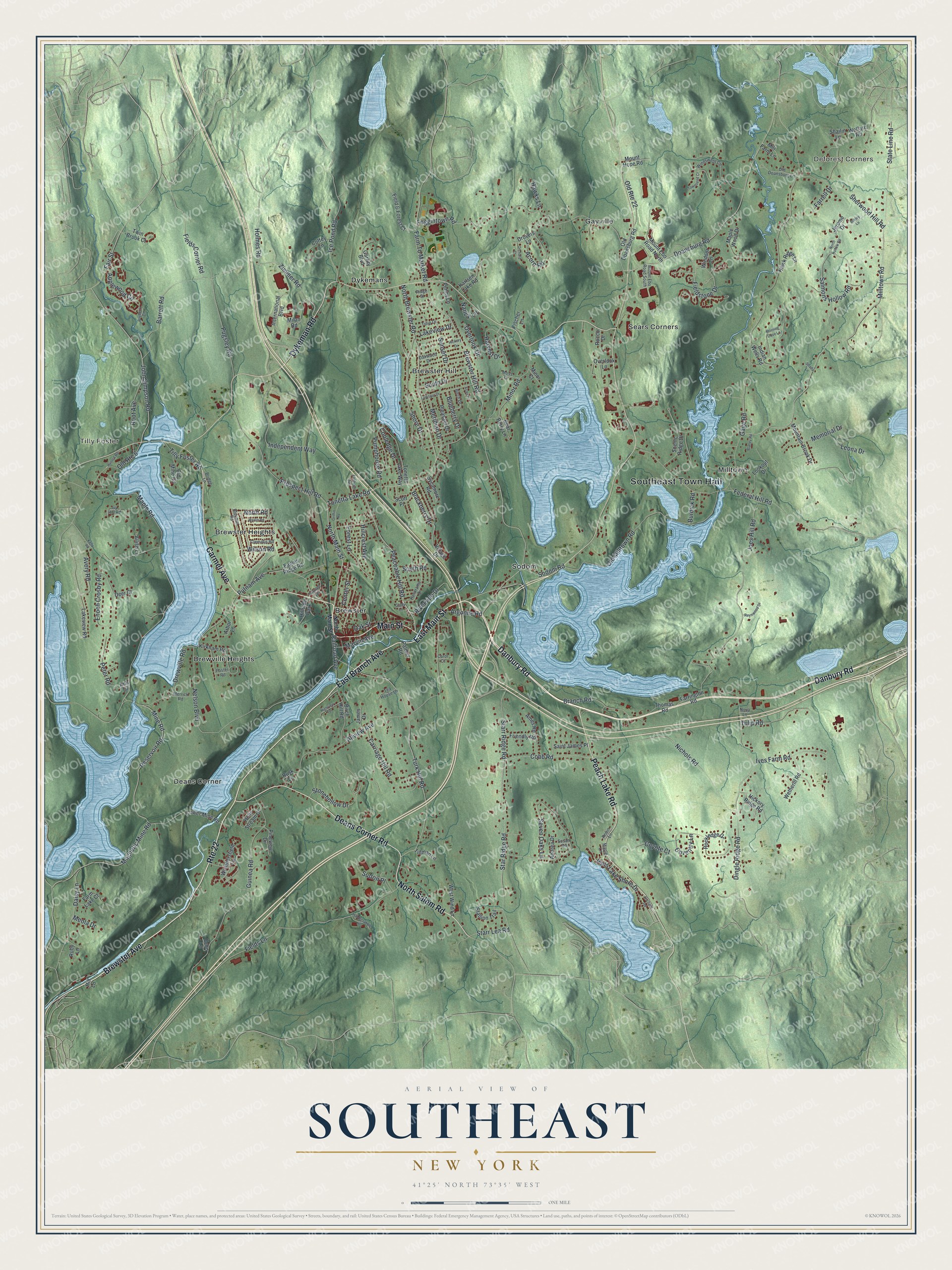
This beautifully detailed map of Southeast, New York was created in 2026 using aerial imagery combined with modern topographical, census, street and landmark data. It’s a one-of-a-kind view of Southeast that combines accurate data with a vintage aesthetic. The map shows every building in its true location, many of the roads carry their names, and the shaded topographic relief shows the shape of the land.
Explore an aerial view of Southeast, New York
On the map you’ll find Southeast Town Hall, Deforest Corners, Tilly Foster, Brewster, Brewster Heights, and Brewster Hill, along with Brewster Avenue, Carmel Avenue, Main Street, Deans Corner Road, and more. If you look closely you can even find your house accurately drawn in its correct location. Zoom in on the preview to look for yours.
Did You Know?
Southeast takes its name from its place in the southeastern corner of its county. Its first settler arrived around 1730. The land lay in the Oblong, a strip claimed by both New York and Connecticut. Both sides sold deeds that clashed. The 1731 Treaty of Dover settled the line in New York’s favor.
Take a closer look at the Southeast map
Names on this map
These names are printed on this map.
Places: Southeast Town Hall, Deforest Corners, Tilly Foster, Brewster, Brewster Heights, Brewster Hill, Deans Corner, Drewville Heights, Dykemans, Gayville, Milltown, Sears Corners, Sodom and Hillside Park.
Streets and roads: Brewster Avenue, Carmel Avenue, Main Street, Deans Corner Road, Dykeman Road, East Branch Avenue, Danbury Road, Peach Lake Road, North Salem Road, East Main Street, Route 22, Tonetta Lake Road.
More street names, A to Z
Acorn Road, Ailish Lane, Allview Avenue, Ames Road, Andrea Drive, Ann Drive, Applewood Circle, Arbor Lane, Argonne Road, Aster Place, Avery Road, Barrett Road, Bayberry Court, Bear Berry Lane, Birch Drive, Birch Hill Road, Blackberry Drive, Blaney Road, Bloomer Road, Blueberry Drive, Branch Road, Brewster Hill Road, Bridey Lane, Bridge Lane, Burdick Road, Carol Court, Carriage Hill Road, Center Street, Clematis Road, Cobb Road, Coffey Lane, Cooledge Drive, Coventry Lane, Coyote Court, Daisy Lane, Deer Court, Dingle Ridge Road, Doansburg Road, Drewville Road, Drovers Lane, Eagles Ridge Road, Echo Lane, Elmhurst Avenue, Enoch Crosby Road, Fair Street, Farm Lake Court, Farm To Market Road, Farrell Drive, Farrington Road, Federal Hill Road, Field & Forest Court, Fields Corner Road, Fields Lane, Fieldstone Drive, Fischer Lane, Foggintown Road, Forest Lane, Foster Road, Friendly Road, Gage Road, Garrity Boulevard, Grady Lane, Griffin Road, Guinea Road, Hardscrabble Heights, Harvest Drive, Hawk Ridge Lane, Hawks Lane, Hickory Drive, Hickory Ridge Road, Highview Terrace, Hillcrest Avenue, Hill Lane, Holly Stream Court, Holmes Road, Husted Road, Ice Pond Road, Independent Way, Indian Wells Road, International Boulevard, Ives Farm Road, Ivy Hill Road, James Drive, Jerome Drive, Joes Hill Road, John Simpson Road, Karlsen Lake Road, Kelly Road, Kirkham Road, Lakeview Drive, Lakeview Road, Larkspur Drive, Leona Drive, Lookout Drive, Lower Mine Road, Magnetic Mine Road, Maple Lane, Maple Road, Maple Wood Drive, Marlin Road, Marvin Avenue, Memorial Drive, Meola Drive, Meridian Drive, Merrick Road, Milan Road, Mill Farm Lane, Milltown Road, Mine Road, Minor Court, Minor Road, Morning Dove Lane, Moss Drive, Mountain Brook Drive, Mount Ebo Road North, Mount Ebo Road South, Mount Hope Road, Nancy Lane, Nelson Boulevard, Nichols Road, North Brewster Road, North Hollow Road, North Main Street, North Road, Nova Lane, Oak Street, Oakwood Drive, Old Doansburg Lane, Old Doansburg Road, Old Milltown Road, Old Mine Road, Old Route 6, Old Route 22, Orchard Court, Orchard Road, Overlook Drive, Overlook Lane, Palmer Road, Panorama Drive, Peaceable Hill Road, Penny Lane, Peter Road, Pineview Drive, Pleasant Drive, Prospect Hill Road, Pugsley Road, Pumphouse Road, Putnam Avenue, Putnam Terrace, Railroad Avenue, Reservoir Road, Reynwood Drive, Ridge Street, Riverside Drive, Robin Lane, Rocco Drive, Rockledge Drive, Root Avenue, Ruby Lane, Rusk Lane, Saint James Place, Salmons Hollow Road, Scenic Ridge Drive, Scott Place, Seven Oaks Lane, Shady Lane, Shailin Lane, Sherwood Hill Road, Shore Drive, Sodom Road, South Drive, South Road, Stallion Trail, Star Ridge Road, Starr Lea Road, Starr Ridge Road, State Line Road, Stonehollow Drive, Sunset Drive, Susan Road, Sutton Place, Sycamore Road, Tea House Lane, Thomas Road, Tillman Lane, Tilly Foster Road, Tonetta Lake Way, Townsend Court, Tulip Drive, Tulip Road, Turk Hill Road, Twin Brook Court, Vails Lake Shore Drive, Village Drive, Weathersfield Lane, Welfare Road, West Wind Lane, Wetherill Road, Wilson Road, Windsor Lane, Windswept Circle, Zimmer Road.
See it on a wall
The Southeast map as a framed print. Swipe for more.


This beautifully detailed map of Southeast makes an attractive addition to your office, library, or den, and it can even be used to teach children the geography and history of the area. It also makes a great gift for anyone who grew up in Southeast or moved away. When you’re done exploring, click here to get your copy of the Southeast map.