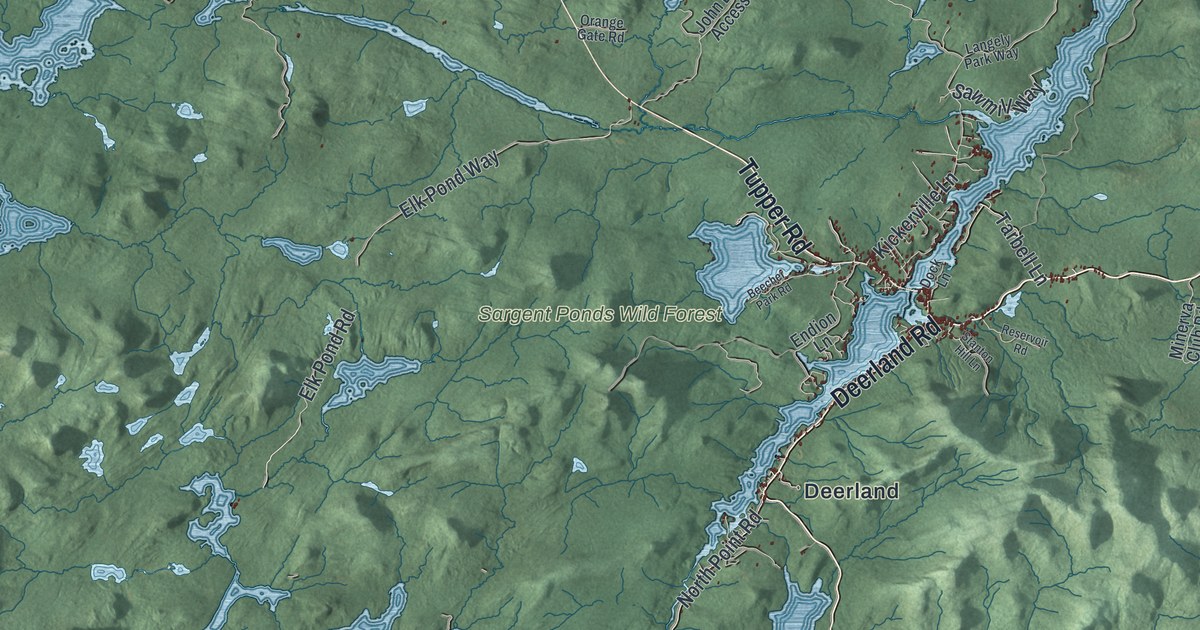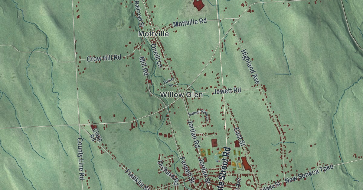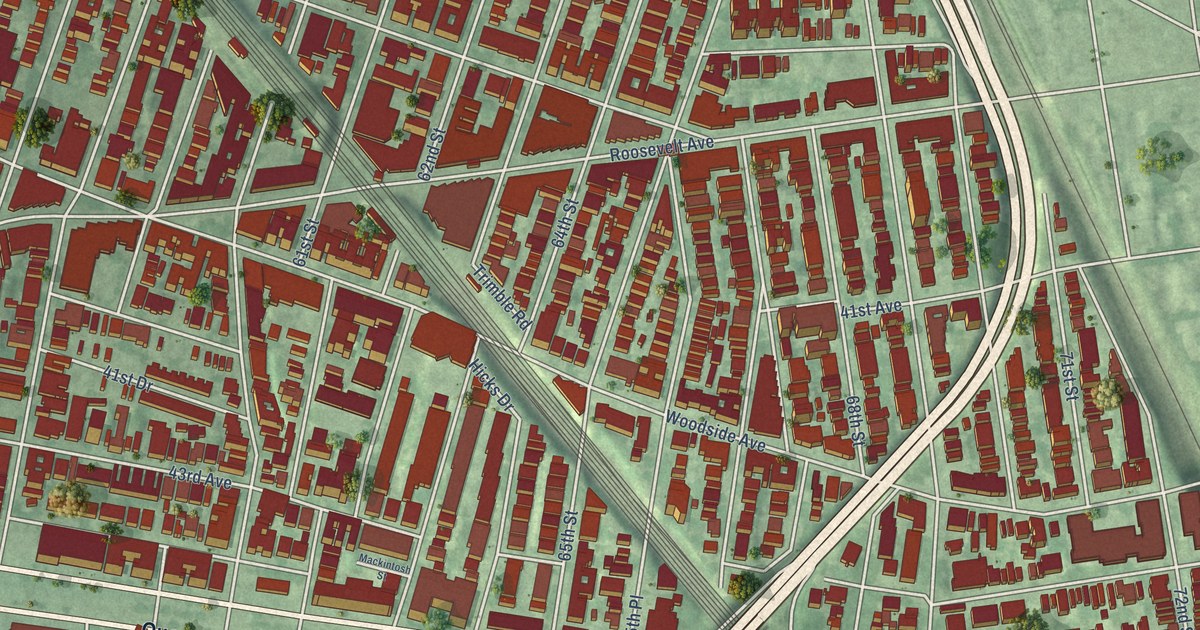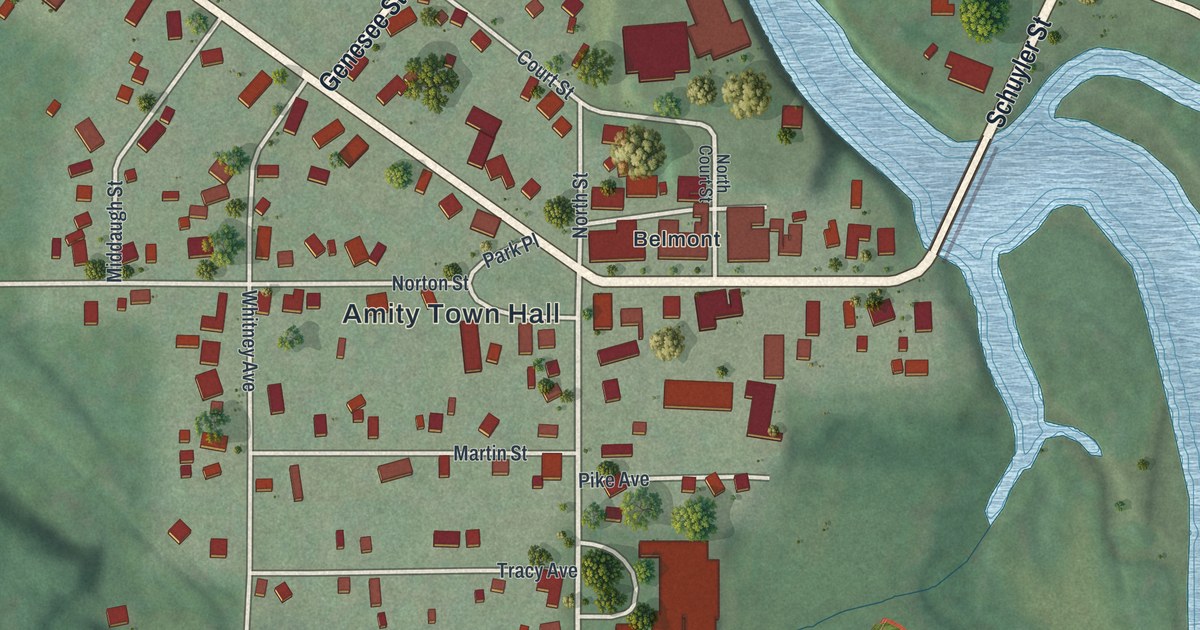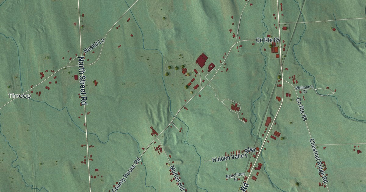
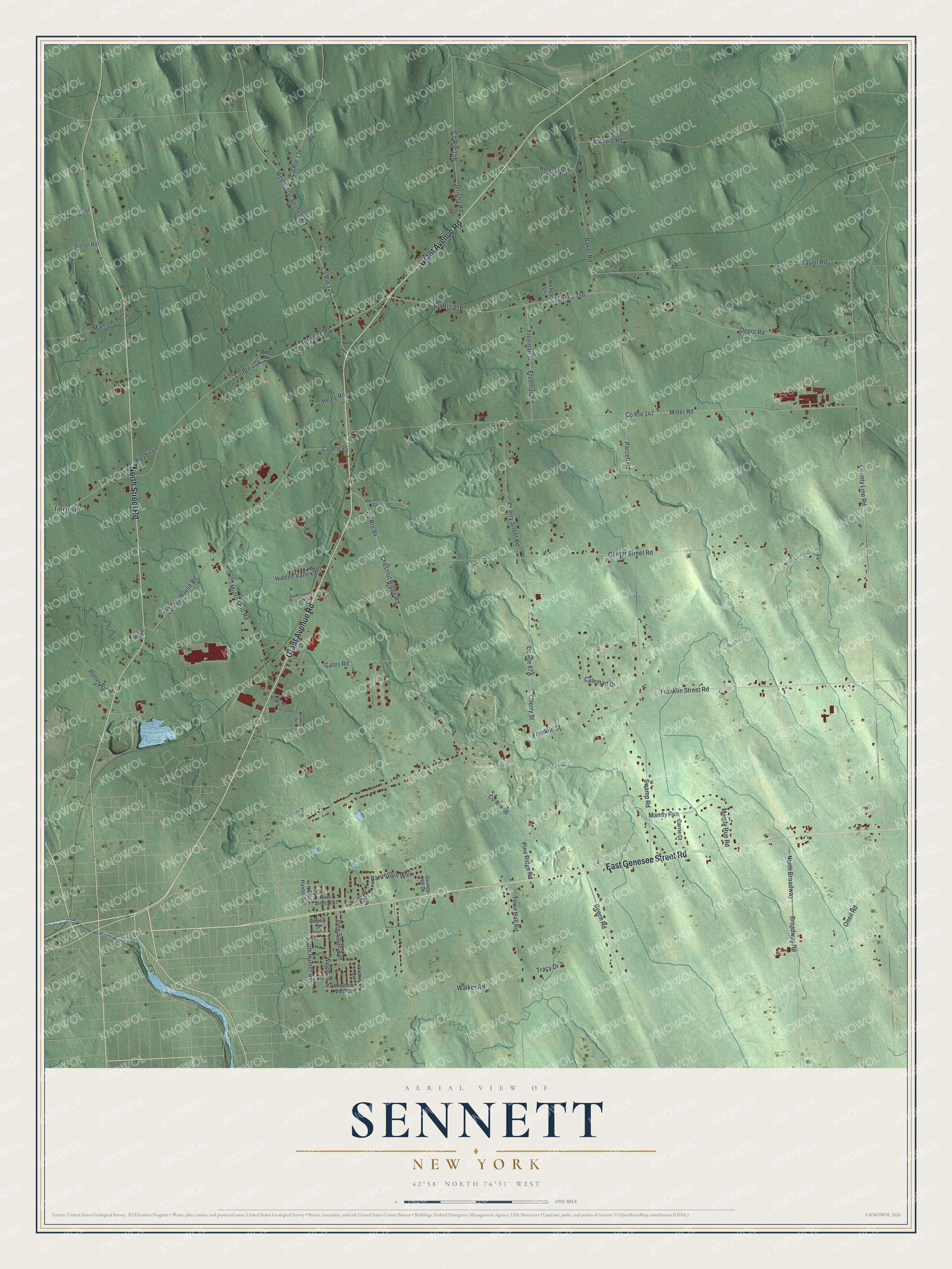
This beautifully detailed map of Sennett, New York was created in 2026 using aerial imagery combined with modern topographical, census, street and landmark data. It’s a one-of-a-kind view of Sennett that combines accurate data with a vintage aesthetic. The map shows every building in its true location, many of the roads carry their names, and the shaded topographic relief shows the shape of the land.
Explore an aerial view of Sennett, New York
On the map you’ll find Throop and Soule Cemetery, along with Genesee Street Road, Grant Avenue Road, Street Road, Franklin Street Road, Hunter Avenue, and more. If you look closely you can even find your house accurately drawn in its correct location. Zoom in on the preview to look for yours.
Did You Know?
Sennett takes its name from Daniel Sennett, a circuit judge and early settler. He arrived in 1795. The town sits on land of the Central New York Military Tract, which was set aside for war veterans. It was formed in 1827 from parts of Brutus and Aurelius.
Take a closer look at the Sennett map
Names on this map
These names are printed on this map.
Places: Soule Cemetery and Throop.
Streets and roads: East Genesee Street Road, Grant Avenue Road, North Street Road, Franklin Street Road, South Hunter Avenue, Miller Road, Taylor Road, County Route 147, Cherry Street, Franklin Street, County Route 146, Freeman Road.
More street names, A to Z
Baker Road, Barrington Way, Beech Road, Beechtree Cr, Broadway Road, Butera Drive, Calemad Drive, Carrie Court, Center Street Road, Chatfield Road, Cherry Street Road, Chestnut Ridge Road, County House Road, County Line Road, County Route 84, County Route 85, County Route 86, County Route 136, Depew Street, Depot Road, Freeman Street, Gates Road, Healy Road, Hickory Street, Hidden Valley Boulevard, Highbridge Road, Jericho Road, John Smith Avenue, Jordan Way, Mandy Rue, Mandy Rue Road, Manrow Road, Meadow View Lane, Mutton Hill Road, Nelson Road, Nesbit Lane, North Broadway, North Hunter Avenue, Oneil Road, Parcell Road, Pine Ridge Road, Plaza Drive, Potter Road, Quincy Hill Drive, Ross Street Extension, Sittser Road, Swamp Road, Town Hall Road, Tracy Drive, Turnpike Road, Victory Drive, Vitale Drive, Walker Road, Wards Road, Webster Lane, Weedsport Sennett Road, Wegman Street, Weiman's Cv.
See it on a wall
The Sennett map as a framed print. Swipe for more.


This beautifully detailed map of Sennett makes an attractive addition to your office, library, or den, and it can even be used to teach children the geography and history of the area. It also makes a great gift for anyone with Sennett roots. When you’re done exploring, click here to get your copy of the Sennett map.