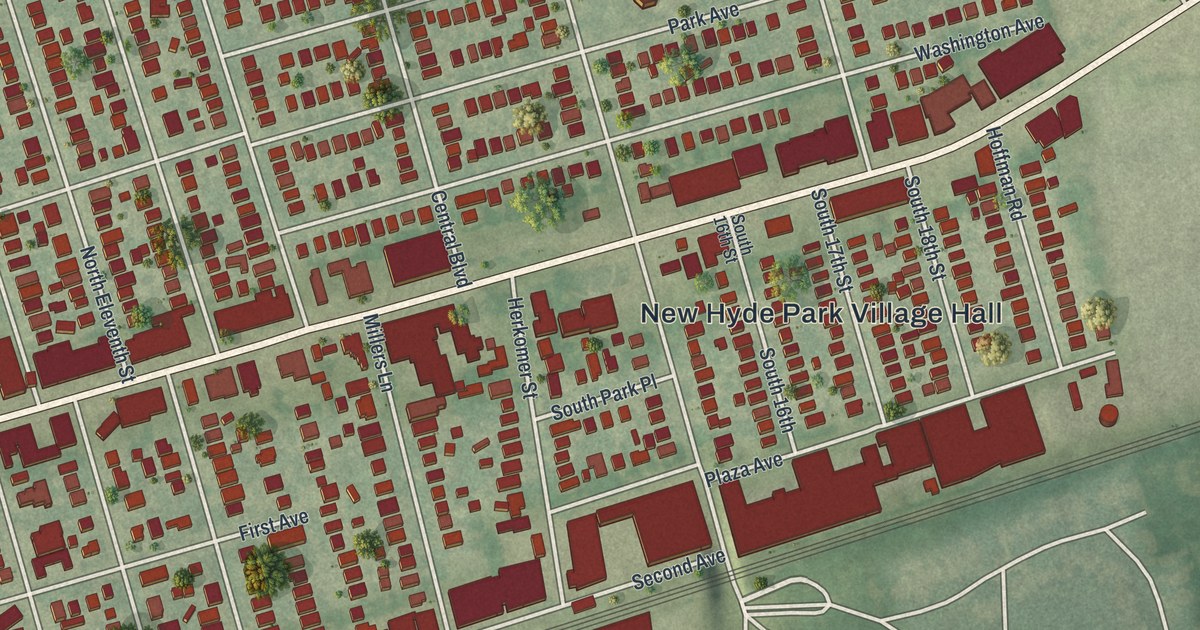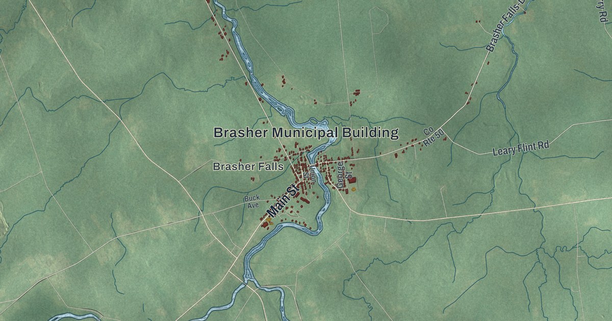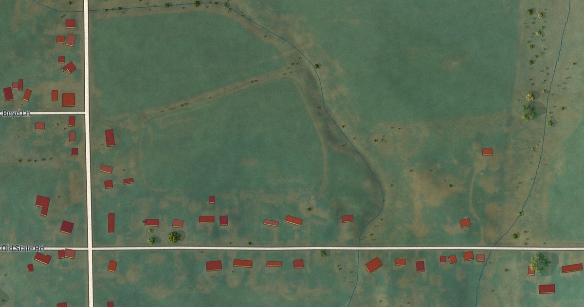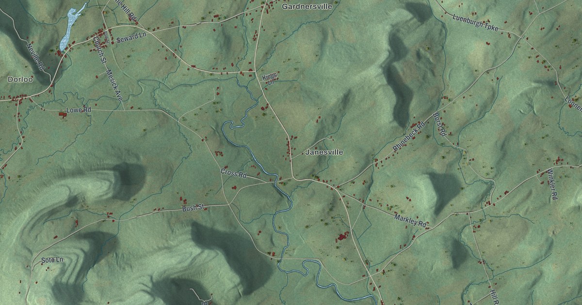
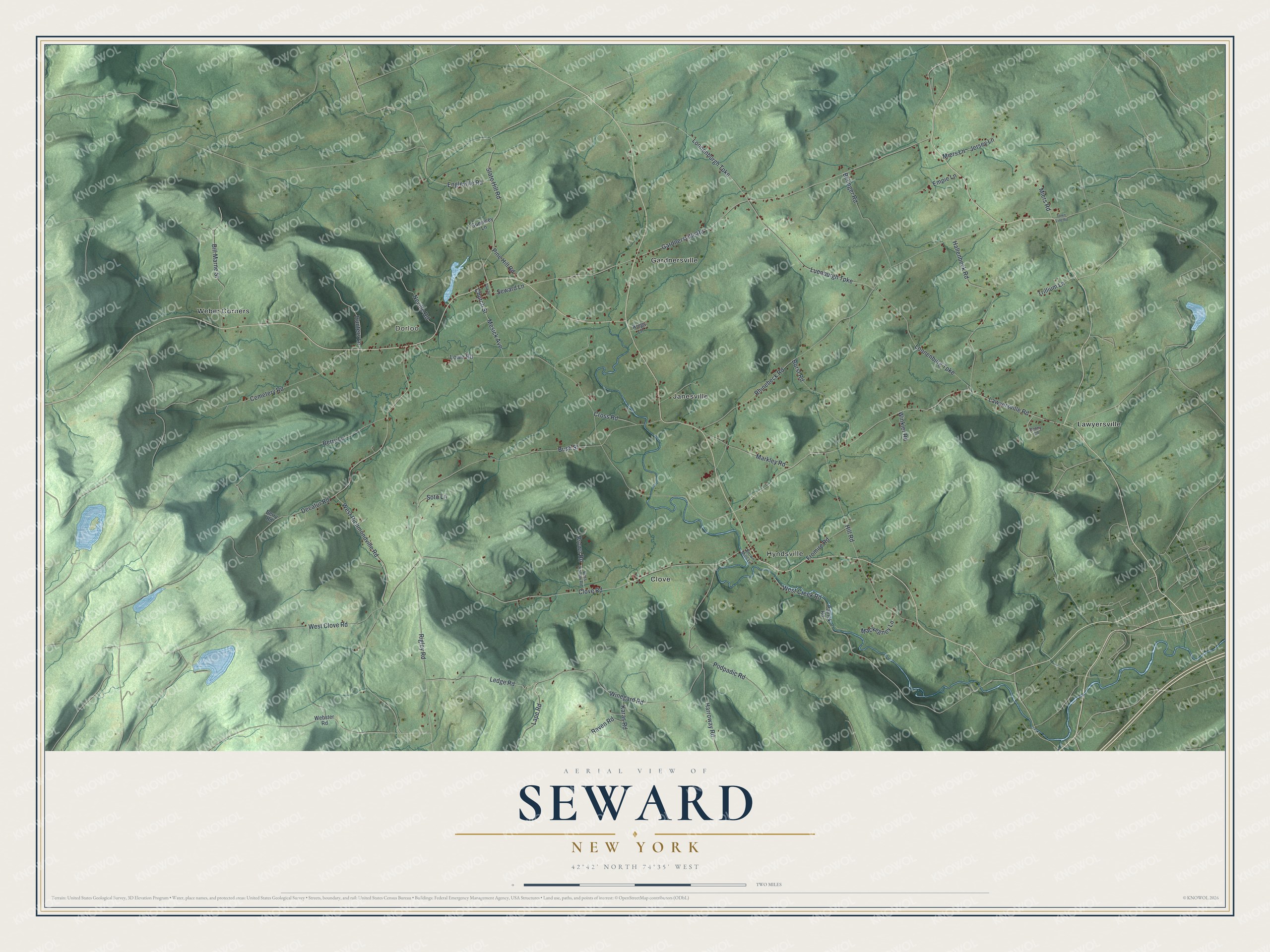
This beautifully detailed map of Seward, New York was created in 2026 using aerial imagery combined with modern topographical, census, street and landmark data. It’s a one-of-a-kind view of Seward that combines accurate data with a vintage aesthetic. The map shows every building in its true location, many of the roads carry their names, and the shaded topographic relief shows the shape of the land.
Explore an aerial view of Seward, New York
On the map you’ll find Dorloo, Clove, Gardnersville, Hyndsville, and Janesville, along with Brown Road, Seward Lane, Miers Road, Winegard Road, Richmondville Road, and more. If you look closely you can even find your house accurately drawn in its correct location. Zoom in on the preview to look for yours.
Did You Know?
This town honors William H. Seward, who served New York as senator and governor and later became secretary of state. Settlers first came around 1754. Fighting between loyalists and patriots destroyed much of the area during the Revolution. The town was formed from part of Sharon in 1840.
Take a closer look at the Seward map
Names on this map
These names are printed on this map.
Places: Dorloo, Clove, Gardnersville, Hyndsville, Janesville, Lawyersville and Weber Corners.
Streets and roads: Brown Road, Seward Lane, Miers Road, Winegard Road, West Richmondville Road, Gardnersville Road, Clove Road, Lowe Road, Rhinebeck Road, Lawyersville Road, Bush Street, Luenburgh Turnpike.
More street names, A to Z
Belinger Road, Berry Lane, Berry Road, Bill Marne Street, Borst Road, Brown Mills Lane, Cemetery Road, Church Street, Coss Hollow Road, Cross Road, Decatur Road, Empie Lane, Engleville Road, Fromire Road, Guernsey Lane, Hallenbeck Road, Harroway Road, Hill Road, Hunters Lane, Jersey Lane, Karas Road, Kings Lane, Lape Road, Ledge Road, Loonenburgh Turnpike, Loonenburg Turnpike, Mackegney Lane, Markley Road, Mesick Avenue, Miers Lane, Neville Road, Park Street, Patrick Road, Penny Lane, Pine Hill Road, Podpadic Road, Raven Road, Rigley Road, Slate Hill Road, Soto Lane, Town Line Road, Trillium Lane, Webster Road, West Clove Road, West Creek Road, Winkler Road.
See it on a wall
The Seward map as a framed print. Swipe for more.


This beautifully detailed map of Seward makes an attractive addition to your office, library, or den, and it can even be used to teach children the geography and history of the area. It also makes a great gift for anyone with Seward roots. When you’re done exploring, click here to get your copy of the Seward map.