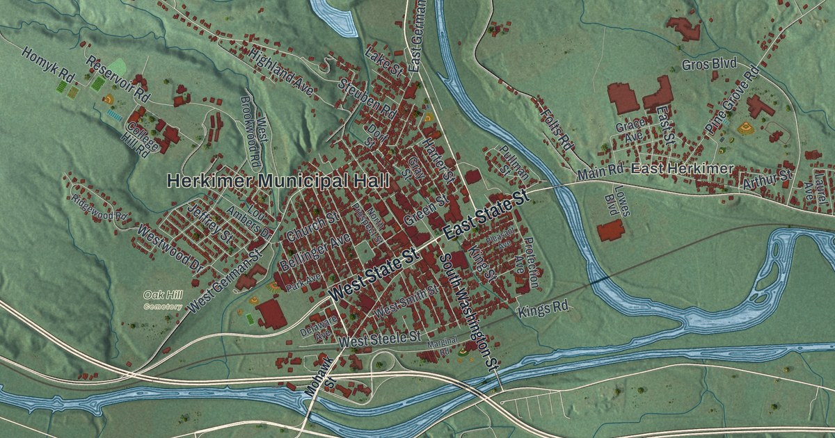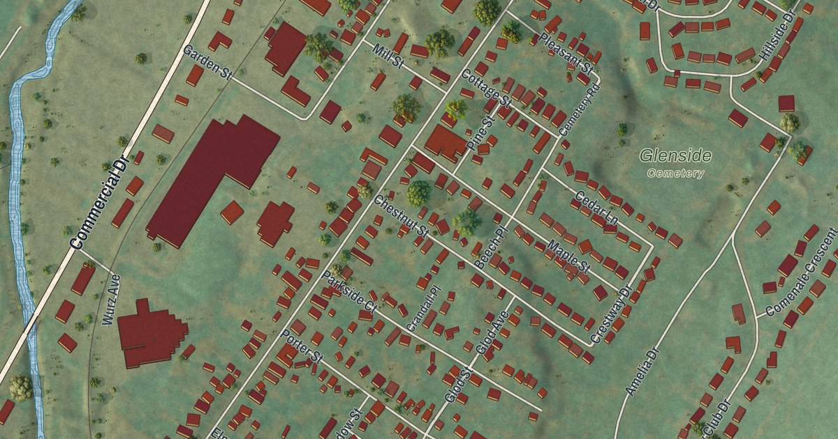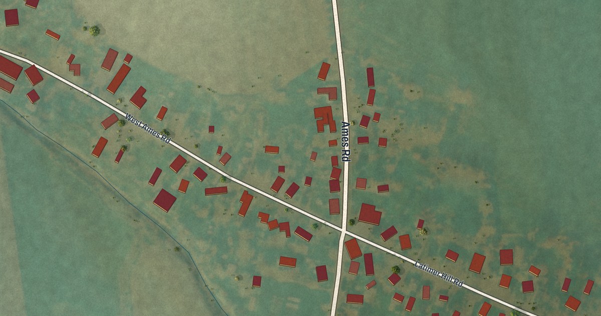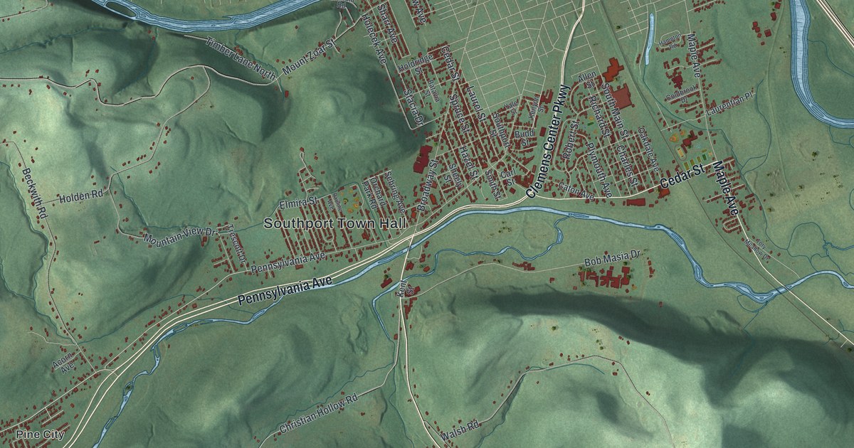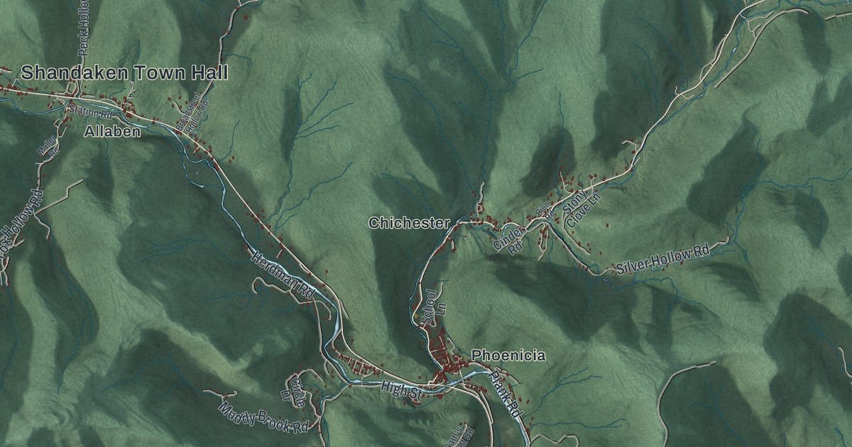
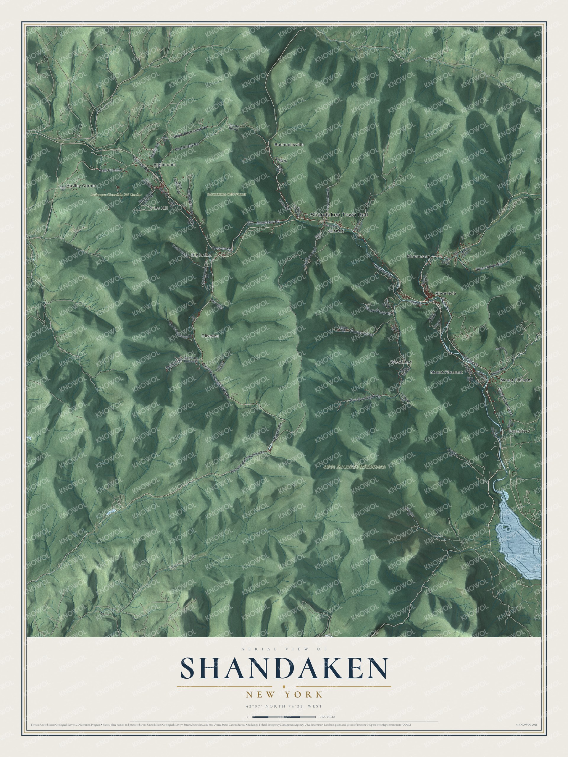
This beautifully detailed map of Shandaken, New York was created in 2026 using aerial imagery combined with modern topographical, census, street and landmark data. It’s a one-of-a-kind view of Shandaken that combines accurate data with a vintage aesthetic. The map shows every building in its true location, many of the roads carry their names, and the shaded topographic relief shows the shape of the land.
Explore an aerial view of Shandaken, New York
On the map you’ll find Shandaken Town Hall, Allaben, Beechford, Big Indian, Bushnellsville, Chichester, and Shandaken Wild Forest, along with Oliverea-Slide Mountain Road, Oliverea Road, Huron Trail, Shandaken Road, and more. If you look closely you can even find your house accurately drawn in its correct location. Zoom in on the preview to look for yours.
Did You Know?
By the late 1800s, Shandaken had built up a tourist trade, and it is still the town’s main business. The hamlet of Phoenicia was the first community reached by the Ulster and Delaware Railroad. It was also the earliest to build hotels for tourists.
Take a closer look at the Shandaken map
Names on this map
These names are printed on this map.
Places: Shandaken Town Hall, Belleayre Mountain Ski Center, Shandaken Wild Forest, Slide Mountain Wilderness, Allaben, Beechford, Big Indian, Bushnellsville, Chichester, Hanley Corner, Highmount, Mount Pleasant, Mount Tremper, Oliverea, Phoenicia, Pine Hill and Woodland.
Streets and roads: Oliverea-Slide Mountain Road, Oliverea Road, Huron Trail, Shandaken Road, Upper Birch Creek Road, Old Route 28, Plank Road, Birch Creek Road, Galli Curci Road, Woodland Valley Road, Herdman Road, Panther Kill Road.
More street names, A to Z
Andrew Lane, Baker Road, Bakley Road, Barley Road, Beaverkill Road, Big Indian-Slide Mountain Road, Bonnie View Avenue, Bradkin Road, Broadstreet Hollow Road, Burnham Hollow Road, Cinder Road, Circle Drive, Cold Brook Road, Creek Side Drive, Creek Side Road, Cruickshank Road, Crump Hill Road, Deer Lane, Emerson Terrace, Erica Drive, Fawn Hill Road, Ford Road, Fox Hollow Road, High Street, Kelly Road, Kurts Drive, Lake Street, Little Peck Hollow Road, Lost Clove Road, Main Street, Mc Kinley Hollow Road, Miller Road, Moonhaw Road, Mount Pleasant Road, Muddy Brook Road, Muller Road, Peck Hollow Road, Phil's Way, Rion Road, Rosa Road, Rose Mountain Road, Rudy Frank Road, Saint Kathrine Drive, Sam's Point Road, School Lane, Silver Hollow Road, Station Road, Stony Clove Creek, Stony Clove Lane, Tonisgah Road, Upper Road, Van Loan Road, Vet Road, Winne Road, Woodchuck Hollow Road.
See it on a wall
The Shandaken map as a framed print. Swipe for more.


This beautifully detailed map of Shandaken makes an attractive addition to your office, library, or den, and it can even be used to teach children the geography and history of the area. It also makes a great gift for anyone with Shandaken roots. When you’re done exploring, click here to get your copy of the Shandaken map.