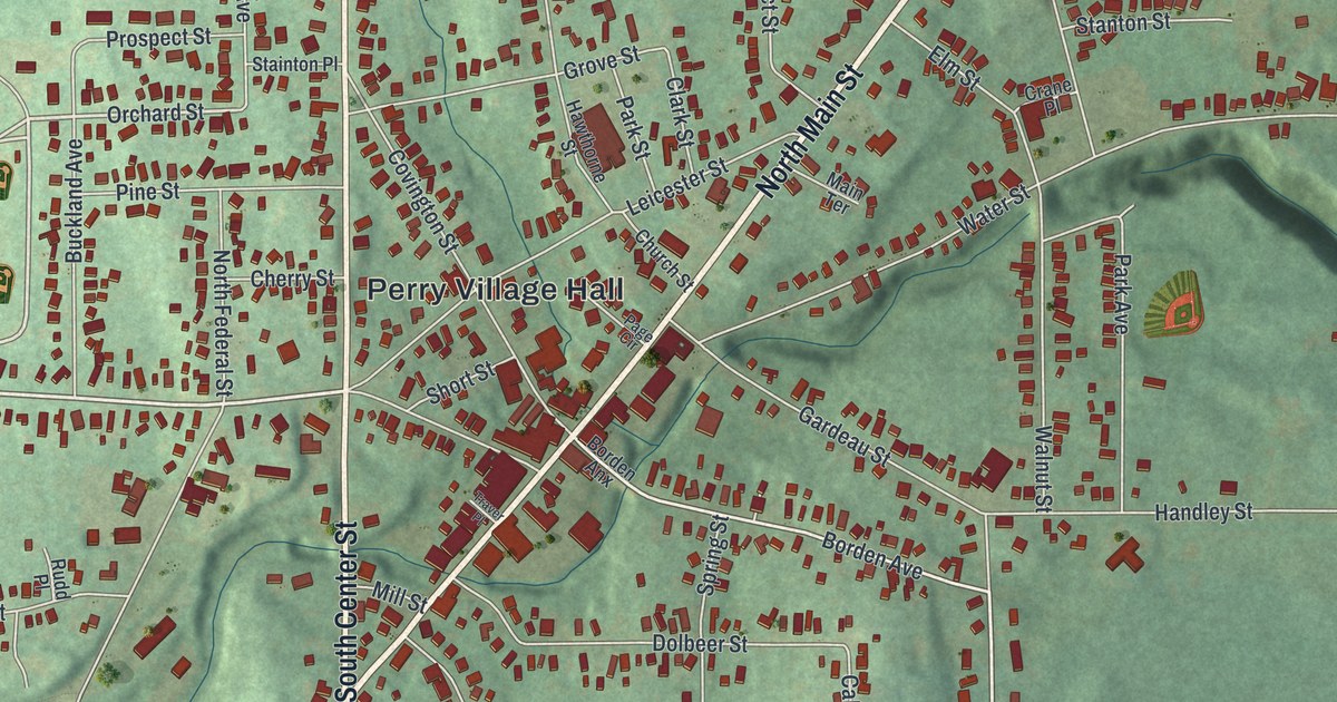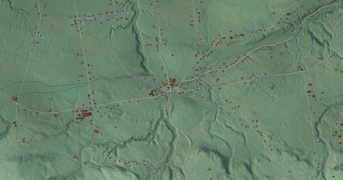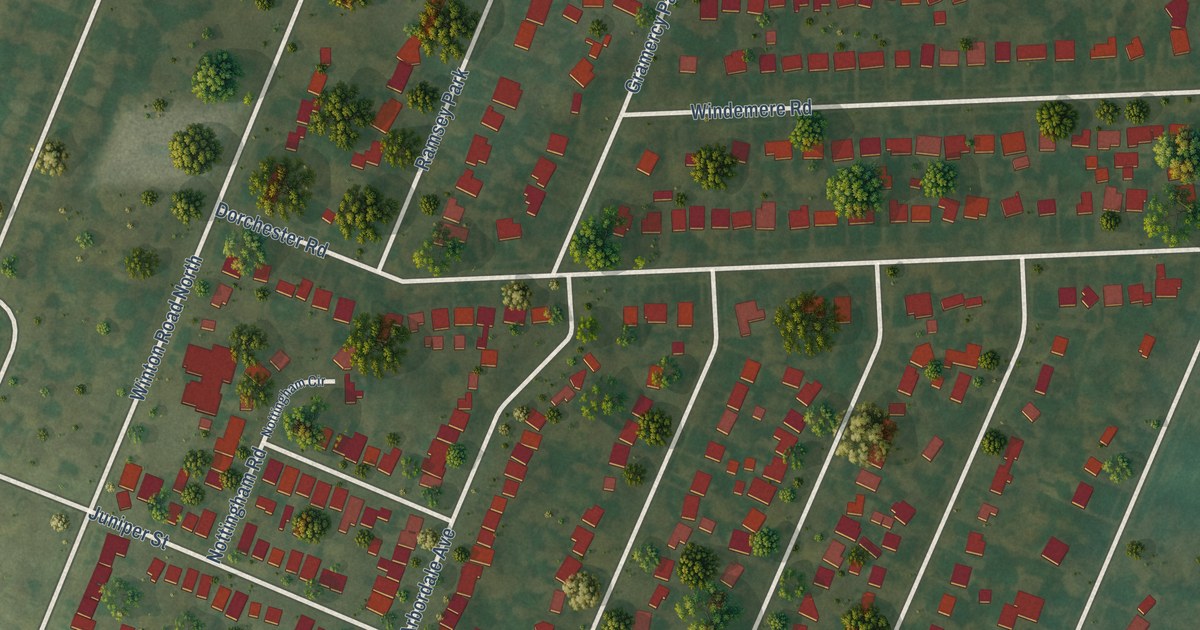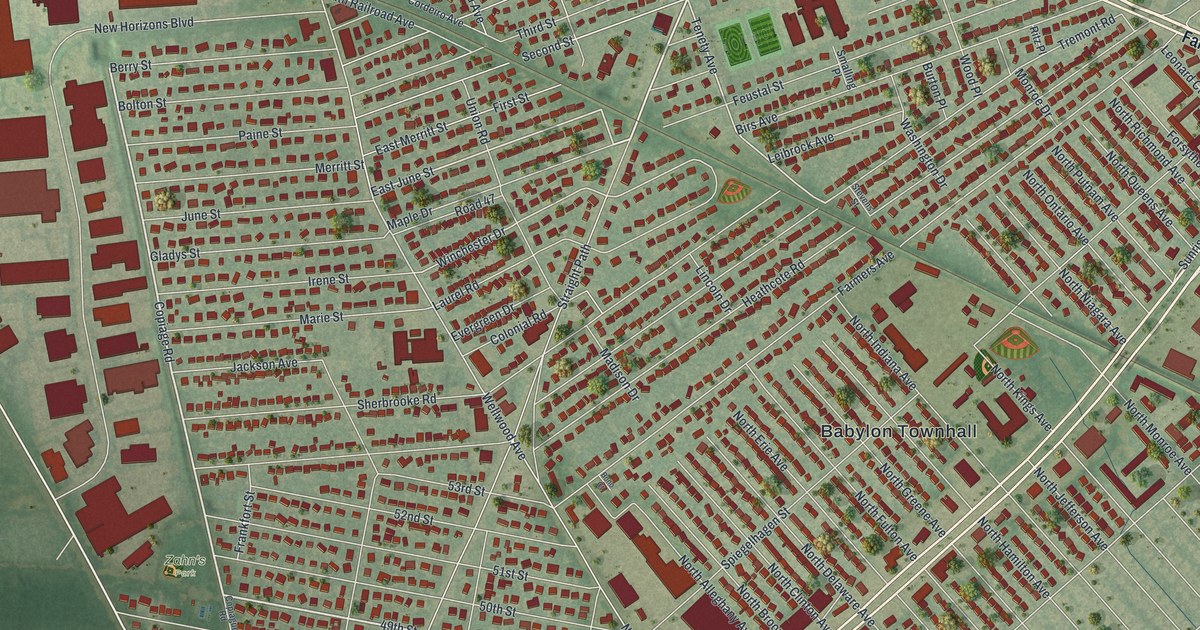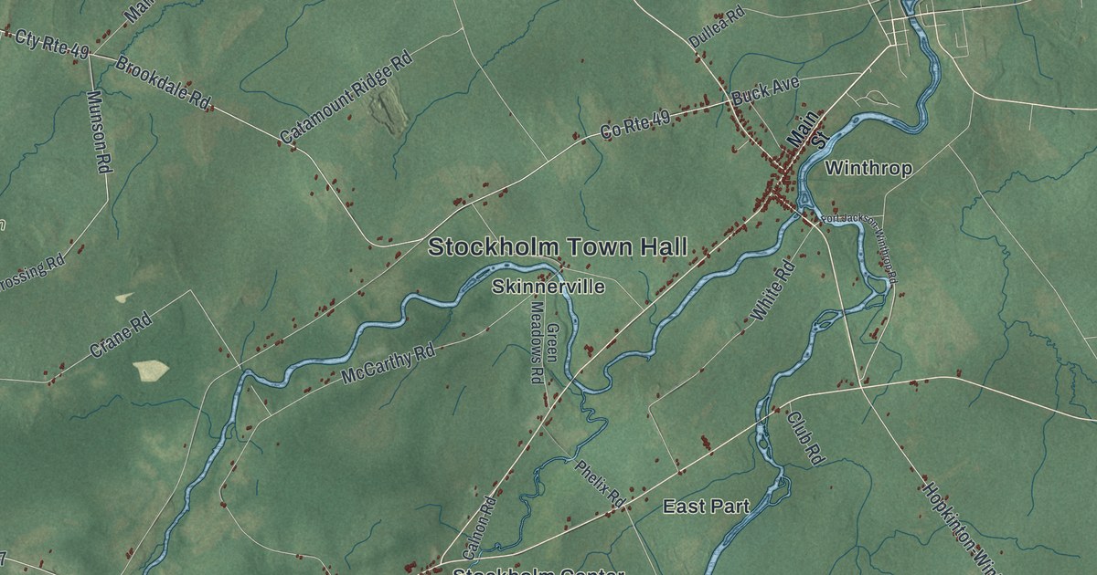
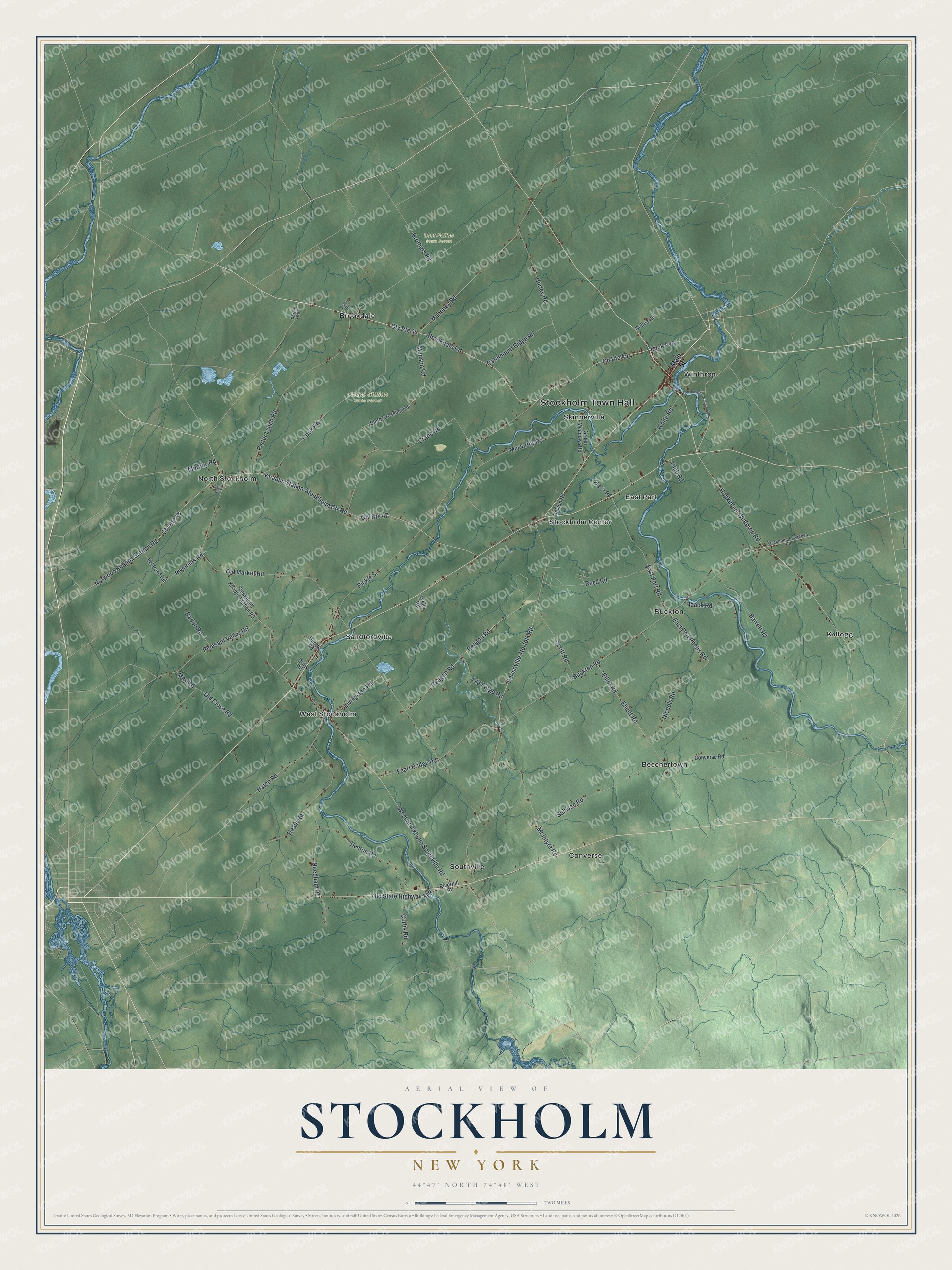
This beautifully detailed map of Stockholm, New York was created in 2026 using aerial imagery combined with modern topographical, census, street and landmark data. It’s a one-of-a-kind view of Stockholm that combines accurate data with a vintage aesthetic. The map shows every building in its true location, many of the roads carry their names, and the shaded topographic relief shows the shape of the land.
Explore an aerial view of Stockholm, New York
On the map you’ll find Stockholm Town Hall, Beechertown, Brookdale, Buckton, Converse, East Part, Knapp Station State Forest, and Lost Nation State Forest, along with Main Street, Brookdale Road, Buck Avenue, Knapps Station-Stockholm Ctr Road, and more. If you look closely you can even find your house accurately drawn in its correct location. Zoom in on the preview to look for yours.
Did You Know?
Surveyors gave this town its name, after Stockholm in Sweden. The state legislature split it off from Massena on February 21, 1806. When the War of 1812 came, some settlers fled the town, and fewer came back.
Take a closer look at the Stockholm map
Names on this map
These names are printed on this map.
Places: Stockholm Town Hall, Knapp Station State Forest, Lost Nation State Forest, Beechertown, Brookdale, Buckton, Converse, East Part, Kellogg, North Stockholm, Sandfordville, Skinnerville, Southville, Stockholm Center, West Stockholm and Winthrop.
Streets and roads: Cty Route 49, Brookdale Road, Buck Avenue, Knapps Station-Stockholm Ctr Road, Buckton Road, Crane Road, Parishville-Norfolk Road, Reagon Road, East Part Road, West Stockholm Southville Road, Elliot Road, Old Market Road.
More street names, A to Z
Barrett Road, Benton Road, Blind Crossing Road, Brothers Road, Calnon Road, Catamount Ridge Road, Club Road, Converse Road, Cook Road, County Route 49, Cty Route 47, Cty Route 48, Curtis Road, Duddy Road, Dullea Road, Duty Road, East Part Phelix Road, Eel Pond Road, Elliott Road, Fearl Bridge Road, Fort Jackson-Winthrop Road, Green Meadows Road, Haack Road, Hatch Road, Heath Road, Hopkinton-Winthrop Road, Hurley Road, Livingston Road, Mahoney Road, Main Street, May Road, McCarthy Road, McIntyre Road, Munson Road, Murphy Road, Needham Road, Nichols Road, Norwood Knapps Station Road, Obrien Road, Old Close Road, Old Forge Road, Phelix Road, Pickle Street, Pleasant Valley Road, Porter Lynch Road, Radch Road, Reagan Road, Reed Road, Reynolds Road, Riverhill Road, Scott Road, Shop Road, Stockholm-Lawrence Road, Stockholm Knapps Station Road, Sullivan Road, Tryon Road, Wells Road, White Road.
See it on a wall
The Stockholm map as a framed print. Swipe for more.


This beautifully detailed map of Stockholm makes an attractive addition to your office, library, or den, and it can even be used to teach children the geography and history of the area. It also makes a great gift for anyone who grew up in Stockholm or moved away. When you’re done exploring, click here to get your copy of the Stockholm map.