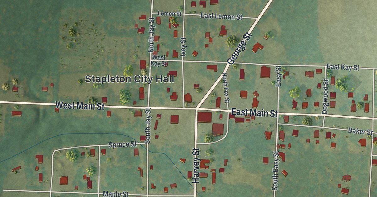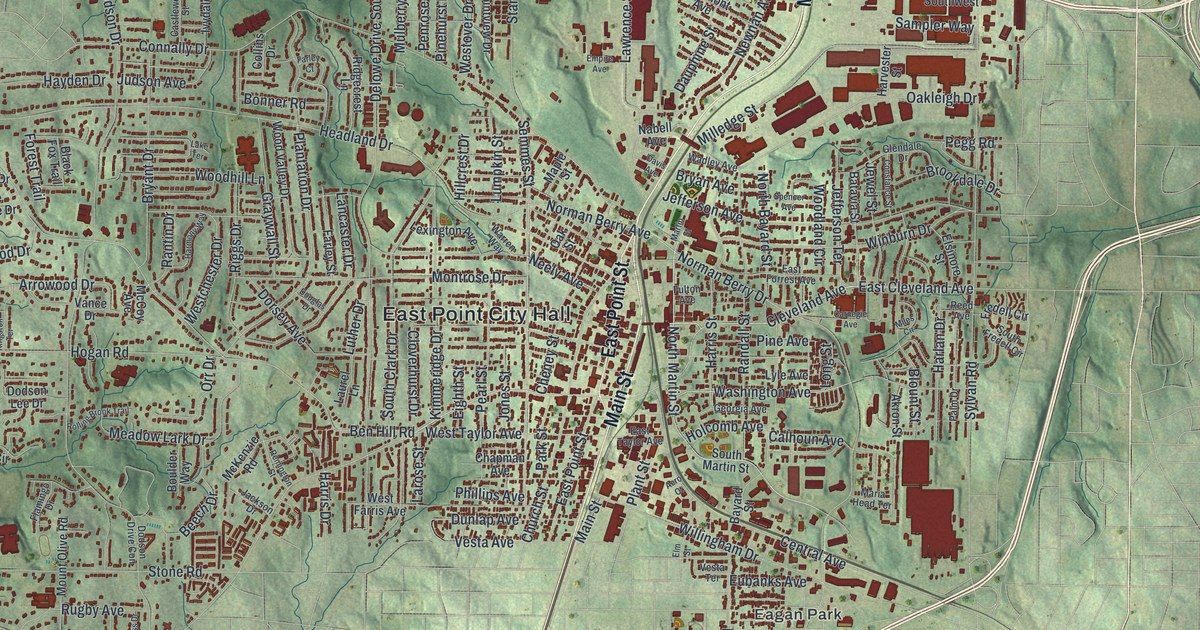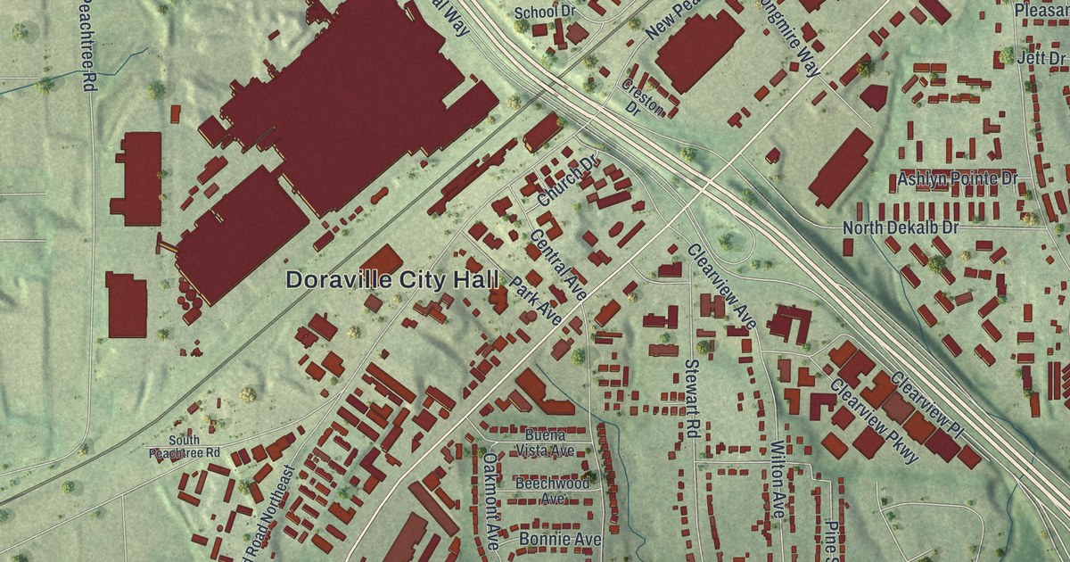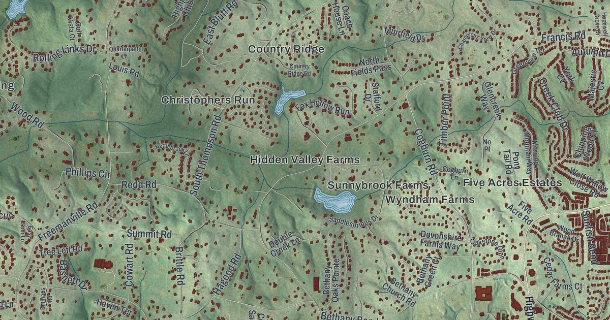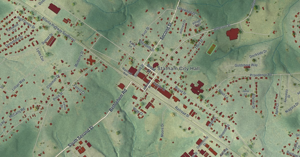
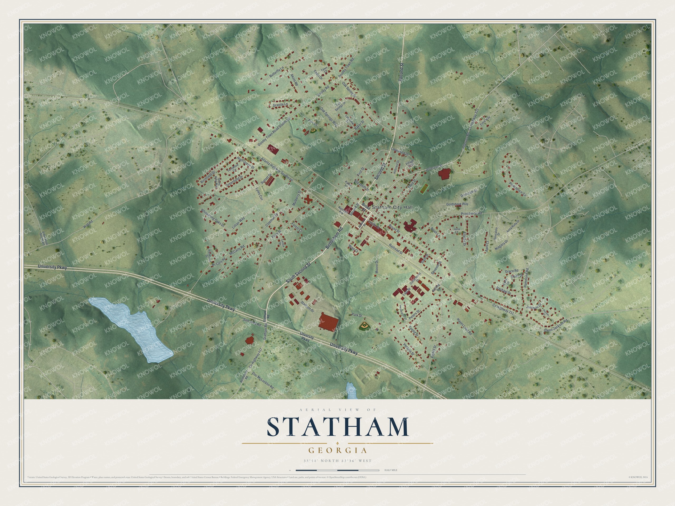
This beautifully detailed map of Statham, Georgia was created in 2026 using aerial imagery combined with modern topographical, census, street and landmark data. It’s a one-of-a-kind view of Statham that combines accurate data with a vintage aesthetic. The map shows every building in its true location, many of the roads carry their names, and the shaded topographic relief shows the shape of the land.
Explore an aerial view of Statham, Georgia
On the map you’ll find Statham City Hall, along with Bethlehem Road, Second Street, University Parkway, Unversity Parkway, and more. If you look closely you can even find your house accurately drawn in its correct location. Zoom in on the preview to look for yours.
Take a closer look at the Statham map
Names on this map
These names are printed on this map.
Places: Statham City Hall.
Streets and roads: Bethlehem Road, South Second Street, Second Street, University Parkway, Broad Street, County Highway 322, County Highway 417, Jefferson Street, County Highway 211, Statham Road, Jefferson Road, Glenn Jackson Road.
More street names, A to Z
Akins Road, Amicalola Drive, Anna Ruby Drive, April Court, Atlanta Highway Southeast, Baker Street, Birchfield Drive, Bulldog Drive, Butterfly Lane, Callie Lane, Coleman Drive, Commercial Drive, Dockside Drive, Doc McLocklin Road, Dooley Road, Dooley Town Road, Dooley Town Road Southeast, Eighth Street, Elder Road Southeast, Elizabeth Street, Ellerbe Drive, Ernie Way, Euclid Street, Fawn Court, Fawn Drive, Fernwood Circle, Fieldcrest Drive, First Street, Forest Court, Furr Lane, Goldshore Way, Grace Road, Grand View Way, Granite Lane, Greenfield Drive, Hammond Road, Hayes Lake Road, High Green Drive, Hillcrest Drive, Jackson Drive, Jana Lane, Kathy Lane, Lakeview Drive, Lakewood Drive, Last Street, Lenox Drive, Lillian Way, Lucille Street, Lyles Cor, McCarty Road, Mc Carty Road, Moore Drive, Mulberry Street, Niagara Drive, Noah Lane, Oak Springs Drive, Oak Spring Street, Oak Springs Way, Park Street, Pendergrass Drive, Peters Street, Price Street, Providence Circle, Providence Road, Rachael Drive, Railroad Avenue, Railroad Street, Reynolds Court, Sam Sims Road, Seventh Street, Sixth Street, Smith Drive, Statham Drive, Sunset Drive, Third Street, Unversity Parkway, Ventura Street, Village Pass, Wall Road, Whispering Oaks Drive, Wise Court.
See it on a wall
The Statham map as a framed print. Swipe for more.


This beautifully detailed map of Statham makes an attractive addition to your office, library, or den, and it can even be used to teach children the geography and history of the area. It also makes a great gift for anyone who grew up in Statham or moved away. When you’re done exploring, click here to get your copy of the Statham map.