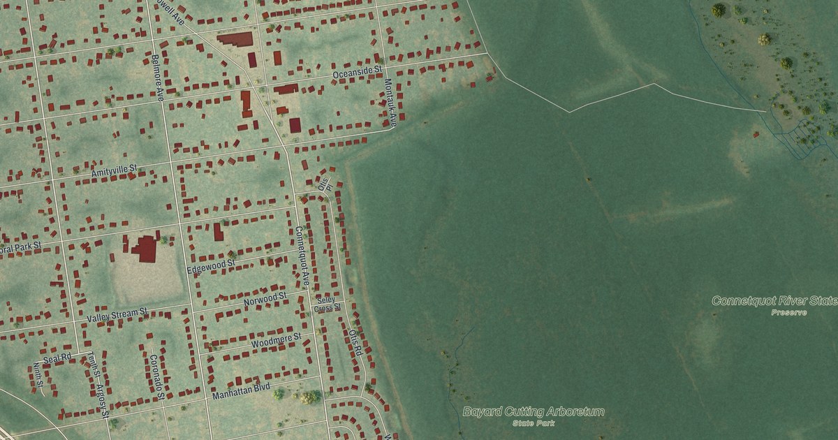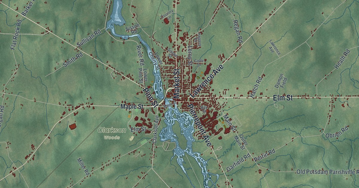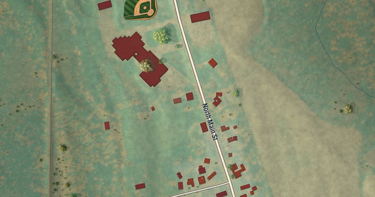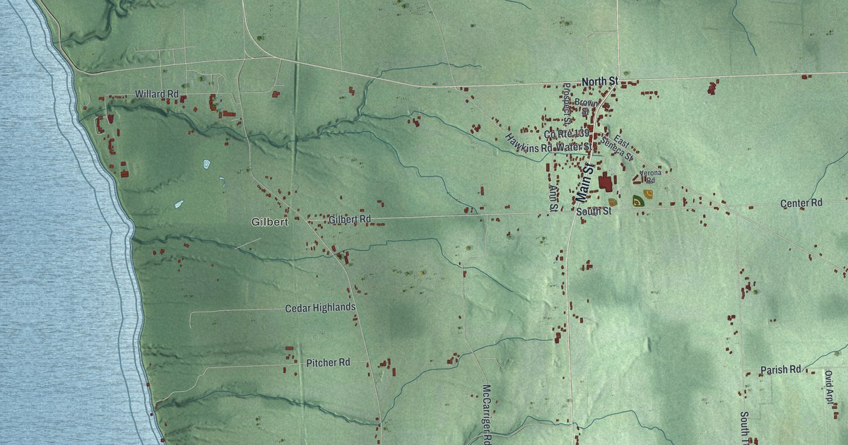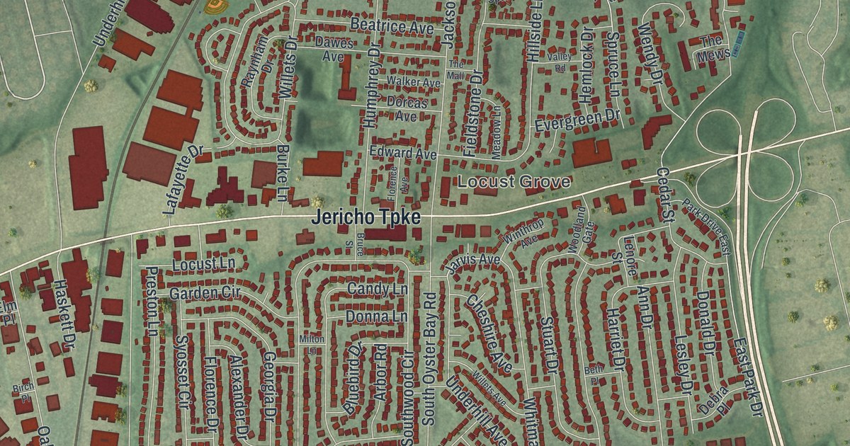
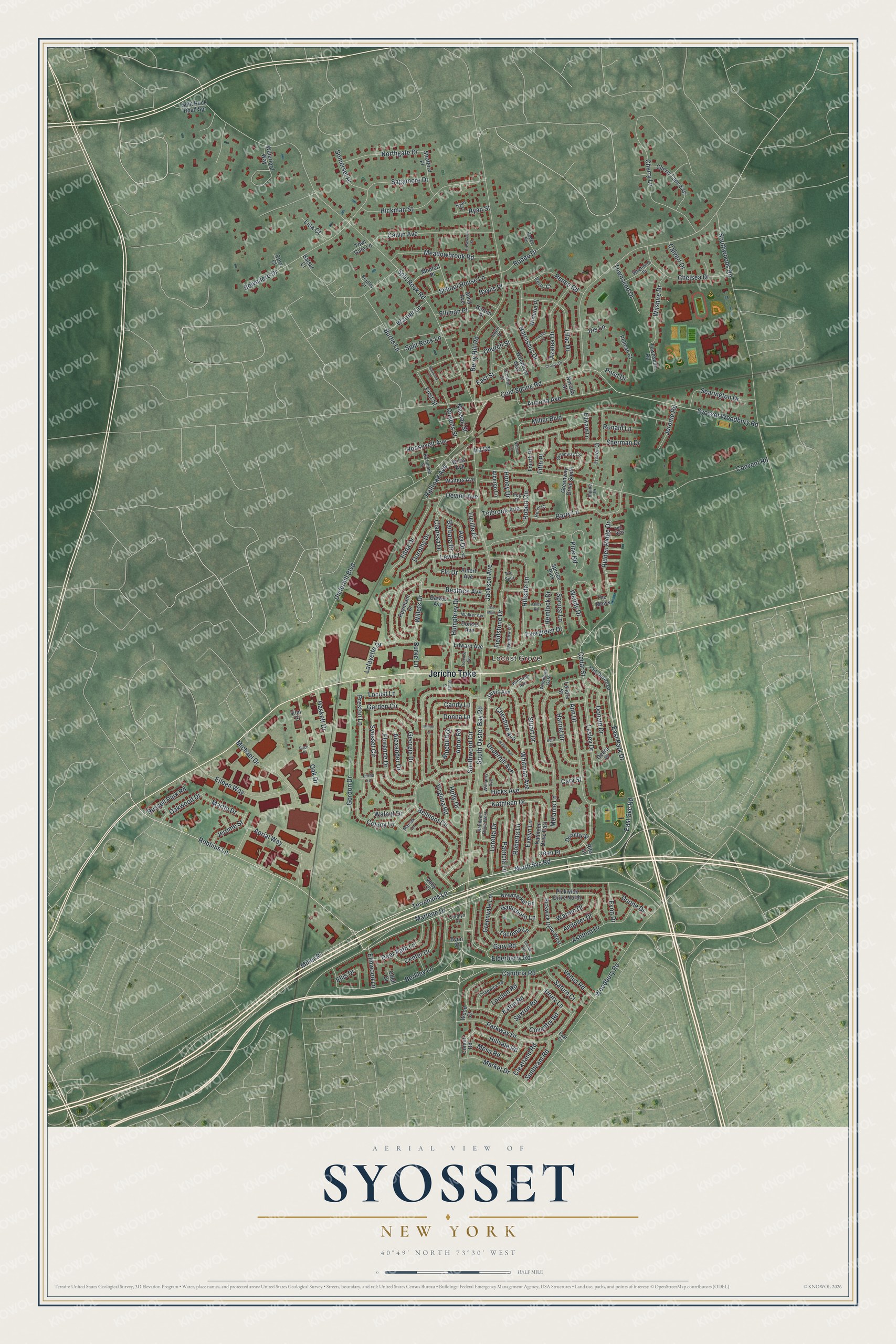
This beautifully detailed map of Syosset, New York was created in 2026 using aerial imagery combined with modern topographical, census, street and landmark data. It’s a one-of-a-kind view of Syosset that combines accurate data with a vintage aesthetic. The map shows every building in its true location, many of the roads carry their names, and the shaded topographic relief shows the shape of the land.
Explore an aerial view of Syosset, New York
On the map you’ll find Locust Grove, along with Jericho Turnpike, Terrehans Lane, Marlene Drive, Svc Road, Robbins Lane, and more. If you look closely you can even find your house accurately drawn in its correct location. Zoom in on the preview to look for yours.
Did You Know?
The Matinecock people lived on the land where Syosset stands. Dutch and English colonists began to settle here in the 1600s. Centuries later the hamlet grew into a busy suburb. In 1962 Syosset Hospital opened to give it local medical care.
Take a closer look at the Syosset map
Names on this map
These names are printed on this map.
Places: Locust Grove and Spruce Park.
Streets and roads: Jericho Turnpike, Terrehans Lane, Marlene Drive, North Svc Road, Robbins Lane, East Park Drive, East Svc Road, Elmwood Lane, Ann Drive, Split Rock Road, Woodbury Road, South Oyster Bay Road.
More street names, A to Z
Abby Lane, Aerial Way, Albergo Lane, Albert Avenue, Alexander Drive, Alpine Drive, Andover Drive, Anita Avenue, Arbor Road, Arizona Avenue, Ashford Drive, Ava Drive, Avon Court, Azalea Drive, Balsar Court, Barbara Drive, Barry Lane, Baylis Place, Beatrice Avenue, Belmont Circle, Belvedere Drive, Berkley Lane, Berry Hill Road, Beth Place, Birch Place, Bluebird Drive, Bradley Court, Bruce Street, Burke Lane, Burtis Lane, Calvert Drive, Calvin Avenue, Cambria Road, Candy Lane, Carolyn Court, Cary Street, Cedar Street, Center Drive, Chadwick Road, Chelsea Drive, Cherry Lane, Cherry Lane East, Cheshire Avenue, Church Street, Clarissa Drive, Clearland Road, Cold Spring Road, Colony Lane, Comet Road, Convent Road, Cory Court, Coventry Road, Crestwood Street, Crocus Drive, Crome Road, Dawes Avenue, Debra Place, Deer Path Lane, Devine Avenue, Donald Drive, Donna Lane, Doone Drive, Dorcas Avenue, Dorothy Drive, Dorothy Street, Drury Lane, East Court, East Street, Eaton Road, Edna Drive, Edward Avenue, Edward Lane, Eileen Way, Elderberry Road, Elliman Place, Ellis Drive, Elm Place, Evelyn Lane, Evergreen Drive, Evon Drive, Fen Way, Fieldstone Drive, Fifth Place, First Street, Flo Drive, Florence Avenue, Florence Drive, Fourth Place, Gainsboro Lane, Garden Circle, Gary Road, Georgia Drive, Gordon Drive, Greenvale Lane, Greenway Circle, Greenway Drive South, Harmony Court, Harriet Drive, Haskett Drive, Hemlock Drive, Henni Court, Hickman Street, Hicks Avenue, Hidden Ridge Drive, Hillside Lane, Hillvale Road, Holly Drive, Honey Drive, Horton Place, Humphrey Drive, Ira Road, Iris Lane, Jackson Avenue, Jarvis Avenue, Jean Place, Jerome Road, Jerome Street, Kathleen Drive, Kathleen Drive East, Kathleen Drive West, Lafayette Drive, Laurel Lane, Lenore Street, Lesley Drive, Lewis Lane, Lilac Drive, Linda Lane, Lisa Court, Locust Lane, London Road, Loretta Drive, Lucille Drive, Market Drive, Marsak Lane, Martin Drive, Meadowbrook Road, Meadow Lane, Melanie Lane, Mesa Road, Michael Drive, Miller Boulevard, Miller Place, Milton Lane, Monfort Place, Narcissus Drive, Nassau Street, Nathan Court, Nevada Street, Newmarket Road, Northgate Drive, North Street, Oak Drive, Oakwood Drive, Odell Court, Orchard Street, Park Drive East, Parkway Drive, Patricia Lane, Peg Place, Pelican Court, Perry Court, Pickwick Drive North, Pickwick Drive West, Pine Road, Pond Drive, Preston Lane, Queens Street, Railroad Avenue, Raynham Drive, Renee Road, Richmond Street, Rita Street, Roberta Lane, Robert Circle, Rodeo Circle, Rodeo Drive, Ronald Lane, Roosevelt Avenue, Russell Park Road, Ryan Court, Ryan Street, Sagamore Drive, Saturn Court, School House Lane, Searington Drive, Sexton Road, Sherman Drive, Somerset Place, Southwood Circle, Southwoods Road, Split Rock Lane, Split Rock Road Spr, Spruce Lane, Stratford Place, Stuart Drive, Sunbeam Road, Syosset Circle, Syosset Woodbury Road, Tacoma Lane, Teibrook Avenue, The Mall, The Mews, The Spur, Tower Court, Towl Gate Lane, Townsend Drive, Townsend Road, Underhill Avenue, Underhill Boulevard, Valley Road, Venus Road, Virginia Road, Walker Avenue, Walnut Drive, Walters Avenue, Warner Lane, Warren Drive, Waterford Way, Wendy Drive, Whetmore Drive, Whitman Avenue, Willets Avenue, Willets Drive, Williams Avenue, Willis Avenue, Wilshire Drive, Winthrop Avenue, Wisteria Place, Woodbury Way, Wood Court, Woodland Gate.
See it on a wall
The Syosset map as a framed print. Swipe for more.


This beautifully detailed map of Syosset makes an attractive addition to your office, library, or den, and it can even be used to teach children the geography and history of the area. It also makes a great gift for someone who left Syosset and still calls it home. When you’re done exploring, click here to get your copy of the Syosset map.