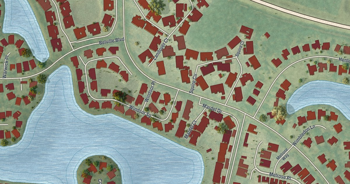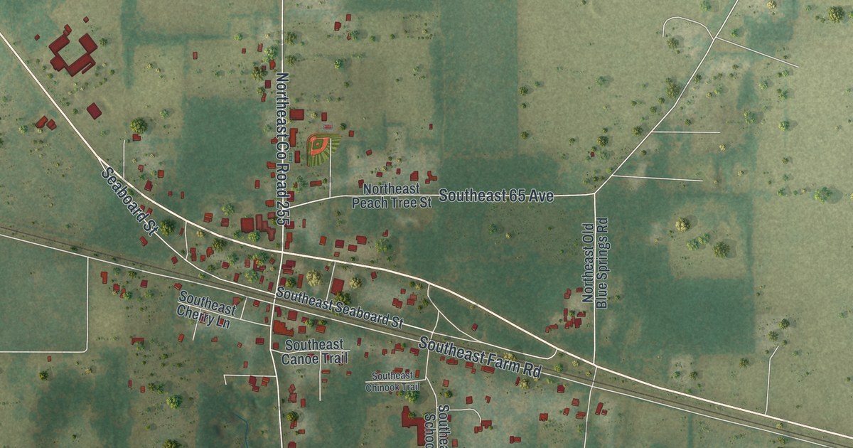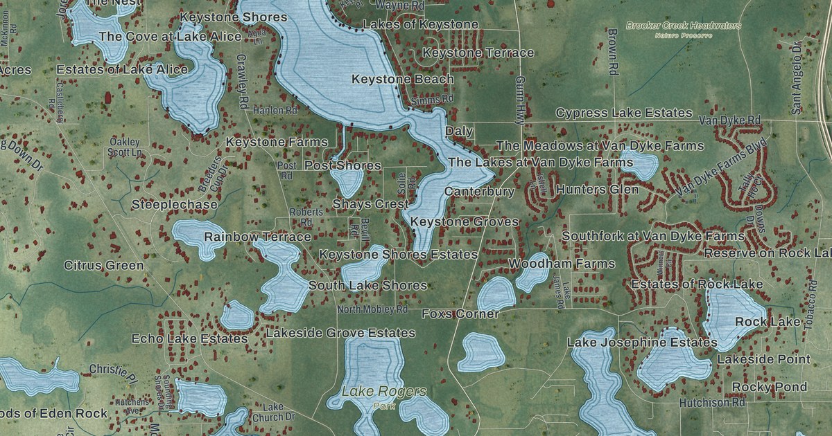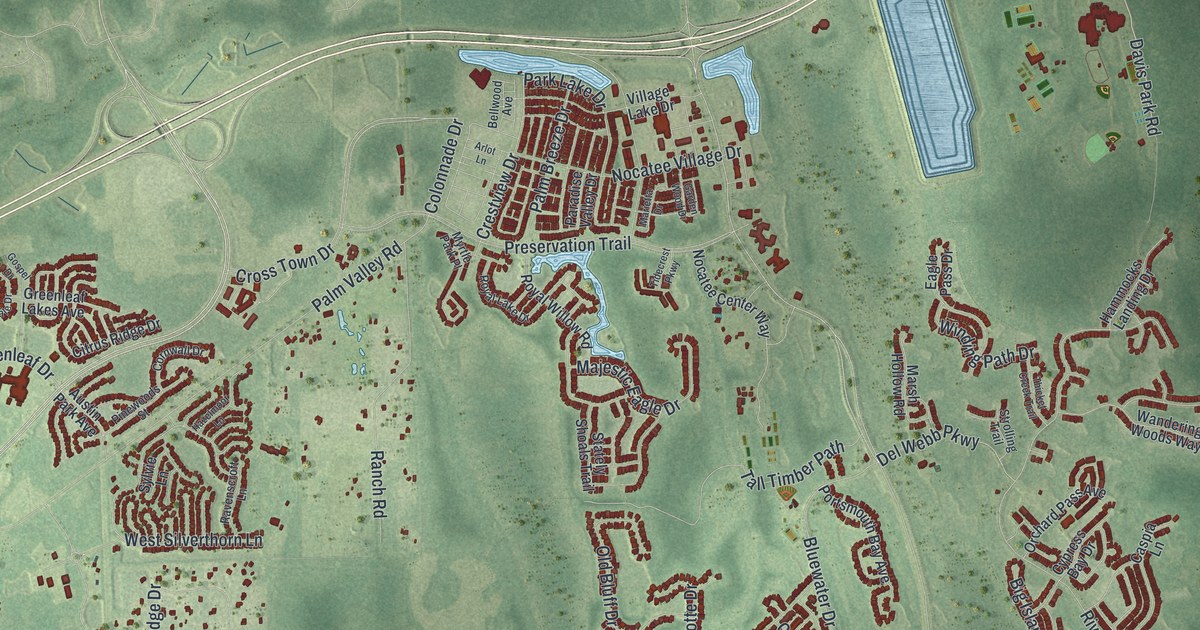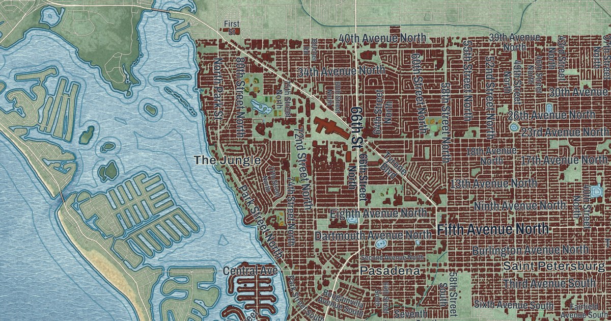
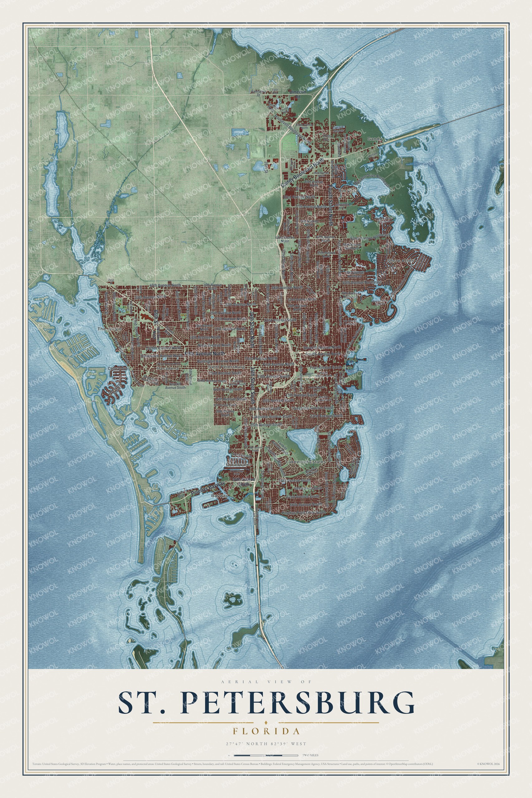
This beautifully detailed map of St. Petersburg, Florida was created in 2026 using aerial imagery combined with modern topographical, census, street and landmark data. It’s a one-of-a-kind view of St. Petersburg that combines accurate data with a vintage aesthetic. The map shows every building in its true location, many of the roads carry their names, and the shaded topographic relief shows the shape of the land.
Explore an aerial view of St. Petersburg, Florida
On the map you’ll find Bayway, Broadwater, Gandy, Lakewood Estates, Pasadena, Rio Vista, Shore Acres, The Jungle, and Pinellas Bayway, along with 66th Street, Fourth Street North, and more. If you look closely you can even find your house accurately drawn in its correct location. Zoom in on the preview to look for yours.
Did You Know?
In 1914, St. Petersburg became the starting point of what is generally called the first scheduled commercial airline flight. The St. Petersburg-Tampa Airboat Line flew across Tampa Bay and back. Pilot Tony Jannus flew a Benoist XIV flying boat. His first passenger was former mayor Abe Pheil.
Take a closer look at the St. Petersburg map
Names on this map
These names are printed on this map.
Places: Bayway, Broadwater, Gandy, Lakewood Estates, Pasadena, Rio Vista, Saint Petersburg, Shore Acres and The Jungle.
Streets and roads: Pinellas Bayway, 66th Street, Fourth Street North, Gandy Boulevard North, Fifth Avenue North, 34th Street South, 34th Street North, Third Avenue South, Fifth Avenue South, First Street North, First Street Northeast, Columbus Way South.
More street names, A to Z
13th Avenue North, 13th Avenue South, 14th Avenue South, 14th Street North, 15th Avenue South, 16th Street, 16th Street North, 16th Street South, 17th Avenue North, 17th Avenue South, 17th Street North, 18th Avenue North, 18th Avenue South, 18th Street North, 18th Street South, 19th Street North, 19th Street South, 20th Avenue Northeast, 20th Avenue South, 20th Street North, 22nd Avenue North, 22nd Avenue South, 22nd Street North, 23rd Avenue North, 24th Street North, 25th Street North, 26th Avenue North, 26th Avenue South, 28th Avenue North, 28th Street, 28th Street North, 28th Street South, 29th Street South, 30th Avenue North, 31st Street North, 31st Street South, 32nd Avenue North, 33rd Street North, 34th Avenue North, 34th Avenue Northeast, 37th Street North, 37th Street South, 38th Avenue North, 38th Avenue South, 39th Avenue North, 40th Avenue North, 40th Avenue Northeast, 40th Street North, 42nd Avenue South, 43rd Street North, 44th Avenue Northeast, 46th Street North, 49th Street North, 50th Avenue South, 52nd Street North, 54th Avenue North, 54th Avenue South, 55th Street North, 58th Avenue Northeast, 58th Avenue South, 58th Street North, 58th Street South, 60th Street North, 62nd Avenue North, 62nd Avenue Northeast, 62nd Avenue South, 62th Avenue North, 64th Street North, 64th Street South, 66th Avenue South, 66th Street North, 68th Street North, 70th Avenue North, 72nd Avenue Northeast, 72nd Street North, 74th Street North, 75th Street North, 77th Avenue North, 77th Street North, 78th Avenue North, 79th Street South, 80th Street North, 83rd Avenue North, 89th Avenue North, 94th Avenue North, 112th Avenue, 118th Avenue North, Alhambra Way South, Bahama Shores Drive South, Bay Street Northeast, Bayview Drive Northeast, Beach Drive Northeast, Beach Drive Southeast, Belcher Road, Bougainvilla Avenue South, Burlington Avenue North, Carillon Parkway, Carillon Pwky, Central Avenue, Cortez Way South, Dartmouth Avenue North, Denver Street Northeast, Doctor Mlk Street, Egret Boulevard, Eighth Avenue North, Eighth Street North, Eleventh Street North, Executive Drive, Fairfield Avenue South, Fairway Avenue South, Fifth Street North, First Avenue North, First Avenue South, First Street, First Street South, First Street Southeast, Fourth Avenue North, Fourth Avenue South, Fourth Street South, Iowa Avenue Northeast, Iris Street North, Lakeview Avenue South, Lincoln Shores, Mentone Drive, Newton Avenue South, Ninth Avenue North, Ninth Avenue South, Ninth Street North, North Park Street, Overlook Drive Northeast, Park Street North, Park Street South, Pinellas Point Drive South, Poplar Street Northeast, Roosevelt Boulevard North, Second Avenue North, Second Avenue South, Second Street North, Seventh Avenue North, Seventh Avenue South, Seventh Street North, Seventh Street South, Sixth Avenue South, Sixth Street South, Stadium Drive, Sun Boulevard, Sunrise Drive South, Sunshine Skyway Lane South, Tangerine Avenue South, Tenth Avenue South, Third Avenue North, Third Street South, Twelfth Street North, Tyrone Boulevard, Ulmerton Road, Waterford, Weedon Drive Northeast, Whiting Drive Southeast.
See it on a wall
The St. Petersburg map as a framed print. Swipe for more.


This beautifully detailed map of St. Petersburg makes an attractive addition to your office, library, or den, and it can even be used to teach children the geography and history of the area. It also makes a great gift for someone who left St. Petersburg and still calls it home. When you’re done exploring, click here to get your copy of the St. Petersburg map.