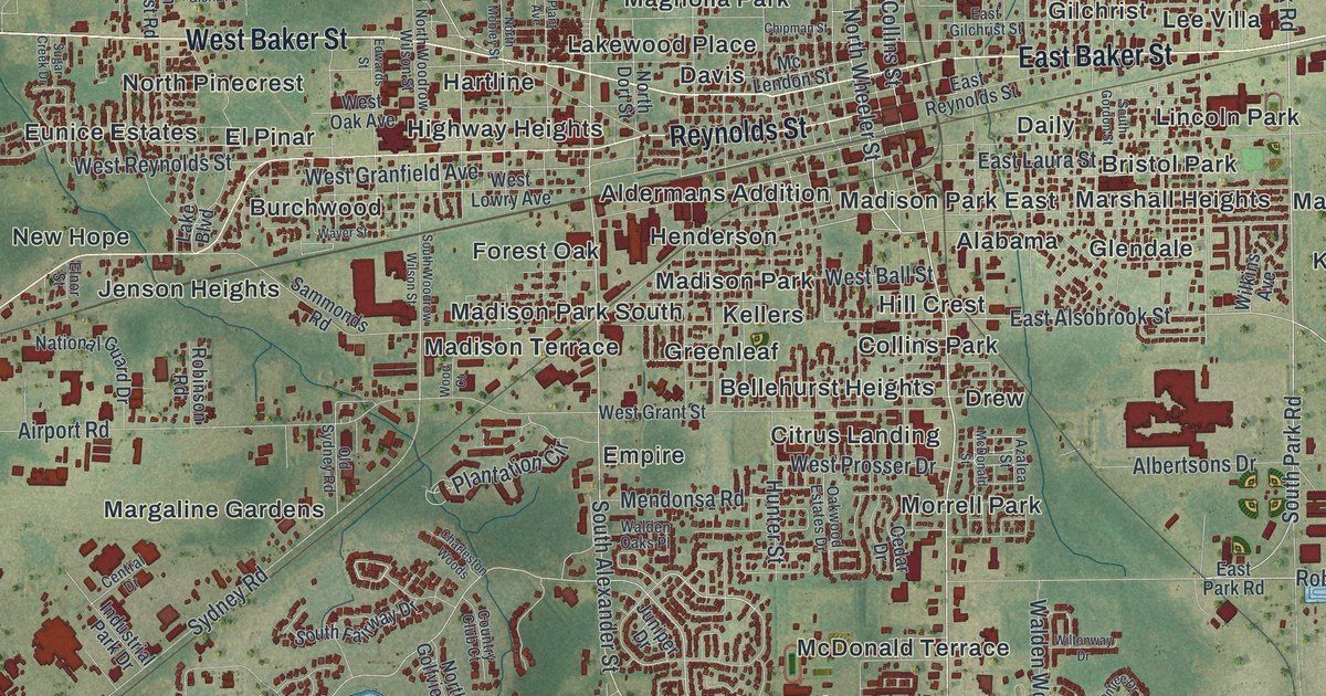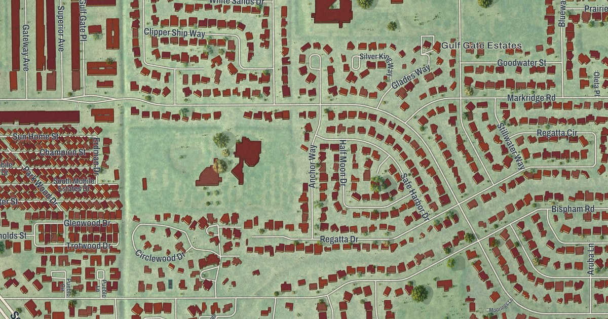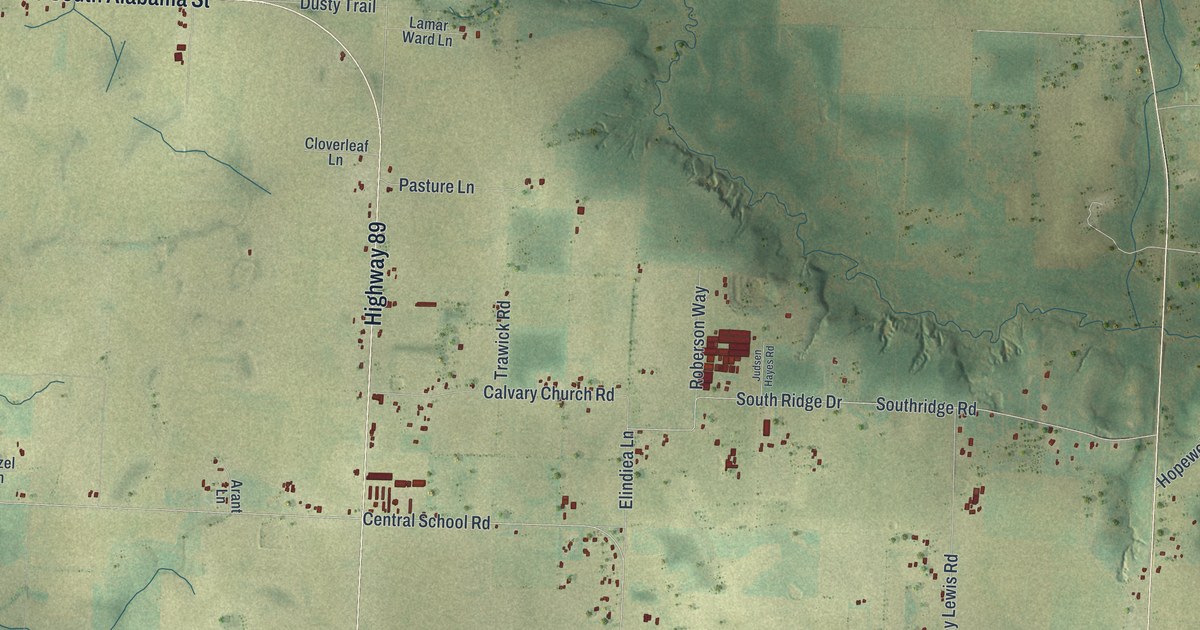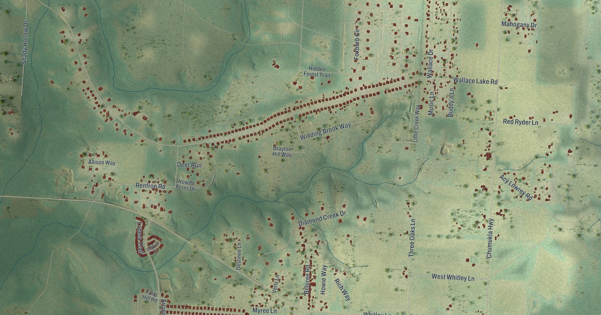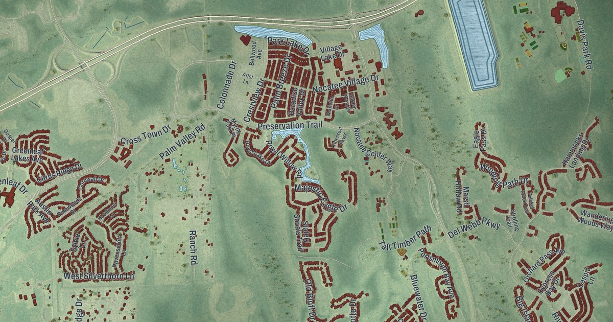
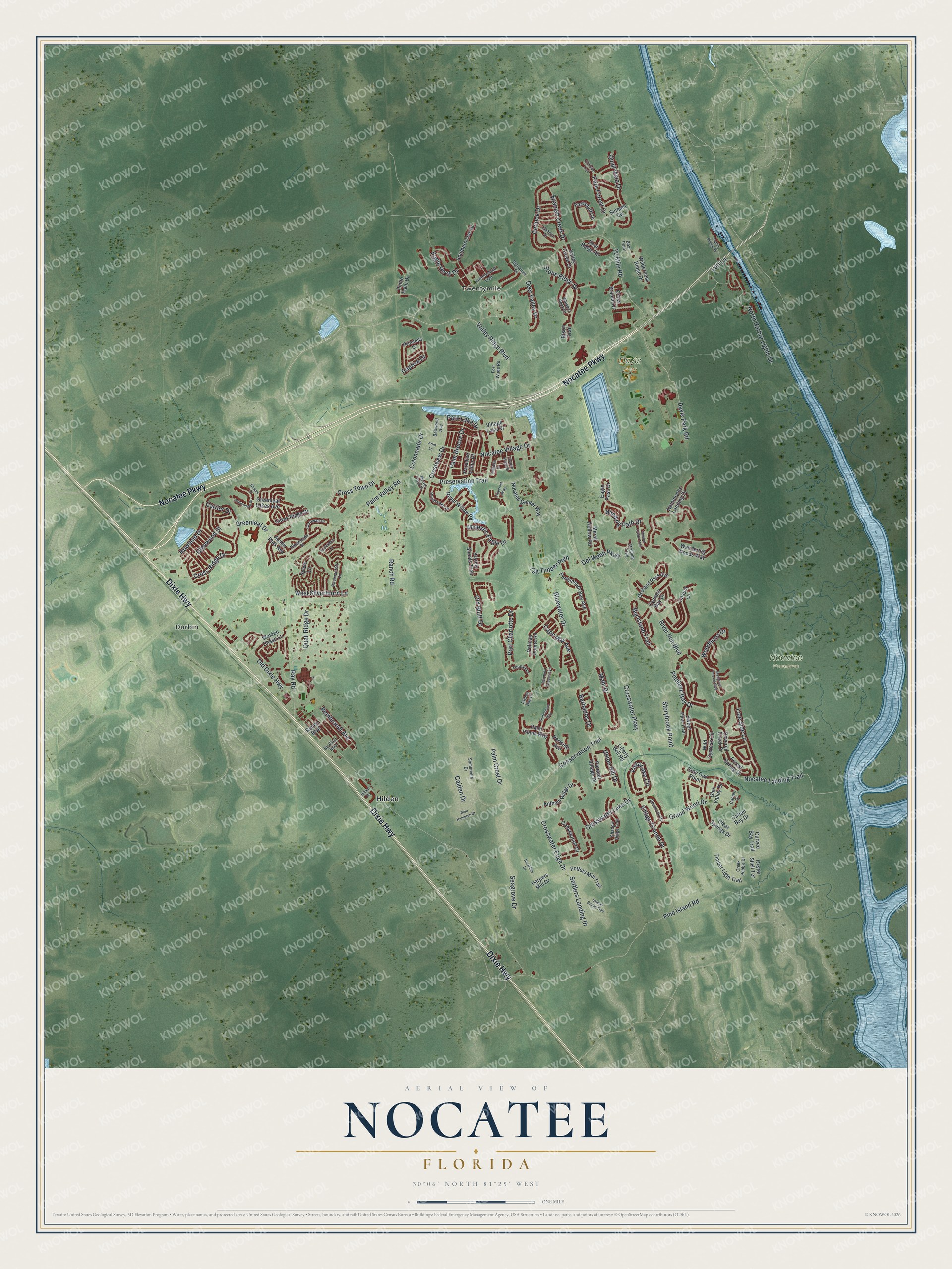
This beautifully detailed map of Nocatee, Florida was created in 2026 using aerial imagery combined with modern topographical, census, street and landmark data. It's a modern aerial view of Nocatee in St. Johns County, Florida, that combines modern data with a vintage aesthetic. The roads feature printed names, and if you look closely you can find your exact house accurately shown in its correct location.
Explore an aerial view of Nocatee, Florida
On this map you'll find Durbin, Twentymile, Davis Park, Nocatee Preserve, Hilden, Nocatee Parkway, Dixie Highway, Palm Valley Road, Valley Ridge Boulevard, Cross Town Drive, Crosswater Parkway, Davis Park Road, and more. Each red shape is a building, so zoom in on the preview and look for yours.
Every town has a first chapter, and Nocatee is no exception. The Moore family were the first residents of Nocatee, welcomed on April 4, 2007, to their new home in the Austin Park neighborhood. The PARC Group, the community's master developer, held a ceremony in their driveway and planted a sapling in front of the first home. For the first month or so, the Moores had all of Nocatee to themselves. That's from the Ponte Vedra Recorder.
Nocatee is a community in St. Johns County. The Census Bureau counted 22,503 people here in 2020.
Take a closer look at the Nocatee map
Names on this map
These names are printed on this map.
Places: Durbin, Twentymile, Davis Park, Nocatee Preserve and Hilden.
Streets and roads: Nocatee Parkway, Dixie Highway, Palm Valley Road, Valley Ridge Boulevard, Cross Town Drive, Crosswater Parkway, Davis Park Road, Park Lake Drive, Settlers Landing Drive, Crestview Drive, Colonnade Drive, Old Dixie Highway.
More street names, A to Z
20 Mile Road, Anthem Ridge Drive, Arlot Lane, Auburndale Drive, Austin Park Avenue, Barbados Drive, Bear Point, Bellwood Avenue, Bermuda Greens Avenue, Big Island Trail, Bison Trail, Blue Hampton Drive, Bluewater Drive, Breakline Drive, Caiden Drive, Cameo Drive, Cape May Avenue, Captiva Drive, Carrier Drive, Caspia Lane, Cattail Bay Drive, Citrus Ridge Drive, Clatter Bridge Road, Clear Springs Drive, Cliffside Trail, Conservation Trail, Constitution Drive, Cornwall Drive, Covered Creek Drive, Creek Pebble Drive, Cross Branch Drive, Cross Ridge Drive, Crosswater Edge Drive, Crosswater Lake Drive, Curved Bay Trail, Cypress Bay Drive, Da Vinci Boulevard, Deer Ridge Road, Deer Valley Drive, Del Webb Parkway, Eagle Pass Drive, Eagle Rock Drive, Forest Spring Drive, Fort Wade Road, Frontierland Trail, Galleon Drive, Garden Wood Drive, Glen Valley Drive, Glenwood Street, Gospel Drive, Grand Wood Drive, Gray Owl Point, Greenleaf Drive, Greenleaf Lakes Avenue, Gulfstream Way, Hammocks Landing Drive, Harpers Mill Drive, Hazelmoor Lane, Hilden Road, Howland Drive, Liberty Bell Road, Lori Lane, Mahi Drive, Majestic Eagle Drive, Mangrove Thicket Boulevard, Marietta Drive, Marsh Hollow Road, Myrtle Park Place, Nocatee Center Way, Nocatee Landing Trail, Nocatee Village Drive, North Harbor Lights Drive, Old Bluff Drive, Orchard Pass Avenue, Outlook Drive, Oyster Shell Terrace, Palm Breeze Drive, Palm Crest Drive, Palm Island Way, Paradise Valley Drive, Parkbluff Circle, Park Forest Drive, Pelican Pointe Road, Pindo Palm Drive, Pine Island Road, Pineland Bay Drive, Pinewoods Street, Pioneer Village Drive, Port Charlotte Drive, Portside Avenue, Portsmouth Bay Avenue, Potters Mill Trail, Preservation Trail, Princess Drive, Quail Ridge Drive, Quail Vista Drive, Ranch Road, Ravenscroft Lane, Ray Road, Rembrandt Avenue, Renoir Boulevard, River Run Boulevard, Royal Lake Drive, Royal Willow Road, Sawyer Bridge Trail, Seabrook Drive, Seagrove Drive, Shadow Ridge Trail, Signature Drive, Somerville Drive, Southern Oak Drive, Spanish Creek Drive, Stately Shoals Trail, Stone Ridge Drive, Storybrook Point, Strolling Trail, Summit Vw, Sweet Pine Trail, Sylvie Lane, Tall Timber Path, Tarpon Bay Court, Thicket Creek Trail, Tidecrest Parkway, Timber Light Trail, Topsail Drive, Tree Side Lane, Union Hill Drive, Valley Grove Drive, Village Grande Drive, Village Lake Drive, Vista Lake Circle, Walden Chase Lane, Wandering Woods Way, West Silverthorn Lane, Whisper Rock Drive, Wild Cypress Circle, Wilderness Ridge Drive, Winding Path Drive, Woodhurst Drive.
See it on a wall
The Nocatee map as a framed print. Swipe for more.


Created by KNOWOL in 2026. The buildings are small red shapes, the roads carry their printed names, and shaded relief shows the shape of the land. The title panel reads "AERIAL VIEW OF NOCATEE, FLORIDA" with 30°06' NORTH 81°25' WEST.
Hang it in the hallway, the office or the cabin, or give it to someone who left Nocatee and still calls it home. Open the preview and look for a street you know. See sizes and frames for the Nocatee map.